Trail Overview
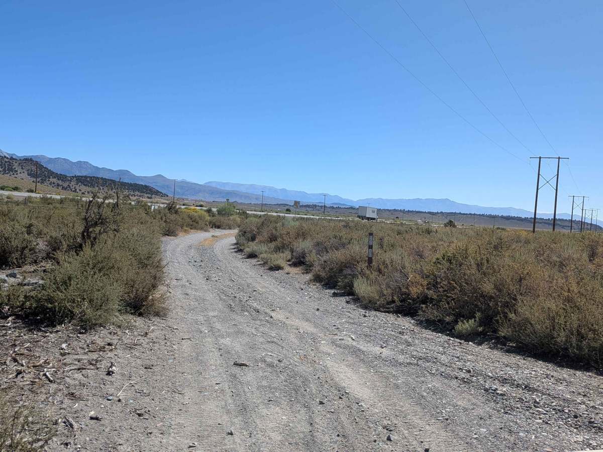
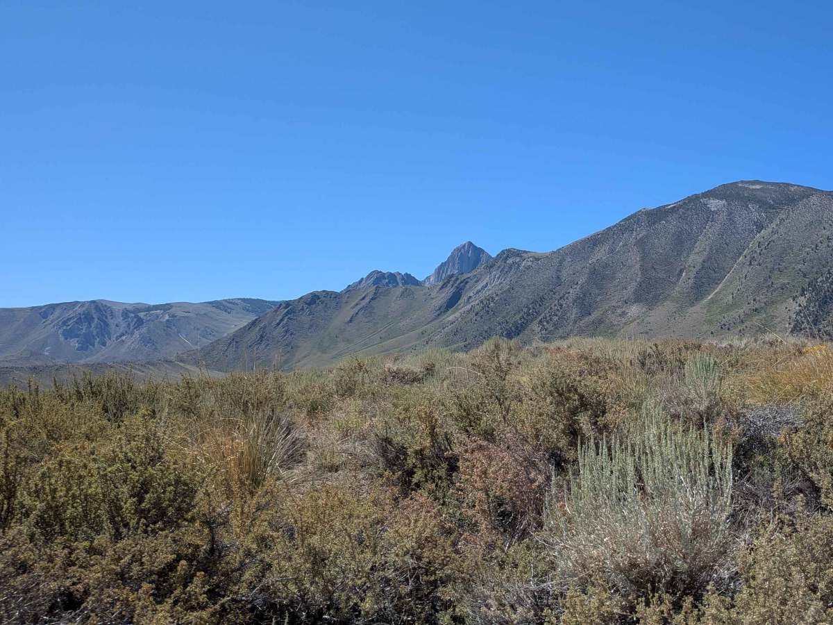
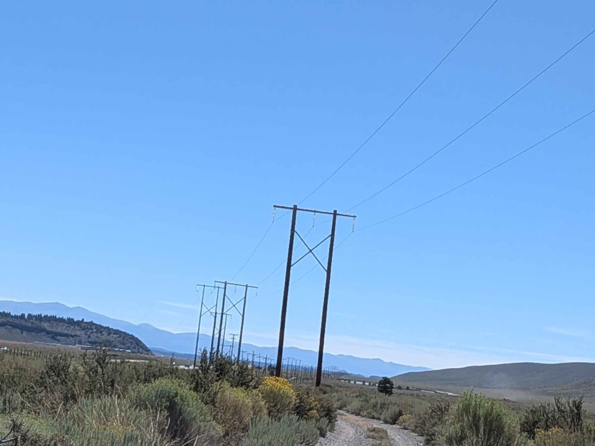
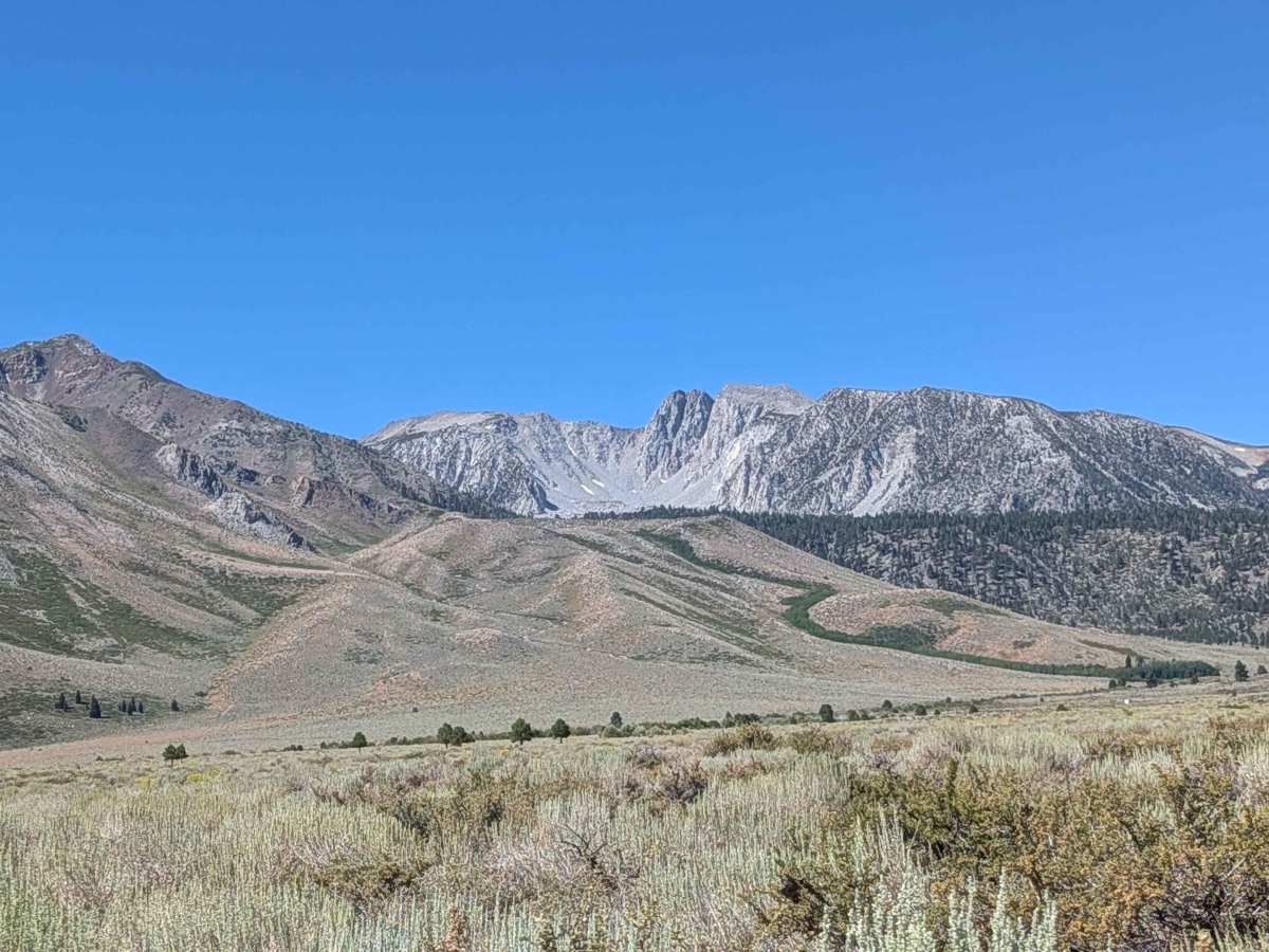
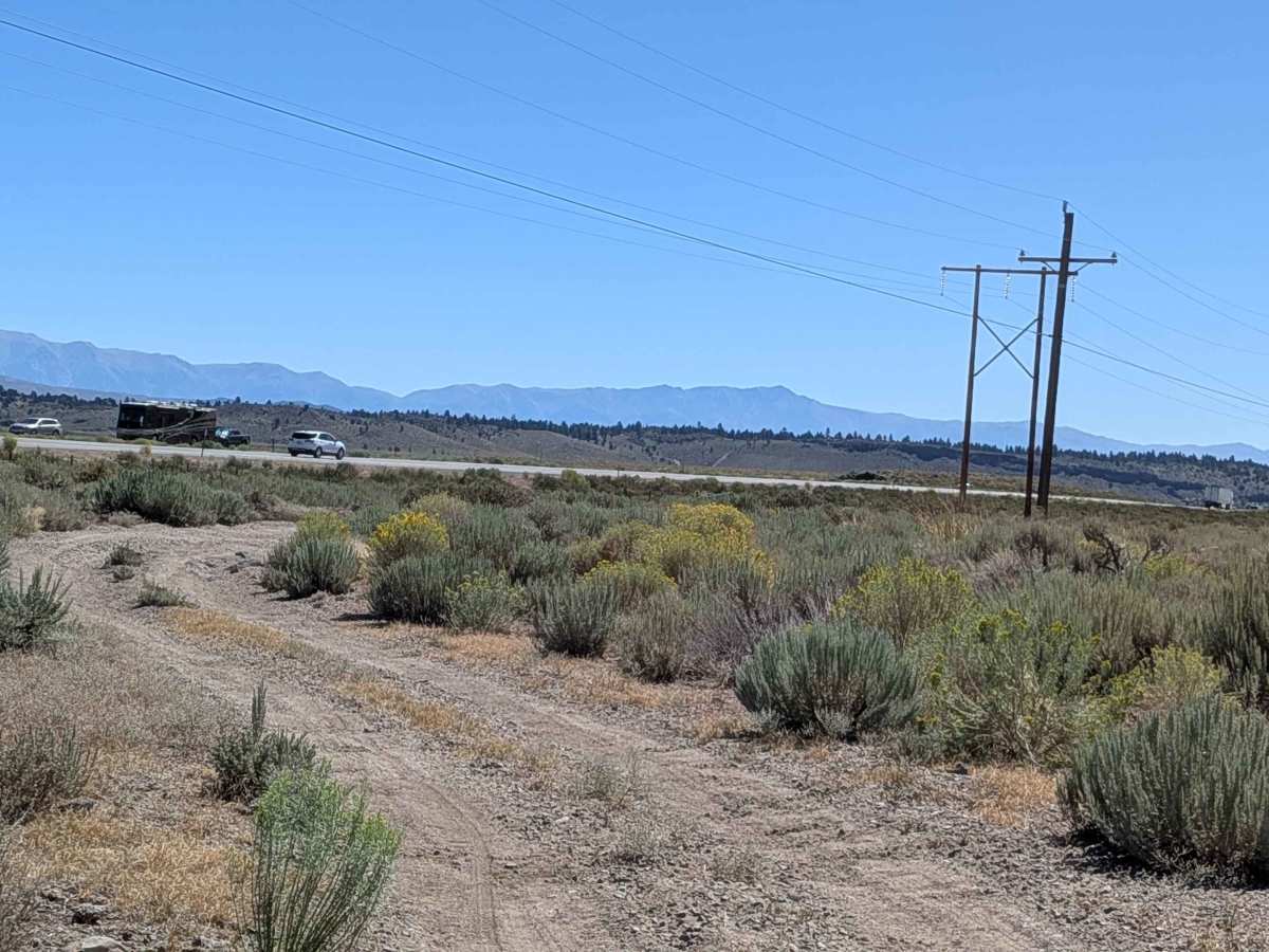
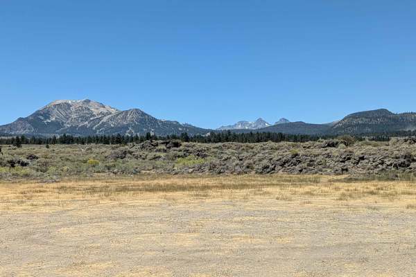
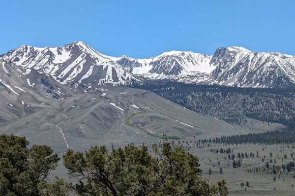
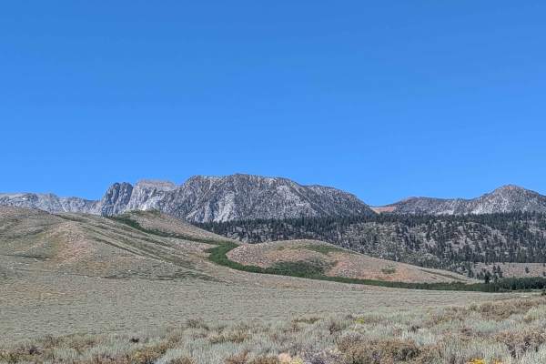
This dirt and gravel road follows a path parallel to a set of power lines, weaving through open high desert terrain with spectacular panoramic views in all directions. To the west and northwest, you’ll see the dramatic skyline of the Eastern Sierra, including Mammoth Mountain, the Minarets, Banner Peak, and Mount Ritter. Looking north and east, the Glass Mountains and White Mountains rise sharply from the basin.
The trail runs across a large open area with excellent cell service, and it’s not uncommon to spot small aircraft arriving and departing from the nearby Mammoth Yosemite Airport. This stretch is also known as a major deer migration corridor, so keep an eye out for wildlife—especially during dawn and dusk. You may also encounter mountain bikers, dog walkers, and hikers sharing the road.
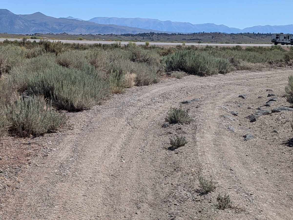
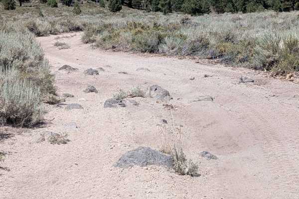
While generally manageable, the trail surface is marked by persistent washboards, ruts, and whoops—particularly near the loop section around the Mammoth Industrial Center, where the terrain becomes rockier with deeper ruts. This section can be more difficult for low-clearance vehicles, especially due to a center hump with hidden rocks in the overgrown weeds.
Difficulty
This route is best suited for high-clearance vehicles, but 2WD with good tires can manage it under dry conditions. There are no technical obstacles, but the rocky centerline, rutted sections, and moderate whoops require cautious driving, especially for stock or low-clearance rigs.
Notable Hazards:
Overgrown weeds may hide rocks in the center humps.
Heavy SXS traffic contributes to degraded trail conditions.
Shared use: Watch for pedestrians and bikers.