FS 4N89A

Total Miles0.7
Technical Rating
2Easy
Best TimeSpring, Summer, Fall
Trail TypeFull-Width Road
Accessible By
Open Trail Map

Trail Overview

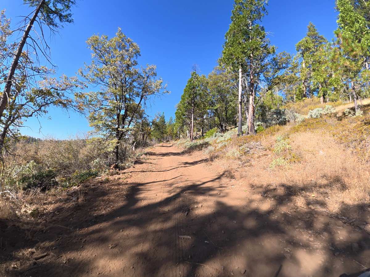
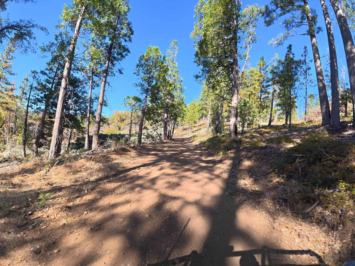
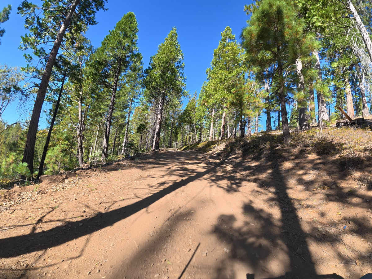
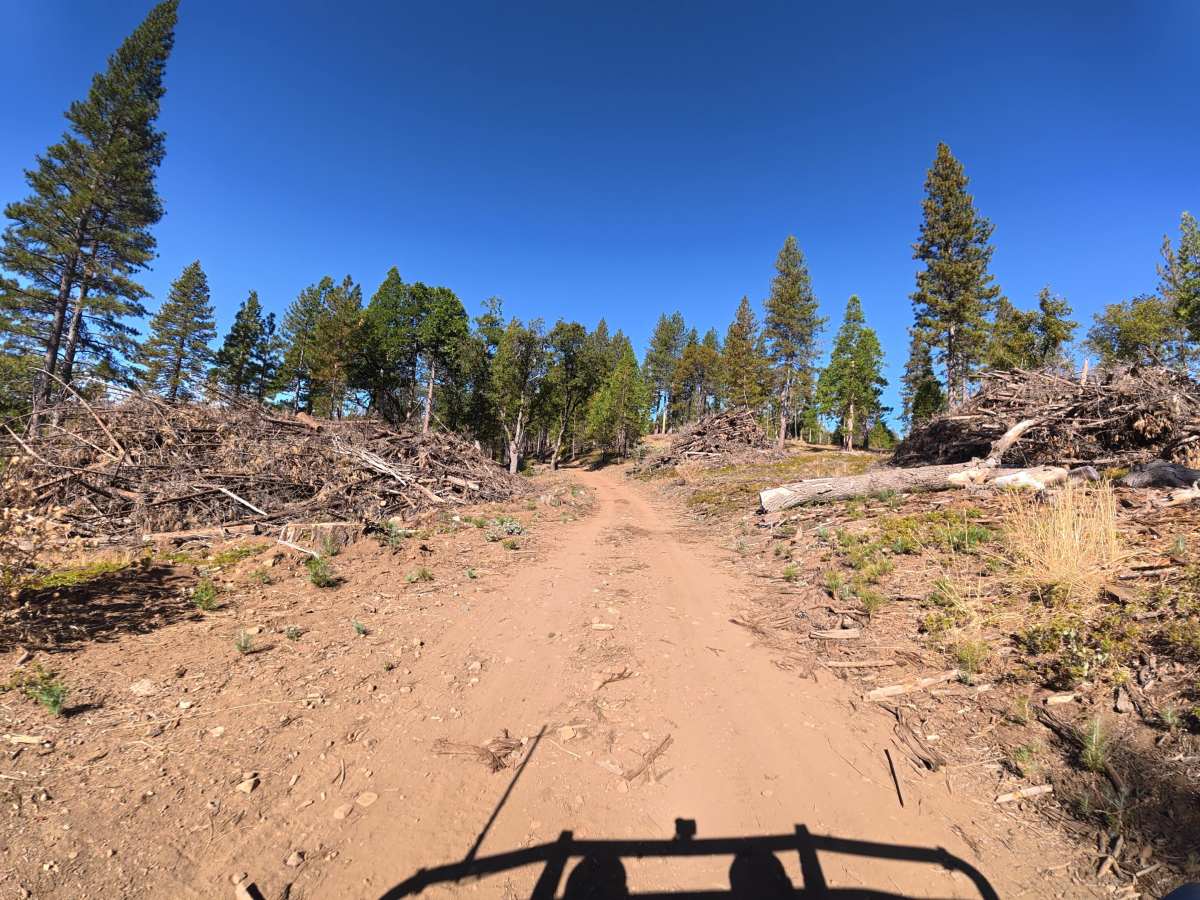
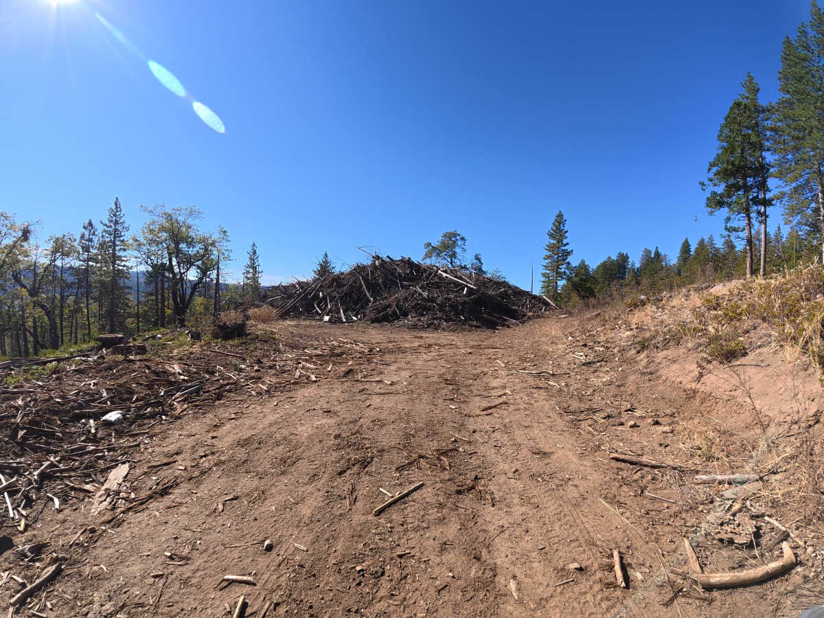
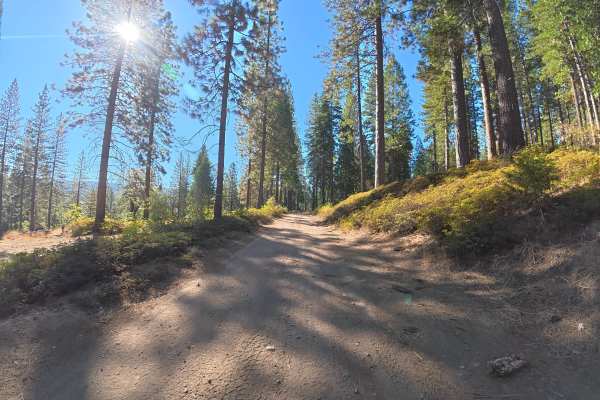
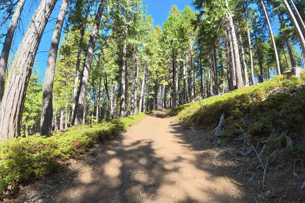
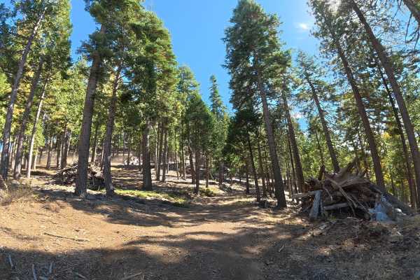
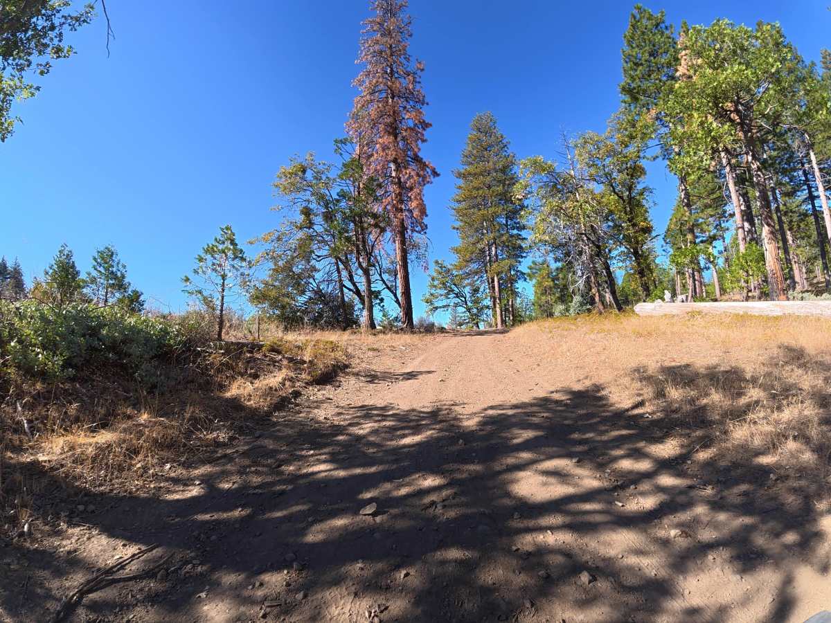
This narrow trail continues from FS 4N89 and climbs farther up the hillside with additional elevation gain. Ruts remain around 2–4 inches deep near the beginning, with little room for vehicles to pass. The route is short and relatively easy with no significant technical obstacles. The hillside setting provides scenic views throughout the drive. Near the far end, a level, shaded campsite accommodates up to two vehicles. The route becomes blocked by a large pile of cut lumber, with a motorbike-only trail continuing to the right.

Photos of FS 4N89A

Difficulty

This trail is rated Level 2 because of the narrow terrain, elevation gain, and minor 2–4 inch ruts. There are no significant obstacles, making it an easy and scenic route under dry conditions.

Technical Rating

2

FS 4N89A Trail can be accessed by the following ride types:

  • Single Track
  • 50 Inch
  • 60 Inch
  • High Clearance
  • Full Width

FS 4N89A Map

The onX Offroad Difference

onX Offroad combines trail photos, descriptions, difficulty ratings, width restrictions, seasonality, and more in a user-friendly interface. Available on all devices, with offline access and full compatibility with CarPlay and Android Auto. Discover what you're missing today!

Open Trail Map