Trail Overview
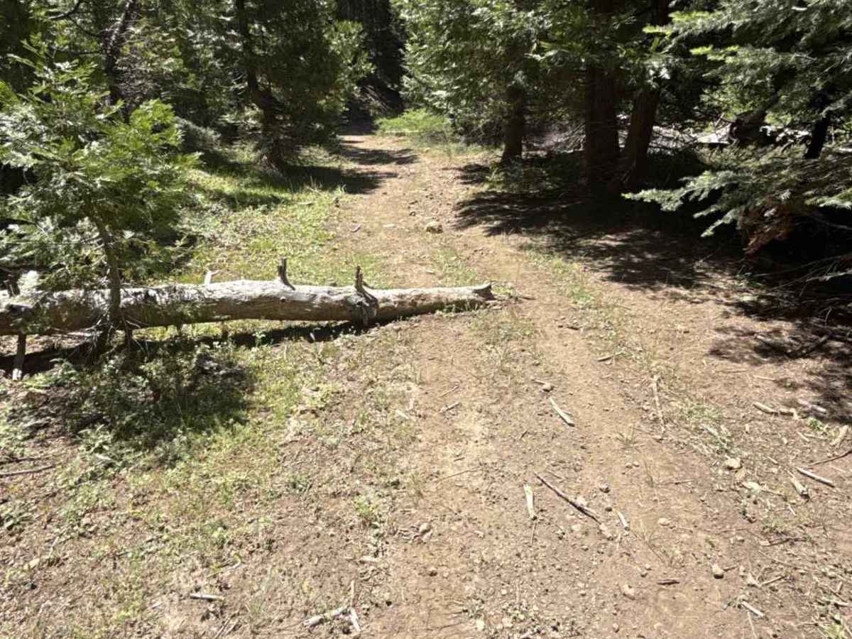
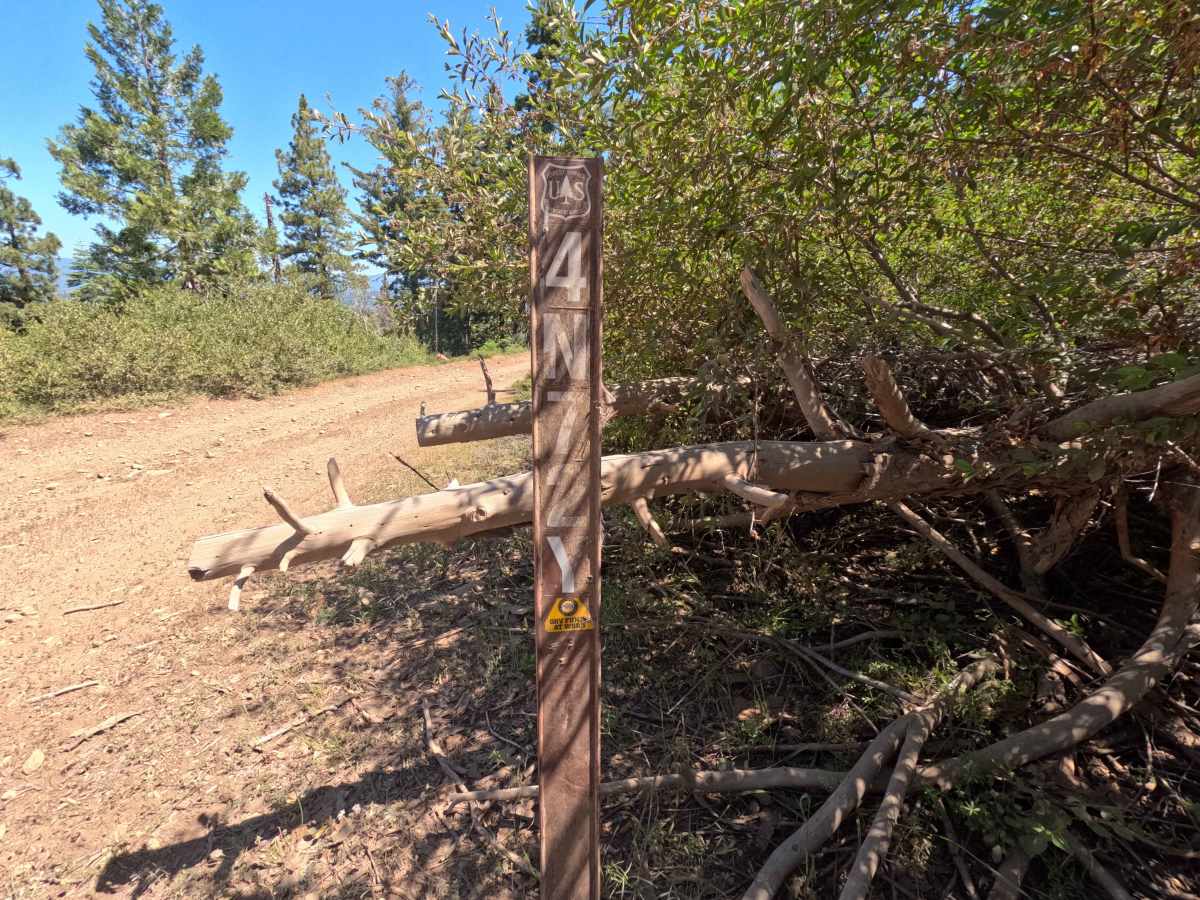
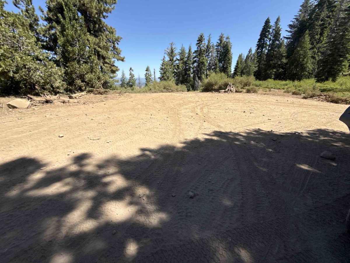
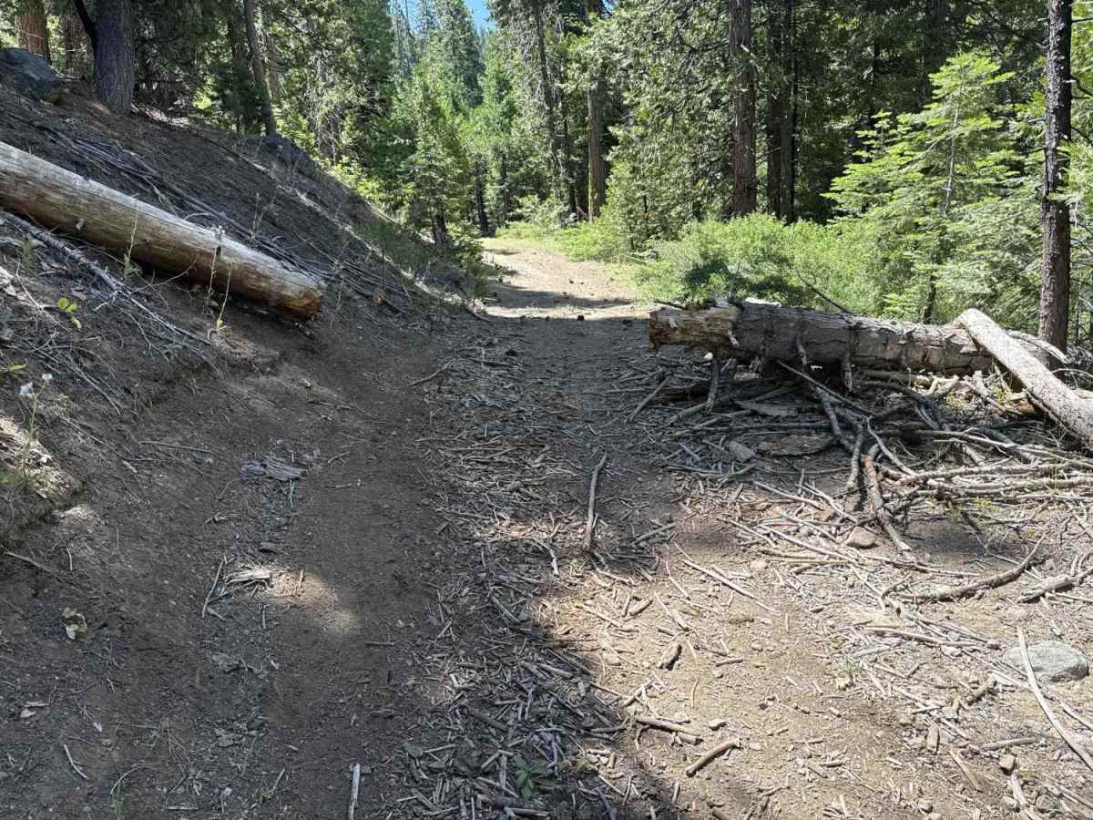
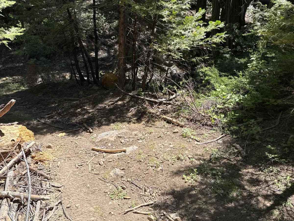
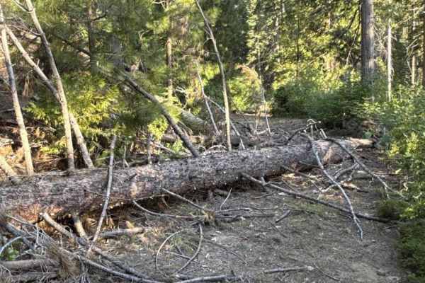
FS 4N72Y originates from the staging area at the junction of Dodge Ridge Road and Forest Road 4N33, tucked away within the Stanislaus National Forest. This secluded out-and-back forest spur immediately descends into a lush Sierra Nevada woodland filled with towering conifers, thick brush, and natural deadfall. Outdoor recreationists and trail explorers utilize this pathway to experience a quieter, more technical side route branching off the main Dodge Ridge corridor. The track consists of a tight, single-vehicle dirt and loose rock surface that snakes closely through dense forest cover and cleared timber before ending at its terminus, offering an engaging backcountry journey through the pines.
Difficulty
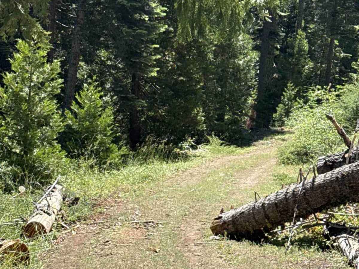
Rated 3 due to loose, uneven surface conditions, small downed logs, and exceptionally tight clearance corridors. The path presents loose rock, moderate grades, and woody debris requiring sufficient ground clearance to negotiate cleanly. Narrow clearances between standing trees and cut logs require precise tire placement, while heavy side brush will cause frequent brush contact along the entire length.