Trail Overview
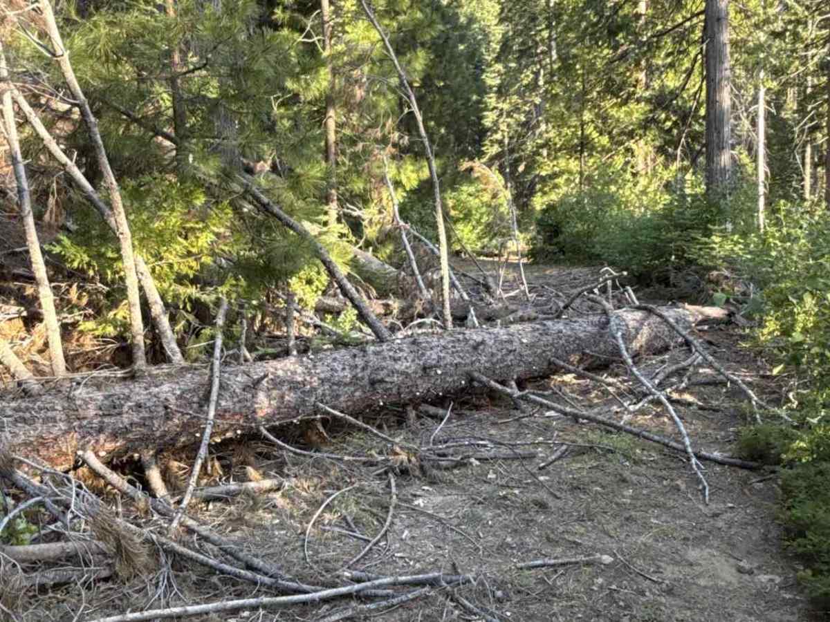
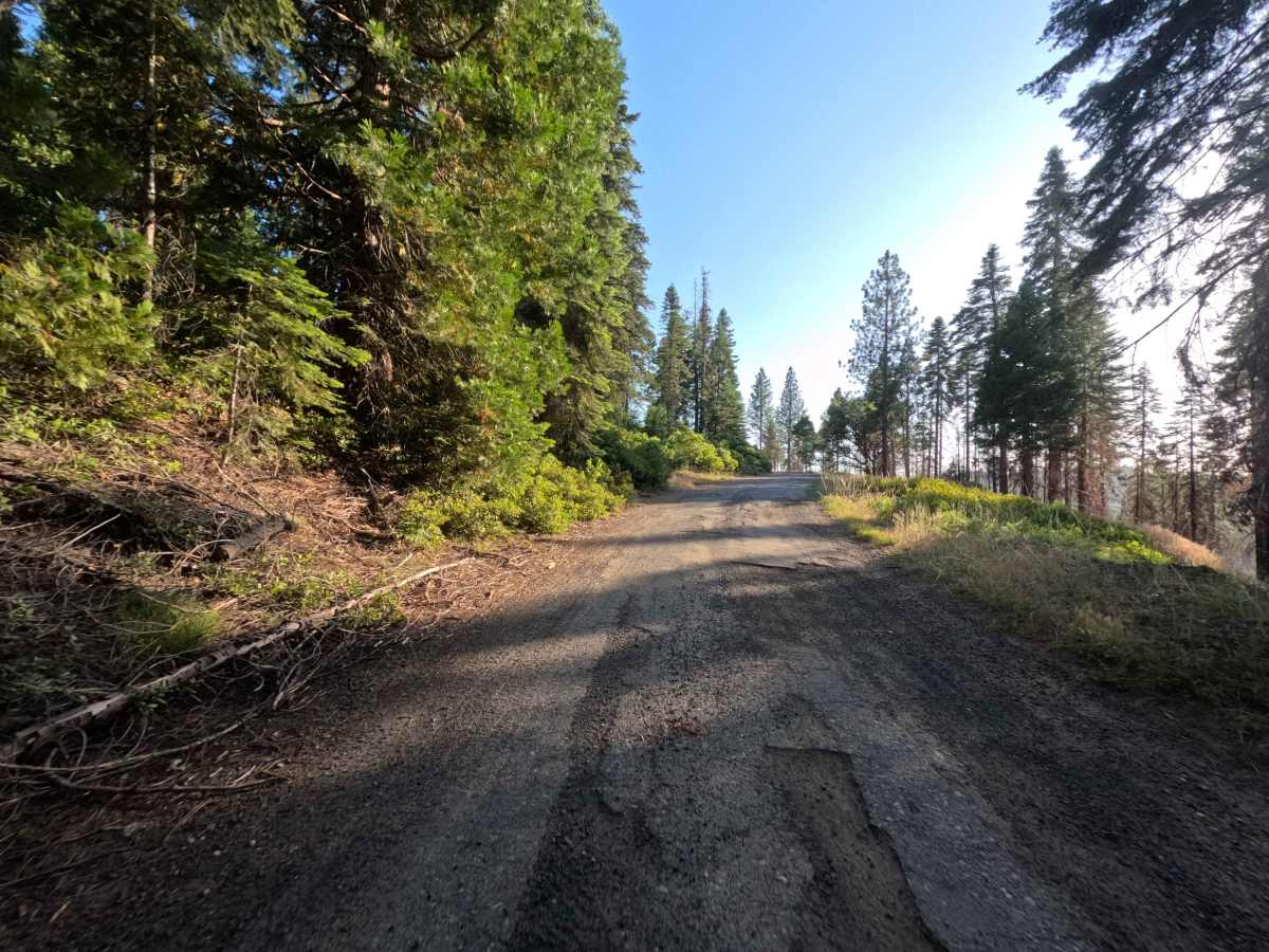
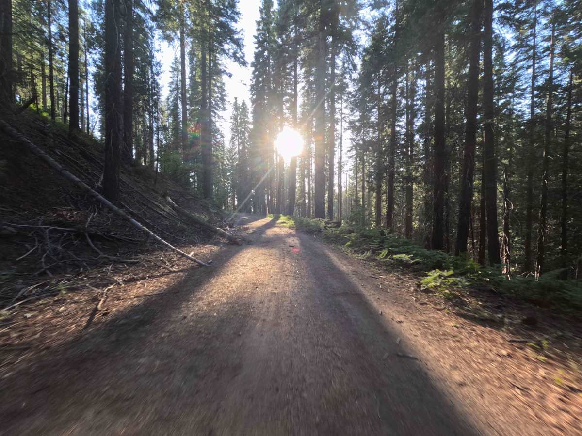
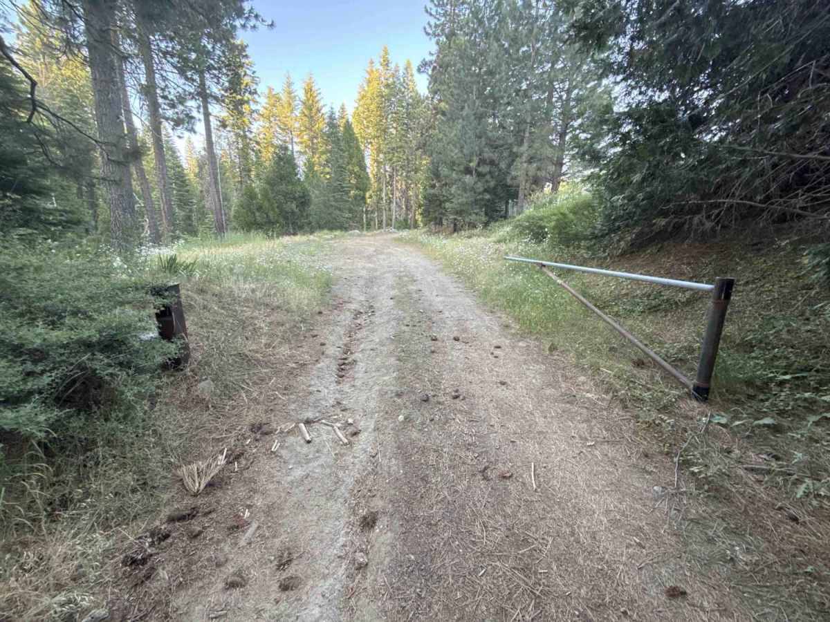
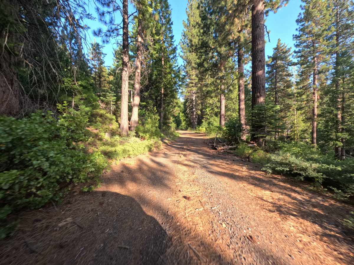
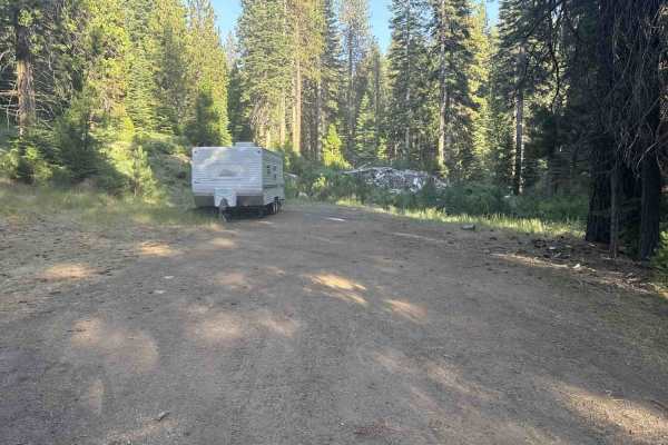
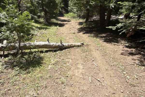
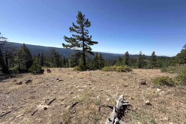
FS 4N11 originates north of Crabtree Road near an established community campsite before crossing southward across the paved roadbed into the backcountry. Managed by the Stanislaus National Forest, the route winds through a dense conifer forest dominated by mature ponderosa pines, towering firs, and flourishing roadside undergrowth. Beginning as an unmaintained, deteriorating strip of aged pavement, the single-lane passage quickly transitions into a hard-packed dirt and loose gravel surface rated at a 2 difficulty. The road functions as a connector route to secondary timber branches and spurs before narrowing under encroaching vegetation and coming to an abrupt halt at a fallen tree. Visitors primarily navigate this woodland track to reach primitive group campsites or to access connecting trails dispersed throughout the surrounding forest.
Difficulty
Rated 2, the vast majority of this route offers a smooth and manageable traverse across broken asphalt fragments, packed earth, and crushed gravel. Minor obstacles include light surface undulations, shallow ruts, and scattered small rocks that are easily navigated at moderate speeds. The difficulty rating is attributed to the final stretch past the group campsite, where thick brush encroaches heavily into the roadway, narrowing the corridor and creating unavoidable light vehicle pinstriping before reaching the unmaintained fallen log at the end.


 Offroad