Trail Overview
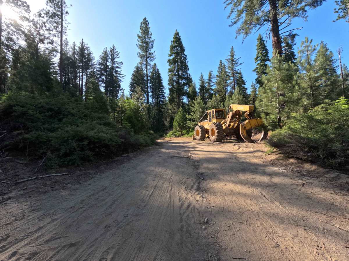
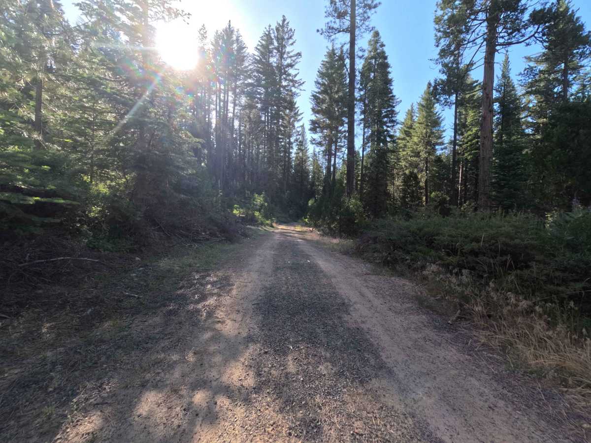
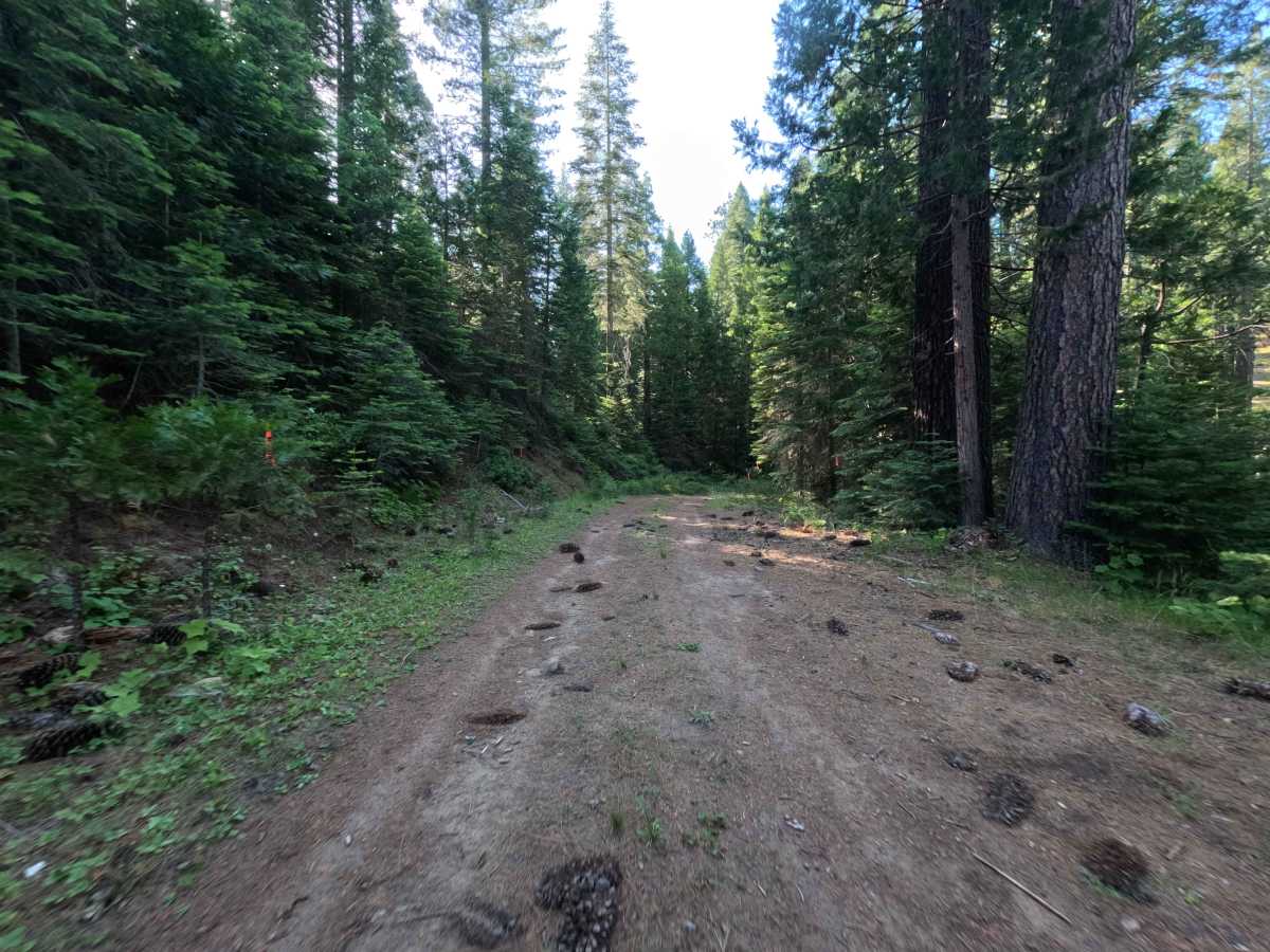
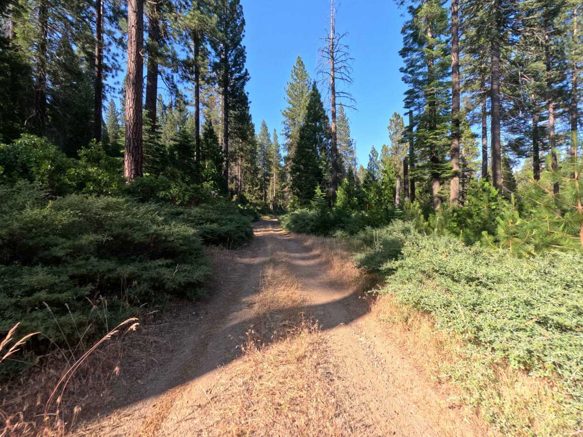
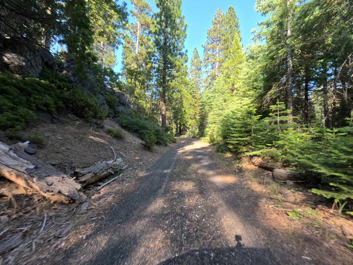
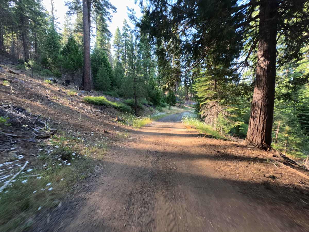
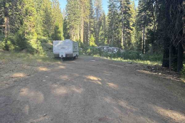
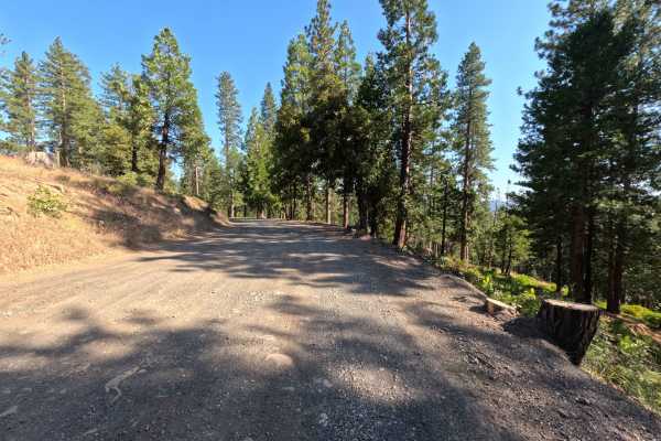
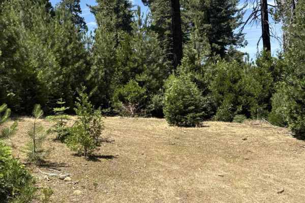
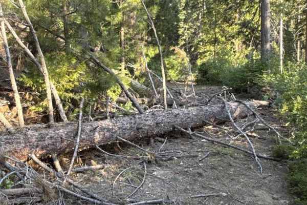
Branching directly off Forest Service Road 4N95, Forest Service Road 4N98 is a secluded out-and-back spur tucked away in the Stanislaus National Forest. The route winds gently through a flourishing mixed-conifer environment featuring towering ponderosa pines, fragrant cedars, and a healthy carpet of roadside shrubs and wildflowers. Consisting of a single-lane packed dirt and loose gravel track, this corridor carries a difficulty rating of 2. Recent timber maintenance has cleared away downed logs along the shoulders, keeping the road accessible from start to finish. Outdoor enthusiasts primarily venture down this quiet woodland lane to reach a solitary, shaded primitive dispersed campsite situated at the dead end, making it a great destination for campers seeking privacy away from primary travel routes.
Difficulty
Rated 2, this spur is mostly mild and level along a firm dirt and crushed-gravel foundation. The rating steps up due to intermittent shallow wheel ruts, brief rough patches with small loose stones, and light forest litter along the center crest. Maintaining a steady, moderate pace and navigating around roadside brush cuttings will ensure an easy, uneventful drive to the campsite clearing at the terminus.