FS 4N25

Total Miles3.2
Technical Rating
1Easy
Best TimeSummer, Fall, Spring
Trail TypeFull-Width Road
Accessible By
Open Trail Map

Trail Overview

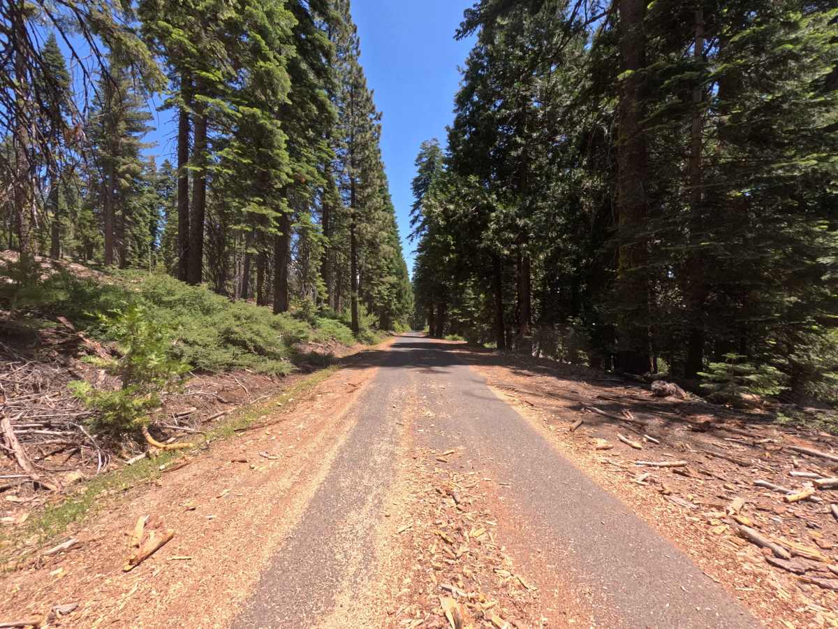
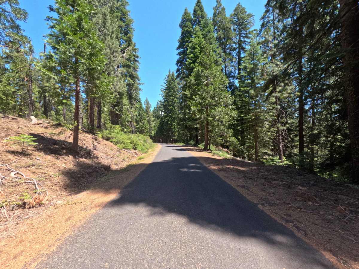
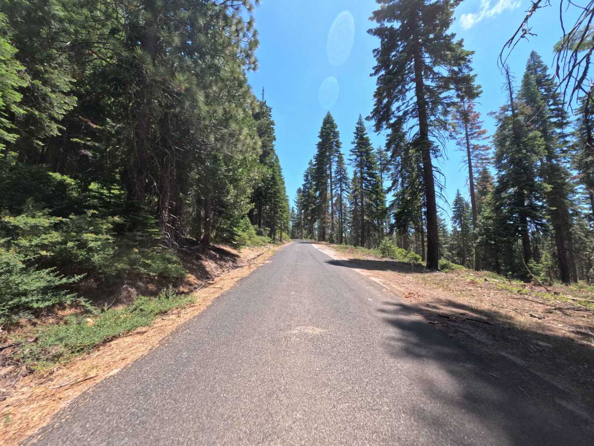
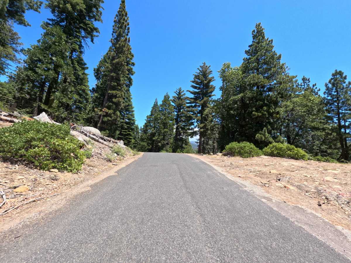
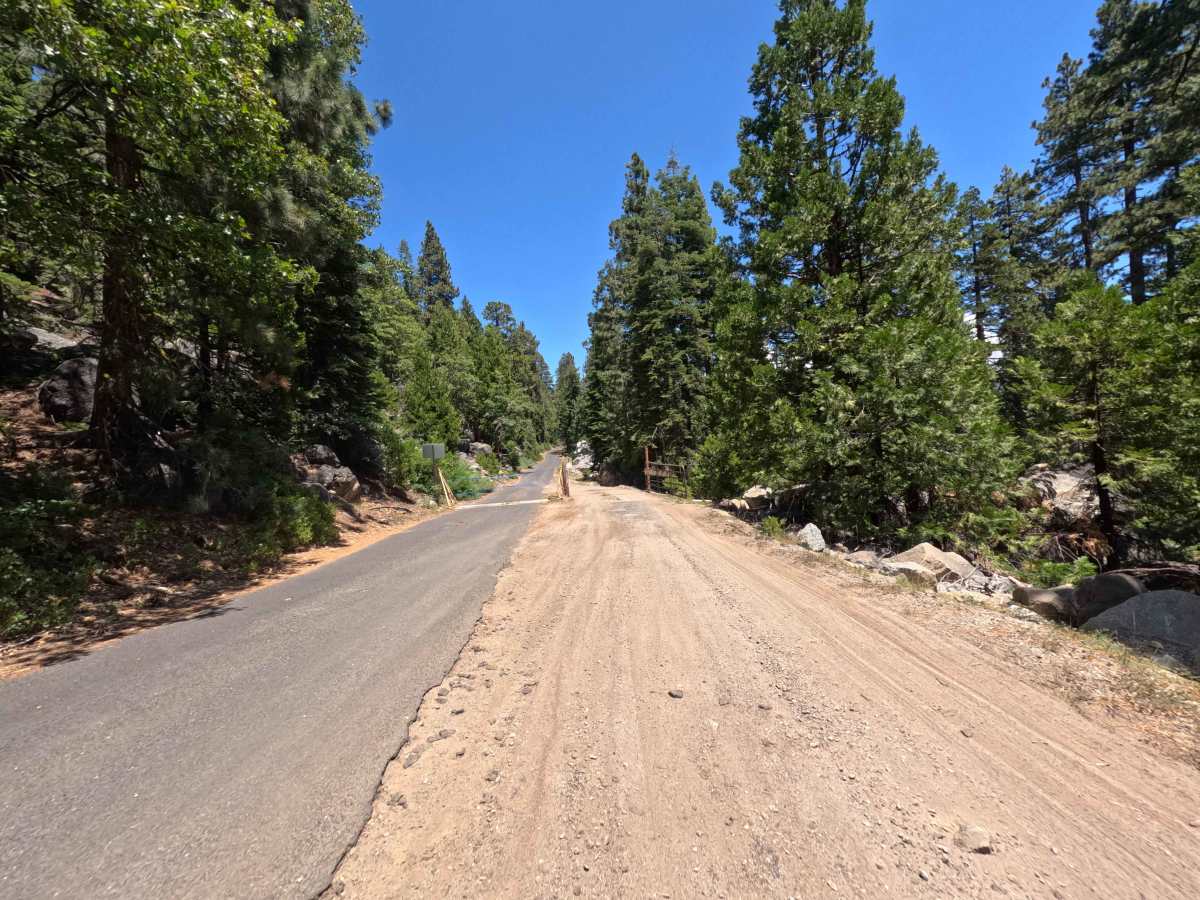
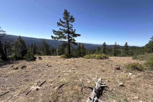
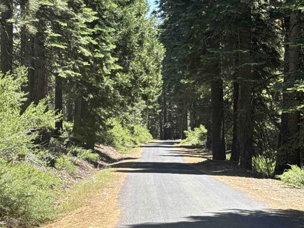
FS 4N25 serves as an essential paved connector linking the Hull Creek and Crabtree recreation areas within the Stanislaus National Forest. Accessed directly from adjoining forest corridors, this route delivers a seamless throughput across scenic high-country terrain. The surrounding environment features a vibrant, dense mixed-conifer forest shaded by towering pines and firs with scattered granite outcrops along the roadbed. Paved from end to end, the wide single- to two-lane route provides an exceptionally smooth driving surface. In addition to accommodating active forestry and timber operations, this roadway is frequently utilized by visitors traveling between major off-highway vehicle trail systems, hiking corridors, and dispersed camping zones throughout the district.

Photos of FS 4N25

Difficulty

Rated 1 for difficulty due to its continuous, well-maintained asphalt surface and gentle mountain grades. There are no rocky obstacles, deep ruts, or clearance requirements along the track. Hazards are minor and restricted to seasonal pine needle litter along the road edges, occasional tight corners, and potential encounters with oncoming traffic or heavy forestry equipment.

Technical Rating

1

FS 4N25 Trail can be accessed by the following ride types:

  • Single Track
  • 50 Inch
  • 60 Inch
  • High Clearance
  • Full Width

FS 4N25 Map

The onX Offroad Difference

onX Offroad combines trail photos, descriptions, difficulty ratings, width restrictions, seasonality, and more in a user-friendly interface. Available on all devices, with offline access and full compatibility with CarPlay and Android Auto. Discover what you're missing today!

Open Trail Map