Trail Overview
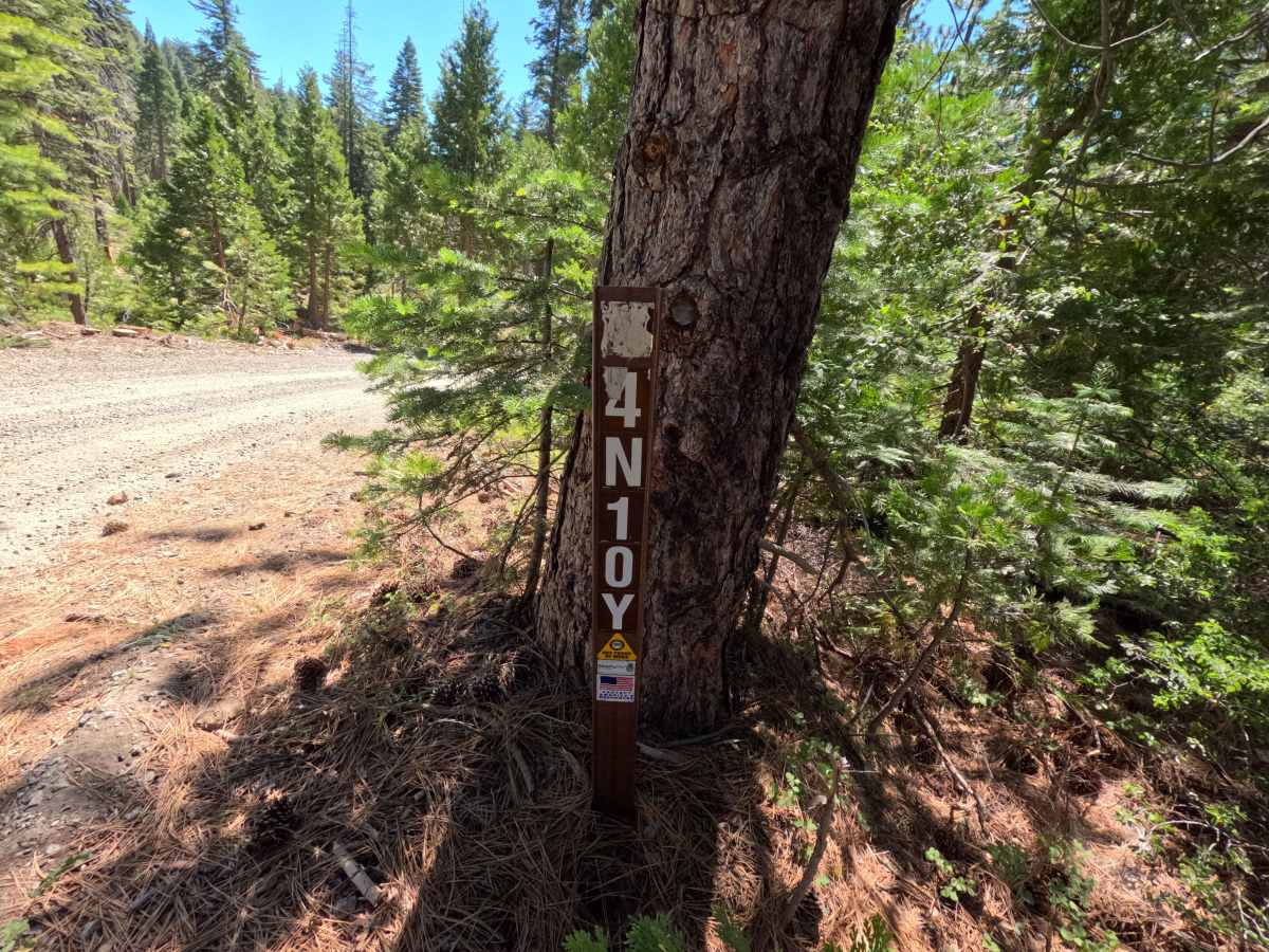
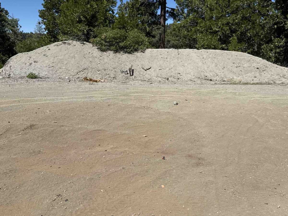
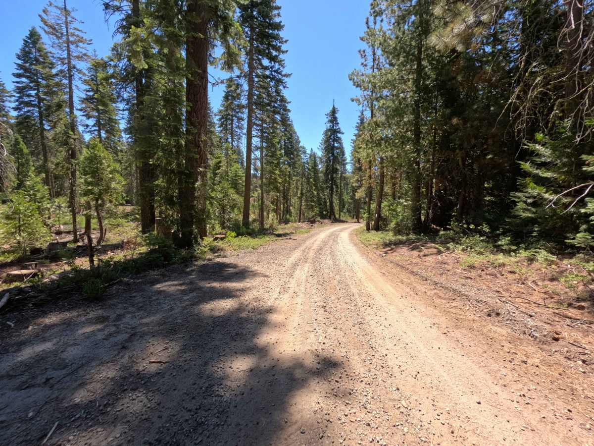
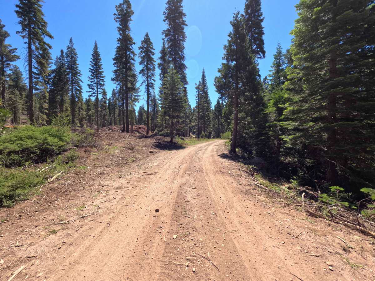
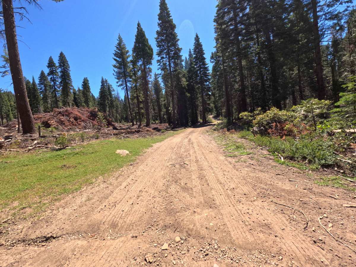
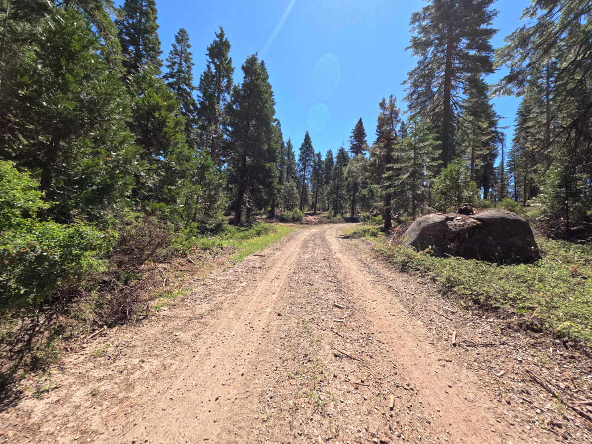
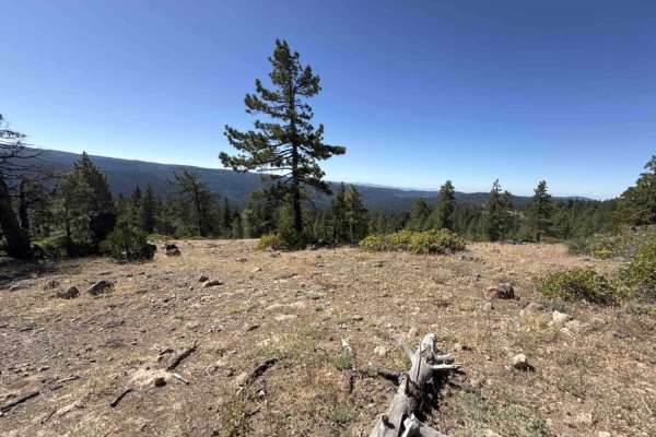
Accessed directly off Forest Road FS 4N25, FS 4N10Y is a brief, single-lane out-and-back spur that ascends gently to a broad summit landing. Situated within Stanislaus National Forest, the track is enveloped by a lush evergreen forest filled with towering pines, firs, and verdant hillside brush. Featuring a well-maintained, smoothly packed dirt and fine gravel surface, this gentle spur holds an approachable Technical Rating of 1. The road climbs steadily without tight switchbacks or significant surface erosion, leading directly to an expansive dirt clearing at 0.5 miles that has historically served timber management operations. Today, the summit plateau is frequently utilized as an informal target shooting area, complete with an earthen backstop berm and extended sightlines suitable for recreational shooting practice. Motorists and outdoor recreationists primarily visit this short woodland spur to access the hilltop shooting lanes, take in mountain views through the tree canopy, or find a convenient staging turnaround off the main travel route.
Difficulty
Earning an easy Technical Rating of 1, this short spur presents a smooth, predictable driving surface with virtually no technical terrain obstacles under dry conditions. The firm dirt and fine gravel base maintains consistent traction along a mild, steady uphill grade with no severe ruts, deep washouts, or exposed boulders. Roadside vegetation remains well cleared back from the corridor, allowing ample clearance without risk of body contact. The spur terminates at the 0.5-mile mark in a very wide, level dirt clearing that offers effortless turnaround space for vehicles of any size.

 Offroad