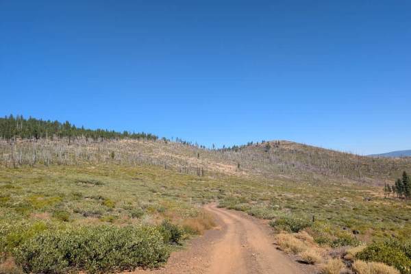
FS 33N38 South

Total Miles2.6
Technical Rating
4Moderate
Best TimeSpring, Summer, Fall
Trail TypeFull-Width Road
Accessible By
Open Trail Map

Trail Overview

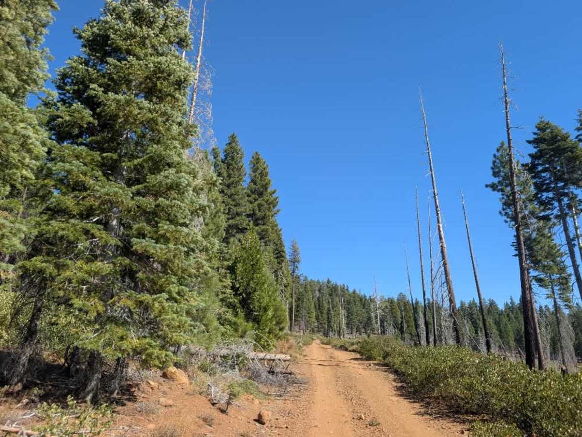
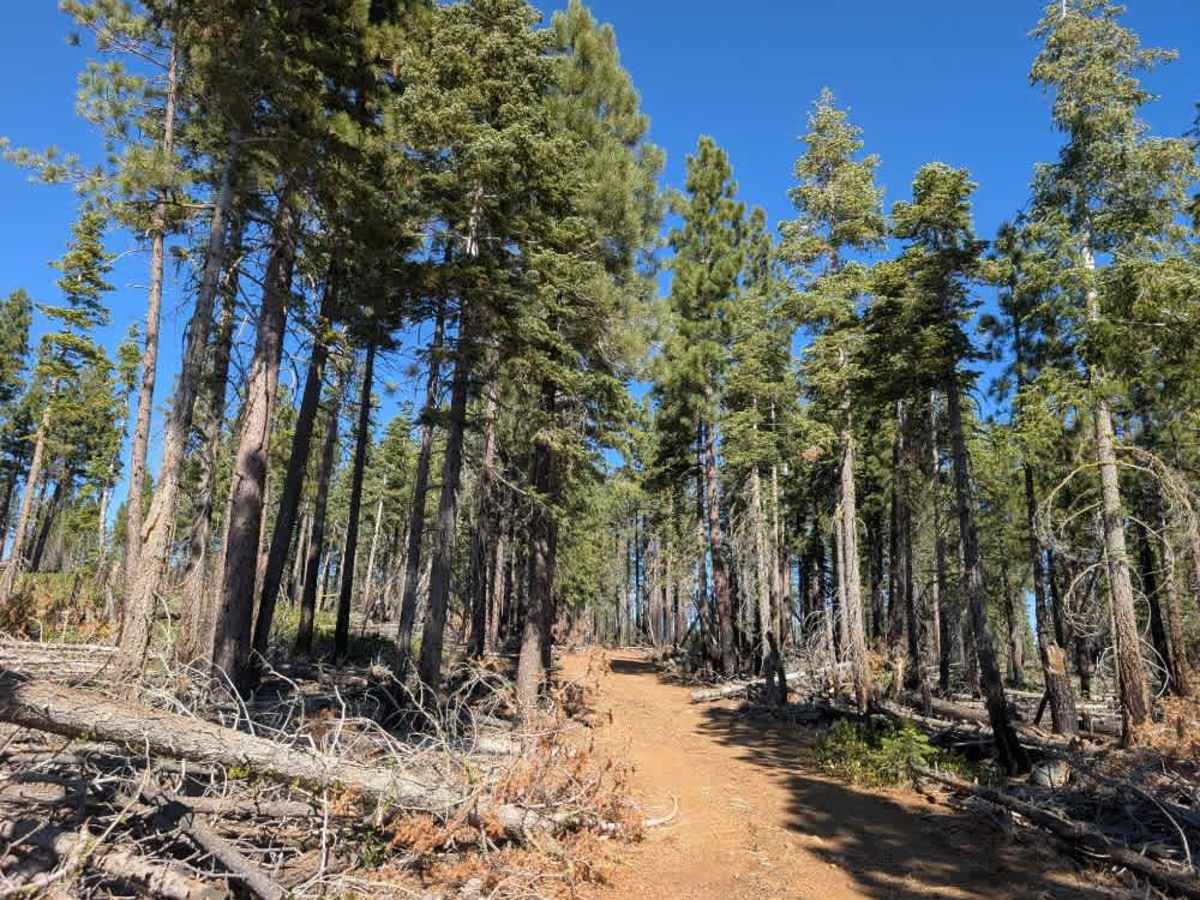
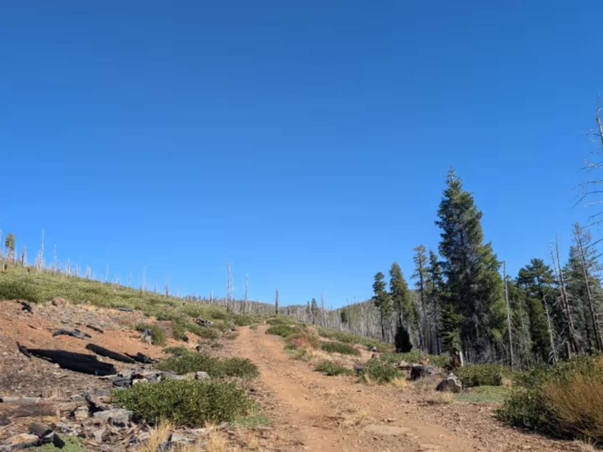
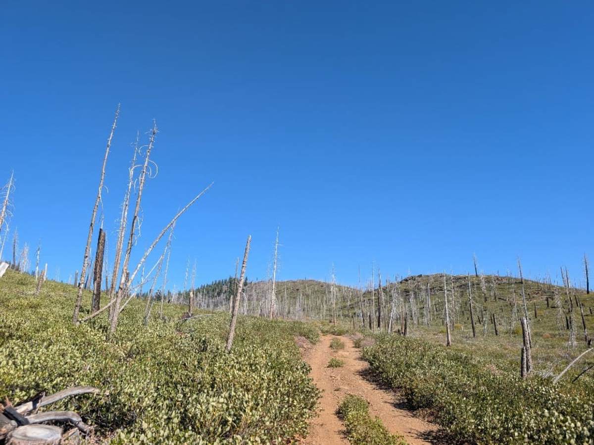
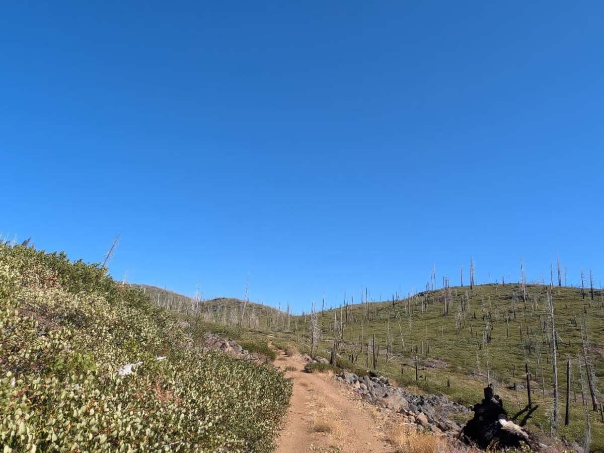
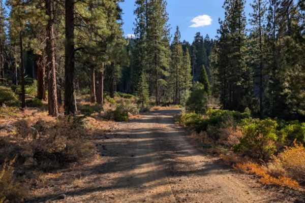
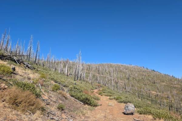
This trail starts beautifully, branching from the main gravel road and climbing through scenic terrain before conditions change dramatically. As you continue, the route becomes extremely narrow and overgrown, with heavy brush that makes pinstriping unavoidable. Fallen trees and loose rocks add to the challenge, and the trail eventually reaches a particularly rough section that requires careful driving and suitable off-road equipment. High-clearance four-wheel drive is required, and you may need low range to negotiate the loose, rocky terrain. The difficulty depends partly on your direction of travel: approaching from the south involves a steep, rocky descent, while coming from the north means tackling the same section uphill. This isn’t traditional rock crawling, but the loose rocks, tight clearance, and uneven ground. Once you commit to the narrow section, there are no reliable turnaround points, so assess your vehicle and conditions before proceeding. ATVs, UTVs, Side-by-Sides, and Dirt Bikes must always have a valid California ATV Operating Permit sticker.

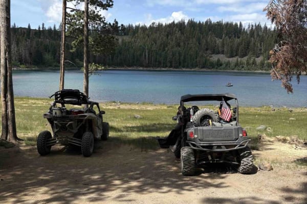
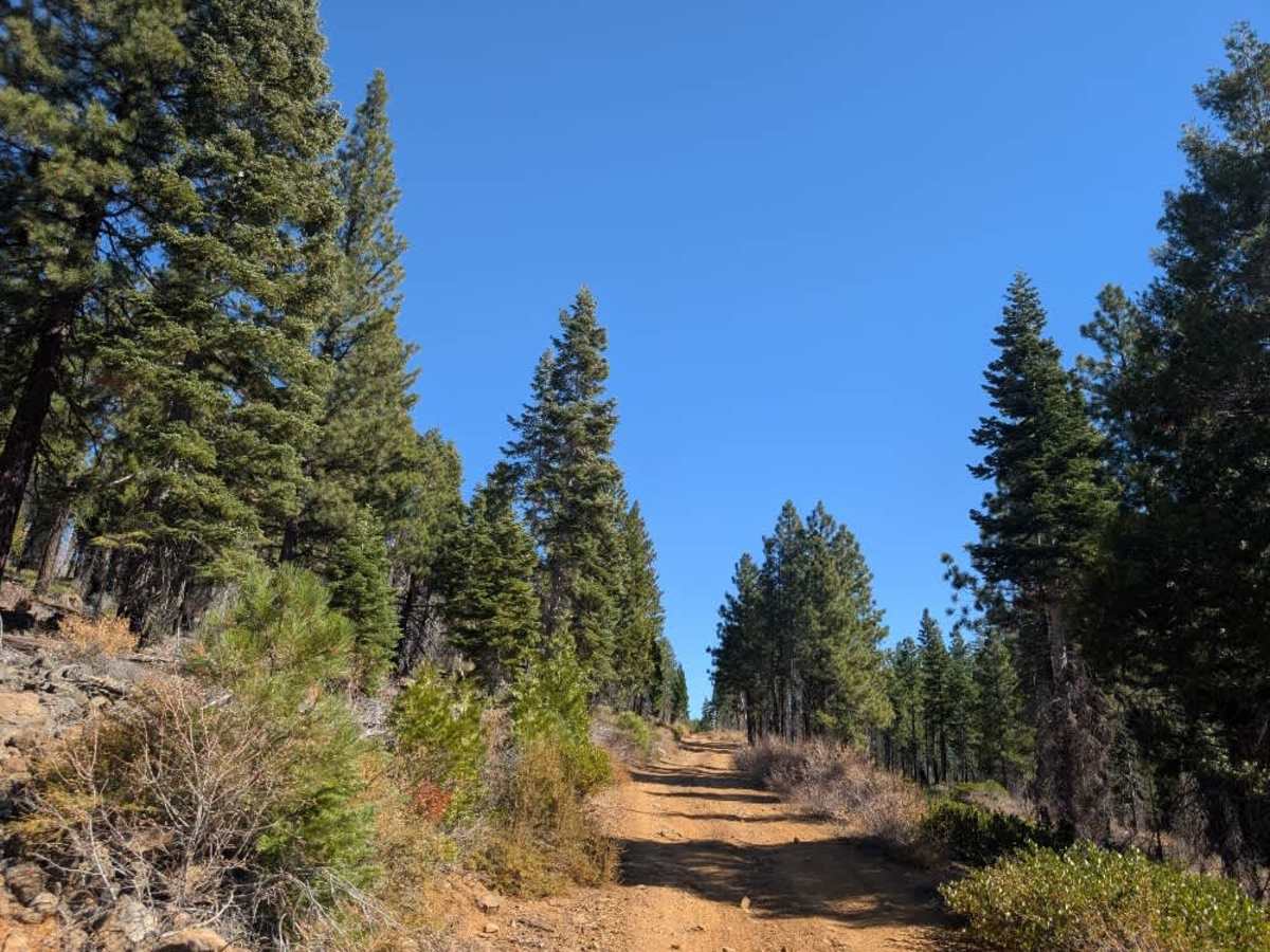
Photos of FS 33N38 South

Difficulty

The trail becomes narrow and heavily overgrown, with steep rocky sections and loose terrain requiring high-clearance four-wheel drive and careful navigation.

Technical Rating

4

FS 33N38 South Trail can be accessed by the following ride types:

  • Single Track
  • 50 Inch
  • 60 Inch
  • High Clearance
  • Full Width

FS 33N38 South Map

The onX Offroad Difference

onX Offroad combines trail photos, descriptions, difficulty ratings, width restrictions, seasonality, and more in a user-friendly interface. Available on all devices, with offline access and full compatibility with CarPlay and Android Auto. Discover what you're missing today!

Open Trail Map