FS 33N21B

Total Miles2.8
Technical Rating
1Easy
Best TimeSpring, Summer, Fall
Trail TypeFull-Width Road
Accessible By
Open Trail Map

Trail Overview

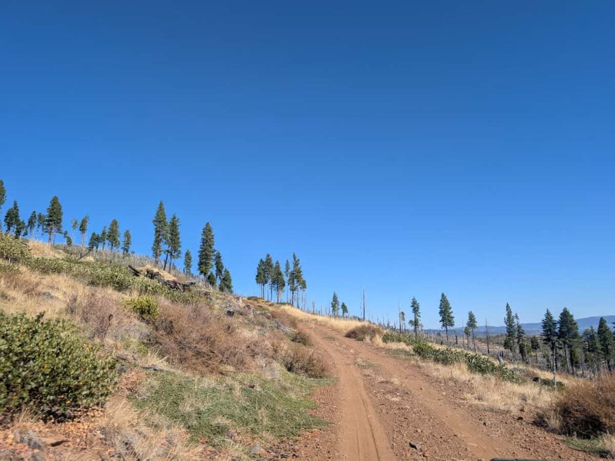
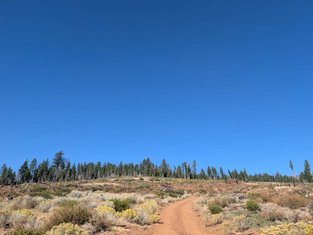
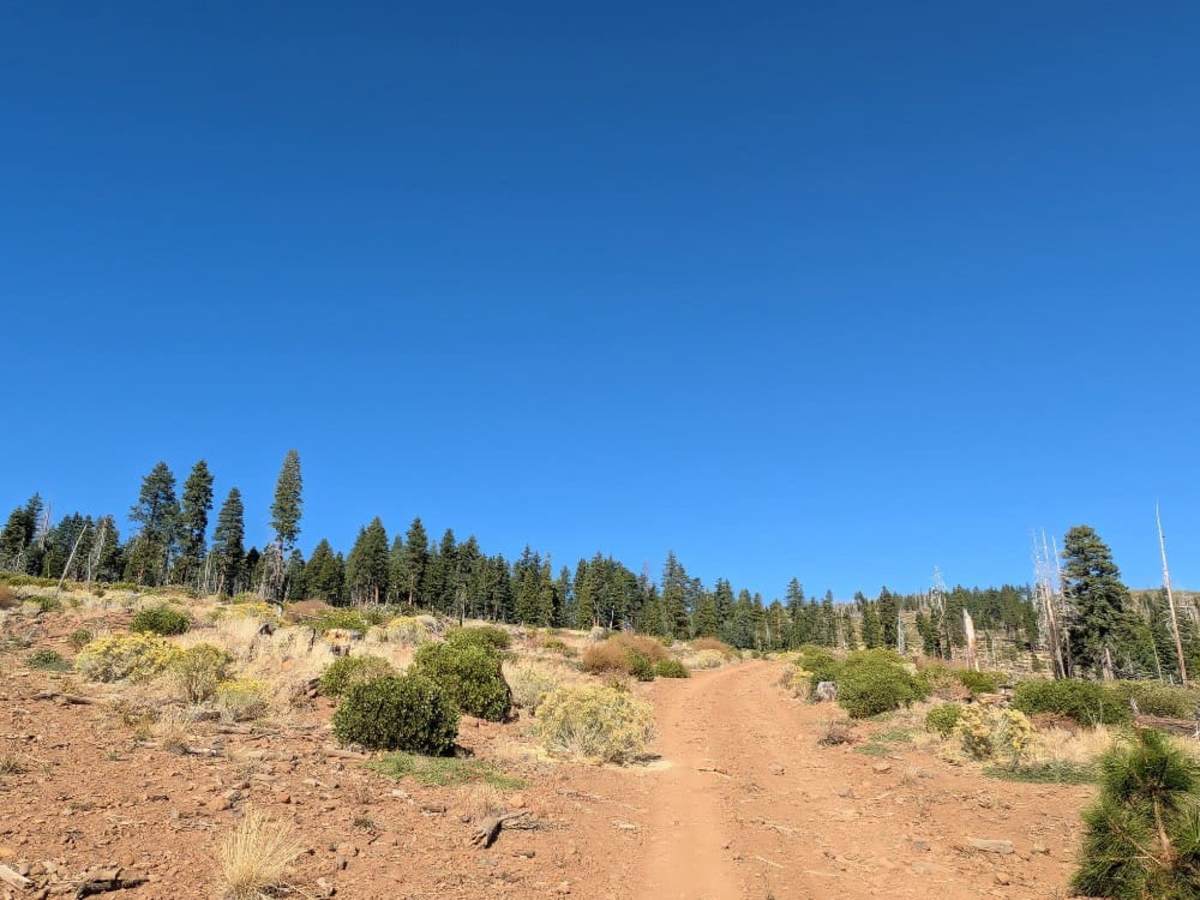
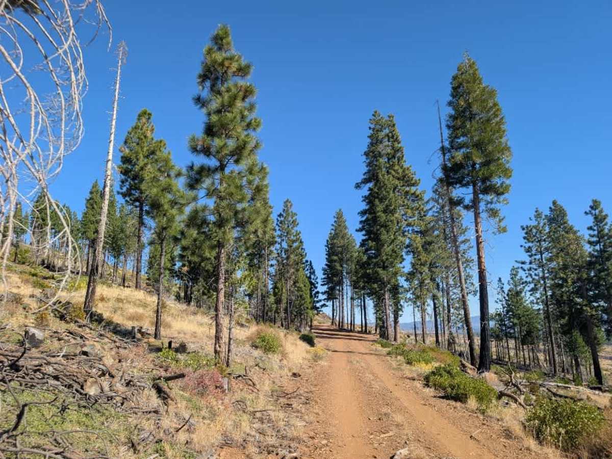
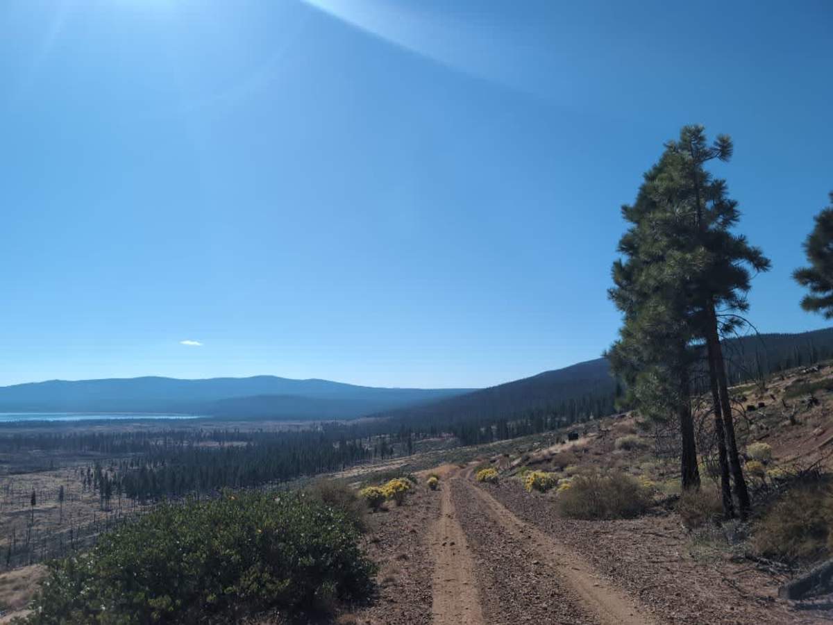
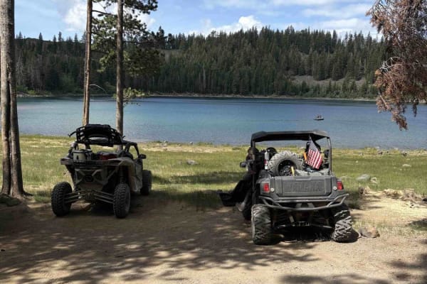
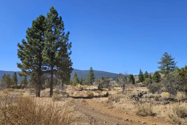
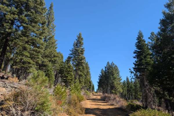
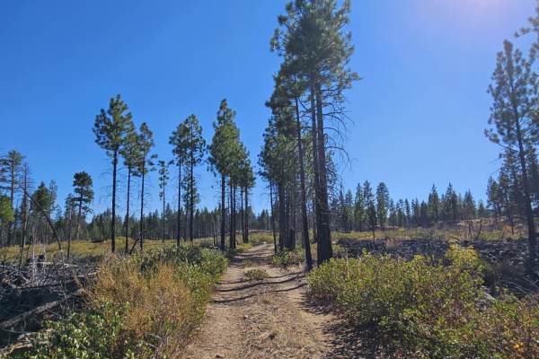
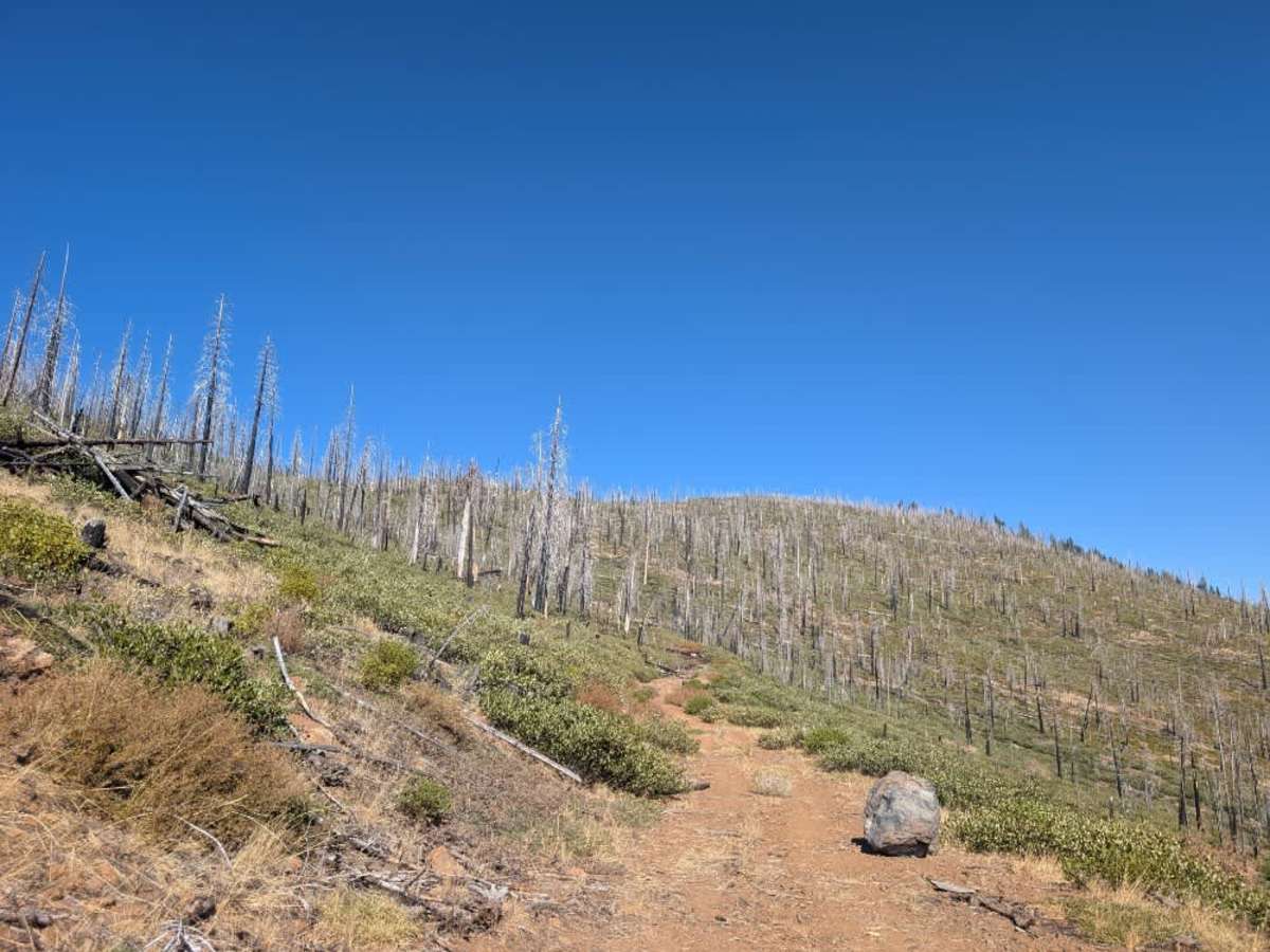
This maintained trail climbs steadily toward a mountain ridge, offering spectacular views of Eagle Lake and the surrounding volcanic forest. The landscape is relatively sparse, with scattered trees and rugged terrain that reflect the area’s volcanic origins. The road has a dusty, reddish surface mixed with sand and plenty of volcanic rock, so expect an uneven ride throughout. Rockfall is common along this route, and larger rocks sometimes obstruct the driving path, so keep an eye out and choose your line carefully. Near the end, fallen trees block further progress, and the route ends there. A well-used turnaround area sits just before the blockage and is easy to recognize. Take your time on the climb and enjoy the scenery along the ridge. ATVs, UTVs, Side-by-Sides, and Dirt Bikes must always have a valid California ATV Operating Permit sticker.

Photos of FS 33N21B

Difficulty

The trail has an uneven, rocky surface with loose sand and occasional large rocks obstructing the path.

Technical Rating

1

FS 33N21B Trail can be accessed by the following ride types:

  • Single Track
  • 50 Inch
  • 60 Inch
  • High Clearance
  • Full Width

FS 33N21B Map

The onX Offroad Difference

onX Offroad combines trail photos, descriptions, difficulty ratings, width restrictions, seasonality, and more in a user-friendly interface. Available on all devices, with offline access and full compatibility with CarPlay and Android Auto. Discover what you're missing today!

Open Trail Map