Trail Overview
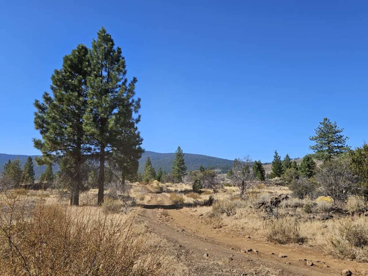
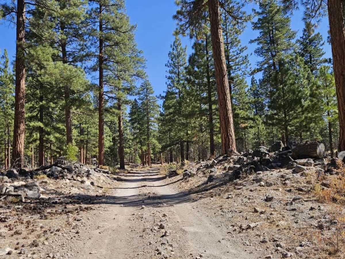
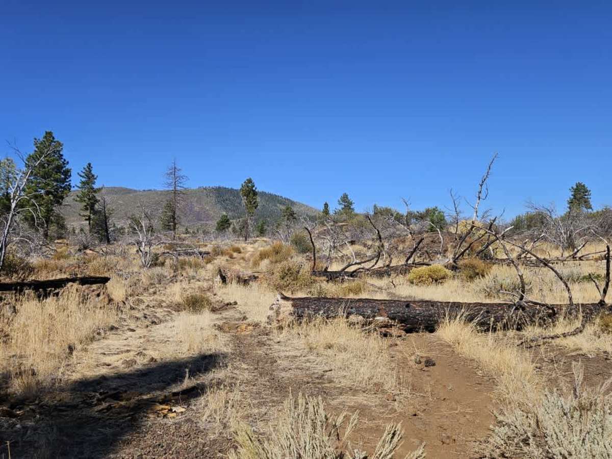
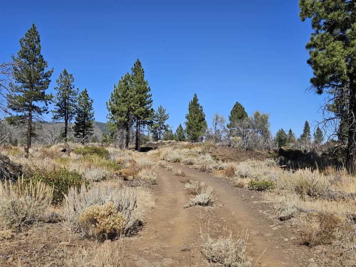
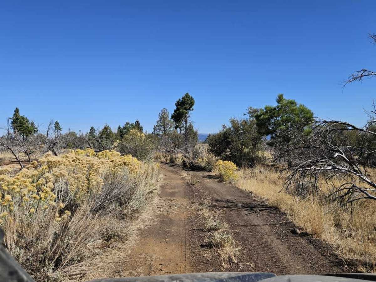
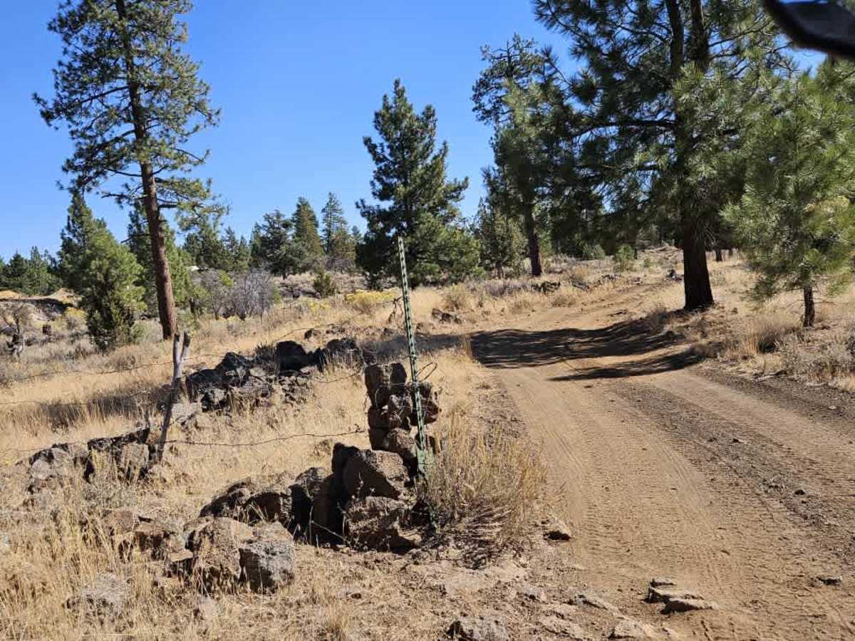
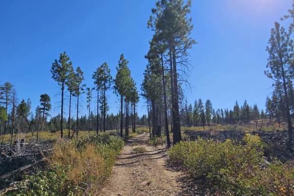
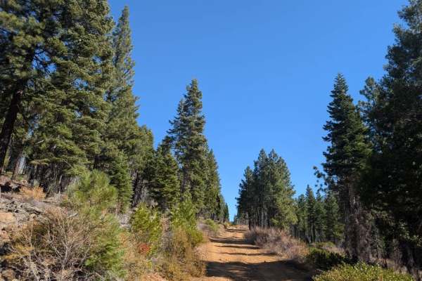
This long trail winds through a mix of high desert scrubland and sparse conifer forest, with rocky outcrops and sections of exposed lava flow. The first section is relatively straightforward, with mostly smooth gravel, gentle ascents and descents, and a few blind corners where caution is advised. One side trail near the beginning is permanently blocked by a rock barrier. Conditions change considerably in the middle section, where the road becomes unmaintained and much rougher. There are approximately six or seven fallen trees to navigate, so bringing a chainsaw is recommended. While some trees can be bypassed, other obstacles include large boulders, off-camber sections, and narrow passages that require careful maneuvering. The final section improves somewhat as it approaches private land, though it remains a narrow two-track with rocky, bumpy stretches and large boulders along and within the trail. Hunters frequently use the area during hunting season, so watch for other traffic. No facilities are available along the trail. ATVs, UTVs, Side-by-Sides, and Dirt Bikes must always have a valid California ATV Operating Permit sticker.
Difficulty
The trail starts on relatively smooth gravel but becomes much rougher, with fallen trees, large boulders, off-camber sections, and narrow passages to navigate.