FS 32N82

Total Miles1.2
Technical Rating
1Easy
Best TimeSpring, Summer, Fall
Trail TypeFull-Width Road
Accessible By
Open Trail Map

Trail Overview

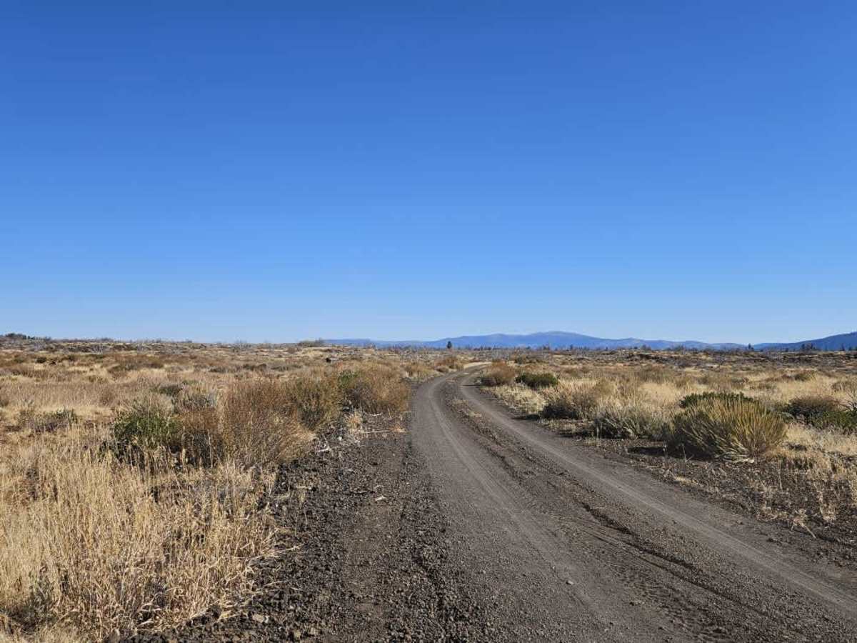
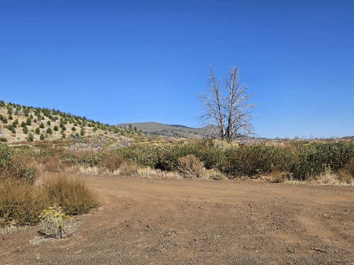
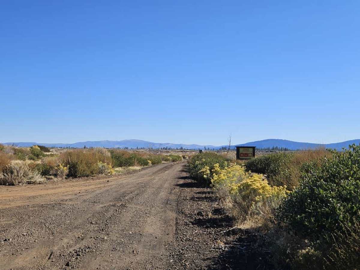
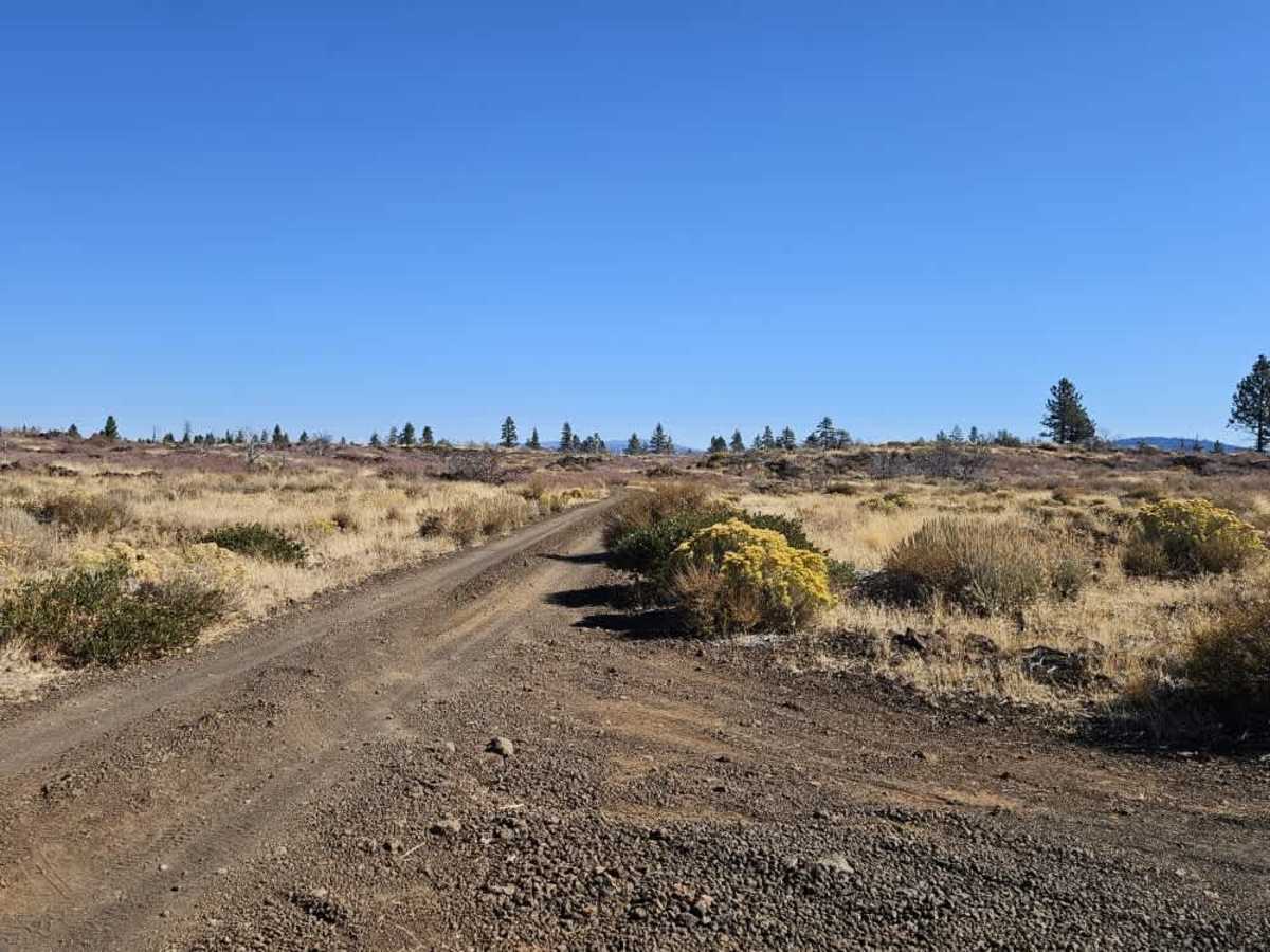
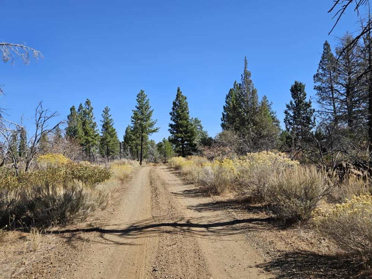
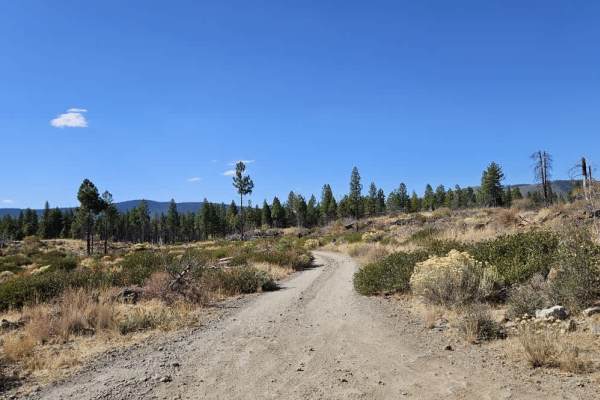
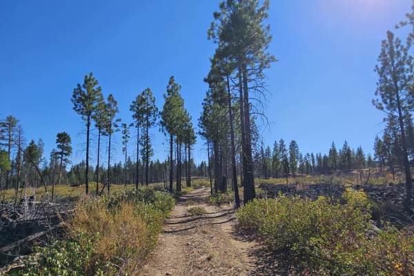
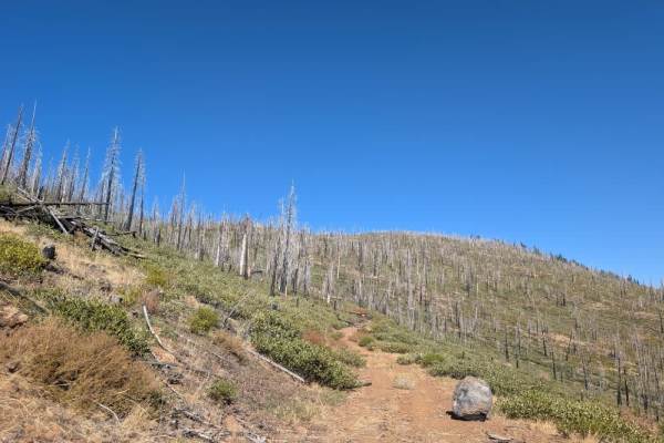
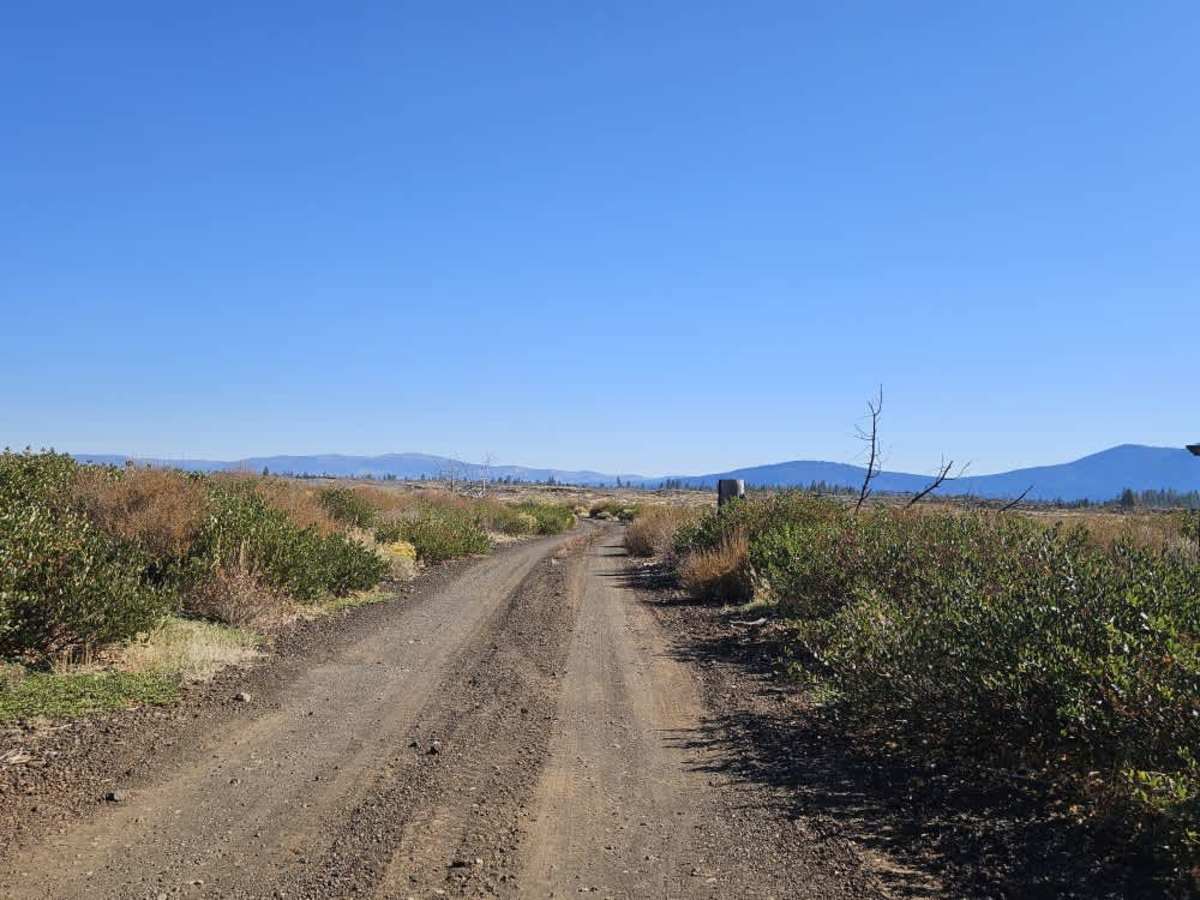
The main 32N79 continues north into rougher terrain, while this route provides one of the smoother connections in the area. It follows a double-track through a mix of forest and high desert scrubland, passing through fire-affected areas where some healthy trees remain standing. The surface is generally in good condition for the area, with relatively smooth sections interrupted by patches of deep sand and occasional rocks. Gentle ascents and descents carry the trail past exposed lava flows as it winds through the landscape. Although a few spots are rougher, it is an enjoyable route compared with some nearby trails. This trail may initially look like a continuation of the same route, but it is actually a separate trail. There are no facilities along this route. ATVs, UTVs, Side-by-Sides, and Dirt Bikes must always have a valid California ATV Operating Permit sticker.

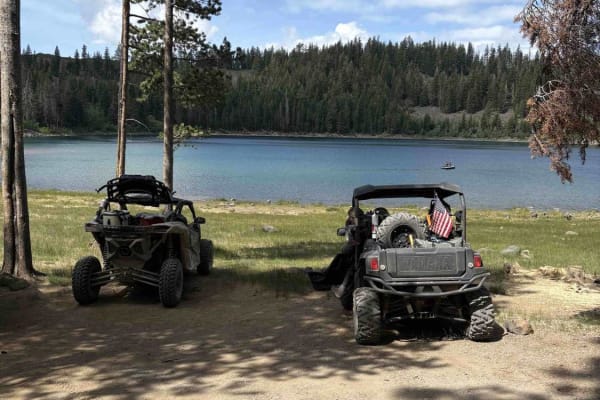
Photos of FS 32N82

Difficulty

The trail is generally smooth, with occasional patches of deep sand and rocks that add some rougher sections.

Technical Rating

1

FS 32N82 Trail can be accessed by the following ride types:

  • Single Track
  • 50 Inch
  • 60 Inch
  • High Clearance
  • Full Width

FS 32N82 Map

The onX Offroad Difference

onX Offroad combines trail photos, descriptions, difficulty ratings, width restrictions, seasonality, and more in a user-friendly interface. Available on all devices, with offline access and full compatibility with CarPlay and Android Auto. Discover what you're missing today!

Open Trail Map