Trail Overview
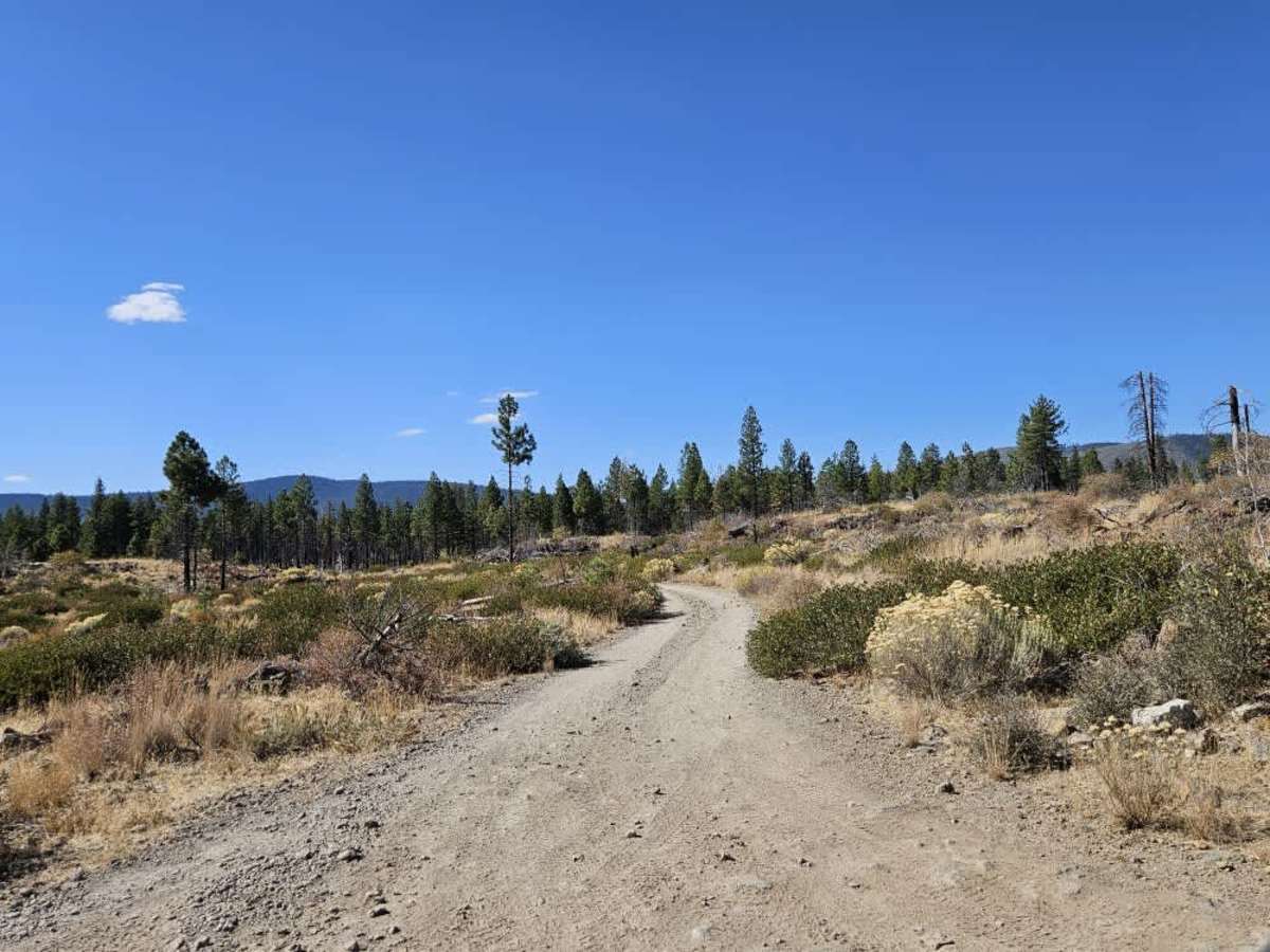
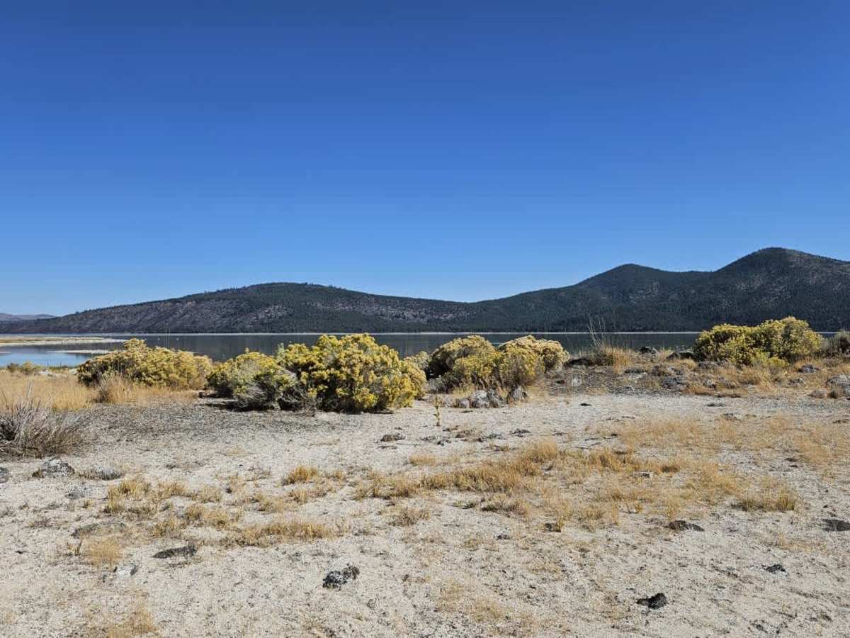
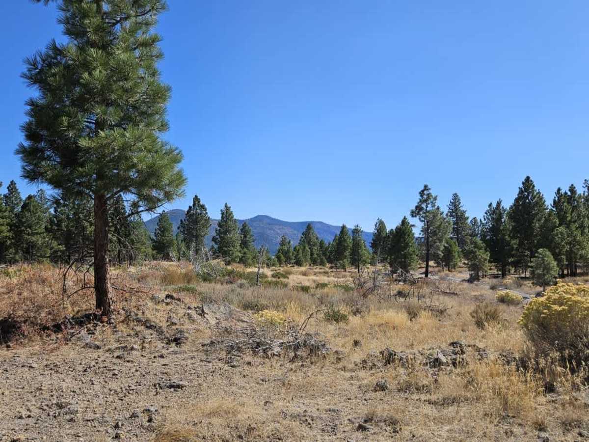
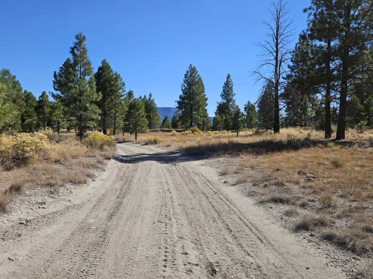
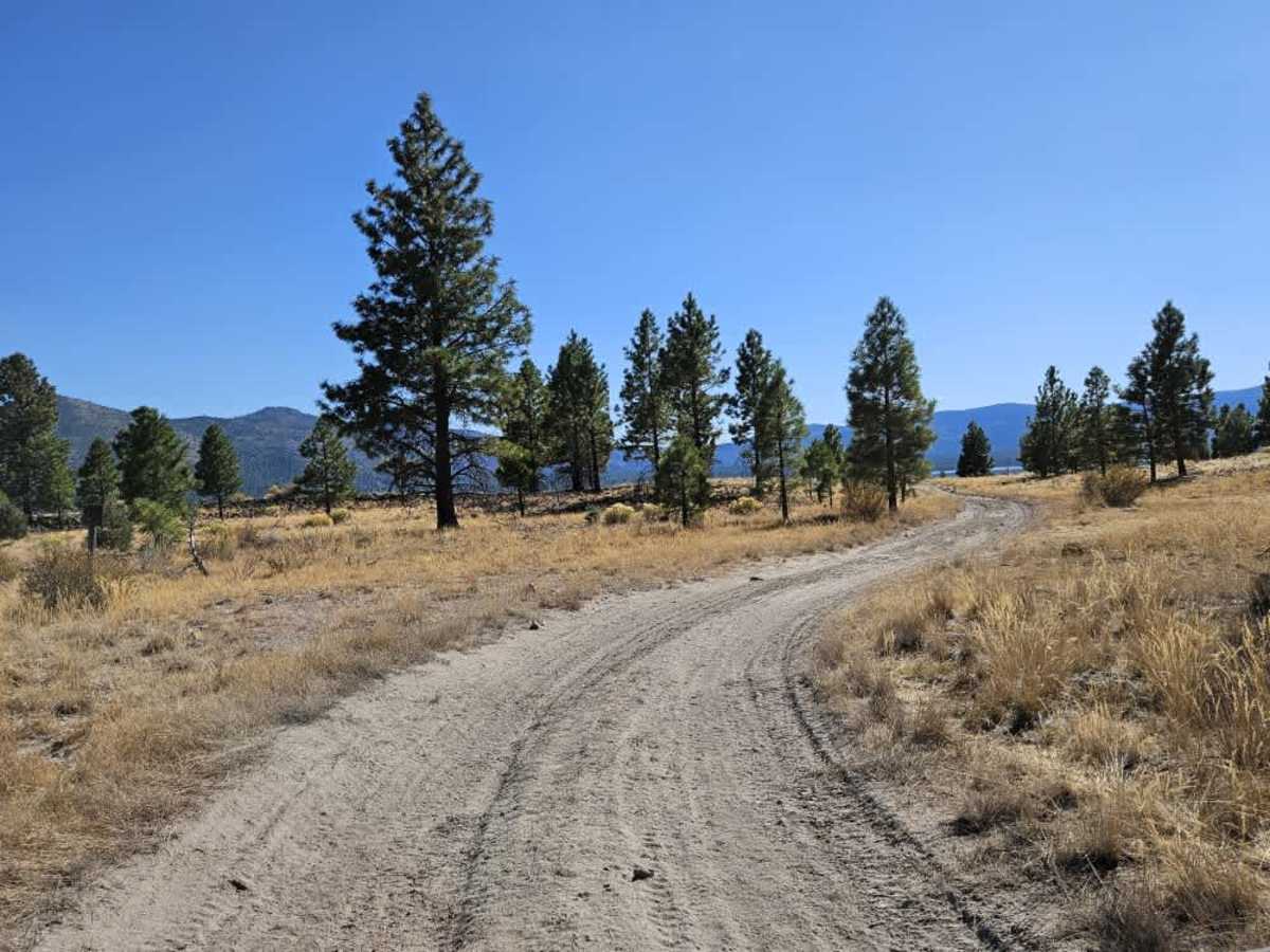
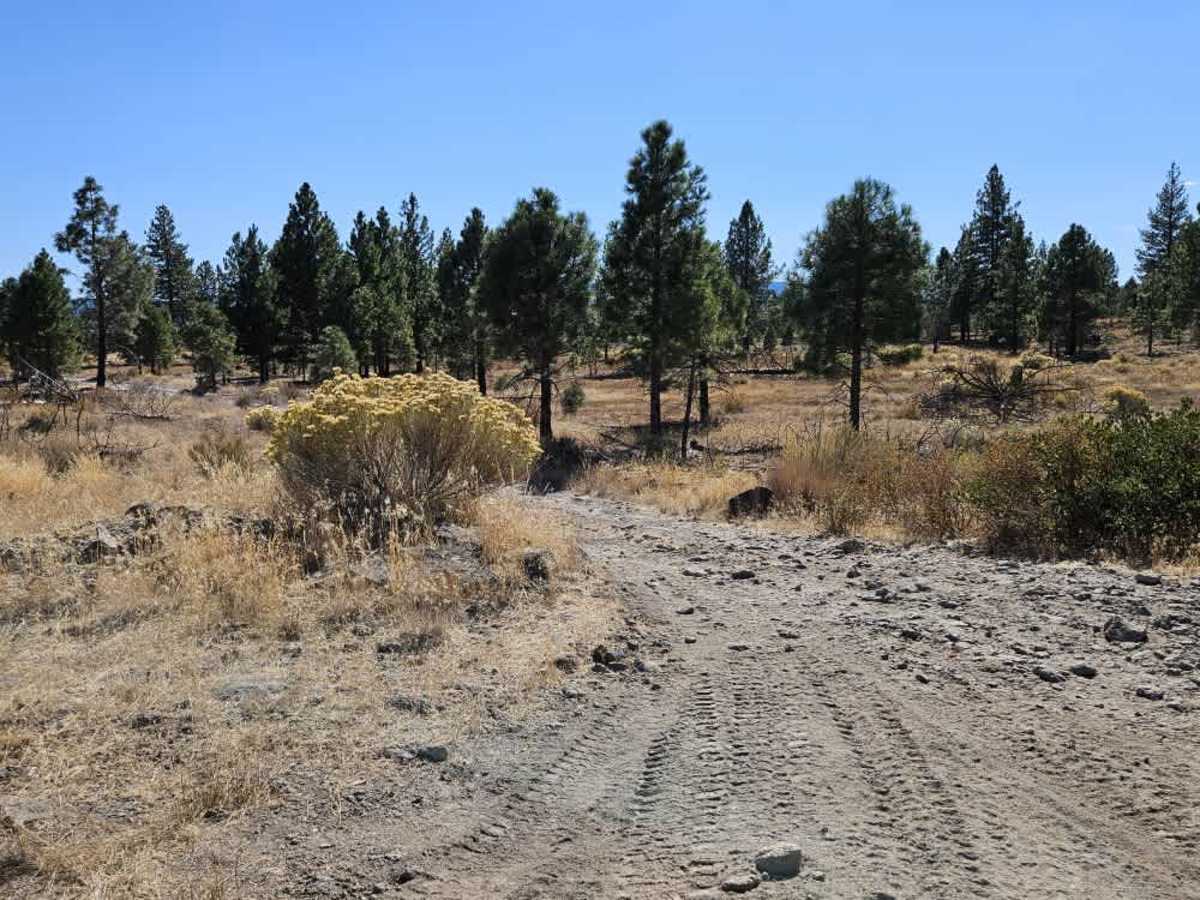
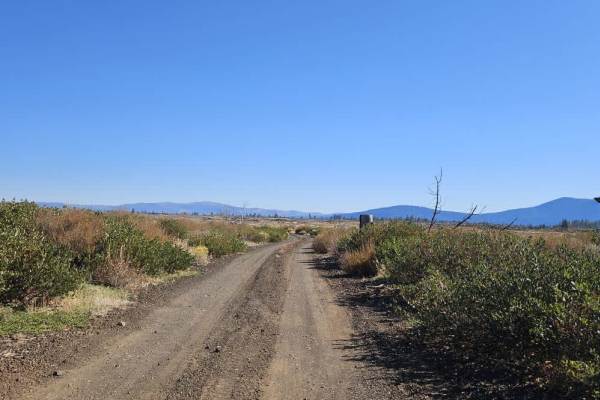
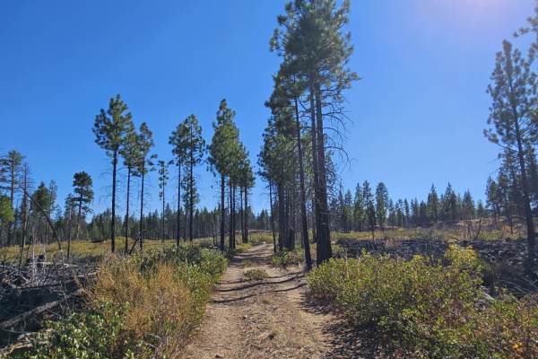
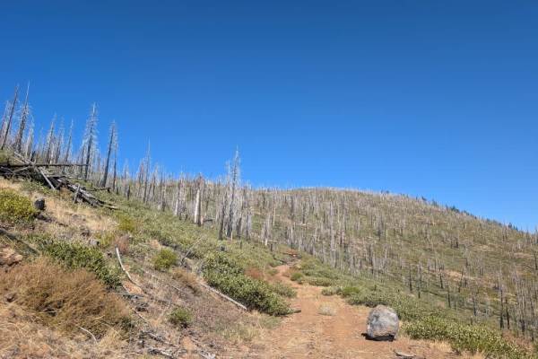
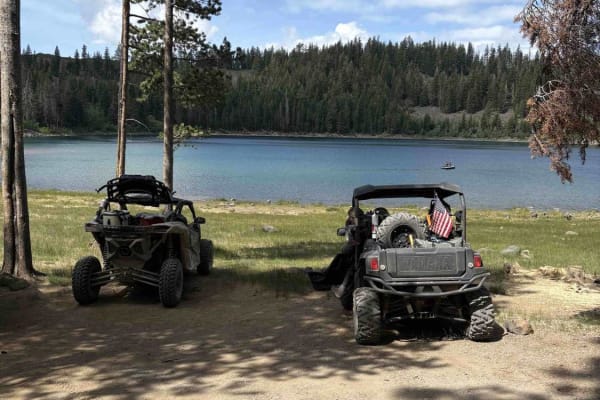
This narrow trail branches off 32N27Y and winds downhill through conifer forest and high-desert brush before reaching the lake. The surface is a mix of loose sand, thick dust, and rocky sections, with rougher terrain toward the end. The deep, sandy stretches may be harder to navigate in wet weather. Along the way, there is a pleasant spot to stop for a picnic, and the route provides access to the lakeshore, where fishing may be an option. Views of the surrounding landscape and a nearby lava flow add interest to the drive. The area may also see hunting activity, so watch for other visitors and local traffic along the route. ATVs, UTVs, Side-by-Sides, and Dirt Bikes must always have a valid California ATV Operating Permit sticker.
Difficulty
The narrow trail has loose sand, thick dust, and rocky sections, with rougher terrain toward the end.