FS 24N61Y

Total Miles1.7
Technical Rating
1Easy
Best TimeSpring, Summer, Fall
Trail TypeFull-Width Road
Accessible By
Open Trail Map

Trail Overview

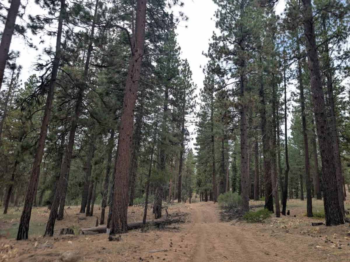
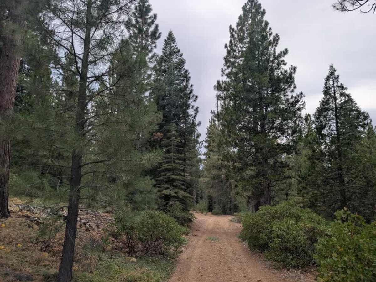
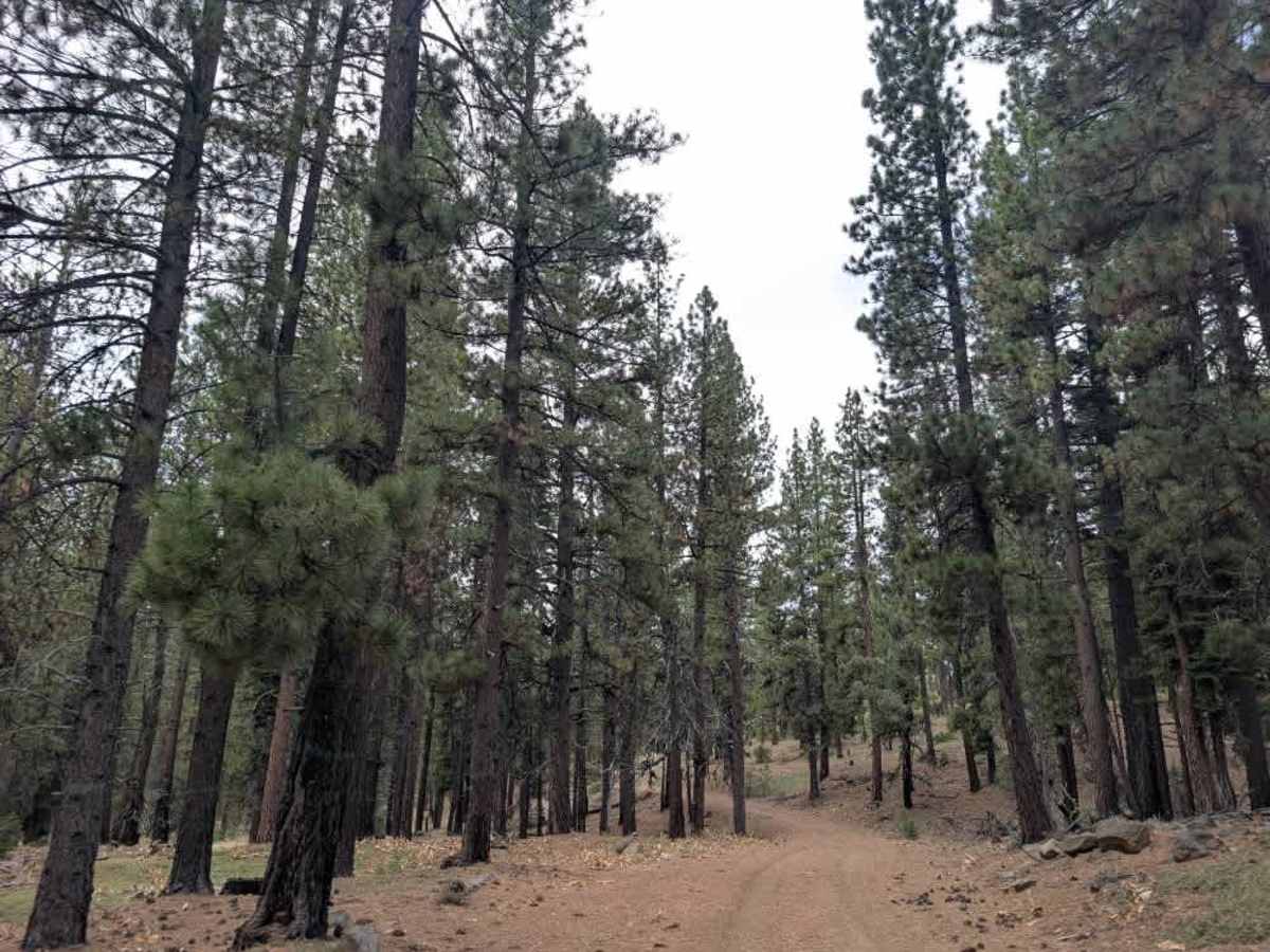
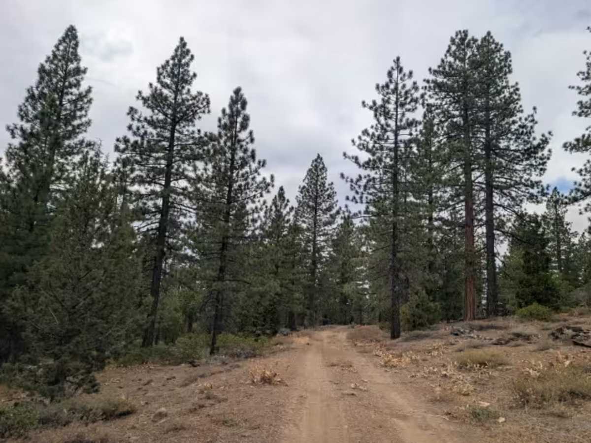
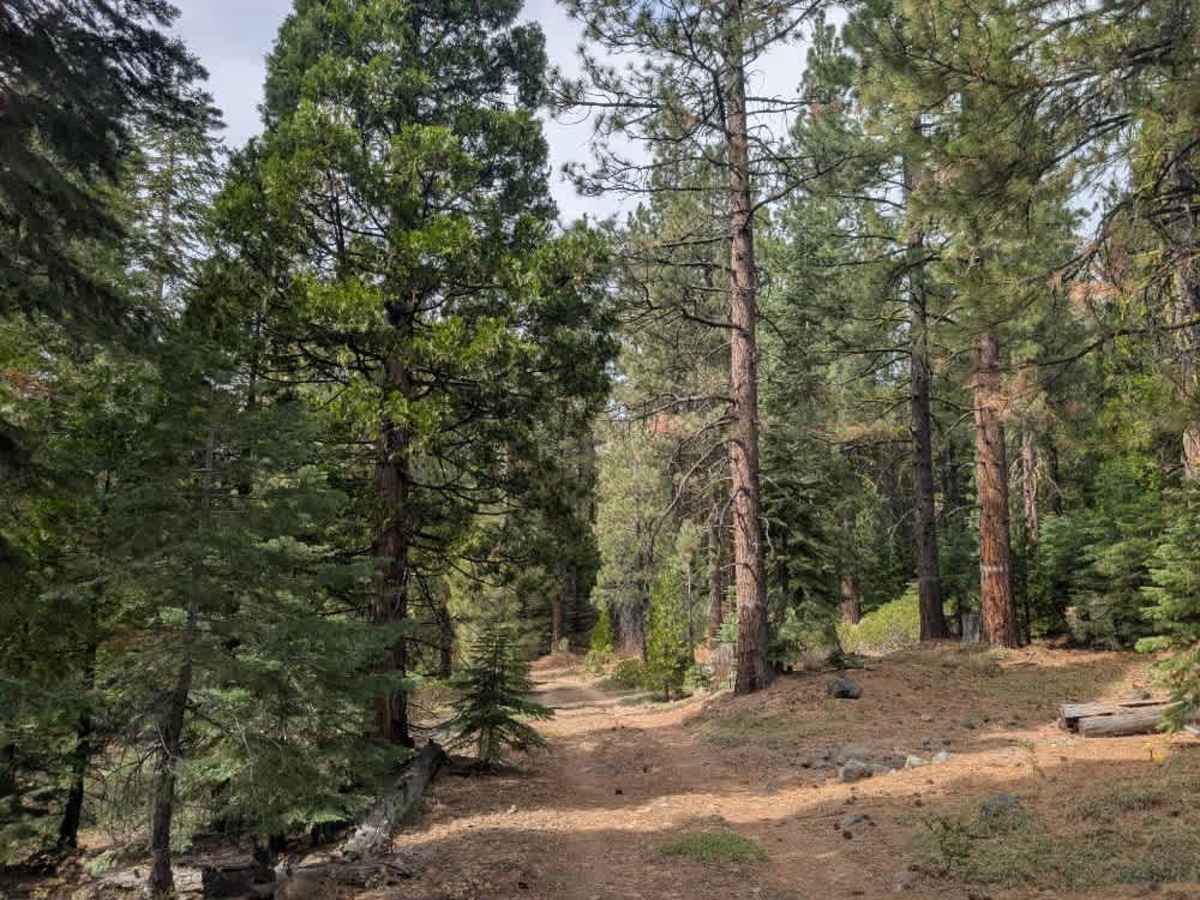
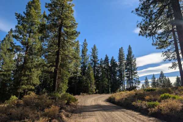
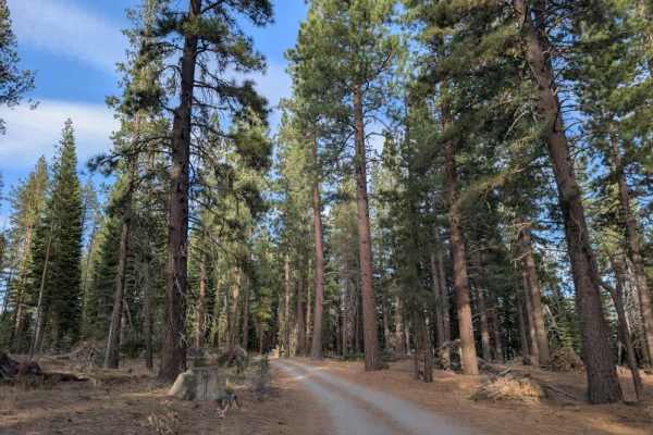
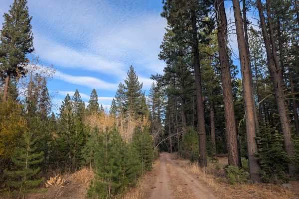
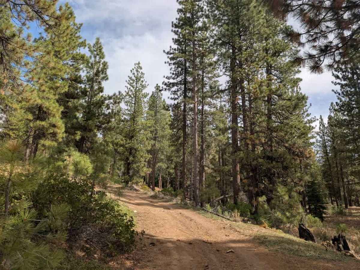
This trail offers some variety, starting with a gradual climb before winding around a bend to a separate trail used for hiking, cycling, and horseback riding. From there, the road continues uphill into the mountains and gets increasingly rocky. The terrain isn’t particularly technical, but the loose, uneven surface can get slippery in wet conditions, so take extra care after rain. Two potential dispersed camping spots line the route. One is a large, open area suitable for a bigger setup, while the other is a smaller pullout alongside the road that may work better for a compact vehicle. At the end of the accessible section, the route continues up a steep, rocky incline that requires a more capable vehicle; this final stretch isn’t suitable for most stock vehicles, though capable high-clearance vehicles, ATVs, and SxSs may be able to continue. ATVs, UTVs, Side-by-Sides, and Dirt Bikes must always have a valid California ATV Operating Permit sticker.

Photos of FS 24N61Y

Difficulty

The trail becomes progressively more difficult as it climbs, with loose rocks and uneven ground along the way.

Technical Rating

1

FS 24N61Y Trail can be accessed by the following ride types:

  • Single Track
  • 50 Inch
  • 60 Inch
  • High Clearance
  • Full Width

FS 24N61Y Map

The onX Offroad Difference

onX Offroad combines trail photos, descriptions, difficulty ratings, width restrictions, seasonality, and more in a user-friendly interface. Available on all devices, with offline access and full compatibility with CarPlay and Android Auto. Discover what you're missing today!

Open Trail Map