FS 24N06

Total Miles3
Technical Rating
1Easy
Best TimeSpring, Summer, Fall
Trail TypeFull-Width Road
Accessible By
Open Trail Map

Trail Overview

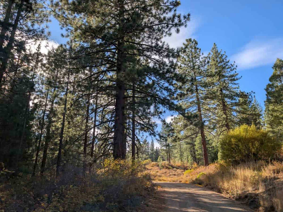
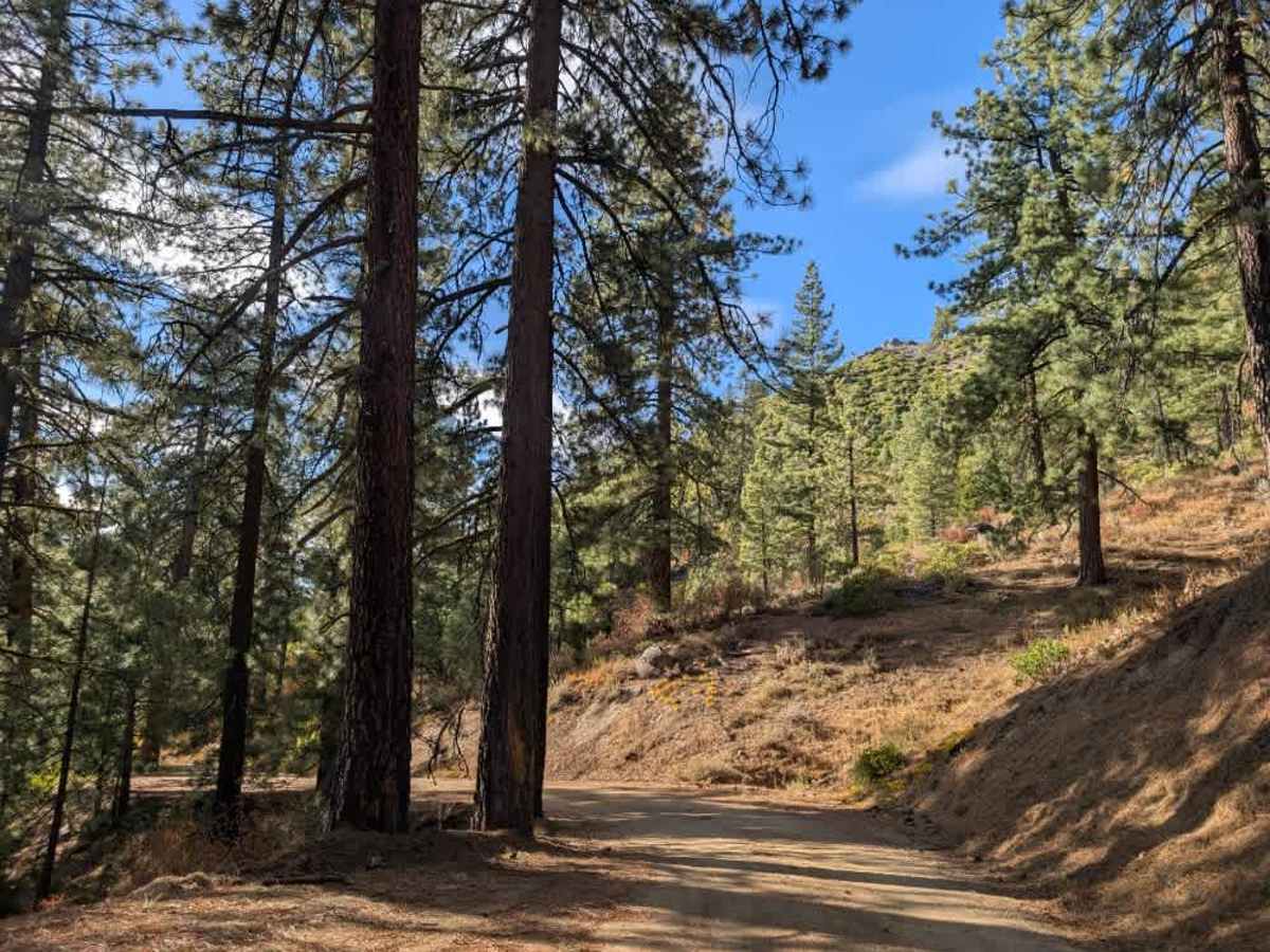
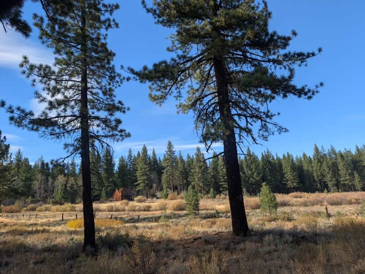
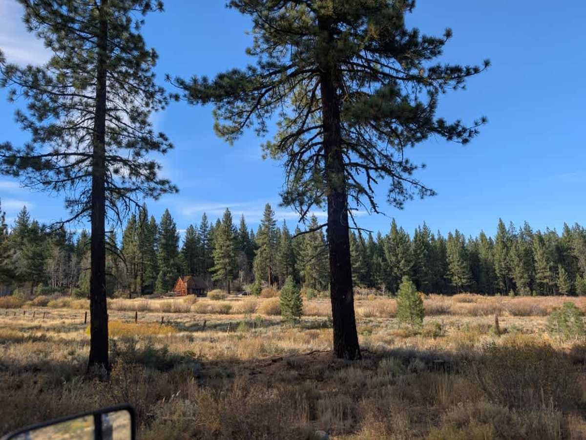
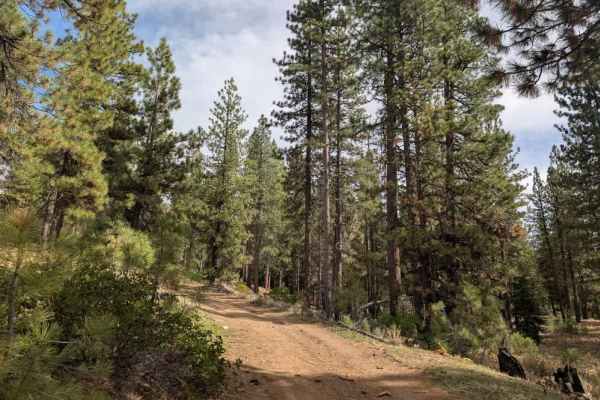
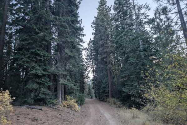
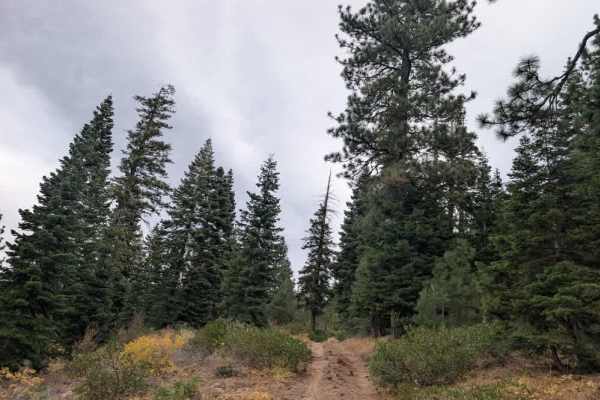
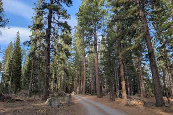
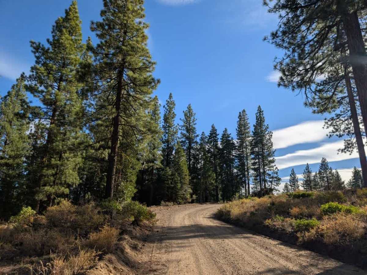
This scenic connector runs between Crocker Campground and the main road; the trail climbs steadily away from Crocker Campground, then winds downhill toward the lake through a series of zigzags. Although the first section can feel a little rough, the surface soon smooths out and becomes well graded and well maintained for most of the drive. As a connecting road between two established areas of Plumas National Forest, this trail sees regular traffic, so watch for oncoming vehicles, especially around bends. A couple of places along the route offer dispersed camping, including one particularly beautiful site with excellent views and enough space for a group. ATVs, UTVs, Side-by-Sides, and Dirt Bikes must always have a valid California ATV Operating Permit sticker.

Photos of FS 24N06

Difficulty

The trail is generally easy, with a slightly rough start before the surface smooths out.

Technical Rating

1

FS 24N06 Trail can be accessed by the following ride types:

  • High Clearance
  • Full Width

FS 24N06 Map

The onX Offroad Difference

onX Offroad combines trail photos, descriptions, difficulty ratings, width restrictions, seasonality, and more in a user-friendly interface. Available on all devices, with offline access and full compatibility with CarPlay and Android Auto. Discover what you're missing today!

Open Trail Map