FS 24N53Y

Total Miles1.6
Technical Rating
2Easy
Best TimeSpring, Summer, Fall
Trail TypeFull-Width Road
Accessible By
Open Trail Map

Trail Overview

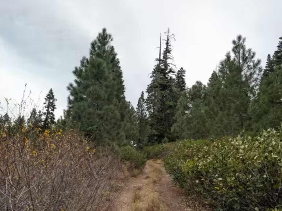
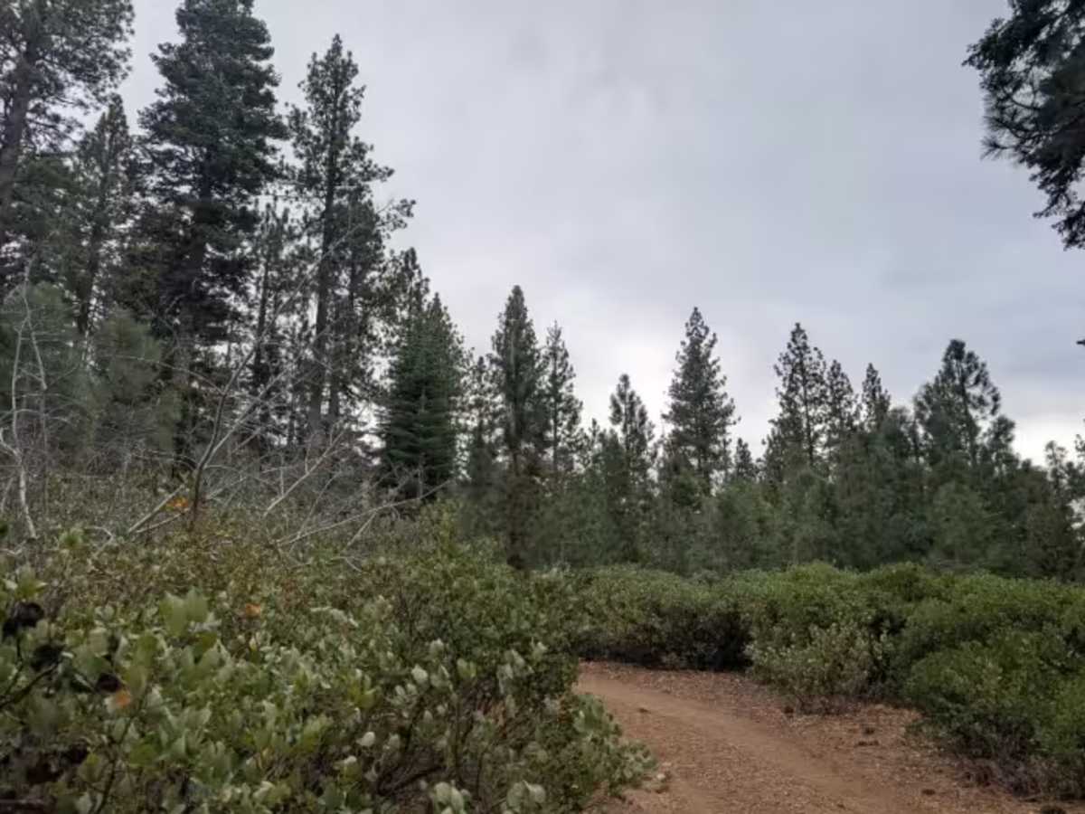
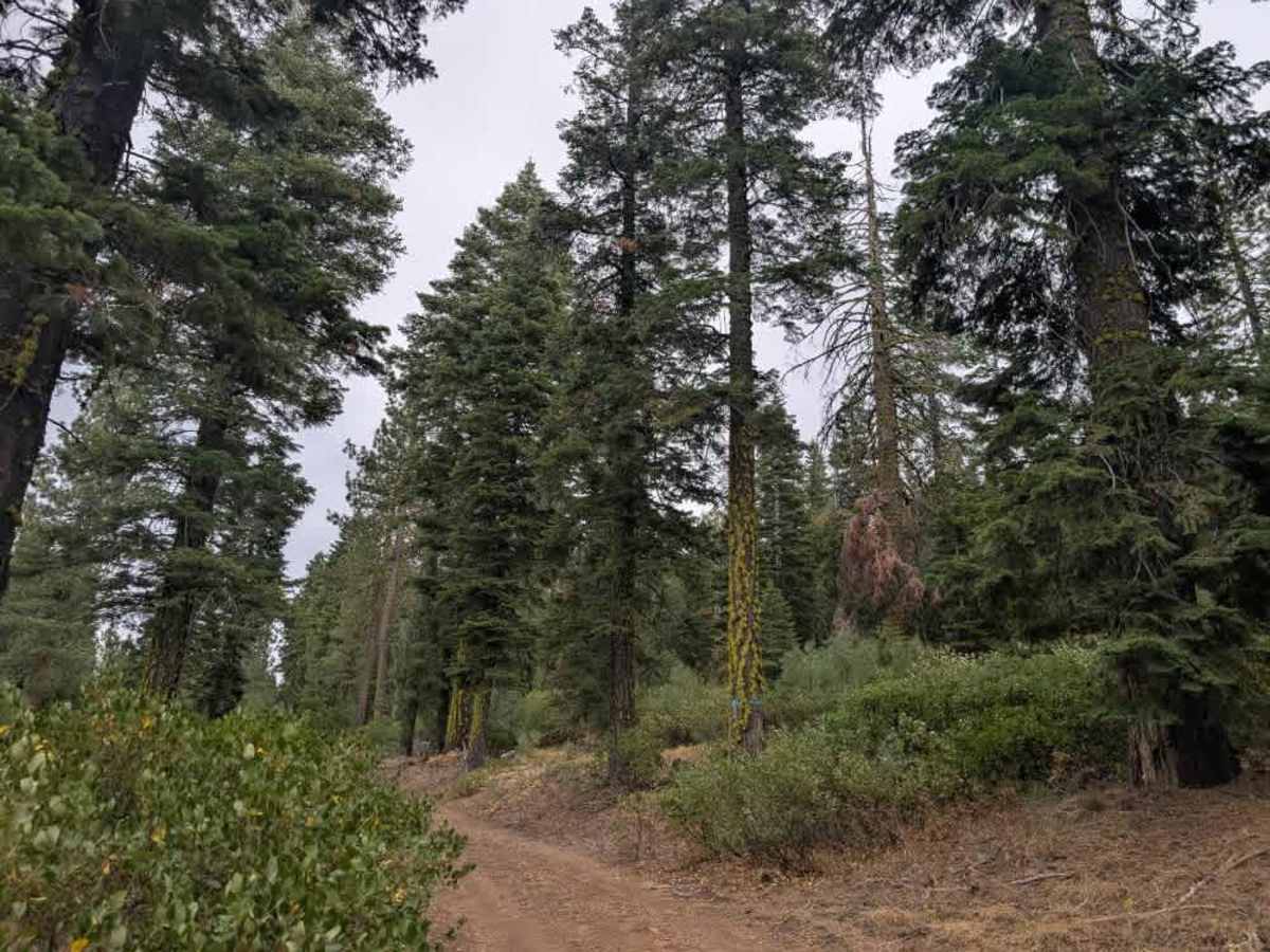
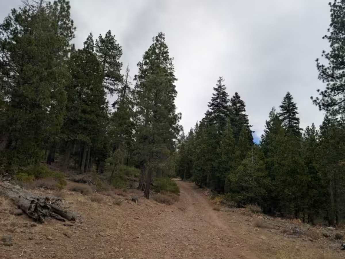
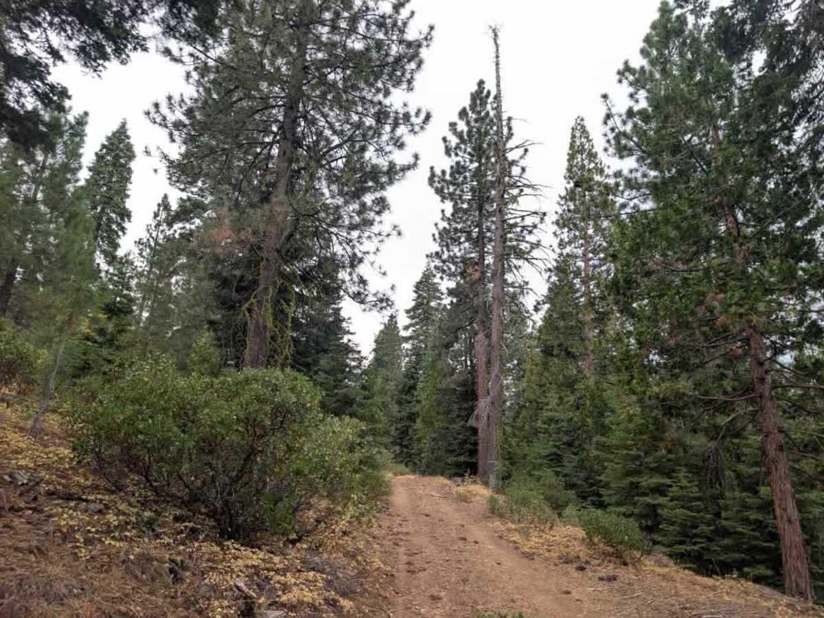
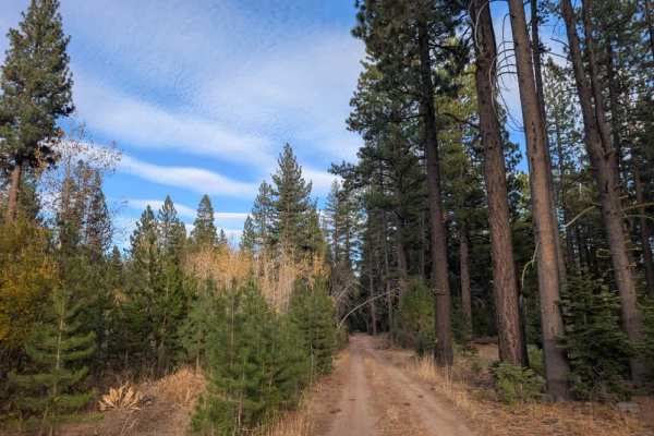
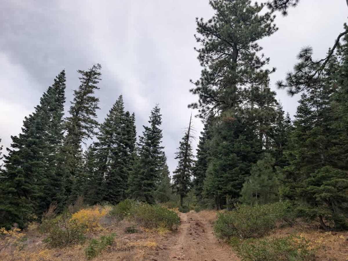
Starting from the main road, this trail looks easygoing at first but gradually becomes more challenging as it climbs into the hills. Near the entrance, a junction branches off to the right, where you’ll find a dispersed camping spot just off the trail. As you continue along the main route, the terrain gets increasingly demanding, with sustained climbs and rocky sections that require careful tire placement. Some stretches are relatively straightforward, while others involve climbing over larger rocks, though the trail doesn’t quite reach the level of dedicated rock crawling. This route isn’t recommended for sedans or stock vehicles without suitable off-road capability. Watch for sharp rocks that could damage tires, and expect pinstriping as the trail narrows between vegetation. The climb eventually winds its way to a beautiful viewpoint overlooking the valley, making the challenging drive worthwhile for those with a suitably equipped vehicle. ATVs, UTVs, Side-by-Sides, and Dirt Bikes must always have a valid California ATV Operating Permit sticker.

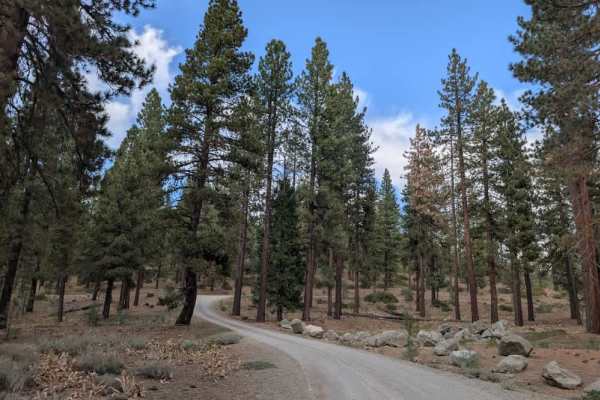
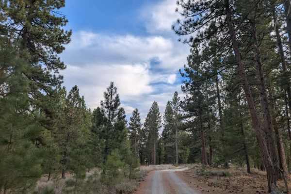
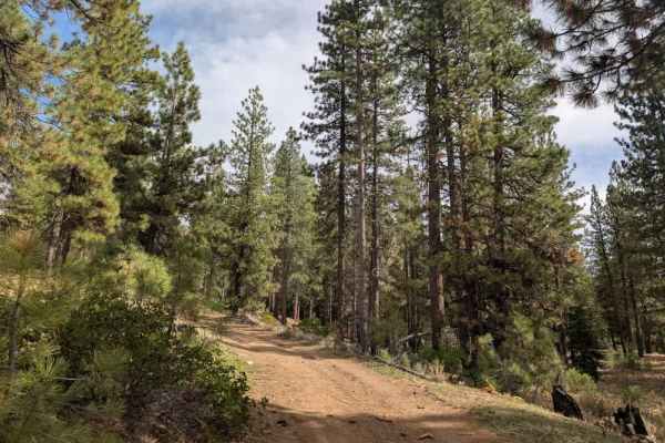
Photos of FS 24N53Y

Difficulty

The trail becomes increasingly challenging with sustained climbs and rocky sections that require careful tire placement.

Technical Rating

2

FS 24N53Y Trail can be accessed by the following ride types:

  • Single Track
  • 50 Inch
  • 60 Inch
  • High Clearance
  • Full Width

FS 24N53Y Map

The onX Offroad Difference

onX Offroad combines trail photos, descriptions, difficulty ratings, width restrictions, seasonality, and more in a user-friendly interface. Available on all devices, with offline access and full compatibility with CarPlay and Android Auto. Discover what you're missing today!

Open Trail Map