FS 24N10

Total Miles6
Technical Rating
1Easy
Best TimeSpring, Summer, Fall
Trail TypeFull-Width Road
Accessible By
Open Trail Map

Trail Overview

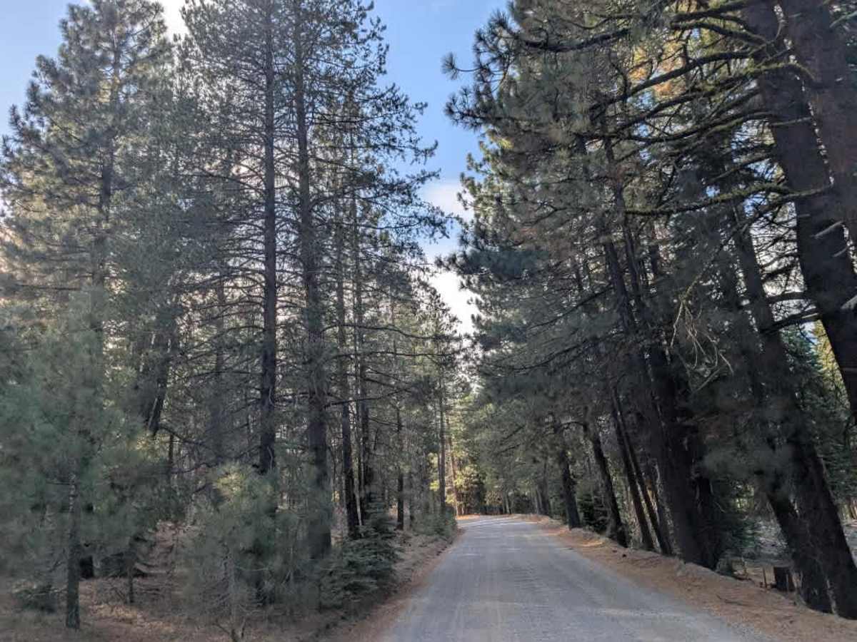
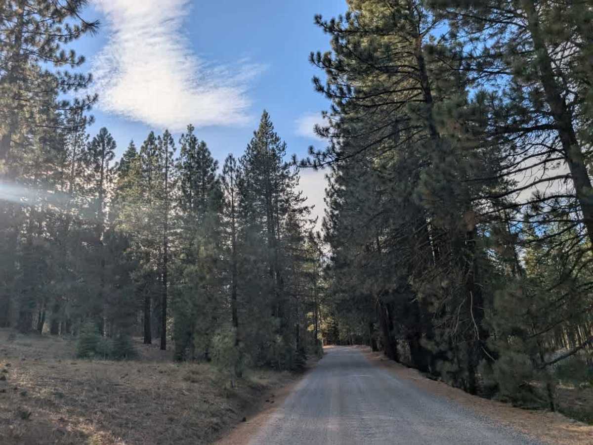
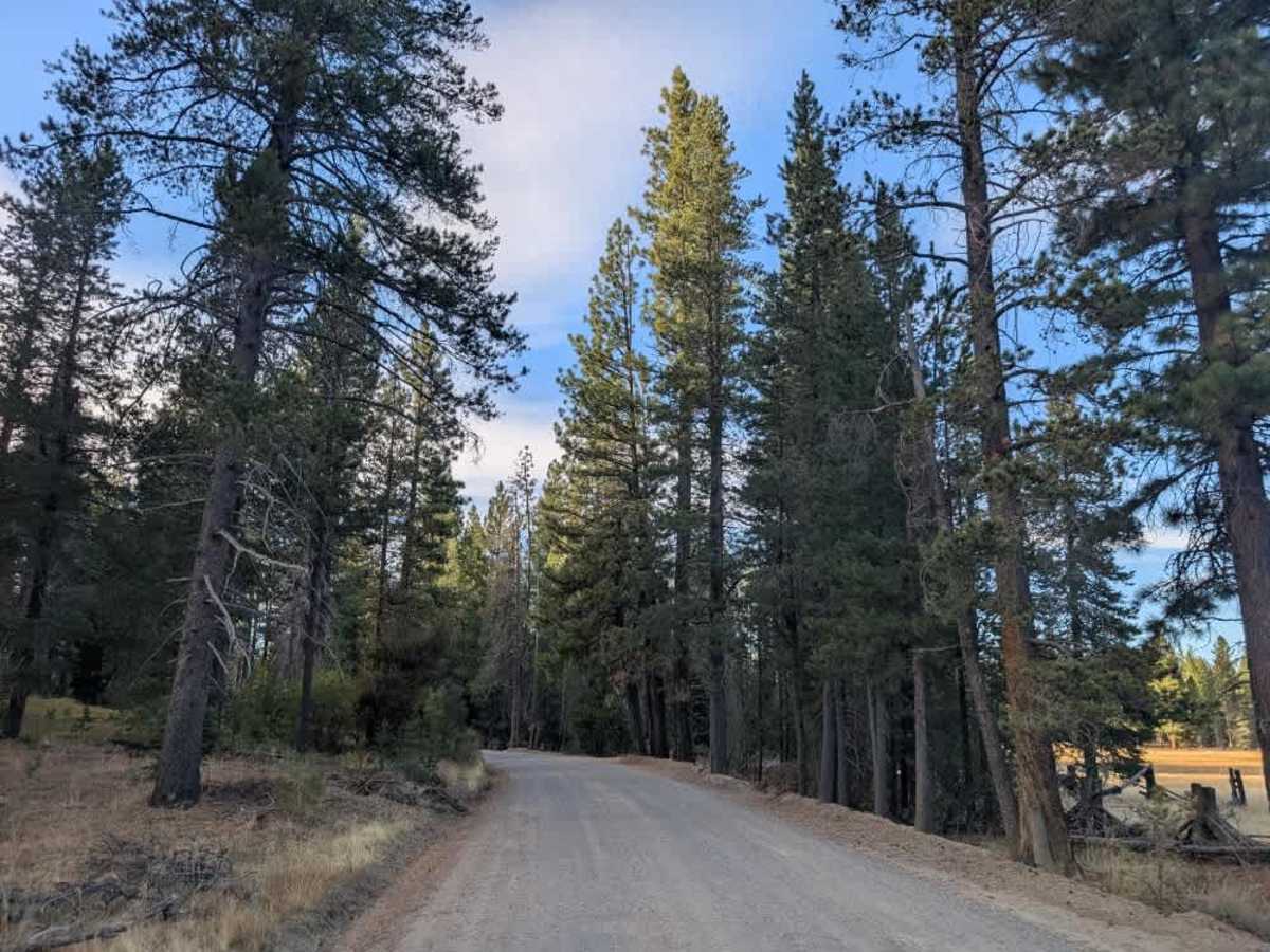
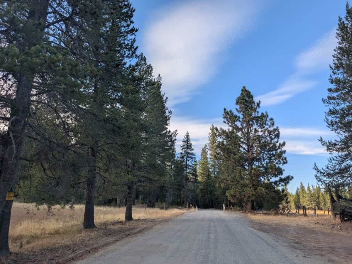
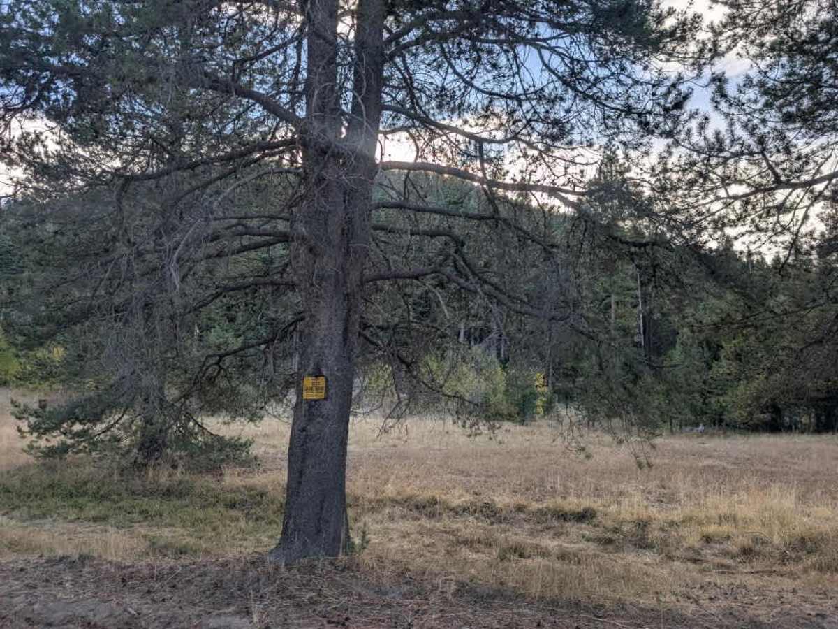
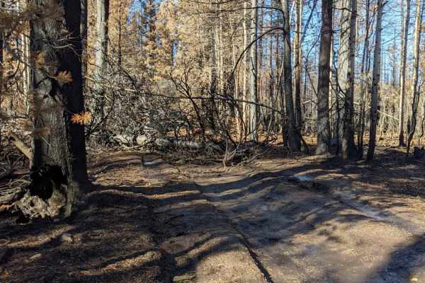
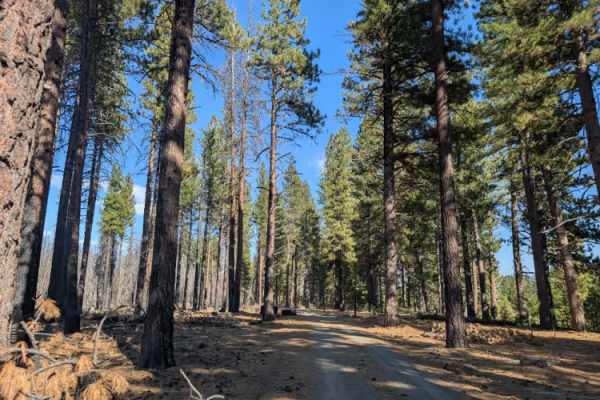
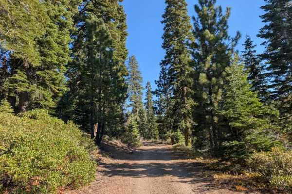
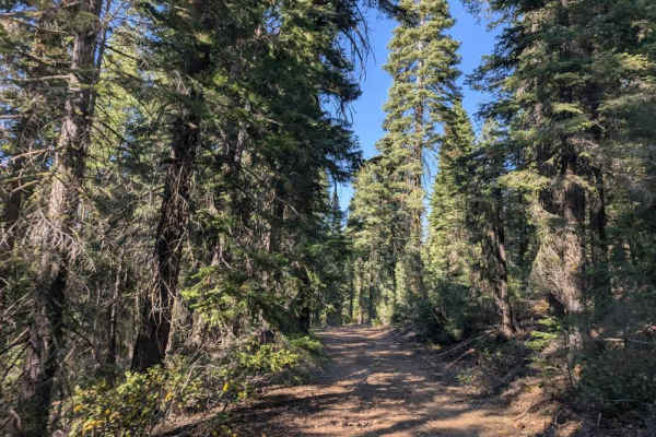
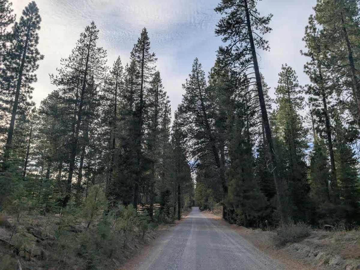
This well-maintained road follows the beautiful shoreline area around Lake Davis, providing access to several fishing spots, boat access areas, and other nearby recreation sites. The surrounding landscape is particularly lovely in fall, when the fall colors brighten the route. Keep an eye out for the abundant birdlife along the way, especially near the lake and surrounding vegetation. Several side roads branch off the main route, but many are designated for day use only, with no camping permitted. Off-road travel is prohibited on the designated roads and trails, and visitors must pack out all their garbage. If approaching from the south, be aware that much of the land on the left side of the road lies within a state game refuge, where hunting, shooting, and firearms are prohibited. Follow posted restrictions and respect the protected areas along the way. ATVs, UTVs, Side-by-Sides, and Dirt Bikes must always have a valid California ATV Operating Permit sticker.

Photos of FS 24N10

Difficulty

The well-maintained road and smooth surface make this an easy and straightforward trail.

Technical Rating

1

FS 24N10 Trail can be accessed by the following ride types:

  • High Clearance
  • Full Width

FS 24N10 Map

The onX Offroad Difference

onX Offroad combines trail photos, descriptions, difficulty ratings, width restrictions, seasonality, and more in a user-friendly interface. Available on all devices, with offline access and full compatibility with CarPlay and Android Auto. Discover what you're missing today!

Open Trail Map