Trail Overview
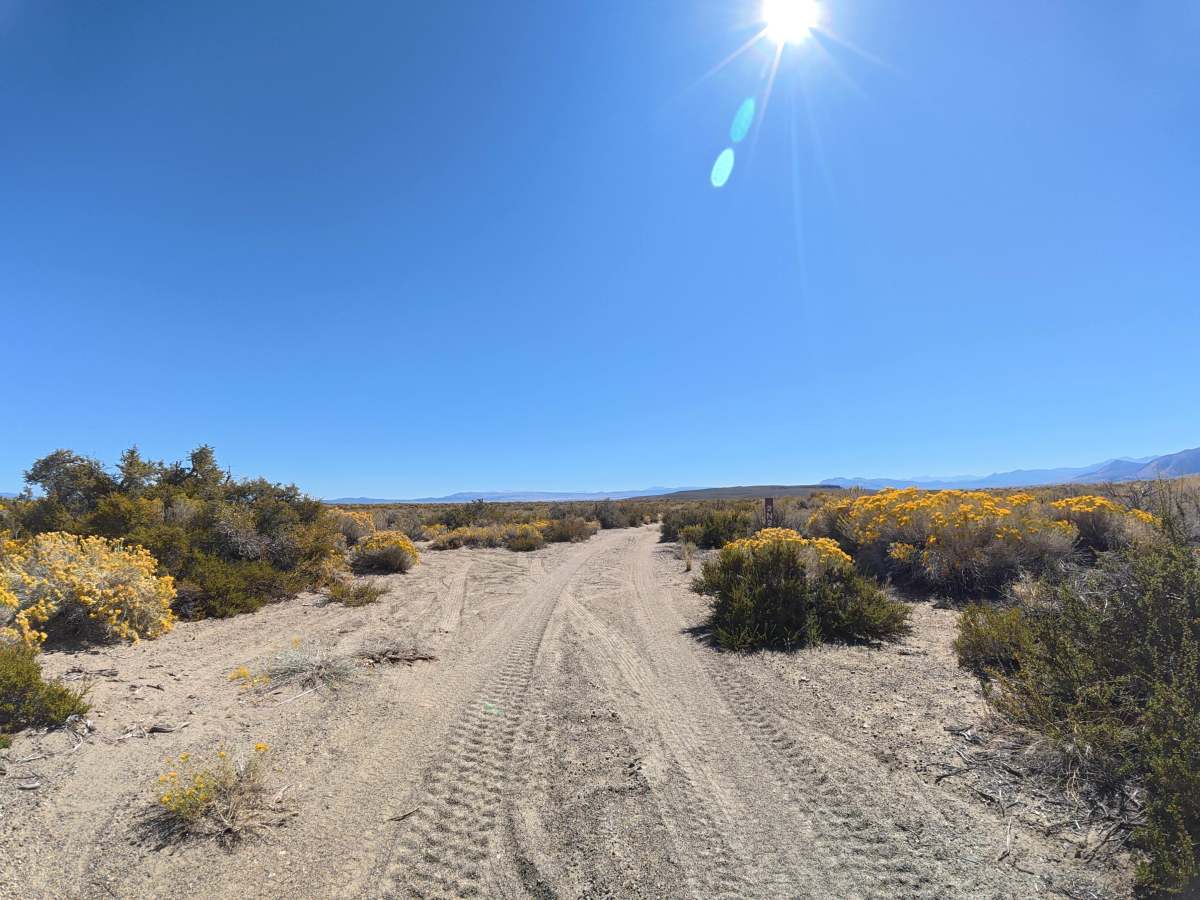
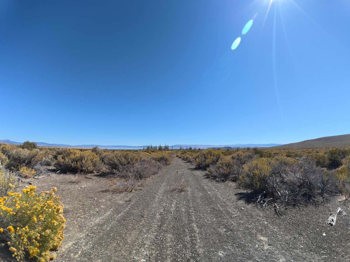
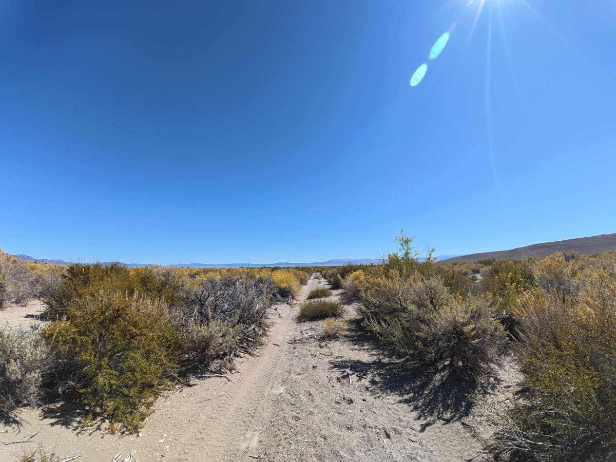
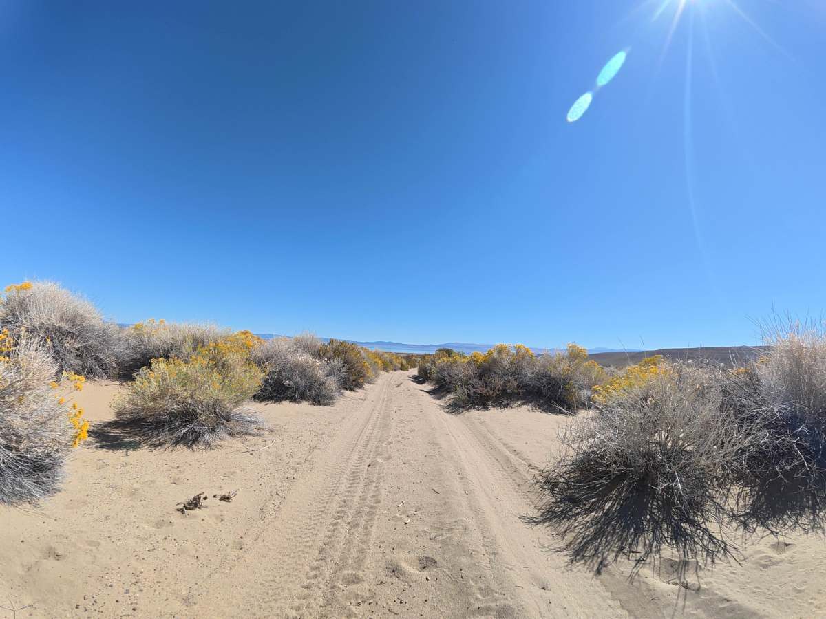
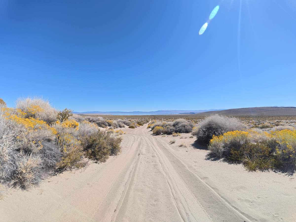
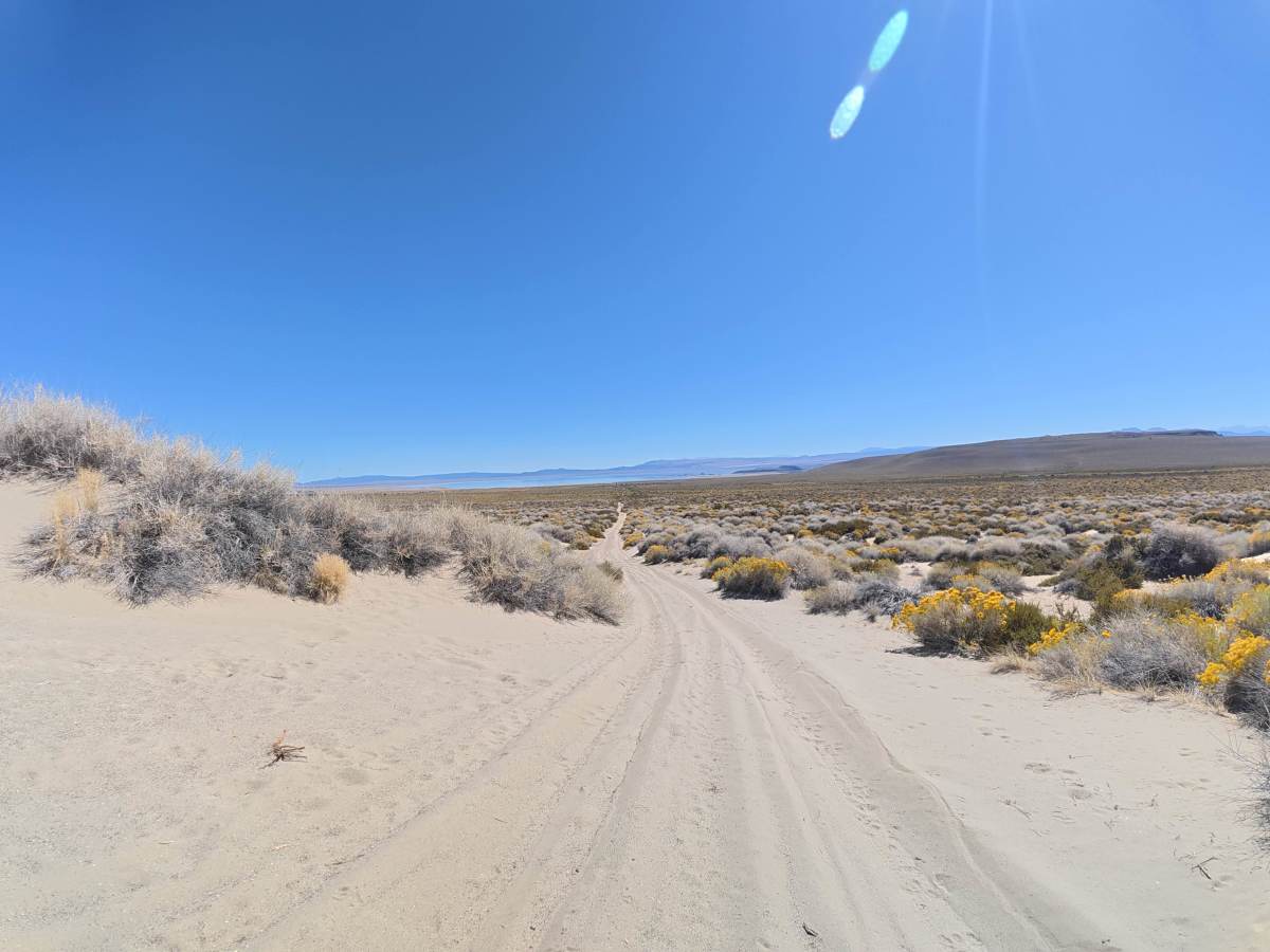
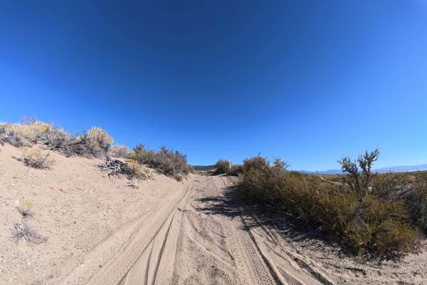
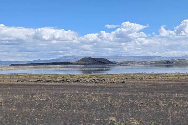
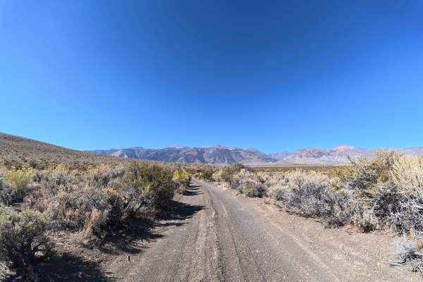
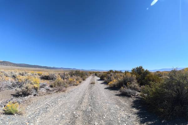
This narrow trail branches directly from the main paved highway, and the entrance can be difficult to spot, so use caution when exiting the highway. The route travels toward Dechambeau Ranch over very fine sand, with initial ruts around 2–3 inches deep and scenic views of Mono Lake and the surrounding mountains. Heavy overgrown vegetation makes pinstriping unavoidable. Around 0.4 miles, the terrain becomes extremely soft and dune-like while descending a steep hill. 4WD or AWD is required, and climbing back up this section in the opposite direction may be extremely difficult. The route provides access toward the rear of the historic Dechambeau Ranch property.
Difficulty
This trail is rated Level 3 because of the steep descent and extremely soft, dune-like sand. 4WD or AWD is required, and returning up the same hill may be extremely difficult.