Trail Overview
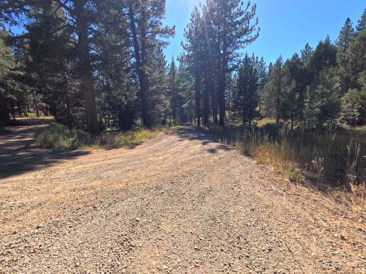
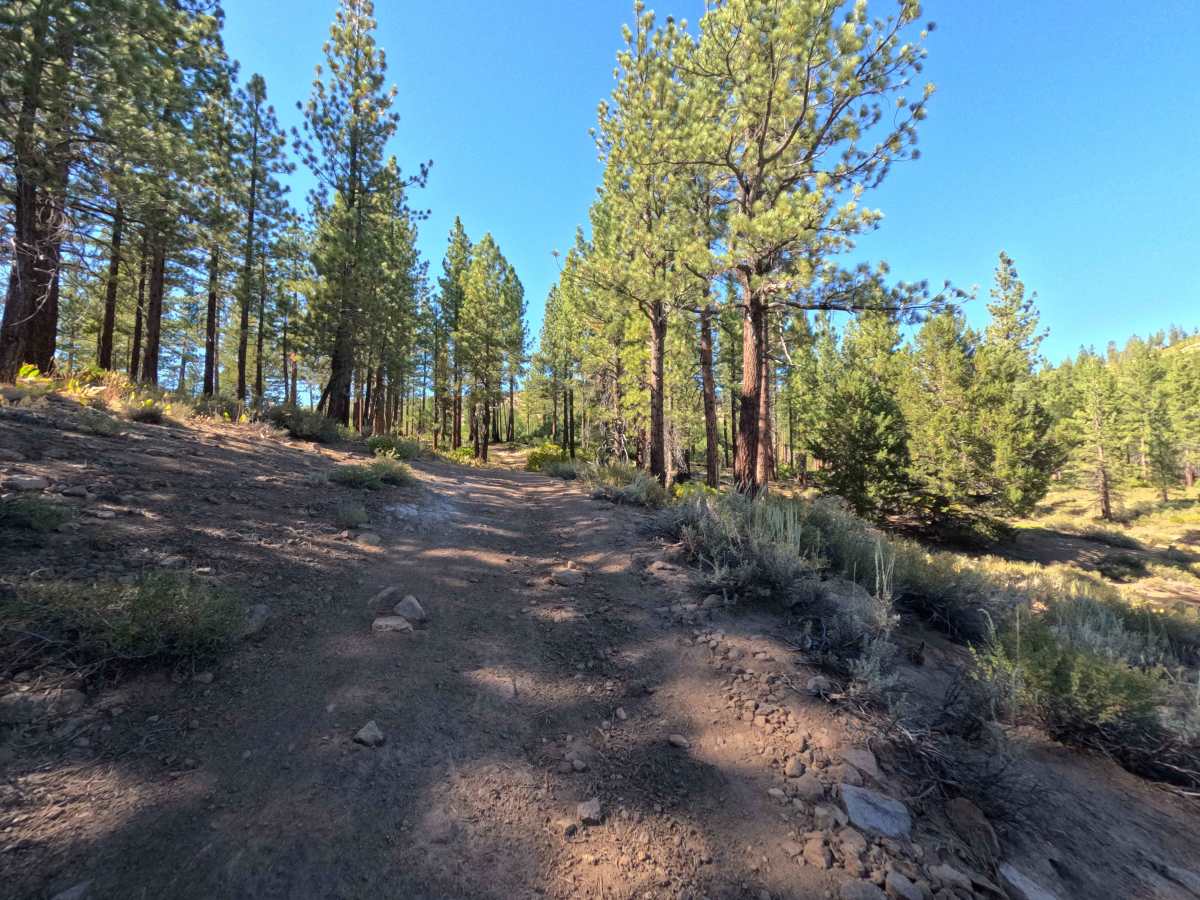
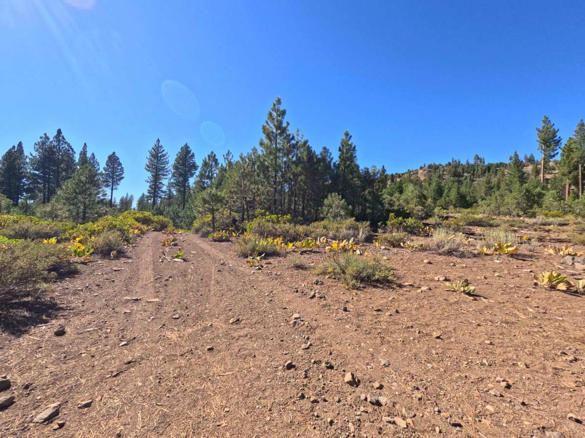
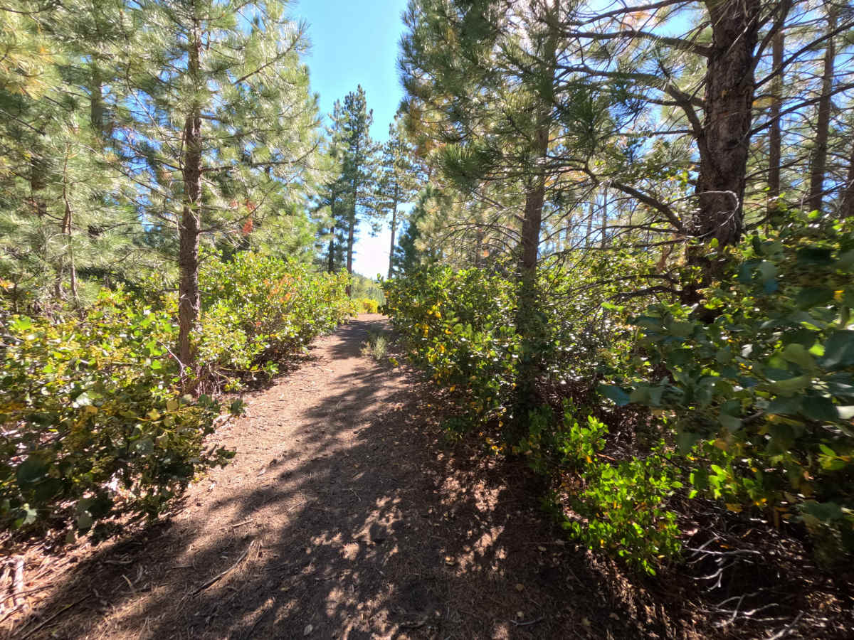
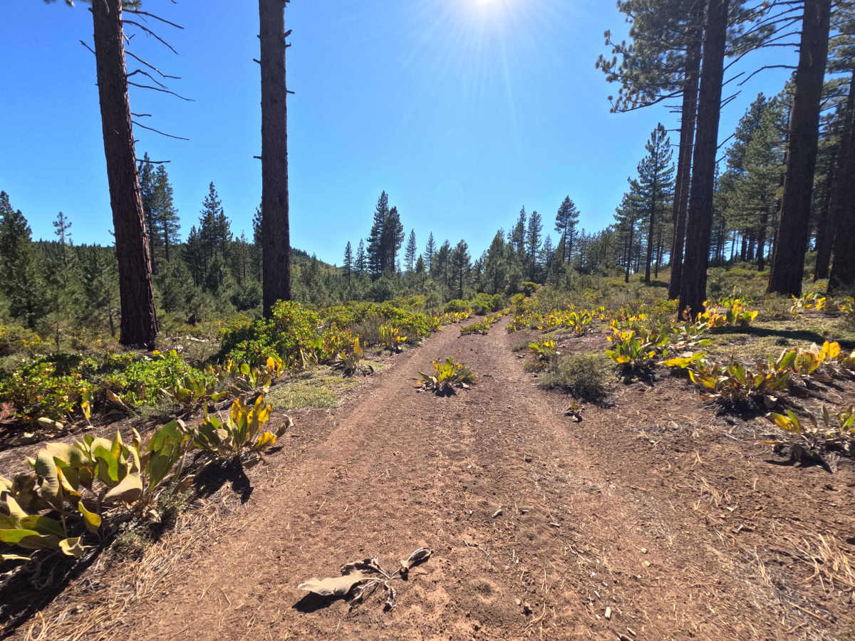
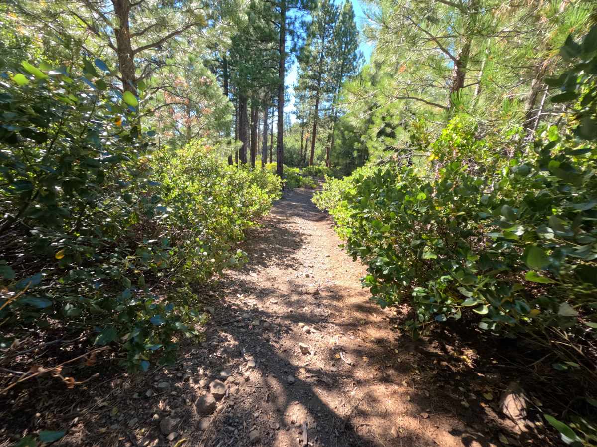
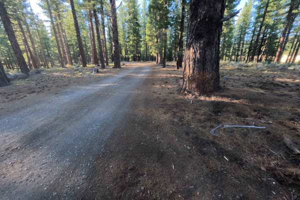
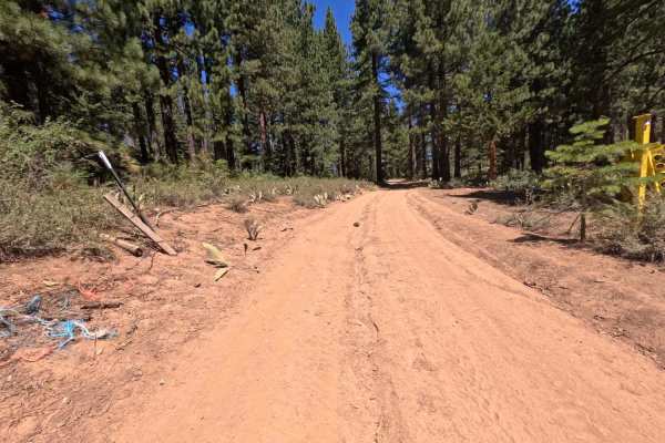
Set within a pine forest featuring rolling sagebrush hillsides and expansive mountain vistas in the Tahoe National Forest, Cottonwood Creek - FS 0089-060 offers a scenic backcountry passage. Accessible directly off Highway 89 or via Cottonwood Road, this 5.0-mile single-lane connector road links key forest arterial routes and provides direct access to the established Cottonwood Creek Campground. Recreationists and campers travel this path to reach several secluded primitive campsites, take in sweeping hillside vistas, or traverse between regional forest tracks. The driving surface consists of a narrow, bumpy dirt-and-gravel track dotted with loose stones, embedded rocks, and overgrown brush, earning an accessible Grade 2 difficulty rating. Starting from Cottonwood Road, the route crosses an early-season stream before passing initial shaded campsites at 0.1 miles and 0.2 miles. Around 0.4 miles, a brief descent through thick vegetation presents brush-contact stretches. By 0.7 miles, the tree canopy opens up to reveal sprawling, panoramic hillside vistas that accompany the drive for a considerable distance. The track grows narrower as it climbs across rocky terrain, offering minimal turnout space. Further along, additional primitive campsites appear at 3.9 miles, 4.3 miles, and 4.5 miles before the trail completes its 5.0-mile run at Highway 89 adjacent to Cottonwood Creek Campground.
Difficulty
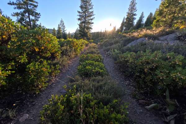
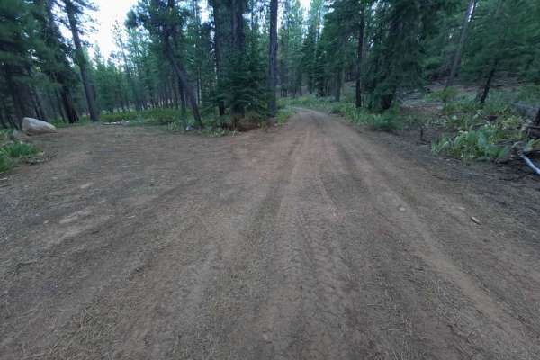
Earning an accessible Grade 2 difficulty rating, this 5.0-mile connector presents a bumpy dirt base marked by scattered rocks and tight side clearance. As seen in the photos, key non-technical hazards include an early-season shallow creek crossing, loose surface cobbles along mild inclines, and encroaching roadside shrubs that create paint-scratching squeezes. The corridor is narrow with scarce turnout locations for passing oncoming traffic. Drivers should keep speeds moderate, pick clean lines around protruding rocks, proceed carefully through brushy stretches, and yield at narrow points along the route.