Trail Overview
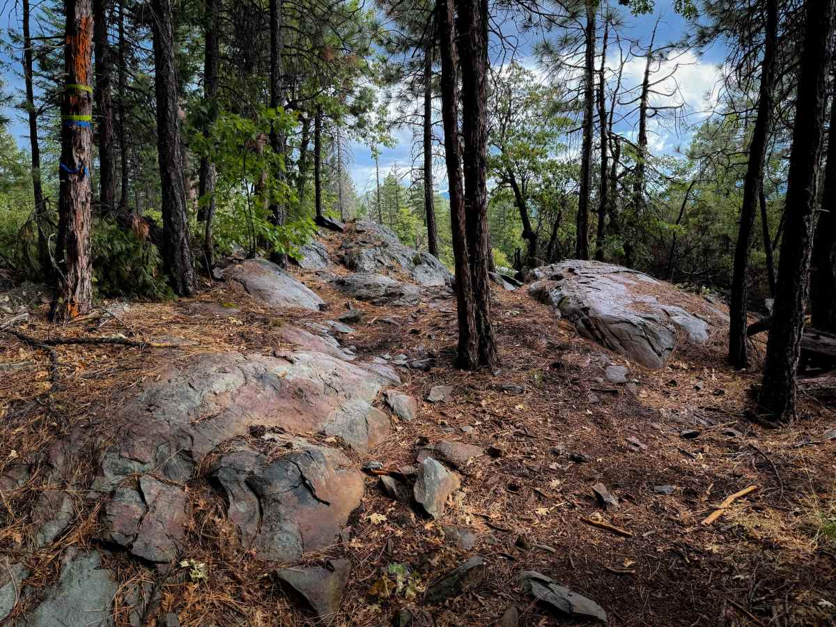
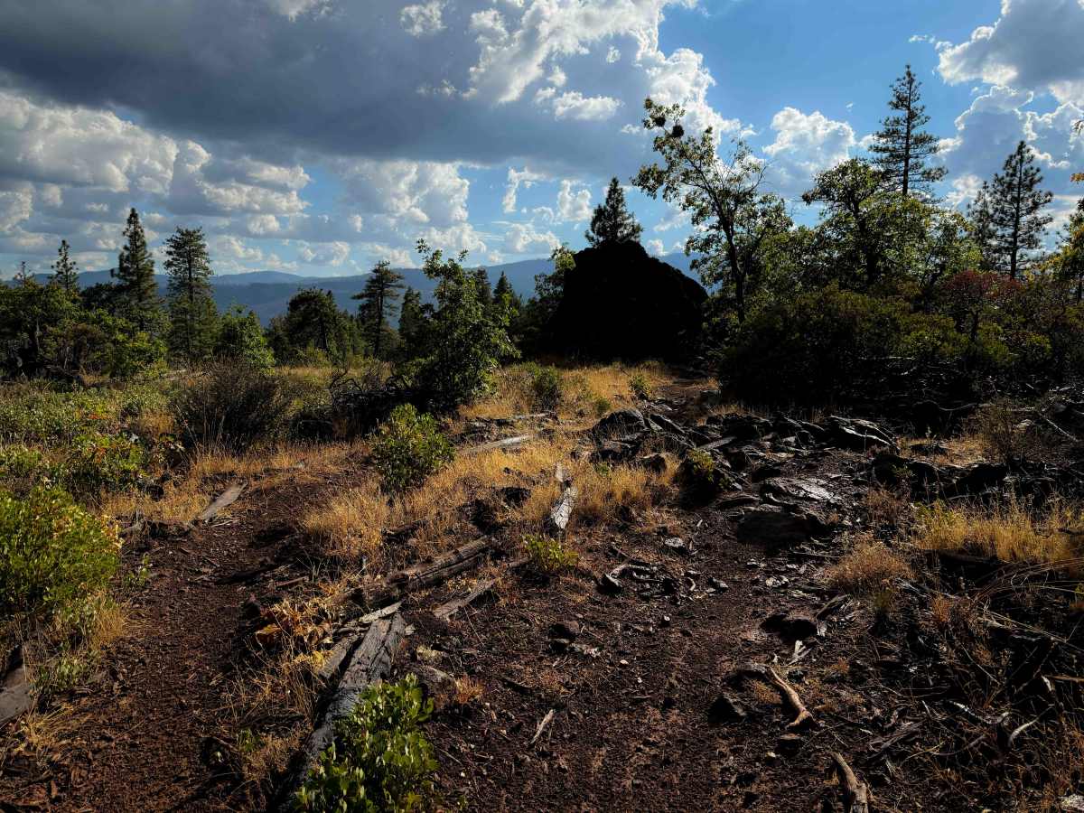
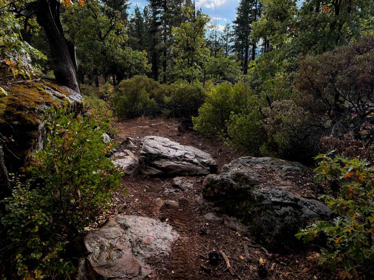
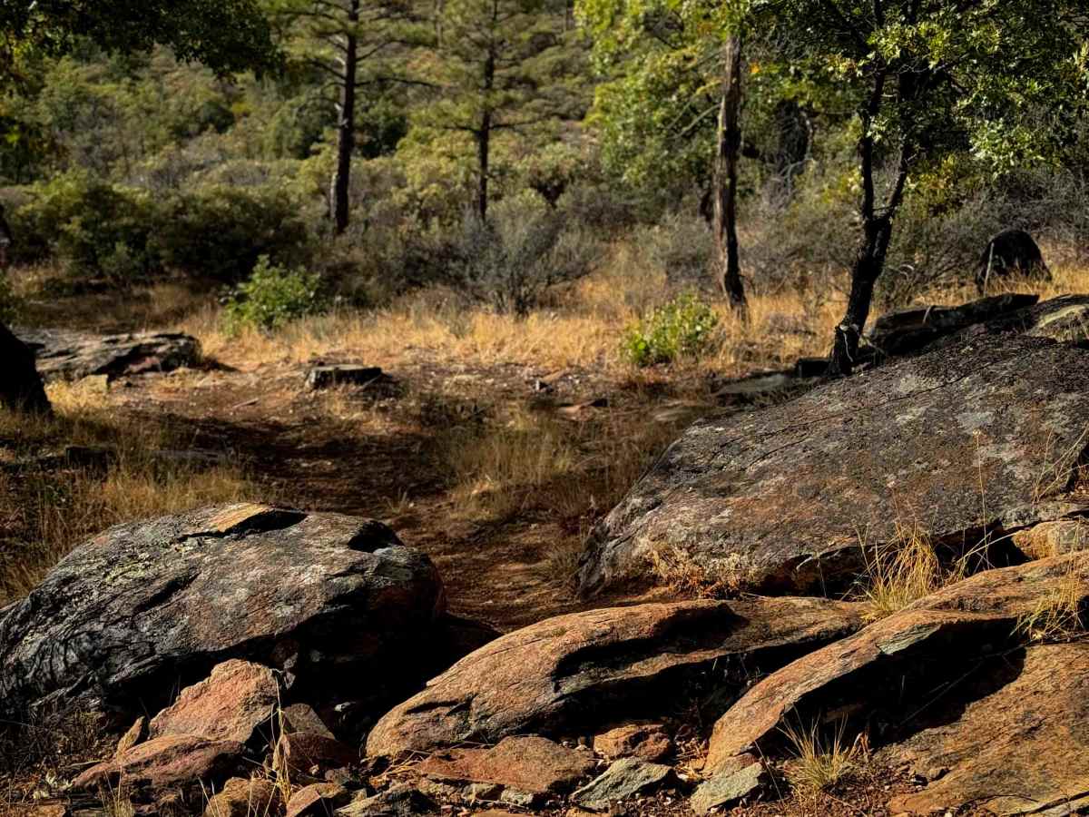
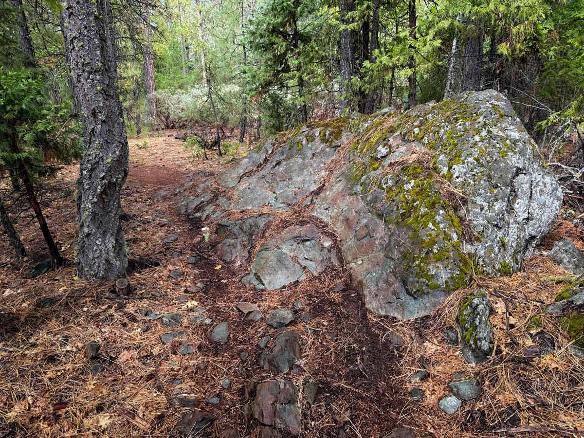
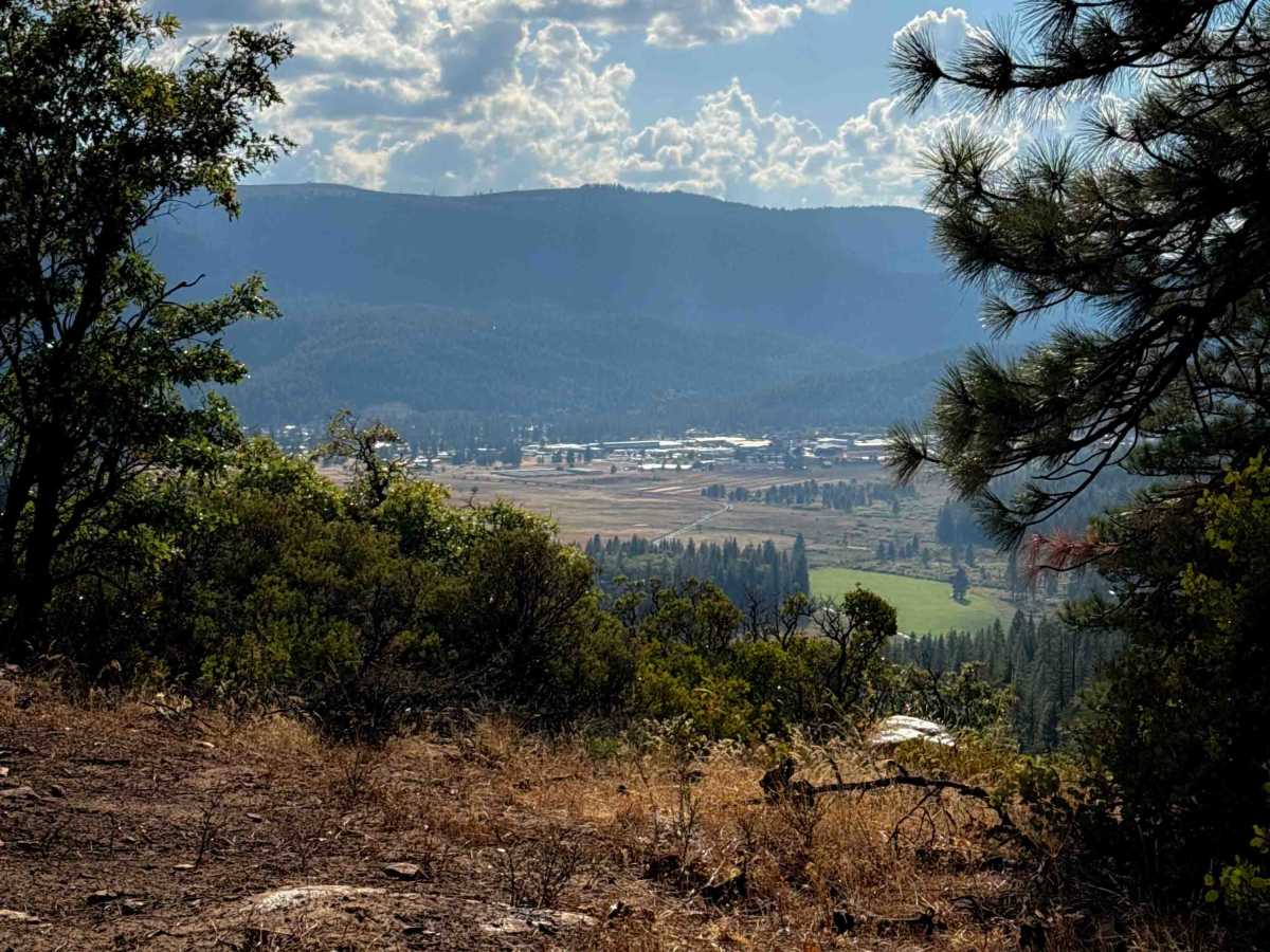
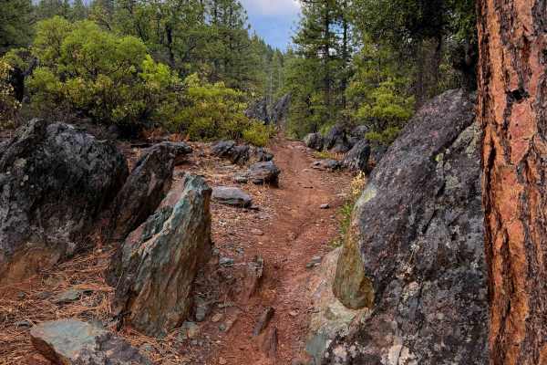
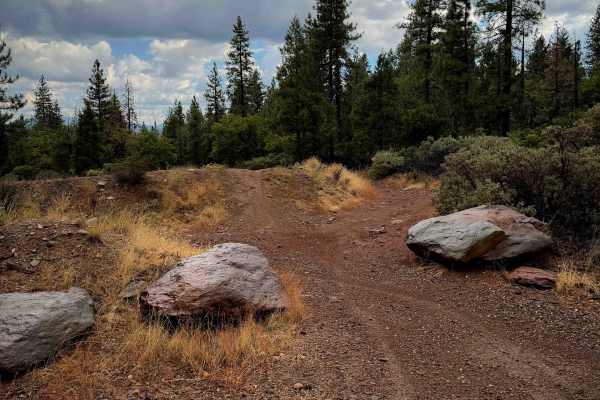
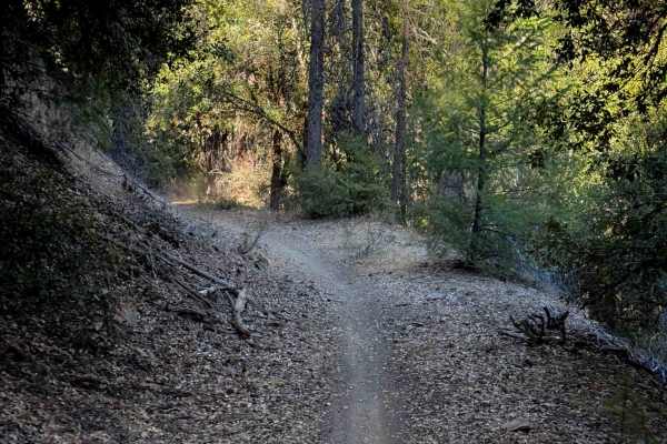
Chandler is a fun intermediate option in the Mount Hough Trail System, located near the Four Corners Trailhead. This one has a couple intermediate rock features, plus a scenic view on the south end of the loop. It makes a 4.1-mile-long loop, that is mostly a gradual grade as it winds through the sparse pine forest and goes past several scenic mossy rock outcroppings. The trail has a bit of loose rock on the surface in spots and lots of tight curves, making it slower going, but is also smooth, fast and flowy for large sections. There are bigger chunks of embedded rock layers and a few rock piles that you must ride over. The trail weaves through a lot of the embedded rock, creating rock pinches a couple times, and has a couple taller ledge-like features. Most of the rock features have an easier line choice around the main obstacle, but a couple aren’t optional. The west half of the loop goes through a dryer hillside full of manzanitas instead of the pine forest of the east half of the loop. There are also a few moderate switchbacks on the west side as well.
Difficulty
This is a moderate route due to the tight and winding nature of the trail with several intermediate rock features that make this more ideal for more experienced riders. There are a lot of easier line choices through the obstacles, and harder lines to choose from as well; riders could make this a more advanced trail if they take all obstacles.