Robert Schardt
Oct 05, 2025
2025 RAM 1500
Open
Muddy/WetRough/Deteriorated
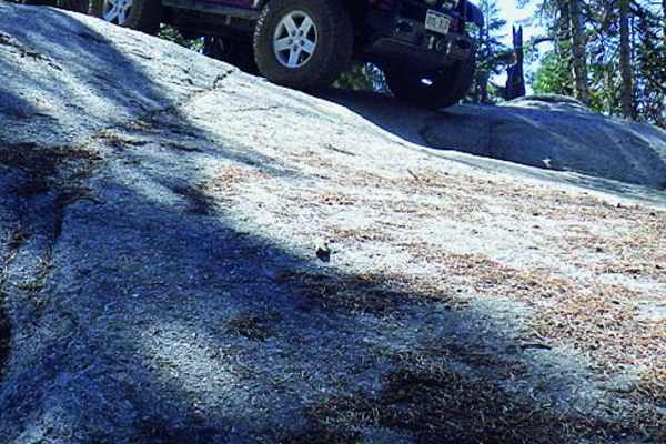
Started at the buck rock look out tower. Went after a rain storm in a full size ram 1500 warlock. I just have the stock 1in lift and the 33s. Thought it was going to be way easier with the reviews but after the rain it was pretty difficult. Had a lot of fun in the full size truck on the jeep trail but my rock sliders saved us multiple times. There was some very deep and loose ruts from the rain. A couple mud holes which was fun. A lot of rock climbing, but you need to pay attention to the trail on ONx and the physical trail. It can get confusing and opened up but there are diamonds on trees leading the way. Some steep up hill and down hill climbs which I was in 4Lo for and my rear axle locked. Plenty of room for a full size, didn’t have any problems scrapping. Would give yourself plenty of time and day light and make sure you know the way back to the main roads and out of the park if you are going to leave after.
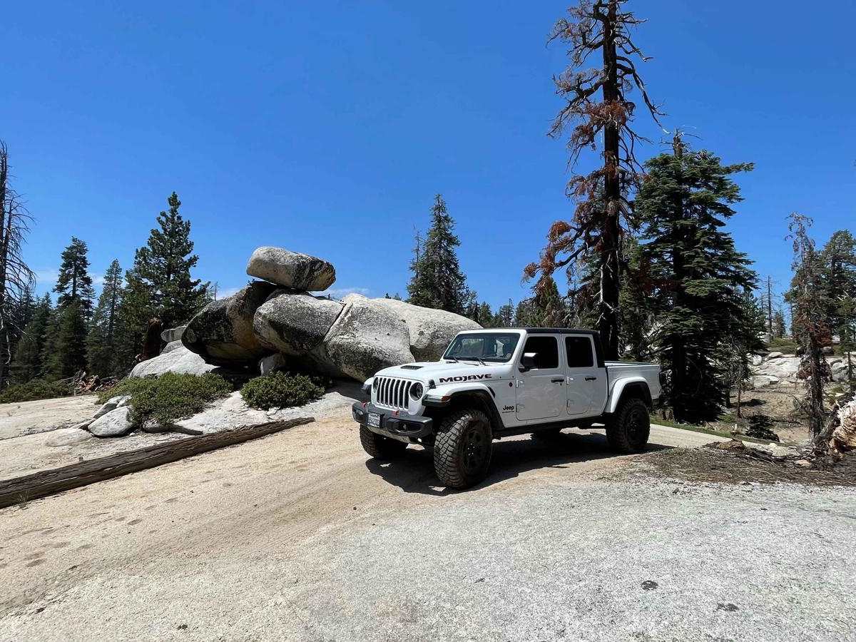
Eric Yi
Sep 27, 2025
2025 Jeep Gladiator
Open
NormalMuddy/WetRough/Deteriorated
Started the trail from the other side of the lookout around sunset with some light rain later on. Hit the rock garden hill going downhill and cleared it. I am on 33s with a 1.5” level kit and i did it with no damage. Just have to take it slow and pick your line properly.
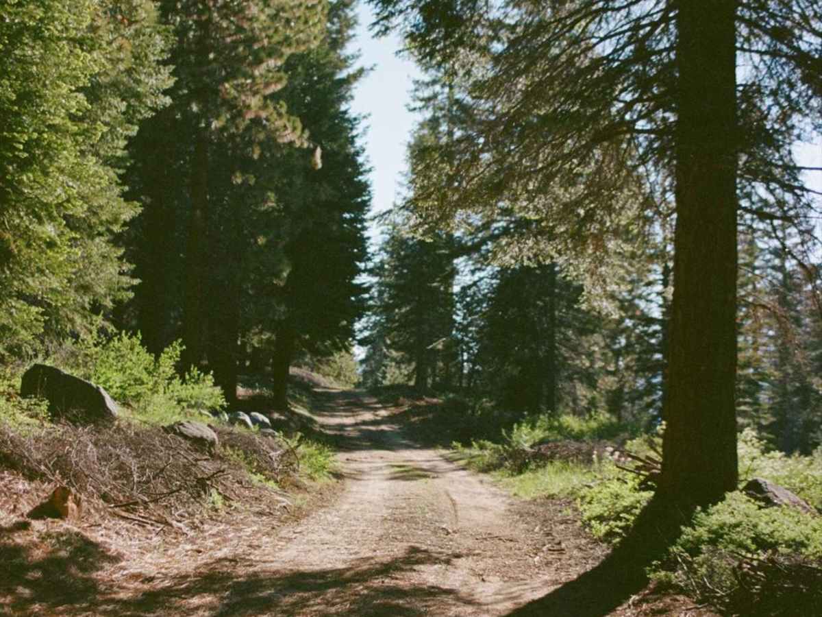
The trail on OnX is a bit wrong. About halfway through you get to a boulder field, and OnX wants you to go down through a group of trees but there is no trail there. It was pitch black so i was circling around the area trying to find the trail. I eventually did 15 mins later. Just stay on the big boulders and youll see patches of trails and tire marks and itll lead you to the right place eventually.
The entire trail I was either on 4H-Auto or 4H-Part time. I only had to turn on my rear lockers once the entire trail. Did not need to use 4L or front lockers.
Tyler Bruns
Aug 30, 2025
Open
Normal
The rock garden hill was pretty spicy, definitely want 35’s+ and some armor. Another hill was rutted out really bad, big enough ruts to eat a 35. Bypasses for both were available. Everything else was easily doable on 33’s with no lockers.
Jason Stevens
Aug 22, 2025
Open
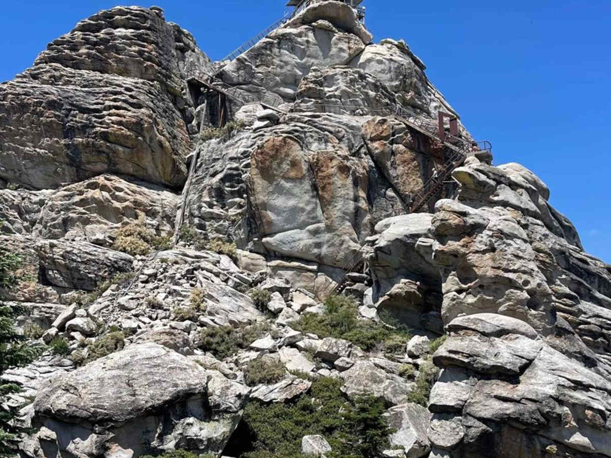
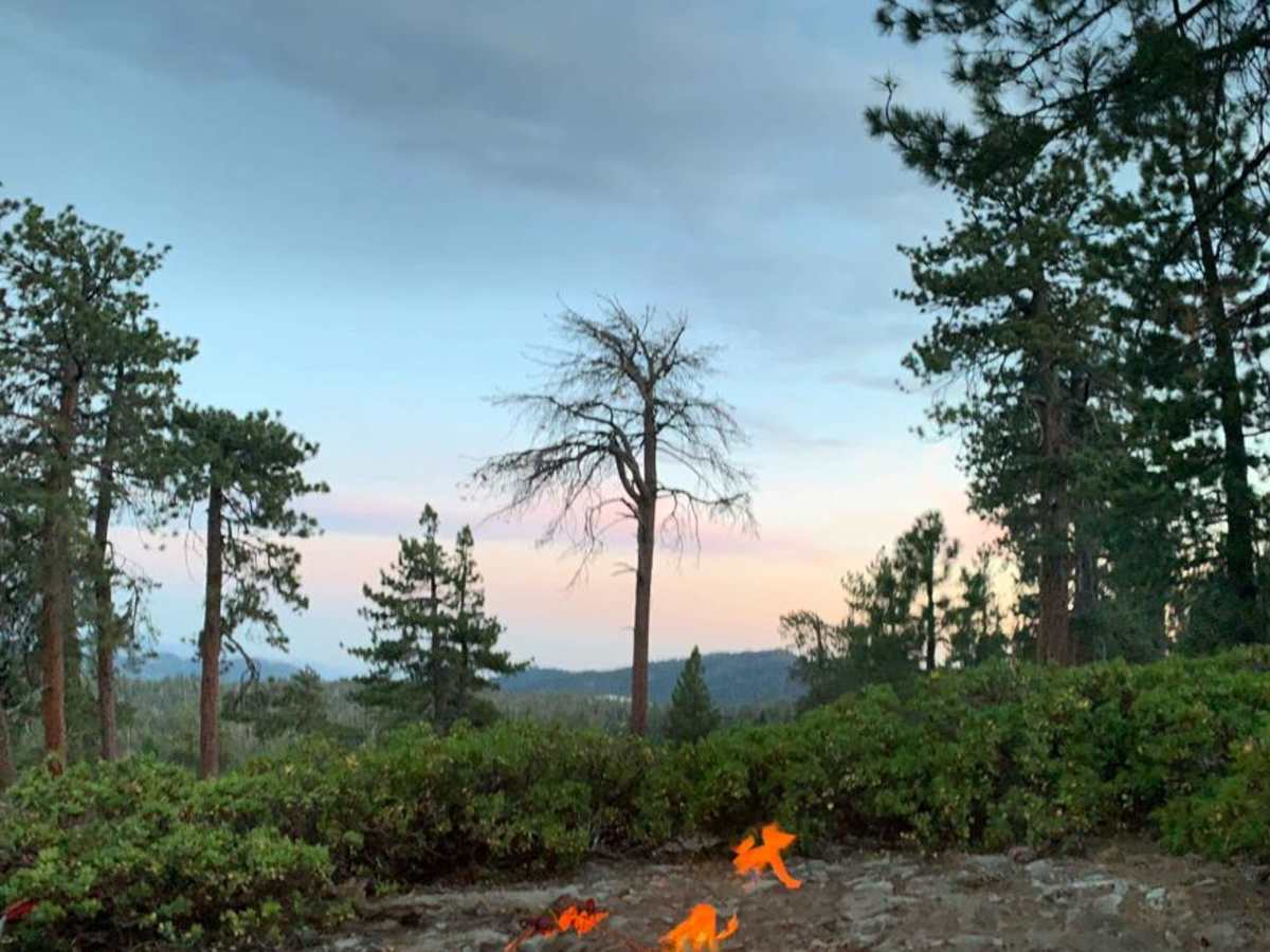
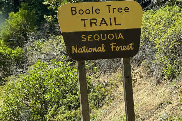
I went up here to check out the lookout tower but I got here too late in the afternoon. It was already closed for the day. I decided to try out this trail from there. My little Maverick Tremor handled it like a champ. It keeps surprising me. I bypassed all of the hard sections except one. There was one uphill section, without a bypass, that was pretty steep and really should be taken with something with a low gear transfer case, but I managed. I camped on the trail overnight and finished it in the morning. I was there to do an overnight time lapse.
Nathan Lange
Jul 04, 2025
2024 Jeep Wrangler
Open
Dusty
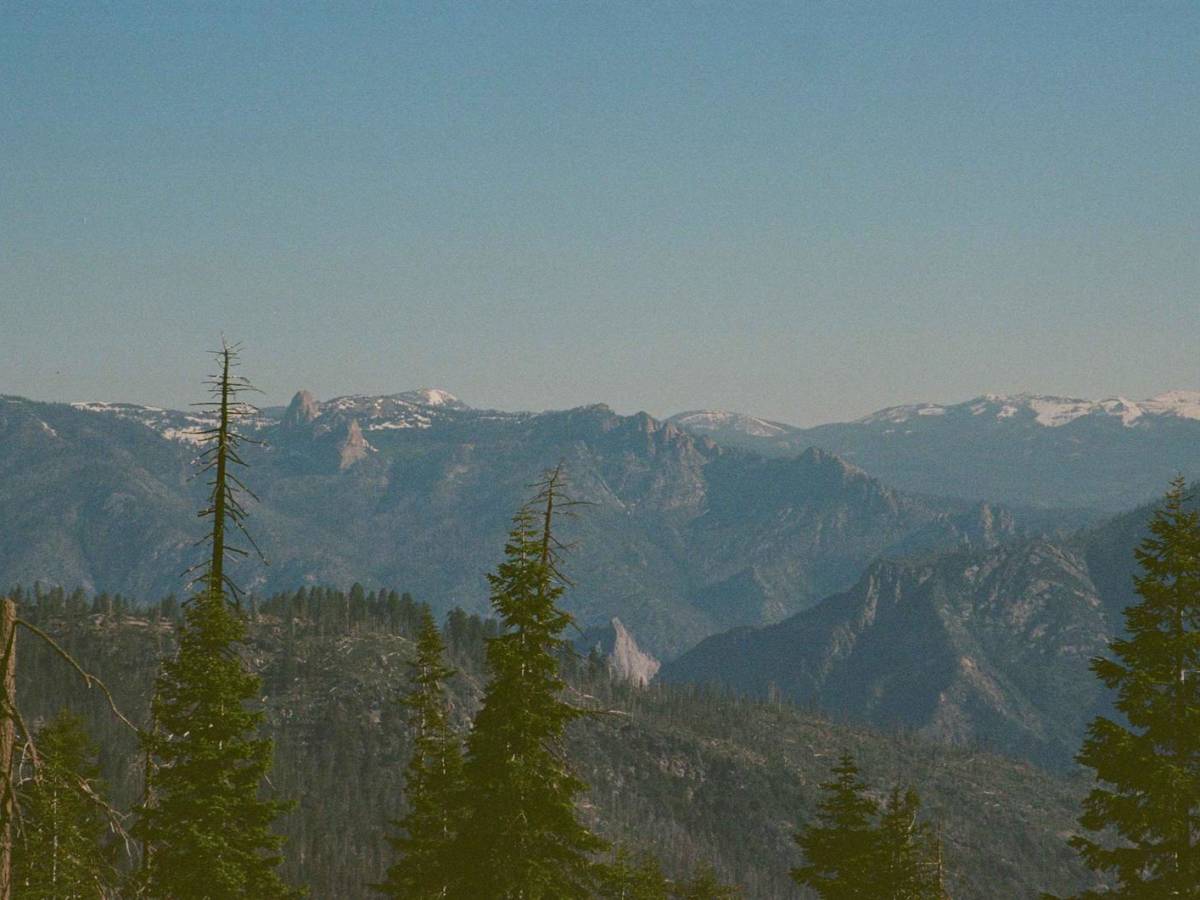
Trail was great, no issues. I did bypass the steep rock garden section but in hindsight I'm wondering if I could have done it with some spotting. Maybe next time. All in all it was great, I recommend stopping and hiking up to the Buck Rock Lookout.
Vicente Hernandez
Jul 04, 2025
2020 Toyota Tacoma
Open
DustyRough/Deteriorated
Fun trail. Not challenging with 4x4 and rear locking differential and good stock clearance is okay. May be intimidating but once you climb that hill you’ll have so much fun. Done with a 2020 Tacoma off road. I bypassed the rock garden.
Samuel Amaya
Jun 29, 2025
2021 Ford Bronco
Open
NormalDustyRough/Deteriorated
Buck rock is a dusty, rocky and fairly challenging trail. The obstacles can make you scratch your head a little. I was indifferent about doing this trail since I came to hike and camp both of these parks (Kings Canyon is way better btw) and we ended up really enjoying this trail. I didn’t air down, didn’t really need to. Stock badlands on 33 in tires, manual transmission. Do it if you can, be aware of the super steep climbs though, they’re kinda sketchy. Lockers are a must for these.
Jorge Sanchez
Jun 24, 2025
2025 Jeep Wrangler
Open
Normal
Not super difficult. Fun. No one around while I was there. Great views.
Giovanni Zamudio
Jun 20, 2025
Open
NormalDusty
Mostly hard packed with a few loose sections so you kick up a lot of dust however was pretty easy I did it solo there was 2 decently steep inclines and one major obstacle the rock garden however it does have a bypass. However don’t think twice get out there and have some fun
Loren Scott
Nov 09, 2024
2019 Toyota Tacoma
Open
Dusty
Plenty if silt and loose gravel. Smokey in the distance depending on wind conditions due to the nearby fire.
Shaun Manuele
Sep 11, 2024
Open
NormalDusty
very open and spacious area. The trail has several steep inclines and bypasses. get out there and have some fun.
Andrew Mitchell
Jun 17, 2024
Open
Dusty
The Jeep trail is open; the road to buck rock is closed for vehicles.
Michael Villavecer
May 25, 2024
Temporarily Closed
Closed Gate