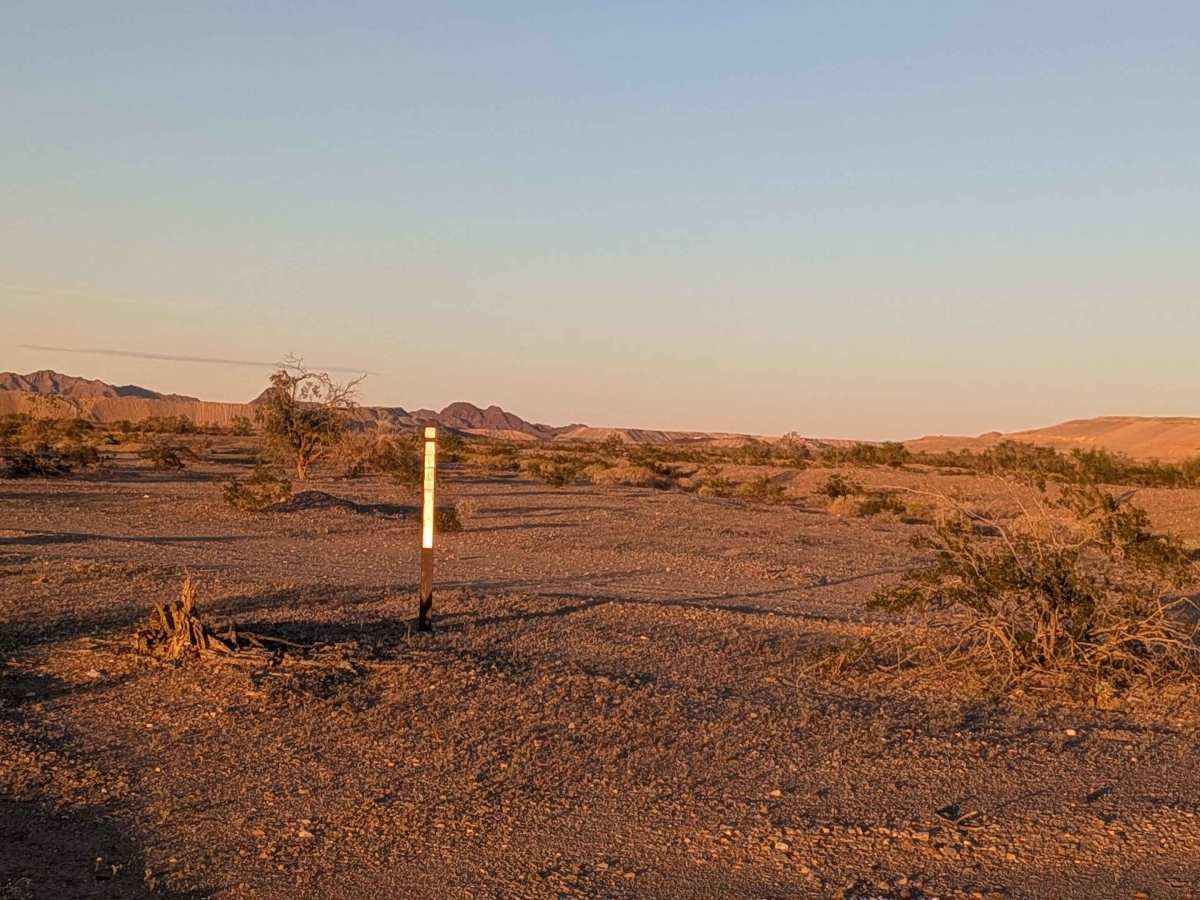
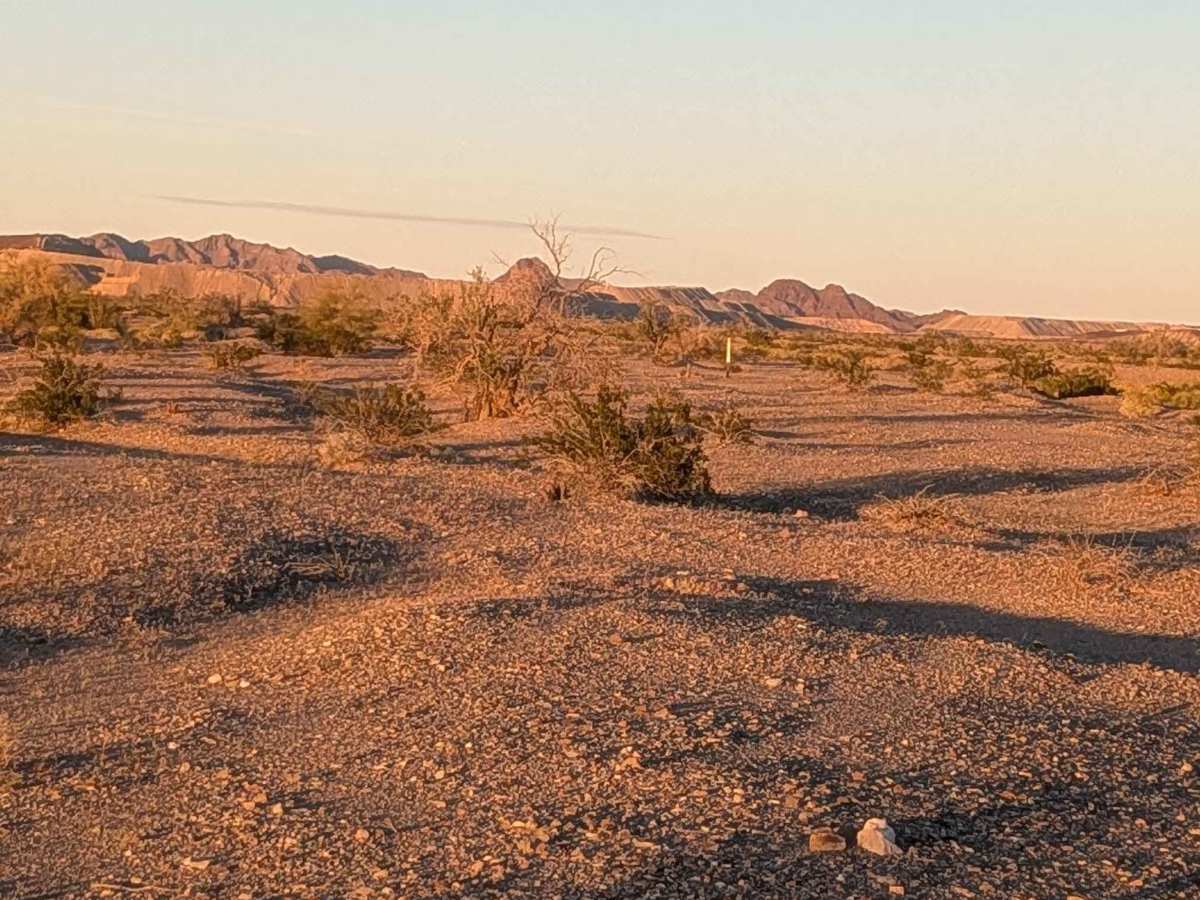
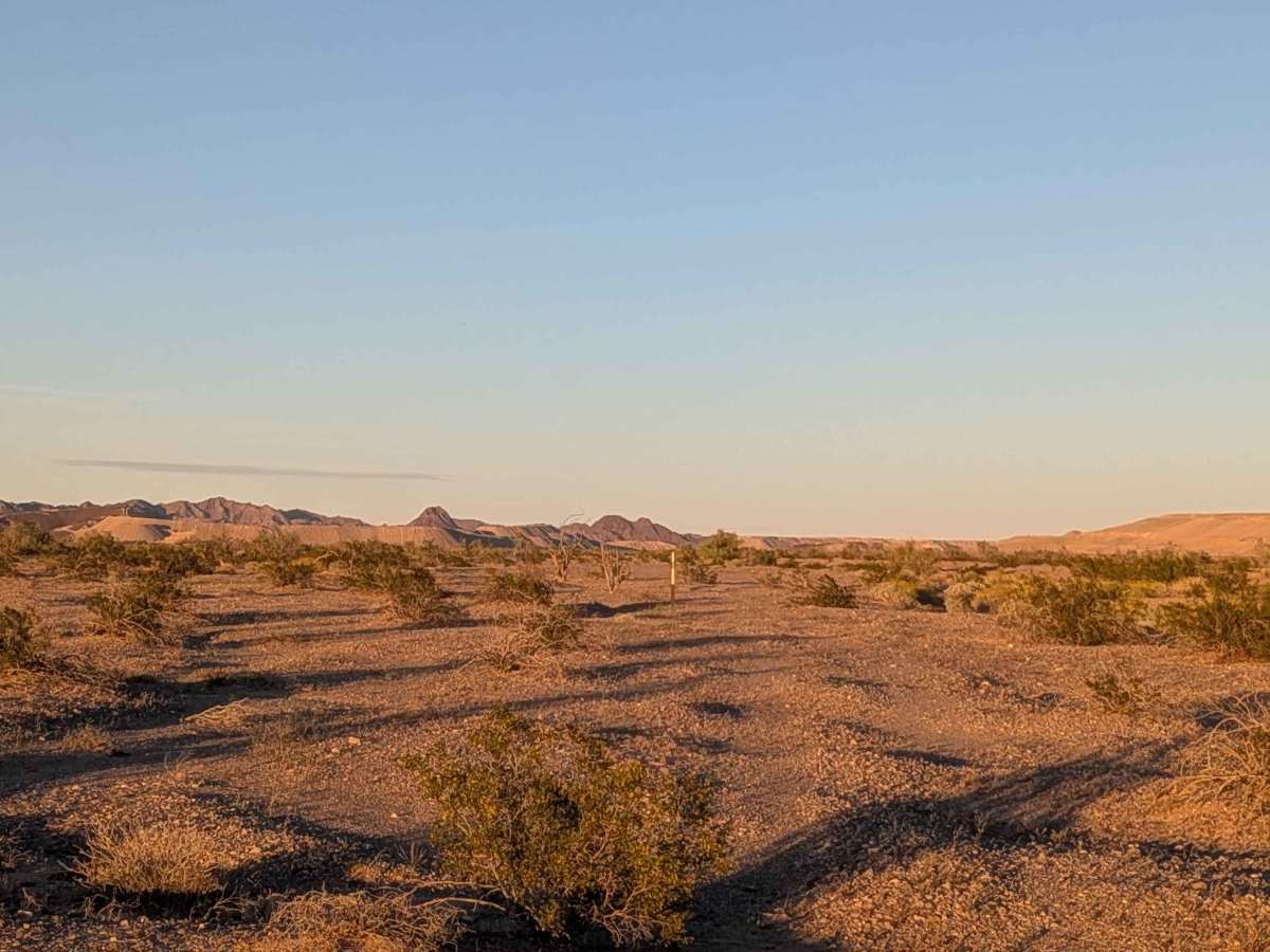
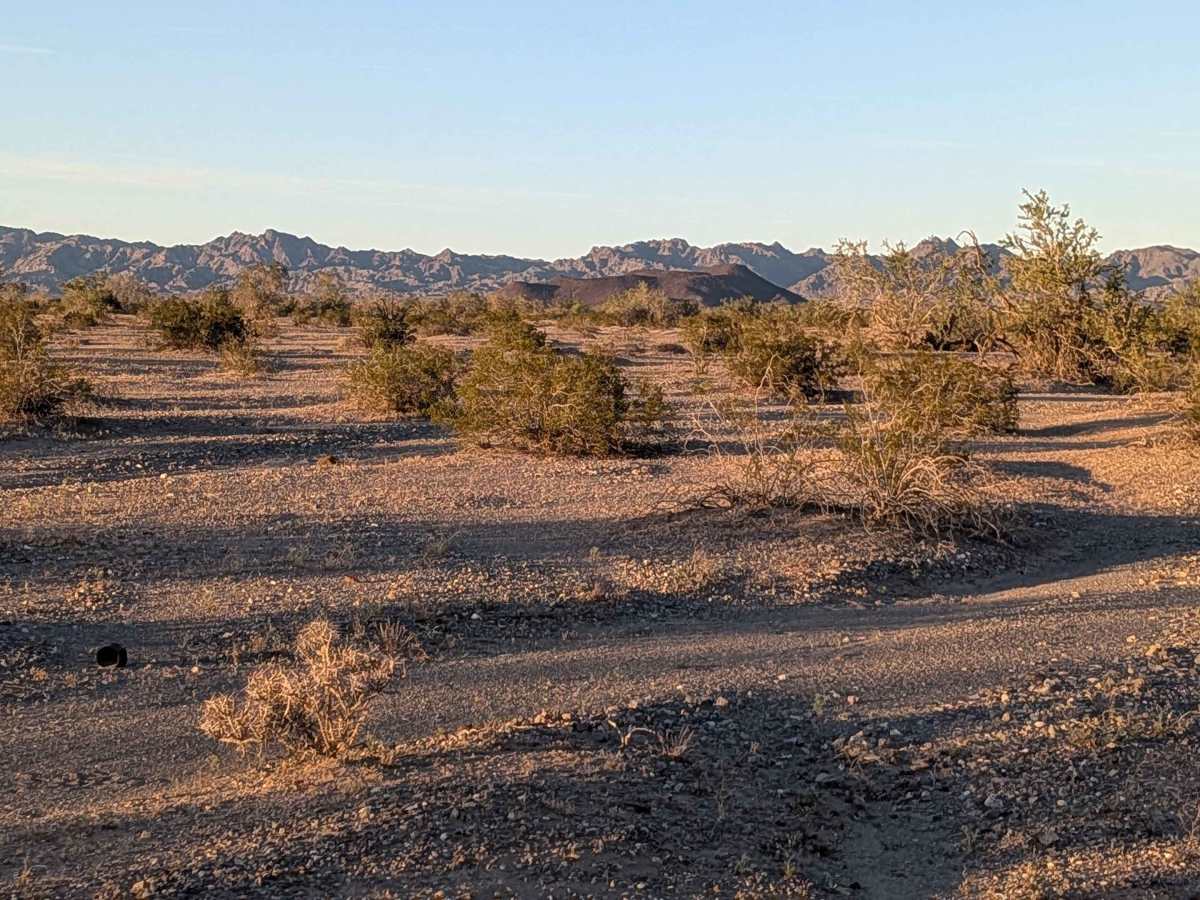
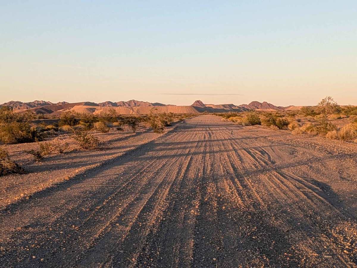
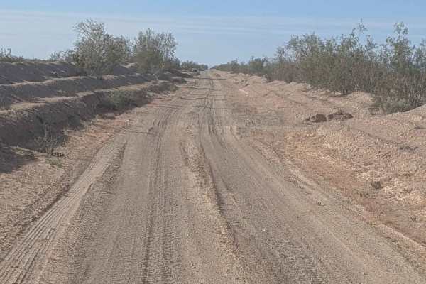
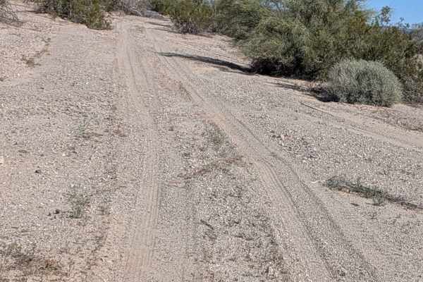
Trail Overview
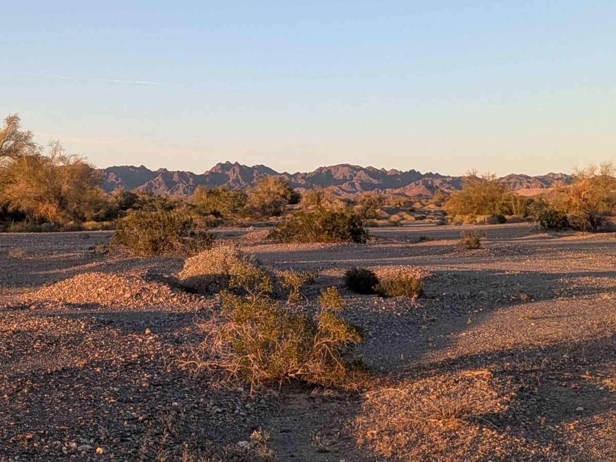
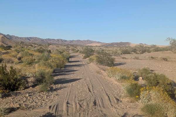
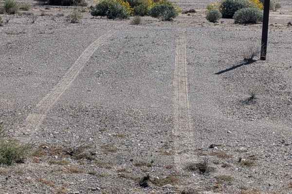
This trail starts off BLM 543 just off the highway and runs parallel to the highway for a little bit before diverging. The surface is gravel and sand, creating mixed traction conditions. The route cuts through a forest of desert trees and desert bushes, an unusually dense vegetation corridor for the area. Many mountains serve as the backdrop, providing scenic views. The trail meanders its way through the brush, where there's not much of a visible trail, making navigation challenging. About 1.25 miles from the south, it rejoins a very wide graded section where conditions improve dramatically. The trail eventually ends at the railroad track.
Difficulty
The gravel and sand surface requires attention to traction. The main challenge is navigation as the trail meanders through the brush, where there's not much of a visible trail, requiring careful attention to terrain features and any existing tracks. The forest of desert trees and bushes creates tight quarters. Once you reach the very wide graded section at 1.25 miles from the south, navigation becomes much easier. Four wheel drive is recommended for the sandy sections and vegetation.