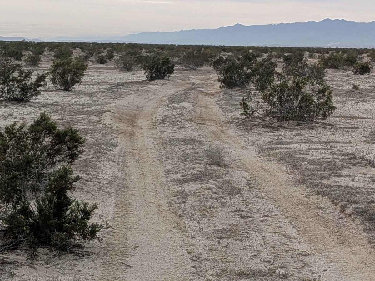
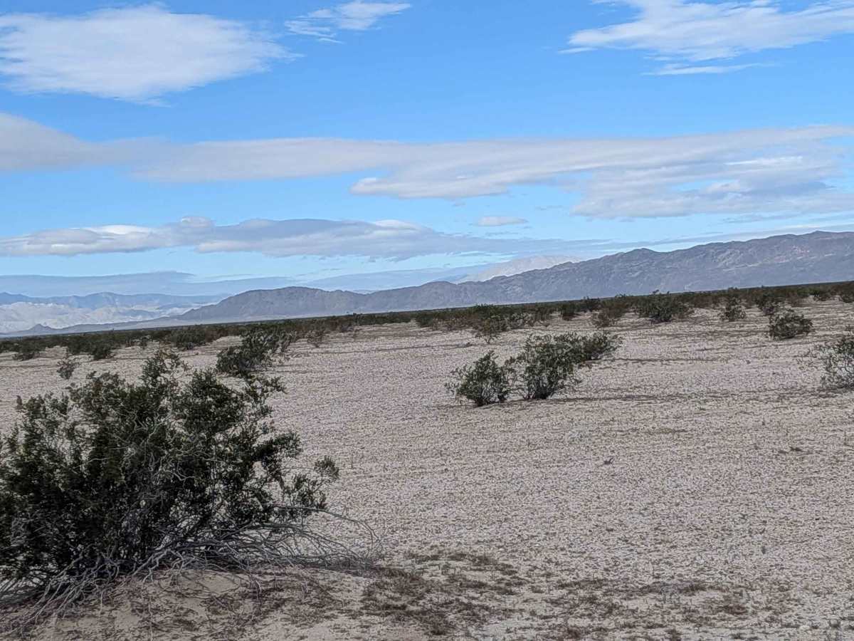
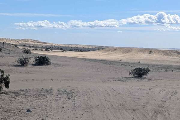
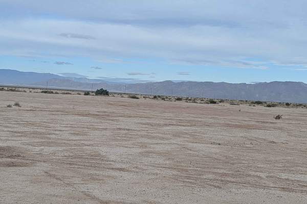
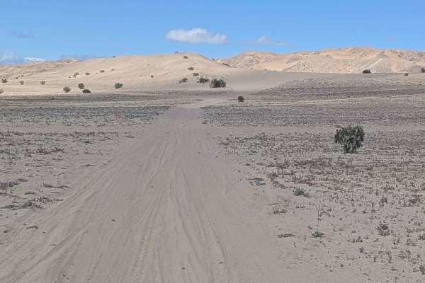
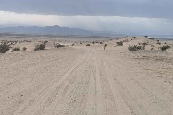
Trail Overview
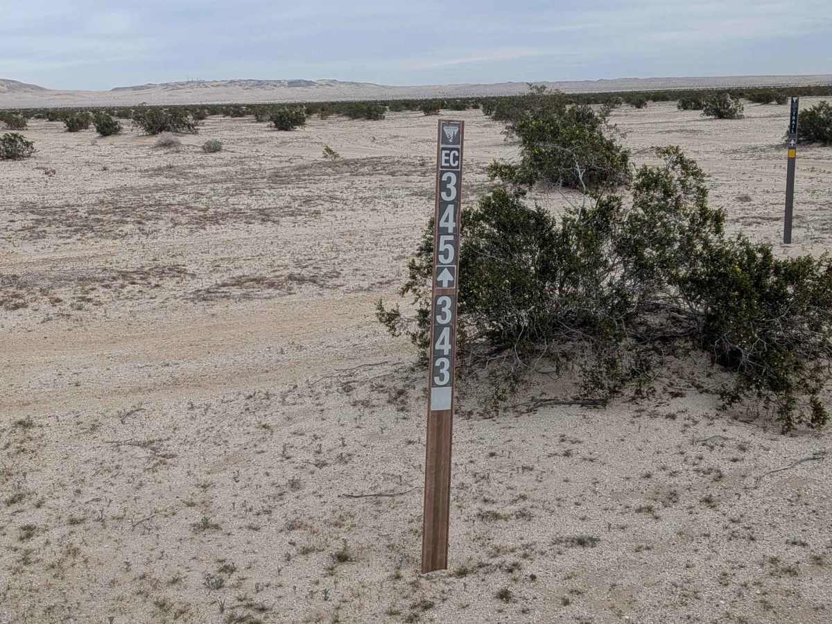
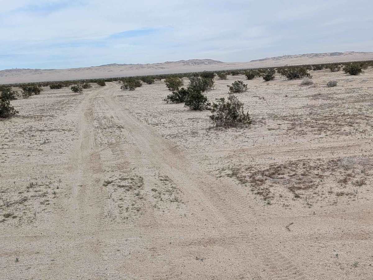
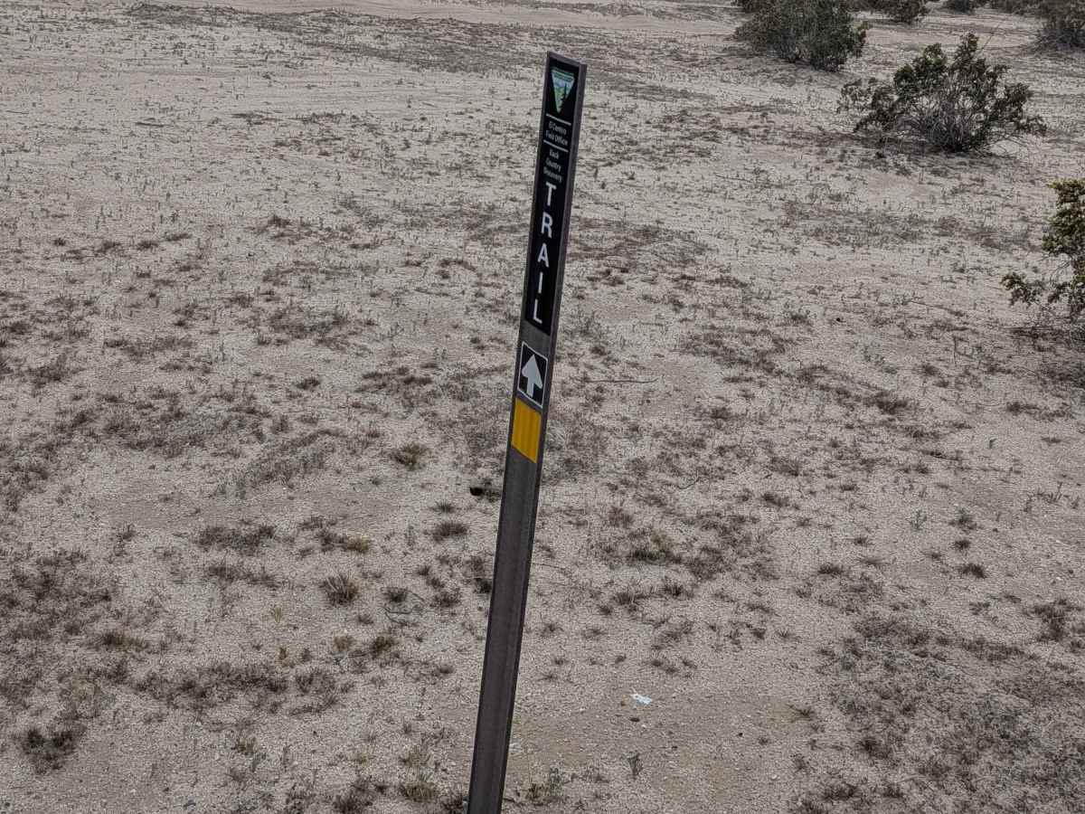
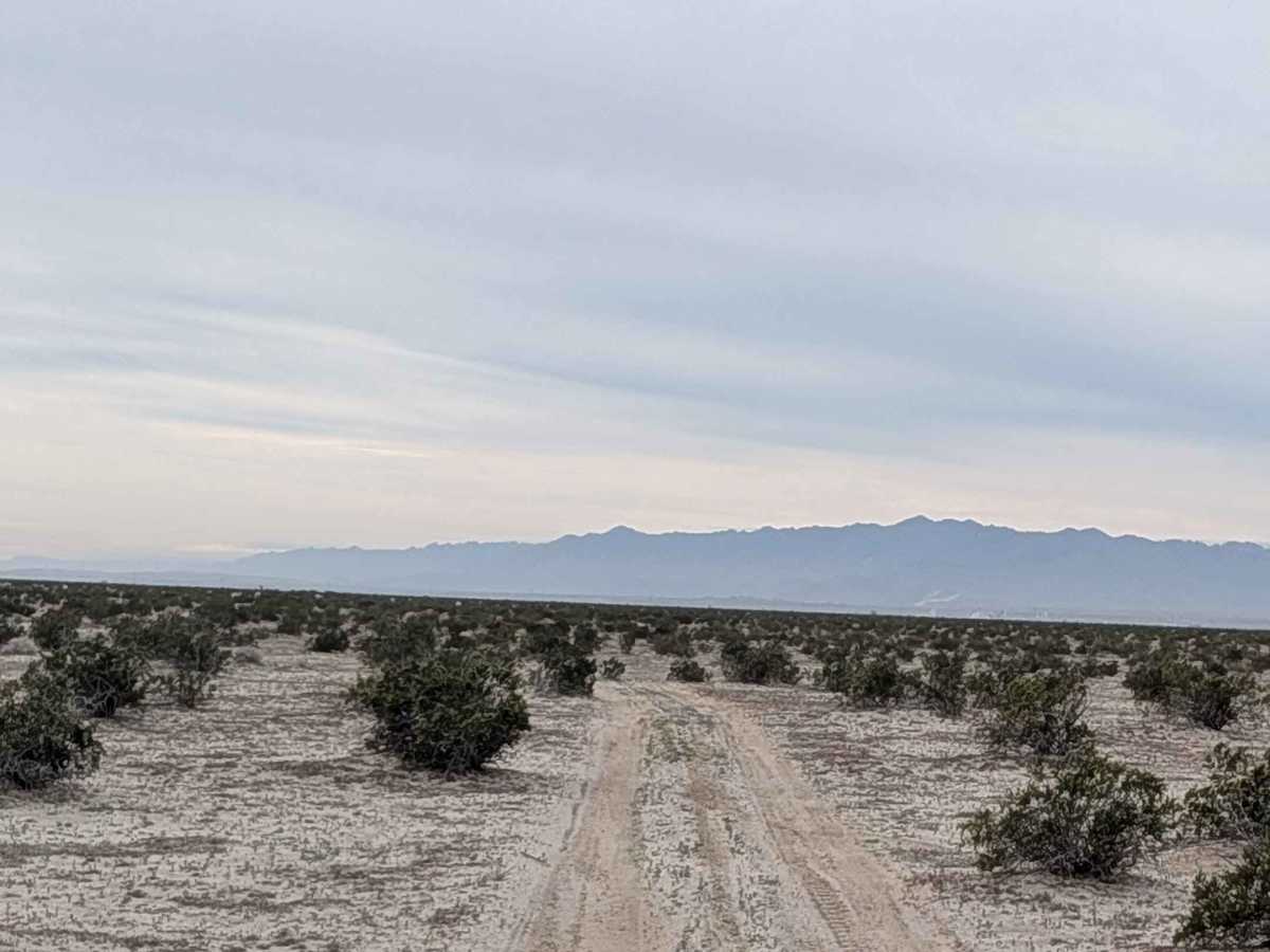
This north-to-south trail is part of the BLM El Centro Discovery Trail, adding significance to the route. Heading south, you have the Coyote Mountains as your backdrop, while heading north, Superstition Mountain dominates the view. The surface is soft sand and relatively flat, surrounded by creosote bushes and a solitary ocotillo, adding character to the sparse landscape. There are small whoops along the trail that add minor bouncing. The trail runs along the west border of the US Navy bombing and training area, so do not stray to the east of the trail under any circumstances. On the south side, the trail ends at private land. On the north side, the trail ends at Lucky Lady, where there is no sign of it continuing as it did in the past.
Difficulty
This is an easy trail with soft sand that requires four wheel drive, and airing down is recommended for traction. The relatively flat terrain and small whoops are manageable without technical challenges. The main safety consideration is staying strictly on the trail and not straying east into the US Navy bombing and training area. The private land on the south end also requires respect for boundaries.