Trail Overview
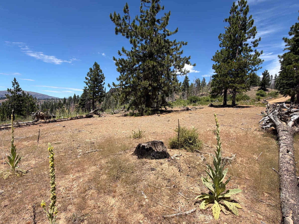
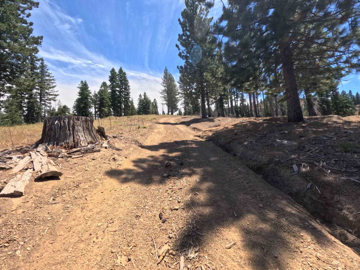
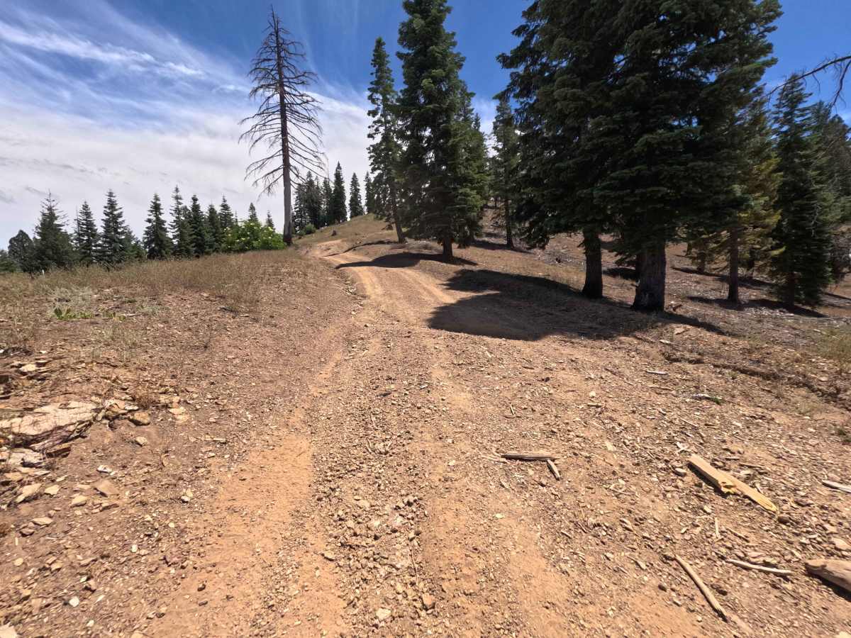
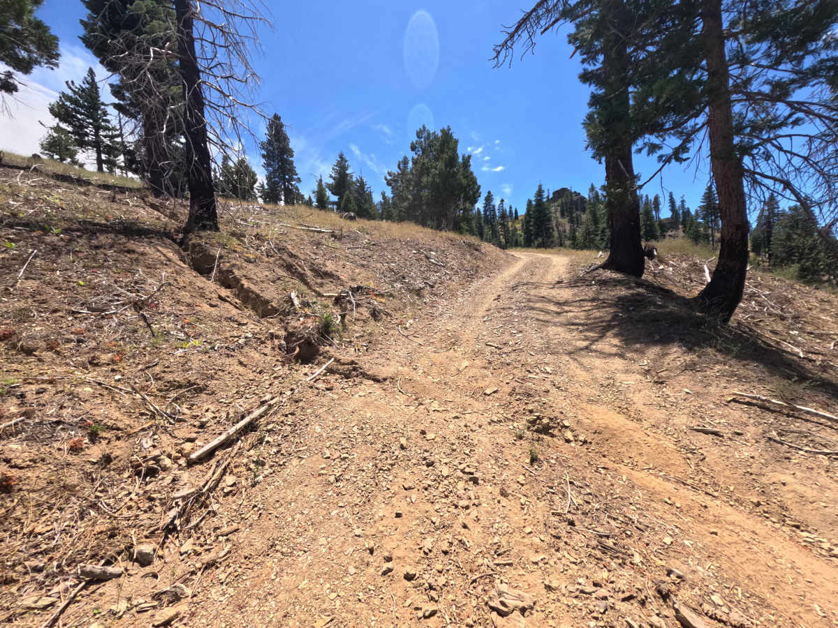
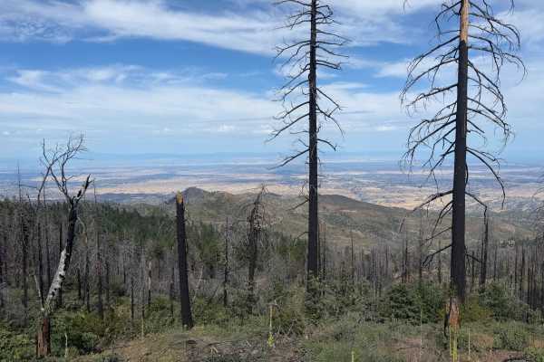
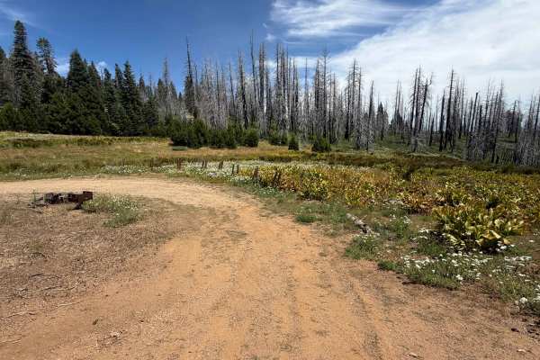
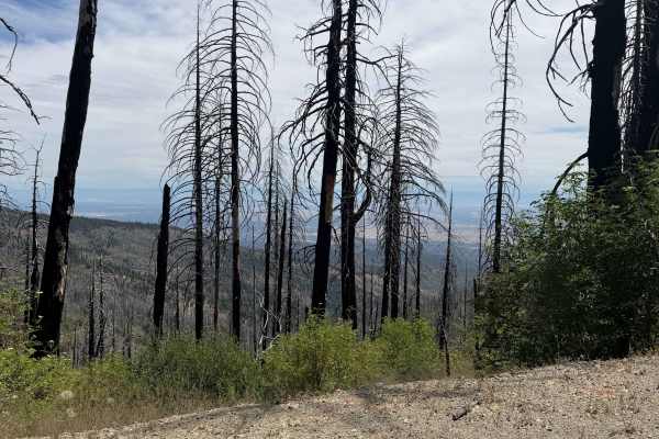
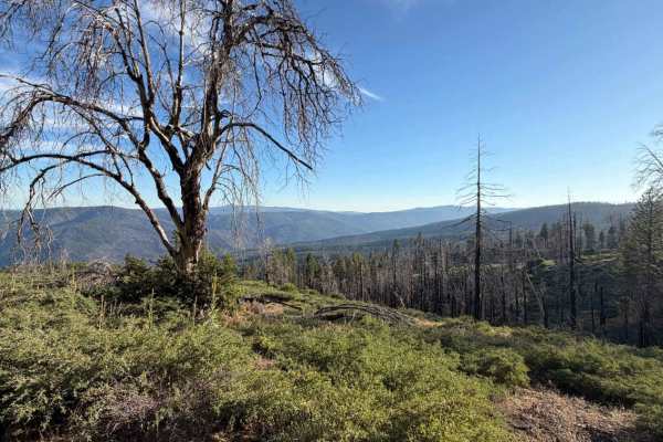
Branching sharply off Forest Road M22, Ball Rock Summit (FS 25N66) serves as a steep, energetic climbing spur that delivers drivers straight up to the crest of Tatham Ridge. Nestled within the Mendocino National Forest, the trail traverses high-elevation terrain recovering from the massive 2020 August Complex Wildfire, characterized by towering pine timber, open slopes, and persistent understory growth. The track consists of native red dirt and coarse shale gravel, cut with winding switchbacks and occasional foot-deep erosion channels. Outdoor enthusiasts often take this pathway for its breathtaking, panoramic mountain vistas—including a wide-open clearing near the top offering distant views of Mount Shasta—before passing scattered pullout campsites at miles 1.4 and 1.5, eventually joining Tatham Ridge at mile 1.6
Difficulty
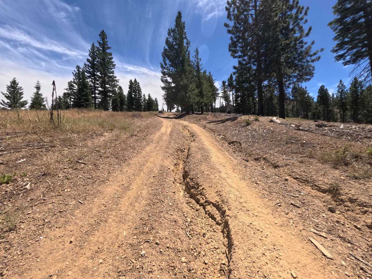
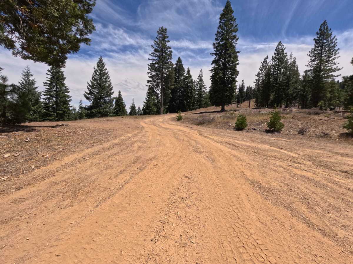
Rated a 3 in difficulty, this narrow, single-track climb presents a challenging, uneven surface marked by steep grades and technical terrain features. Long, deep washout ruts run directly down the center and sides of the dirt tread, demanding careful tire placement to avoid high-centering. High clearance and larger, aggressive tires are required to safely negotiate these steep erosion channels until reaching the smooth ridge line at mile 1.3.

 Offroad