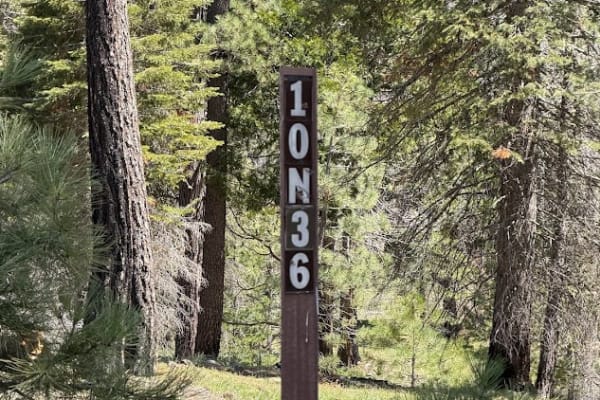
Alder Creek - FS 11N46

Total Miles12.1
Technical Rating
2Easy
Best TimeSummer, Spring, Fall
Trail TypeFull-Width Road
Accessible By
Open Trail Map

Trail Overview

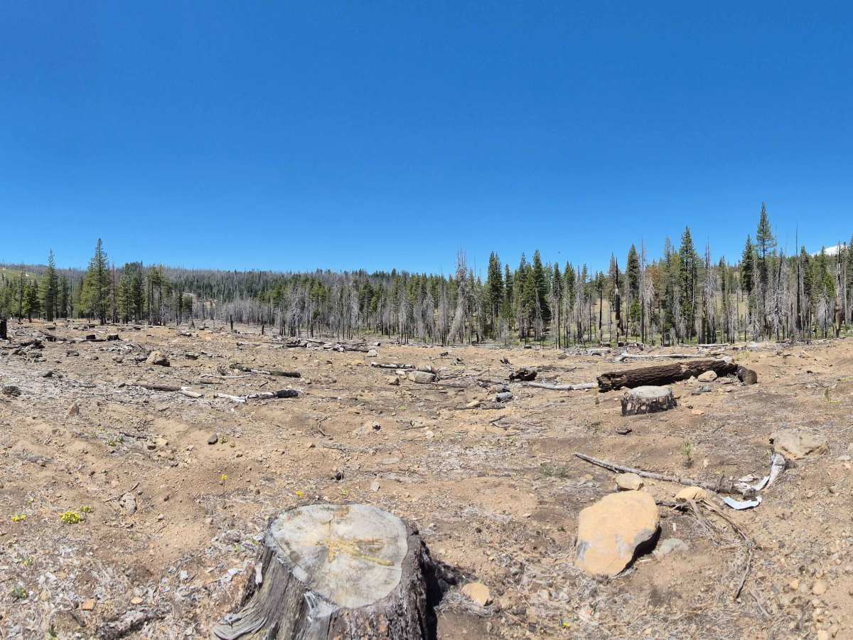
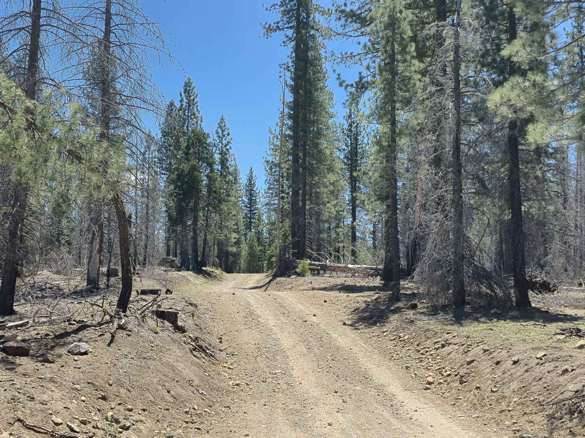
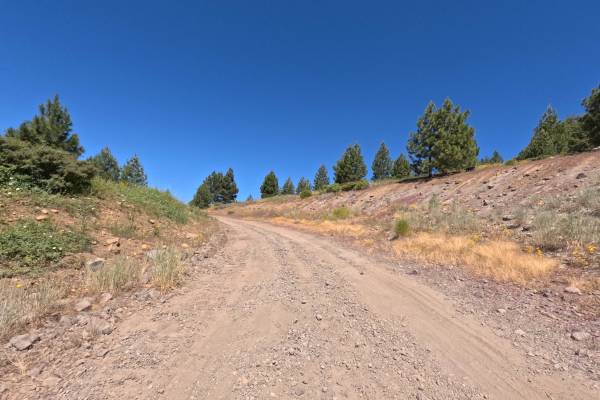
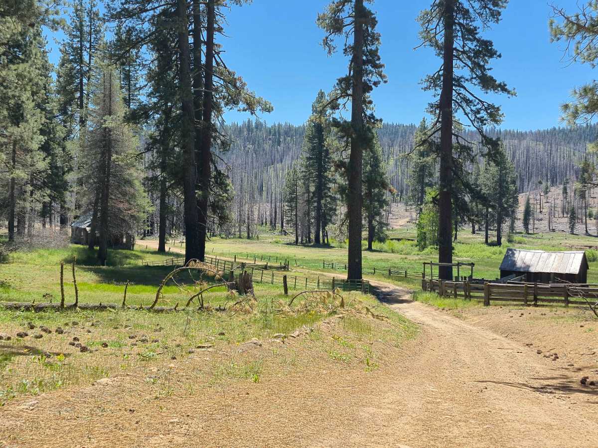
Alder Creek (FS 11N46) is a well-maintained route that travels between US Highway 50 near Kyburz and Mormon Emigrant Trail south of Morrison. While Alder Creek itself is not terribly challenging, it does connect at least 12 spurs and ties. This is an excellent trail to see the ongoing recovery after wildfires, as the trail traverses some wildfire-scarred areas. The trail can be accessed from the north or south end, which will determine whether you are predominantly climbing or descending along the route.

Photos of Alder Creek - FS 11N46

Difficulty

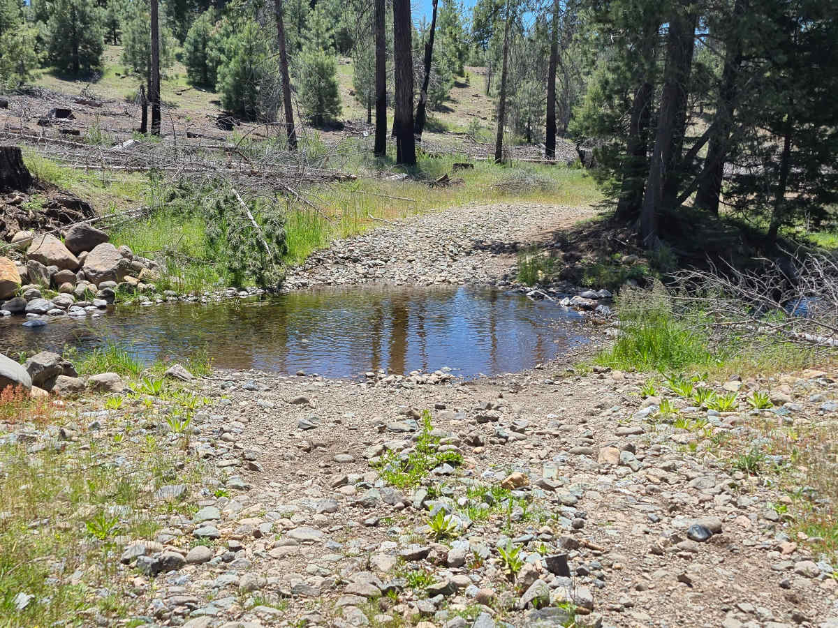
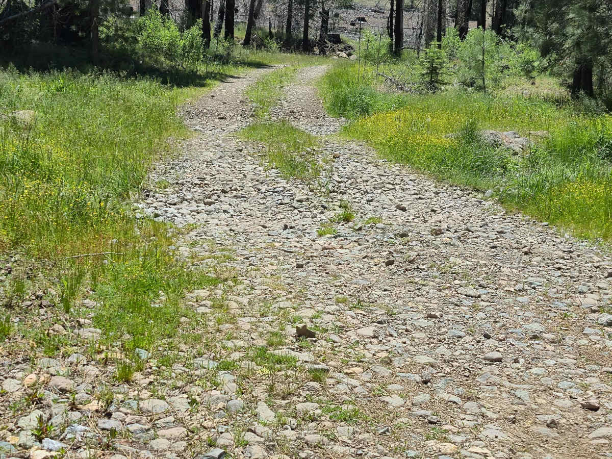
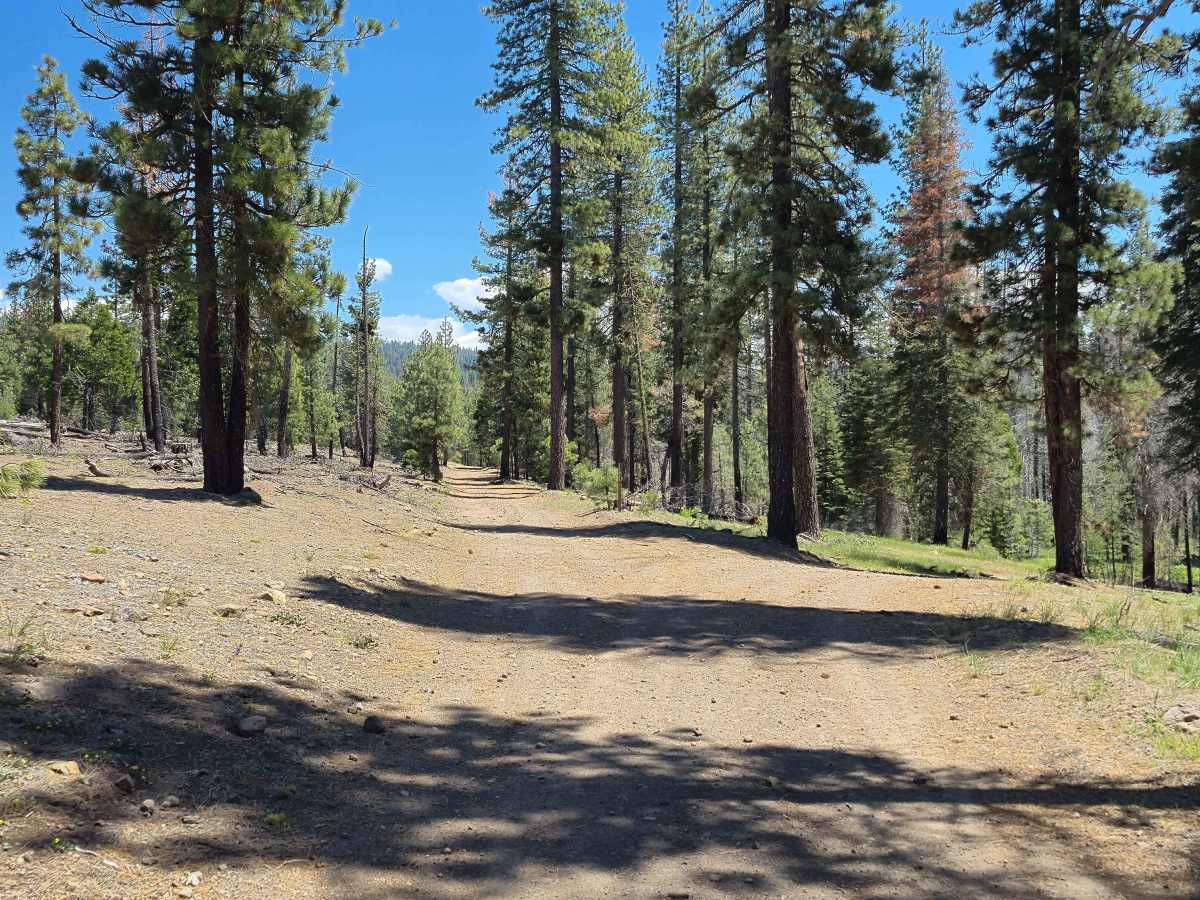
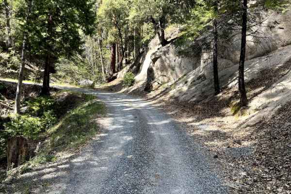
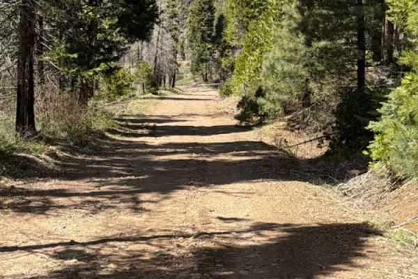
The road is full-width most of the way, with plenty of space to pass oncoming vehicles. There are many places to pull over to allow others to pass. There are two shallow water crossings during spring while the snowpack is melting, as well as a few places where rain will create mudholes. There are also a few shallow ruts spread throughout the trail. While dry, Alder Creek is traversable in a 2WD vehicle with ample clearance and all-terrain tires.

Technical Rating

2

Status Reports

Add Status Report
John Herrera
Jun 19, 2026
Open
NormalDustyRough/Deteriorated
Alder Creek is a relaxed forest route in El Dorado National Forest with dispersed camping access and light traffic, connecting Hwy 50 to Silver Fork Road. Entered from Hwy 50 near Sand Flat Campground late Friday afternoon. First half mile is smooth gravel, suitable for any passenger vehicle. Key characteristic is narrow sections after the campground, where the road can narrow to single-vehicle width with limited visibility from curves and overgrown brush creating blind corners. Because of this, situational awareness is critical, and drivers should reduce speed accordingly. Newer drivers or those uncomfortable with confined roads should use extra caution, especially with ATVs and side-by-sides common in summer. During this run I proceeded cautiously, reducing speed and maintaining awareness. Pullouts are irregular, so watching dust plumes from approaching vehicles provides early warning. After the higher elevation climb, the road widens and becomes less restrictive.

Alder Creek - FS 11N46 Trail can be accessed by the following ride types:

  • Single Track
  • High Clearance
  • Full Width

Alder Creek - FS 11N46 Map

The onX Offroad Difference

onX Offroad combines trail photos, descriptions, difficulty ratings, width restrictions, seasonality, and more in a user-friendly interface. Available on all devices, with offline access and full compatibility with CarPlay and Android Auto. Discover what you're missing today!

Open Trail Map