Wolf Pen Gap 313

Total Miles2
Technical Rating
3Easy
Best TimeSpring, Summer, Fall
Trail Type60" Trail
Accessible By
Open Trail Map

Trail Overview

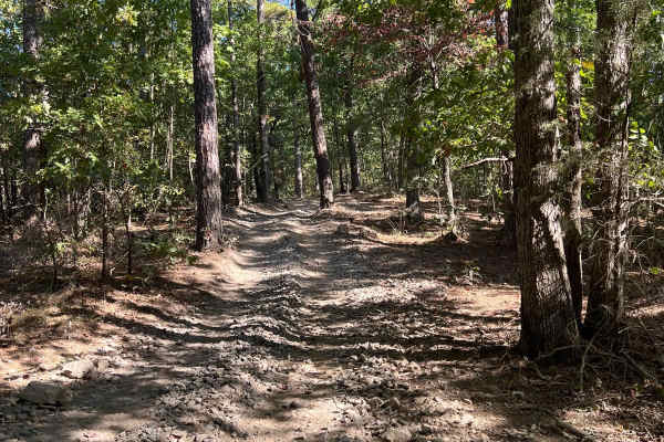
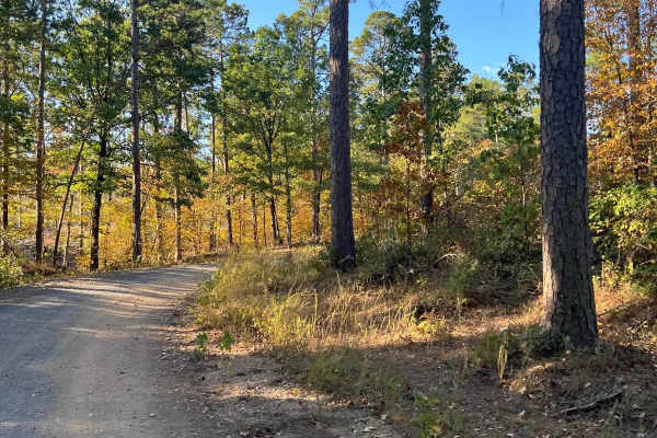
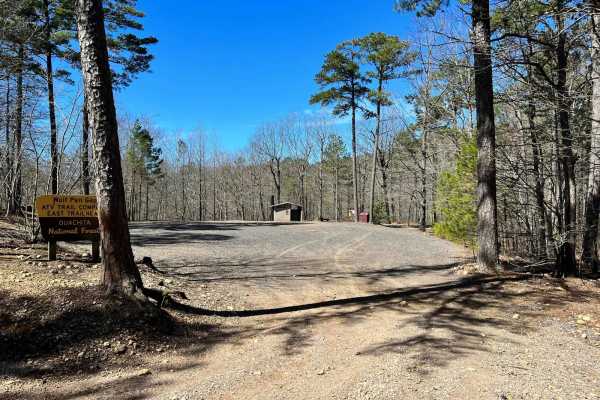
Wolf Pen Gap Trail 313 is a 1.97-mile ATV and side-by-side (SxS) connector trail in the Ouachita National Forest. Branching off Polk Road 619 (West Gap 277), this narrow route features rolling terrain, dense forest canopy, and a mix of dirt and loose rock. The trail climbs approximately 343 feet to a maximum elevation of 1,360 feet. It features moderate inclines and rocky sections that require careful tire placement. Due to its narrow width and limited pull-offs, riders must watch for oncoming two-way traffic and plan stops near the trail ends.

Photos of Wolf Pen Gap 313

Difficulty

This ATV only trail has a few inclines and rocks. There are not many places to pull off so plan your breaks.

Technical Rating

3

Wolf Pen Gap 313 Trail can be accessed by the following ride types:

  • 50 Inch
  • 60 Inch

Access Description

The trail is open to ATVs and side-by-sides (SxS) only; full-size vehicles are prohibited. The Wolf Pen Gap Trail System is subject to a seasonal closure from November 1 through March 3 annually to protect watershed resources.

Wolf Pen Gap 313 Map

The onX Offroad Difference

onX Offroad combines trail photos, descriptions, difficulty ratings, width restrictions, seasonality, and more in a user-friendly interface. Available on all devices, with offline access and full compatibility with CarPlay and Android Auto. Discover what you're missing today!

Open Trail Map