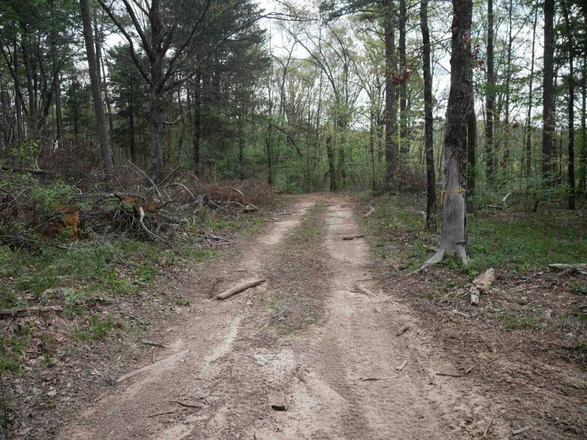
Trail Overview
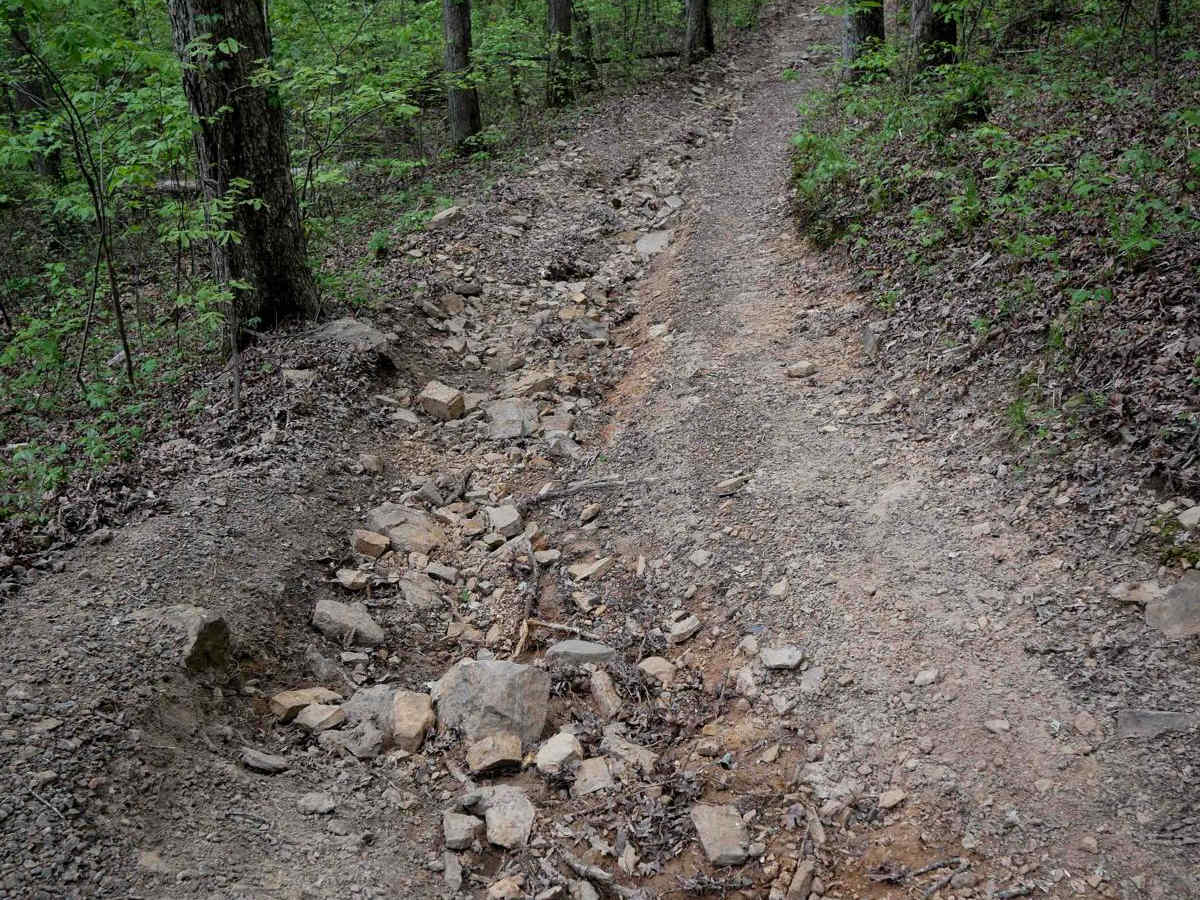
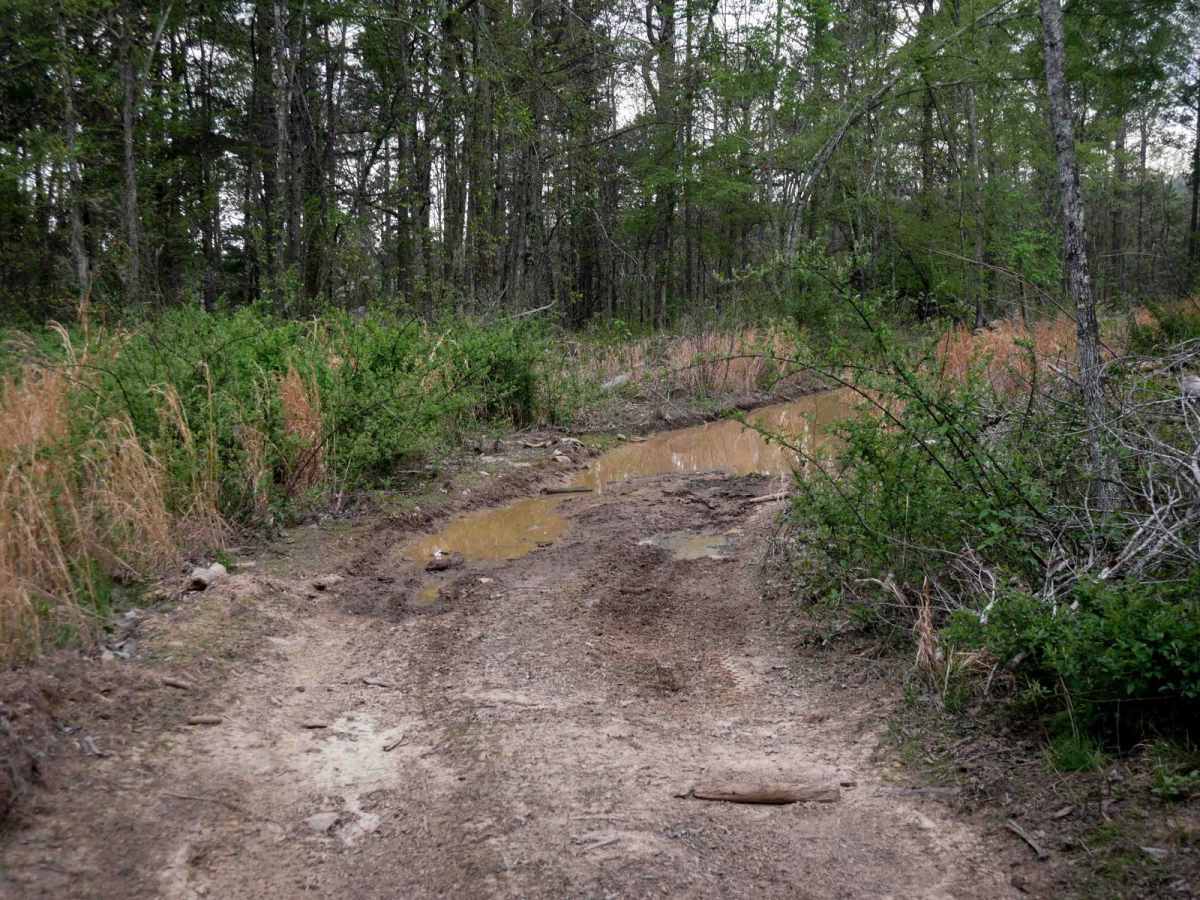
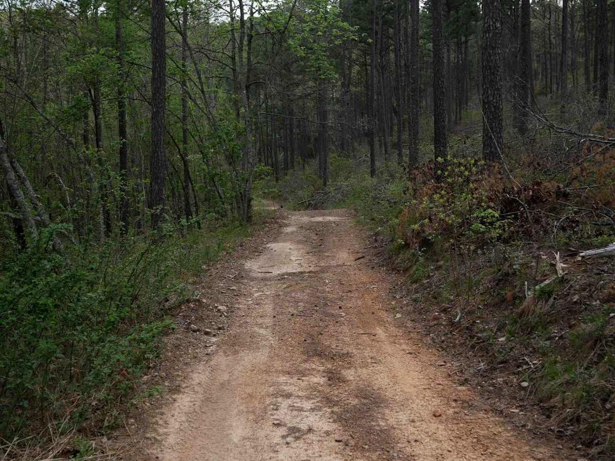
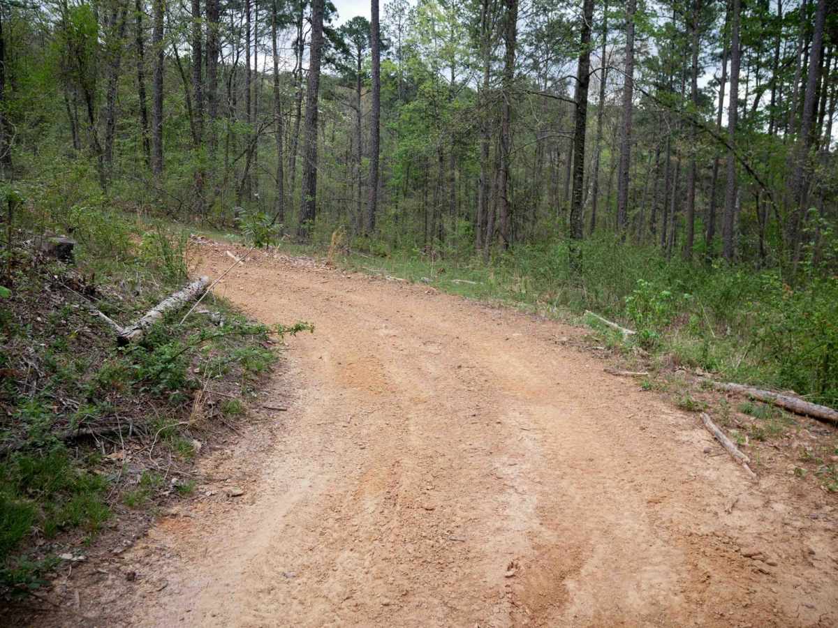
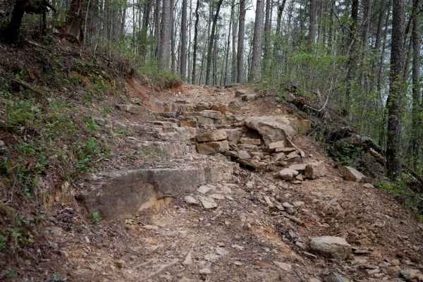
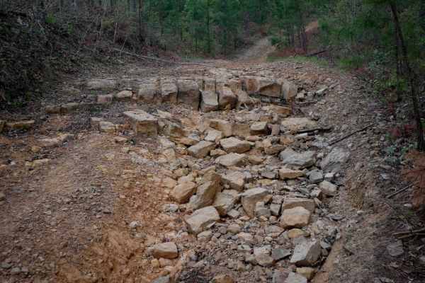
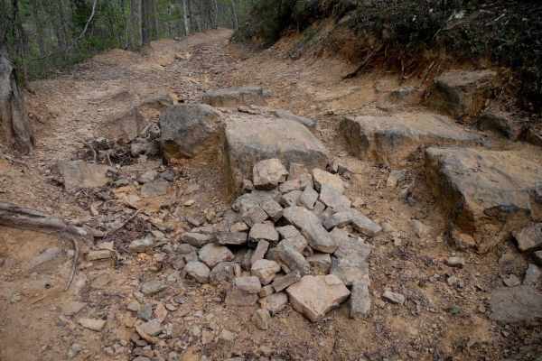
Located within the Ozark National Forest near Russellville, Arkansas, this trail branches off of the High Mountain Loop and is considered one of the easier routes within the Moccasin Gap Trail System. On the north end, starting at intersection W, the trail follows a smooth, fast, and flowy two-track path through forested terrain, descending from the intersection with Loop B for a quarter mile, then climbing back up for almost 2 miles to an intersection with the dirt road. It follows the road for a short time, then spurs off the road at an easy-to-miss intersection, descending back into the forest on a rutted, narrow two-track. The last mile goes through some scenic, wide-open meadows as it heads towards 2307B, which will take you to the Treat Road Staging Area. Obstacles throughout the 3-mile route are minimal - only occasional small logs across the trail, low branches sticking out, and fewer large rocks than the surrounding trails. It features long mud puddles spanning the width of the trail, with uncertain depths that may require caution.
Difficulty
This is an easier ATV trail with very few features except a couple of small logs, mud puddles, and ruts, and should be manageable by almost any skill level.