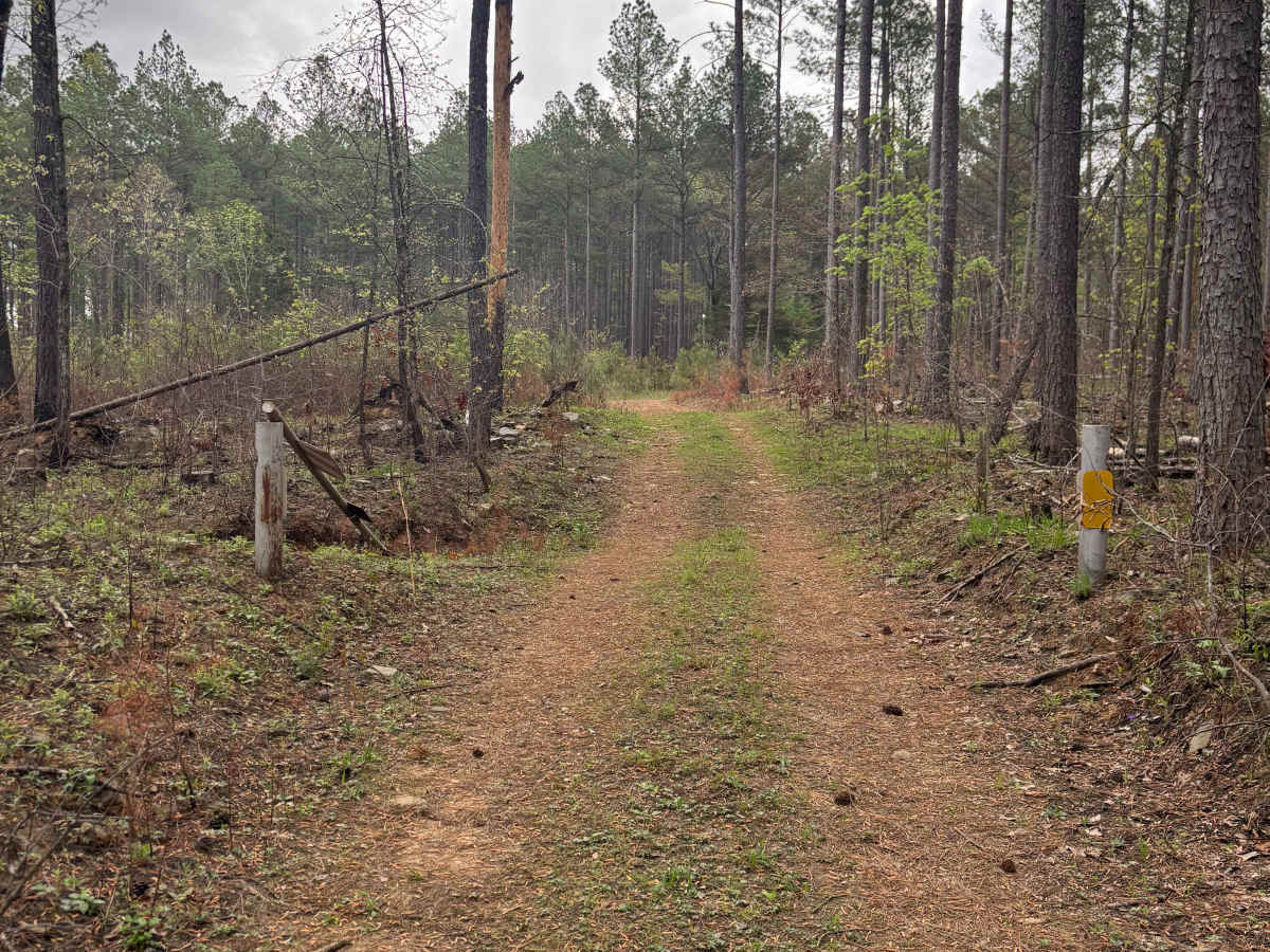
Trail Overview
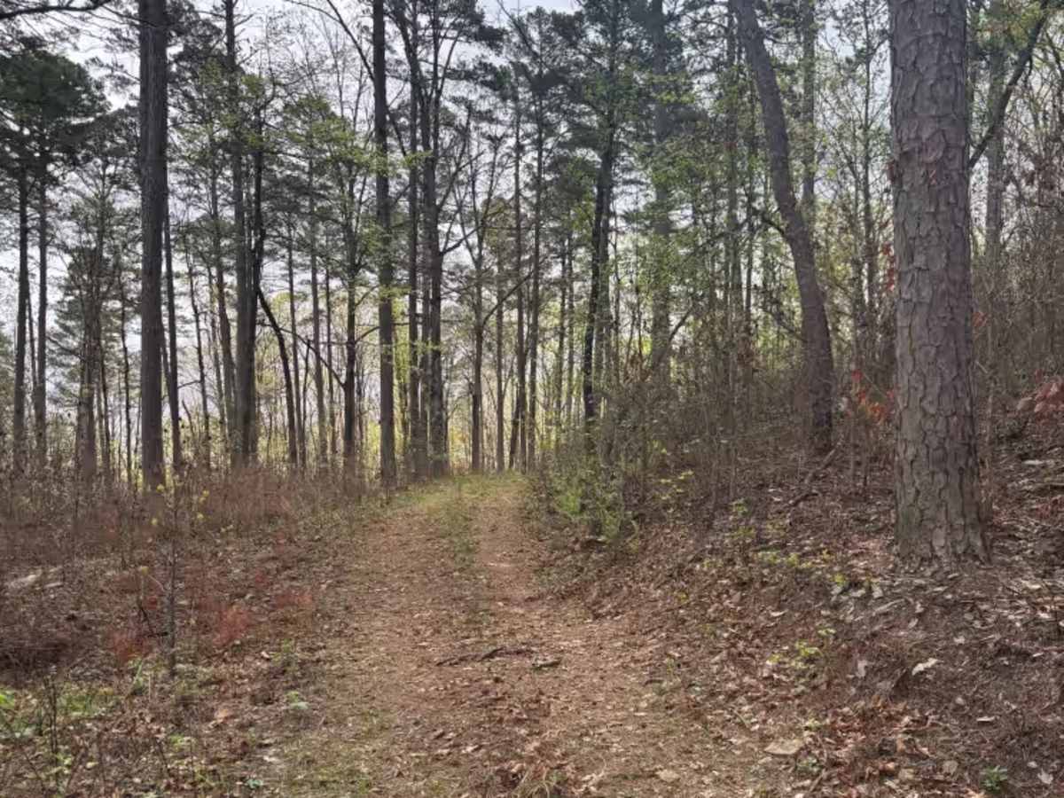
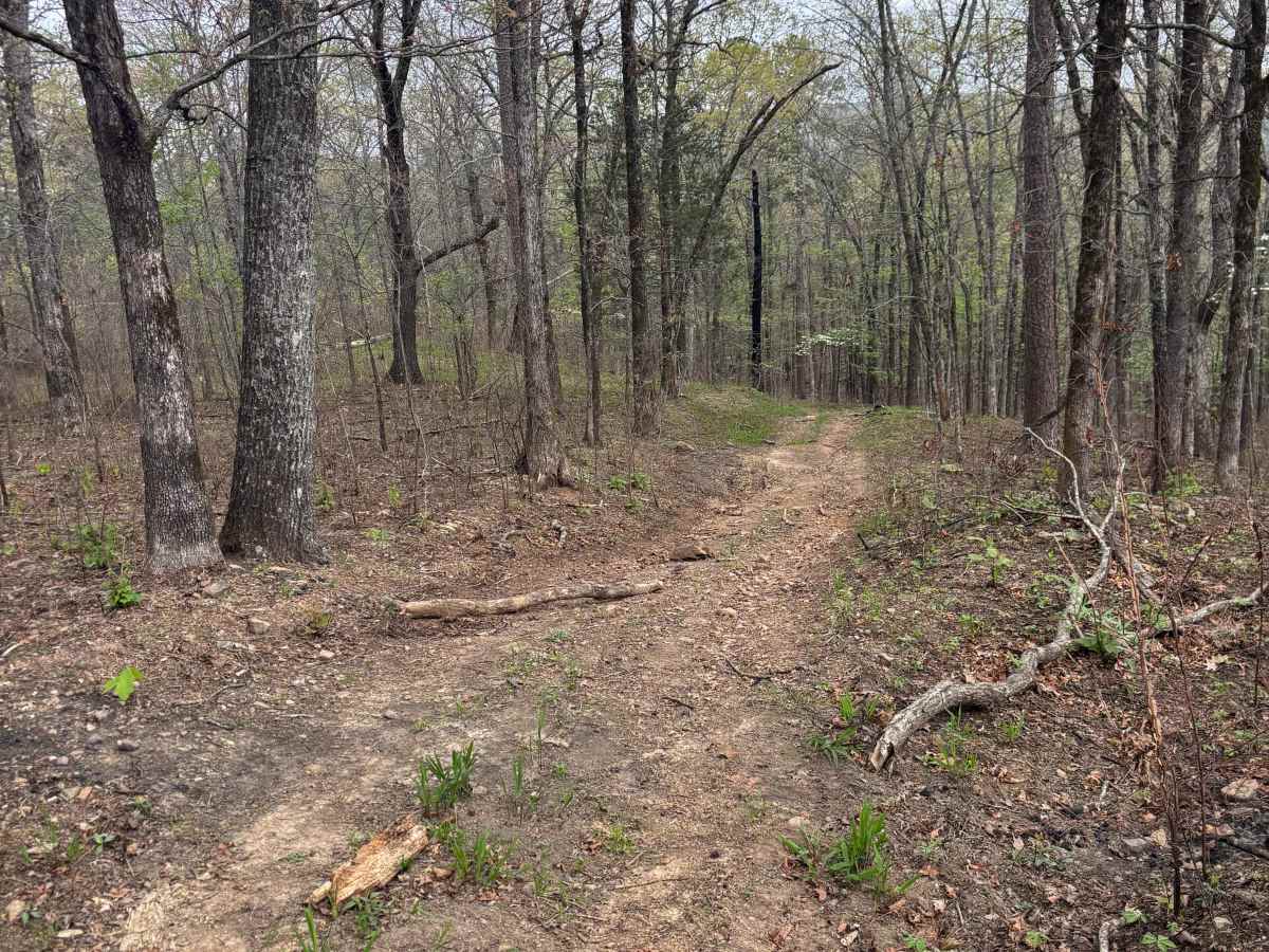
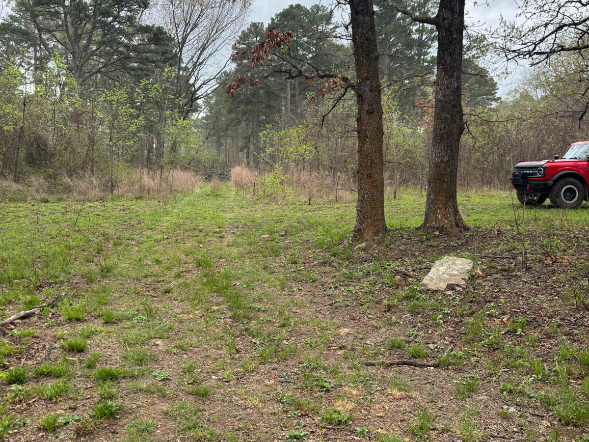
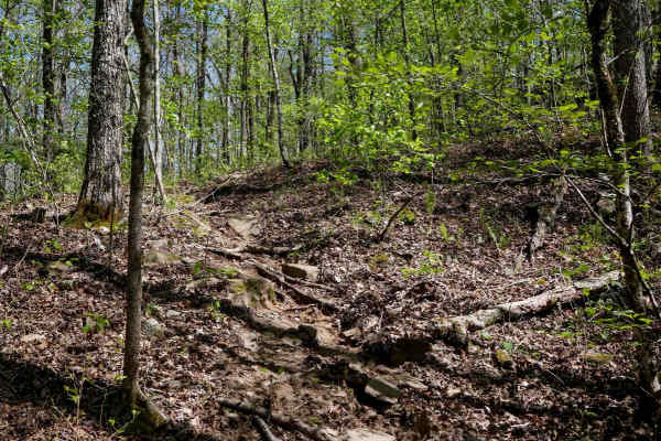
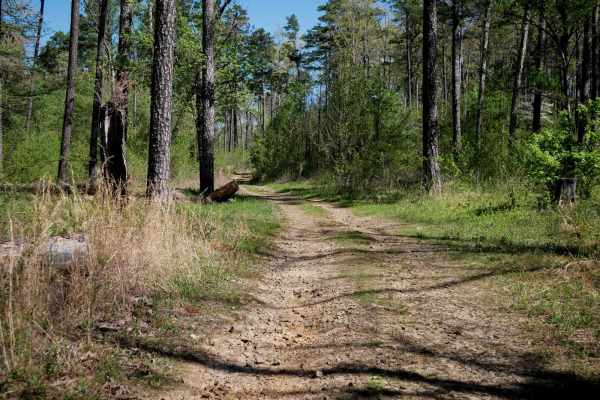
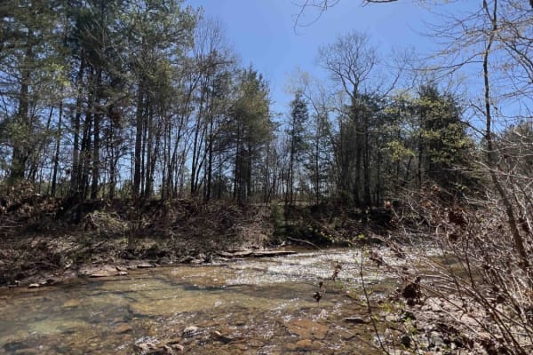
The Tackett Mountain Summit Trail is a quiet, moderately challenging route that rewards drivers with a remote and peaceful summit experience. The trail begins with a gate that is sometimes closed, so access may vary, and winds through a mix of pine and hardwood forest. Along the way, several downed trees require careful navigation, though bypasses are available. Due to past RX burns, some areas have fallen trees and sections of the old trail that are now overgrown and unusable. The route currently ends short of the map’s indicated path, creating a natural turnaround point. The trail surface is moderate dirt with natural terrain, including narrow sections with tree obstacles and debris. At the summit, a large open, flat area provides an ideal spot for camping, picnicking, or taking a break. The location is remote and free from road noise, offering only the sounds of wind, birds, and the tranquility of the Ozarks. Visitors can also enjoy scenic views of the surrounding landscape, with spring wildflowers and fall foliage adding to the experience.
Difficulty
High clearance is needed for sections with fallen trees. Uneven terrain and occasional narrow sections. Navigational skill is needed to handle bypass routes around obstacles. Although not extreme, this trail is more challenging than typical gravel roads and is suited for experienced drivers who enjoy light technical obstacles.