Trail Overview
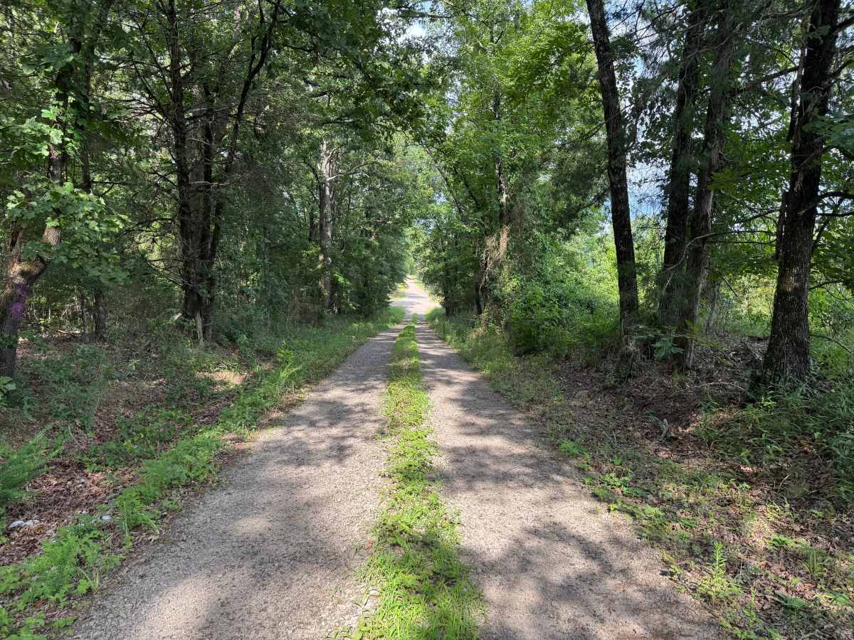
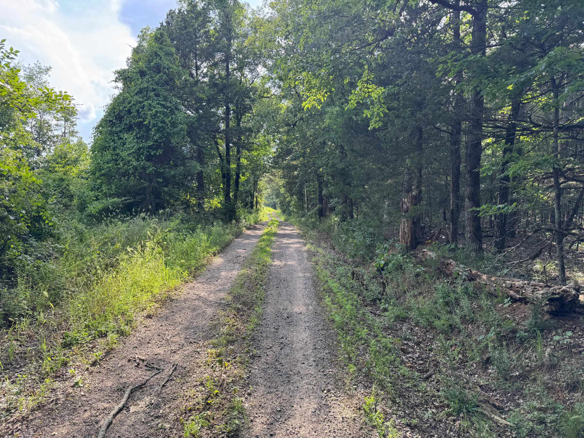
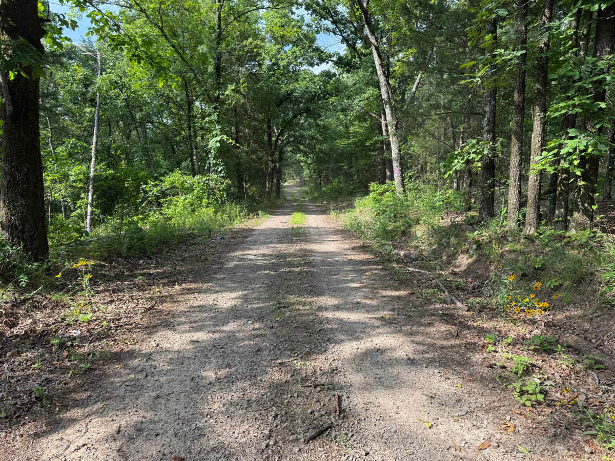
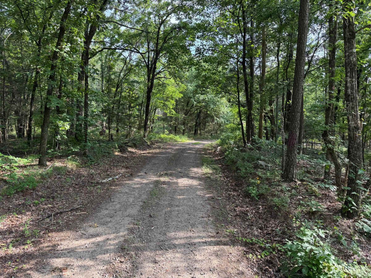
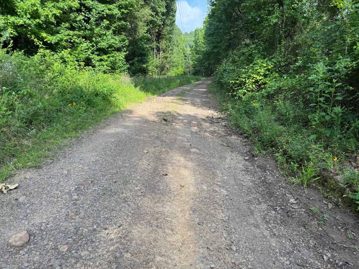
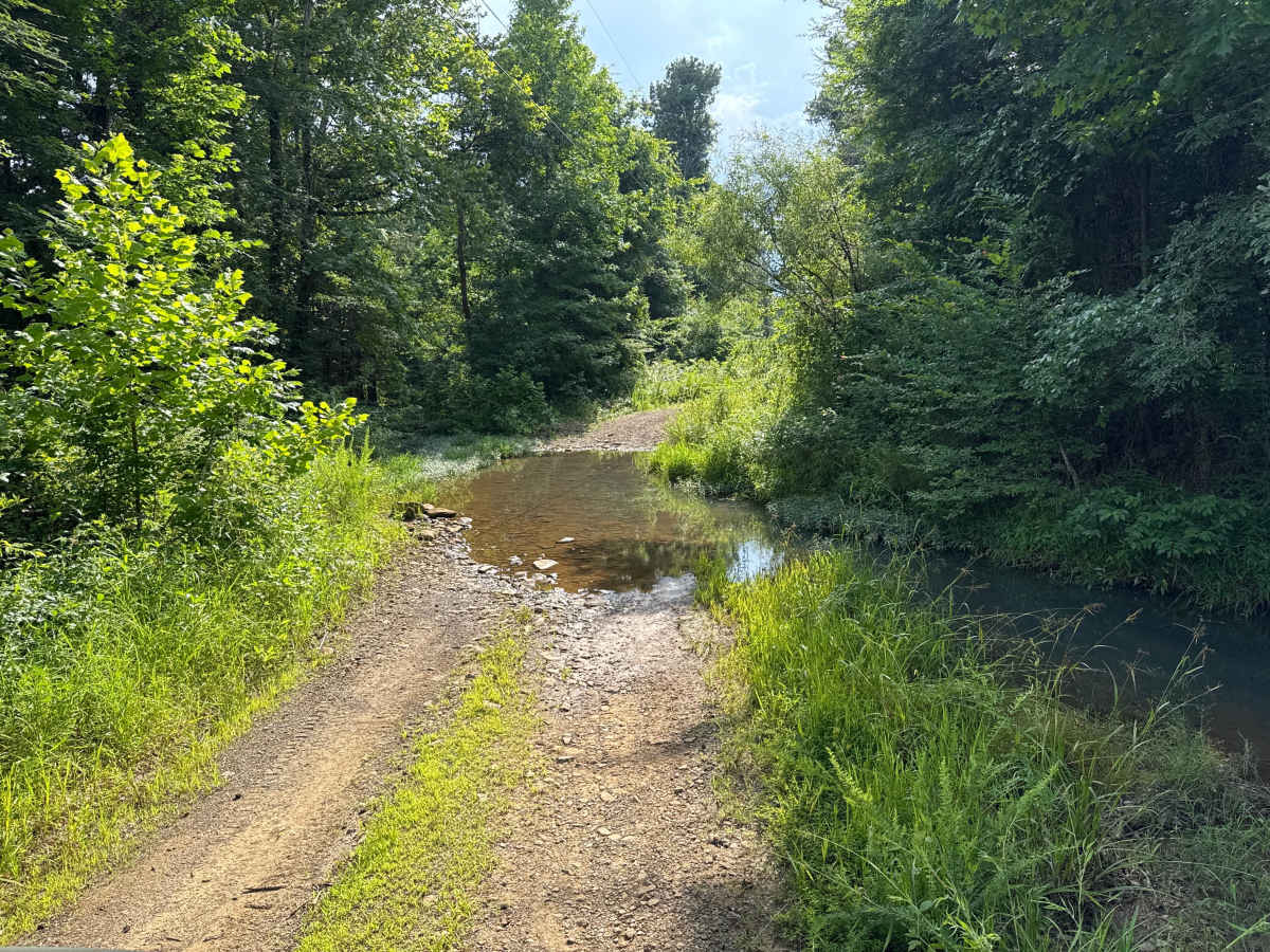
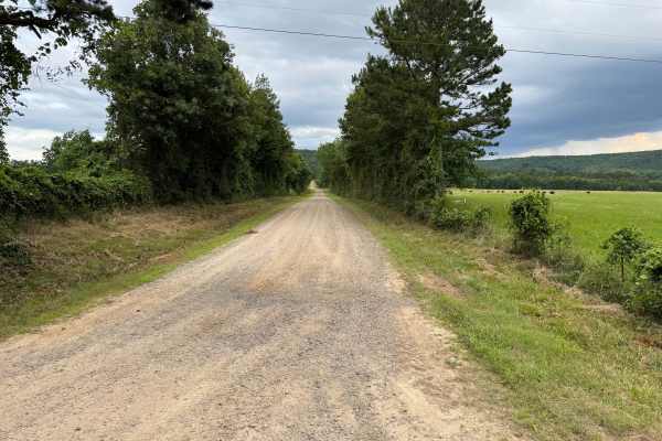
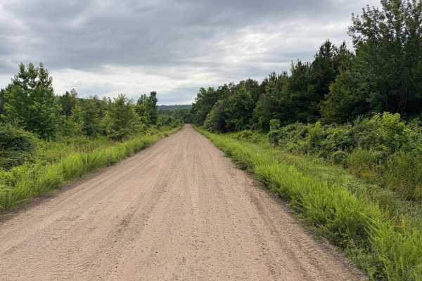
This scenic forest route follows a narrow, single-vehicle-wide track with very few places to pull over, so be prepared to yield if you encounter oncoming traffic. Towering hardwoods and pines create a peaceful, shaded drive, with sections where the tree canopy nearly encloses the road. The route winds through dense woodland, passing small clearings, native wildflowers, and lush vegetation that give it a remote feel. Drivers should watch for several erosion dips where runoff has washed across the road, along with two shallow creek crossings. Water depth can increase after heavy rainfall, so check conditions before attempting the crossings. The gravel and dirt surface is generally easy to navigate but can become rougher near the creek approaches where loose rock is present. The route also passes private property, so remain on the public roadway and respect all landowner boundaries. Wildlife is common throughout the area, with deer, birds, turtles, and other small animals frequently seen along or crossing the road.
Difficulty
This route is suitable for most high-clearance AWD and 4WD vehicles in normal weather. The narrow, single-lane road requires drivers to watch for oncoming traffic, and several erosion dips can cause moderate suspension articulation. Two shallow creek crossings are the primary obstacles and should be evaluated after periods of heavy rain, as water depth and current can increase. The gravel and dirt surface is otherwise straightforward with no steep climbs, large ledges, or technical rock obstacles. During dry conditions, experienced drivers should have little difficulty completing the route, while recent rainfall may raise the challenge slightly due to muddy conditions and higher water levels.
History
The Ozark National Forest was established in 1908 and today forms part of the Ozark-St. Francis National Forests, protecting more than one million acres across northern Arkansas. Many of the Forest Service roads traveled today began as logging, fire access, or resource management roads before becoming part of the modern recreation network. Forest management continues to play an important role in maintaining healthy ecosystems through timber management, prescribed fire, wildlife habitat restoration, and watershed protection. The rugged Boston Mountains and surrounding Ozark Highlands remain one of the oldest and most geologically significant mountain regions in North America, offering visitors a unique combination of natural beauty and rich forest history.