Trail Overview
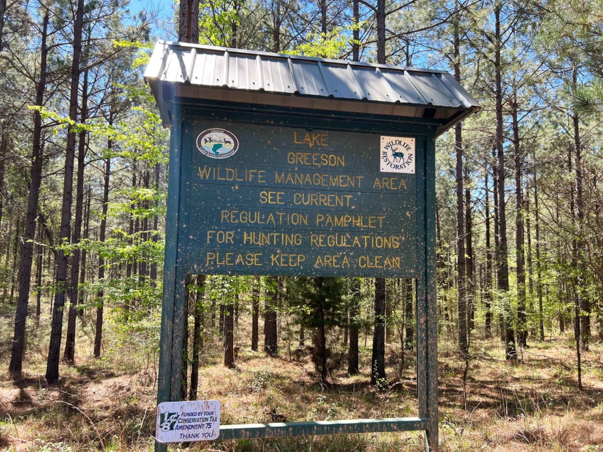
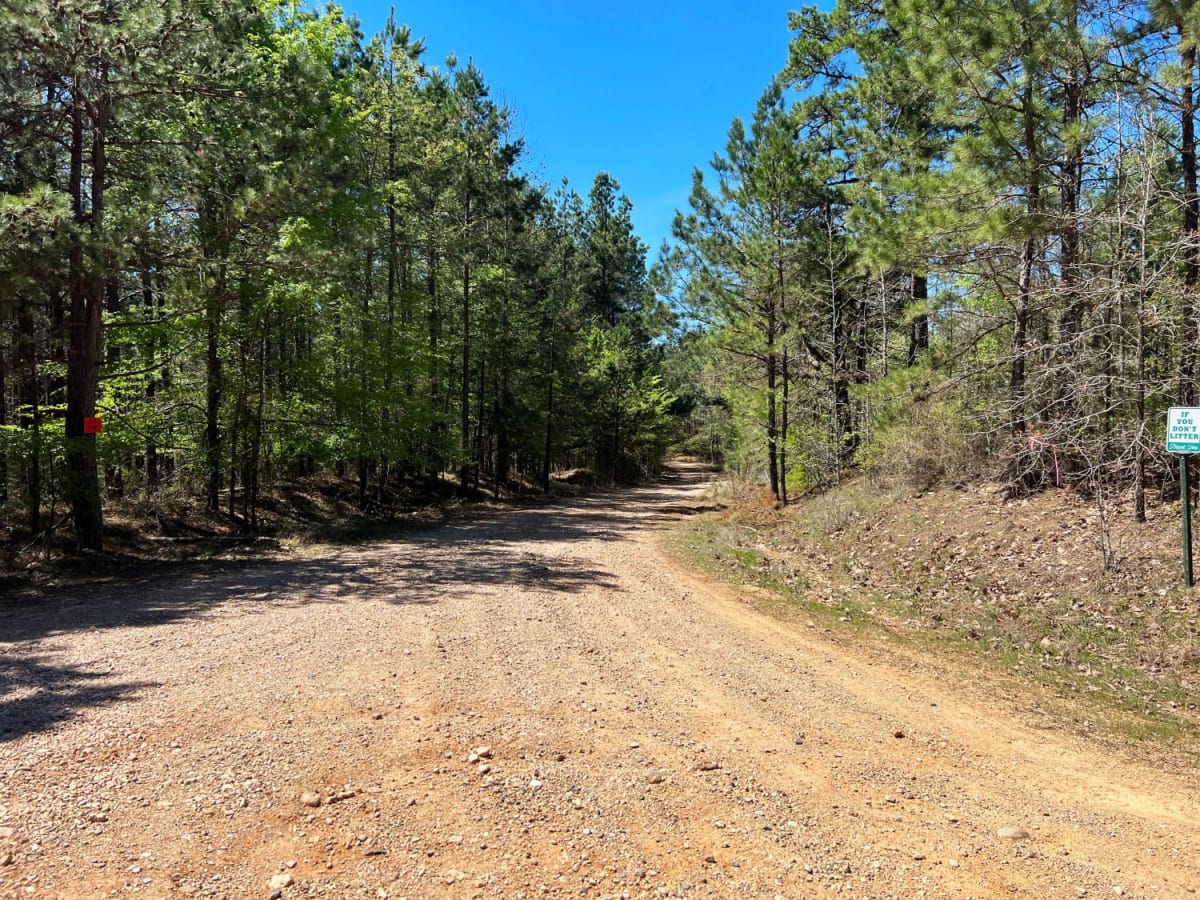
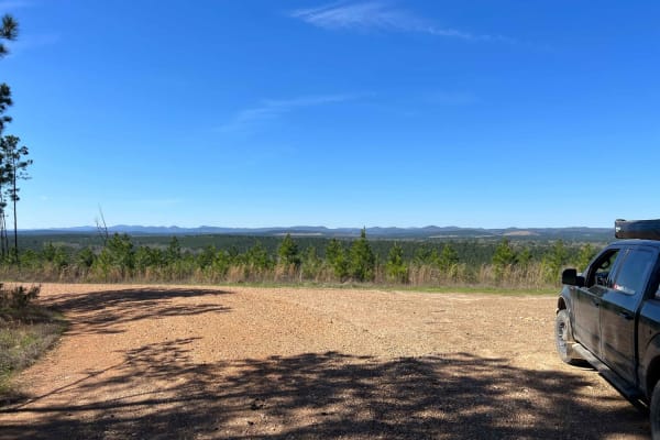
This scenic, 9.3-mile intermediate route winds through the remote woodlands and rolling hills of western Arkansas near the shores of Lake Greeson. Traversing a mix of private timberlands and the Lake Greeson Wildlife Management Area, the gravel and dirt road features elevation ranges from 561 to 754 feet.
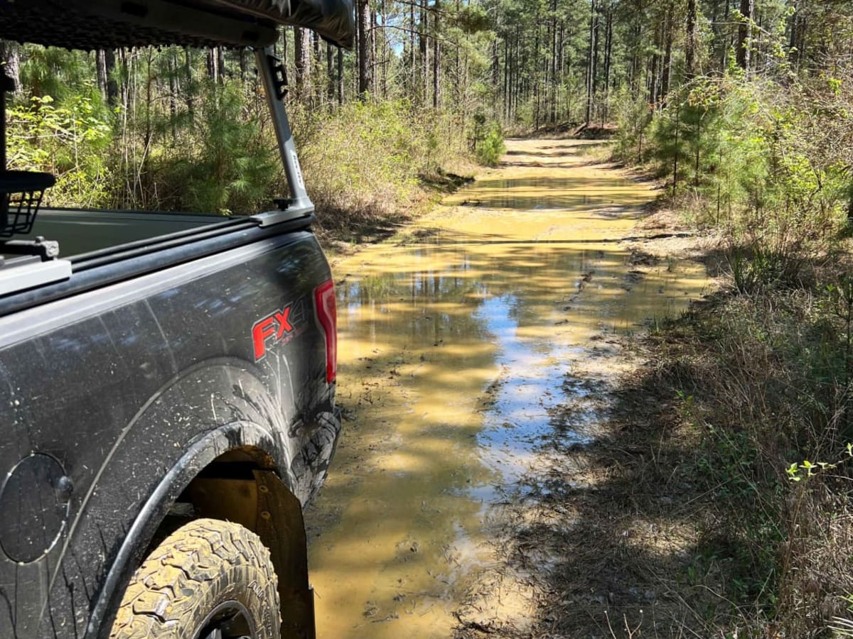
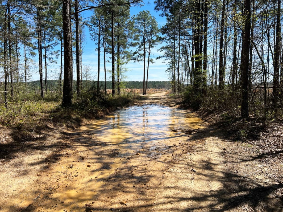
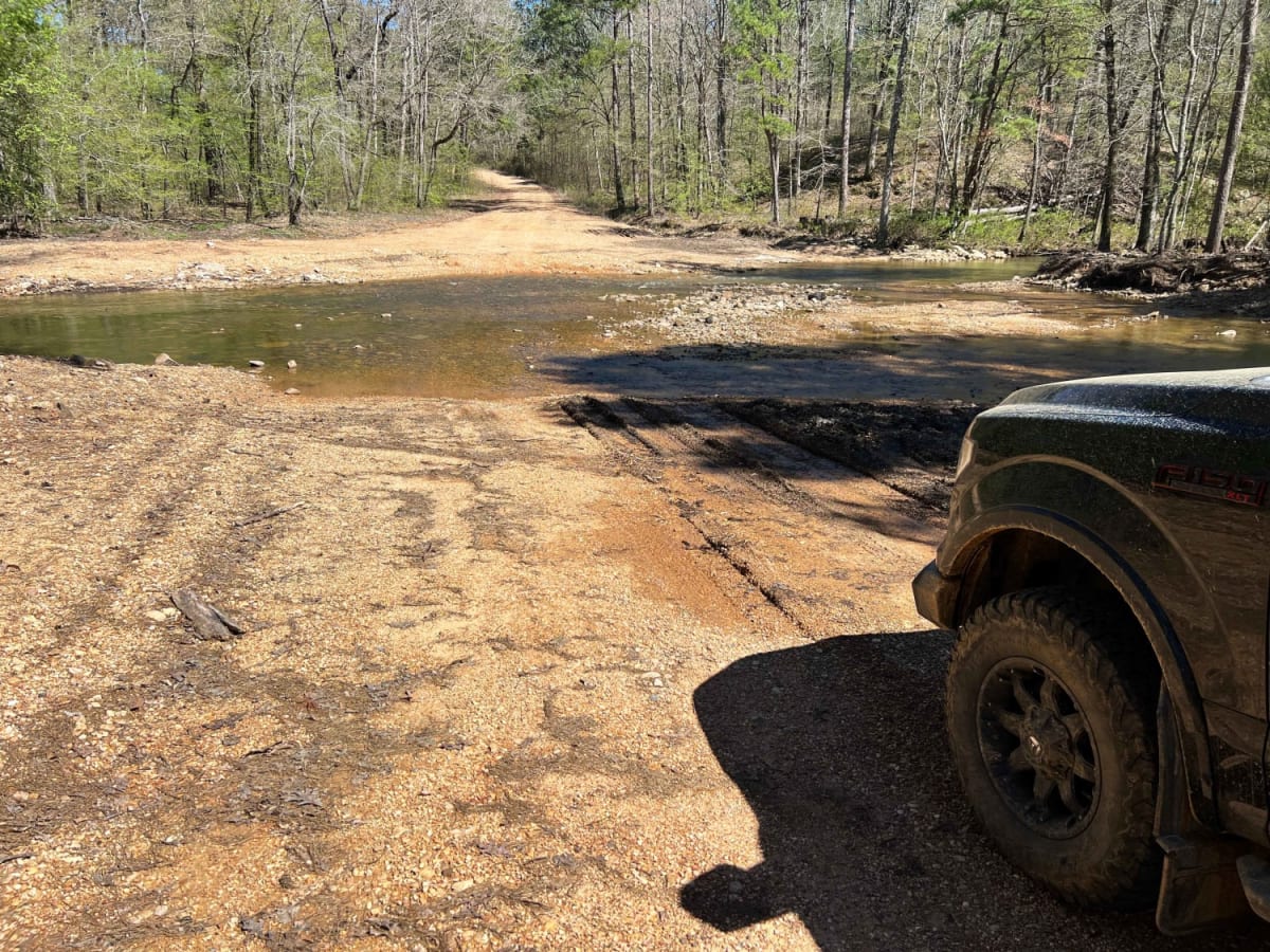
While mostly gravel, heavy rains quickly create deep, soft mudholes. The main obstacle is the Rock Creek water crossing near the end, which can become deep and swift during wet periods. High-clearance 4x4 vehicles are highly recommended.
Access Description
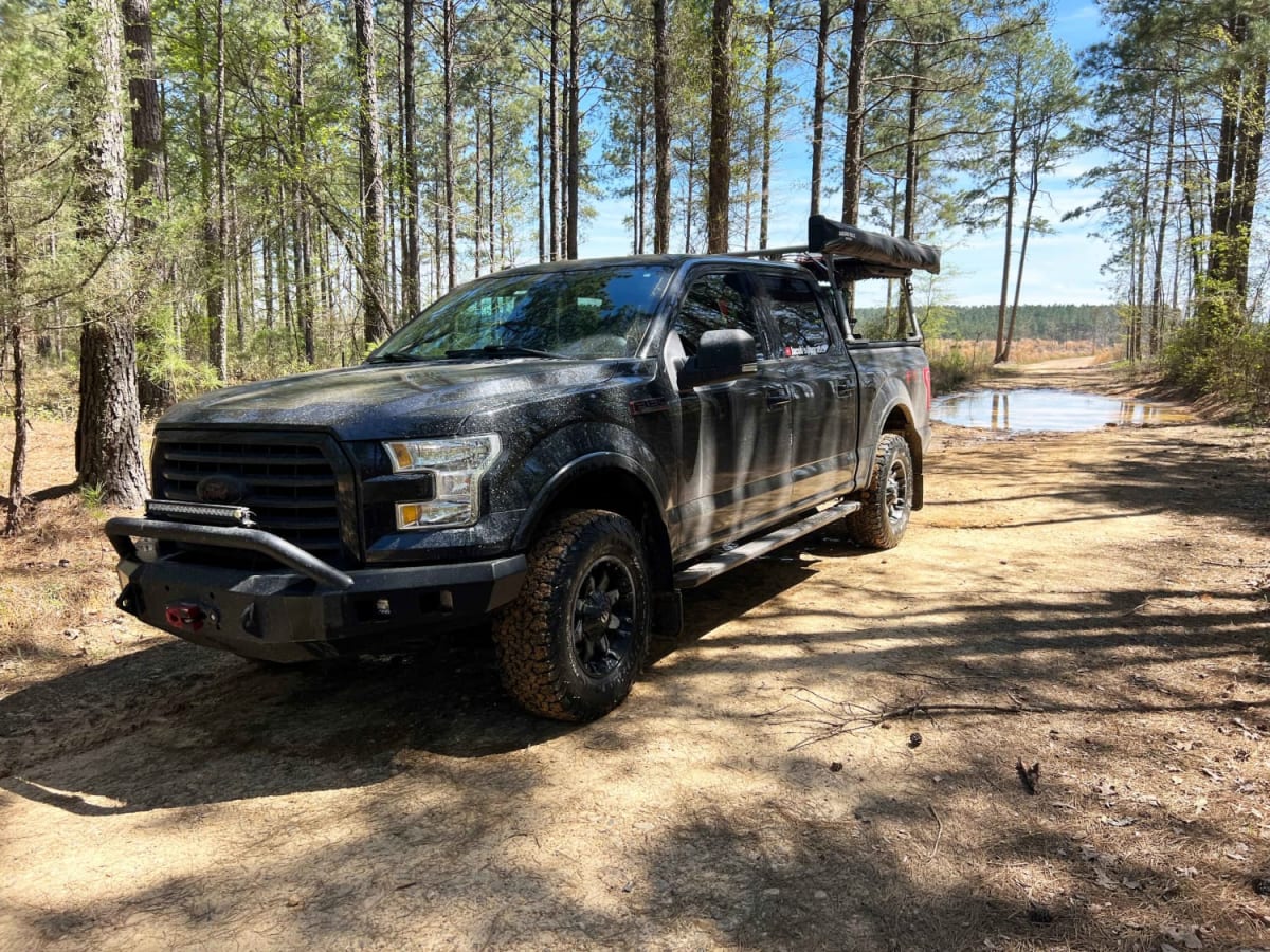
The route winds through a mix of private timberlands and the Lake Greeson Wildlife Management Area (WMA). Offroaders must respect private property boundaries, stay on the designated trail, and be aware of seasonal hunting regulations managed by the Arkansas Game and Fish Commission. High-clearance 4x4 vehicles are highly recommended, particularly after heavy rains when mudholes deepen and the Rock Creek crossing becomes high.