L4

Total Miles0.1
Technical Rating
6Moderate
Best TimeSpring, Summer, Fall, Winter
Trail TypeFull-Width Road
Accessible By
Open Trail Map

Trail Overview

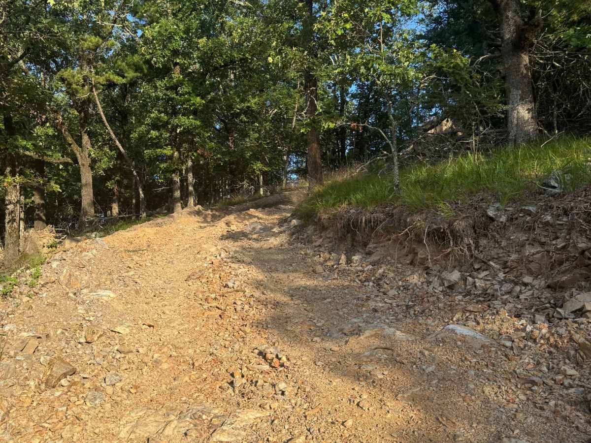
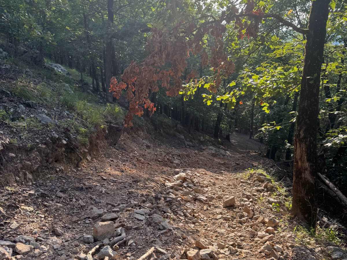
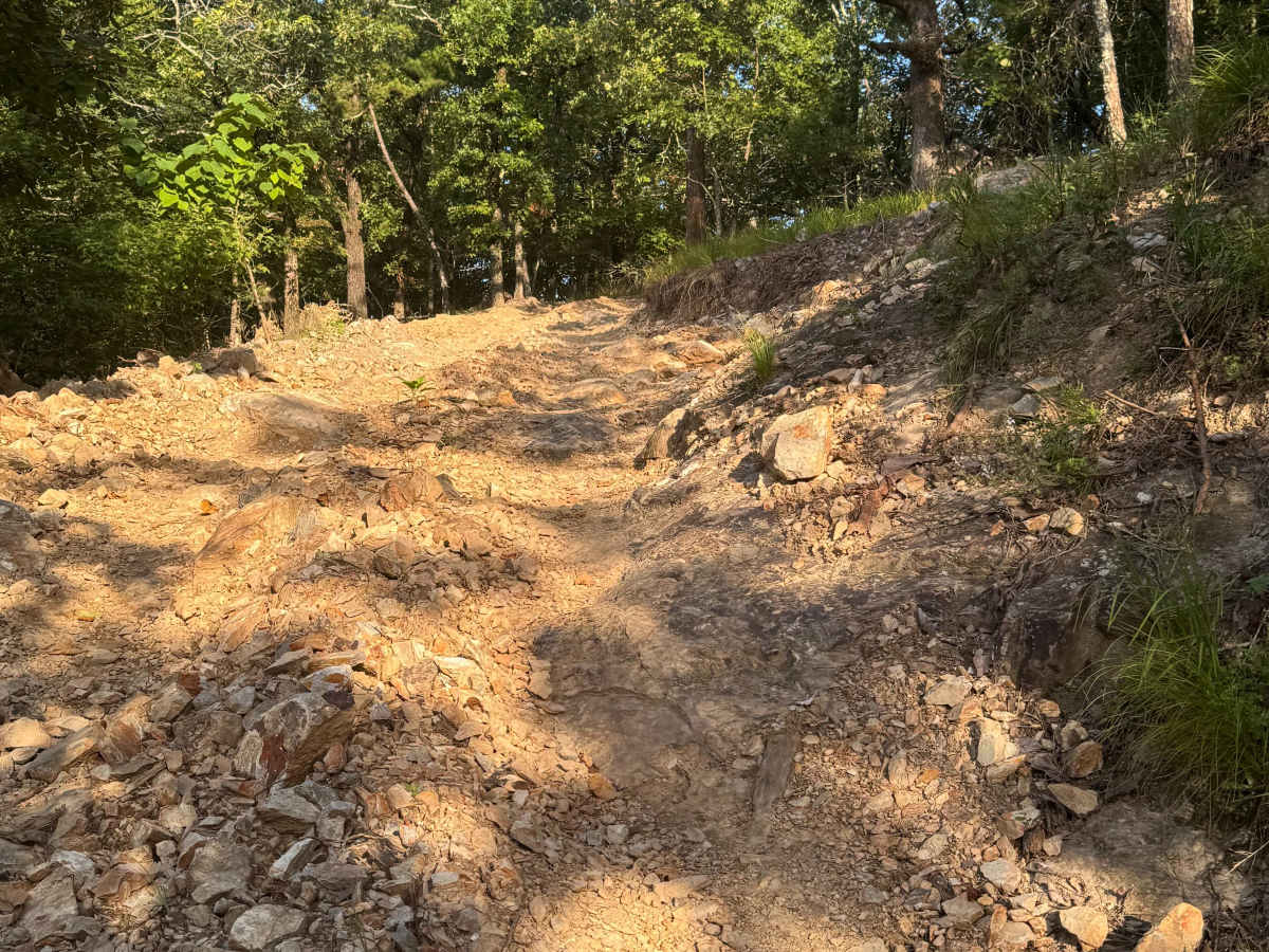
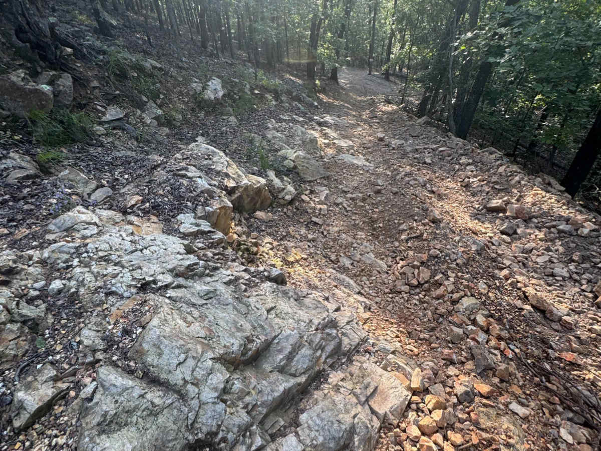
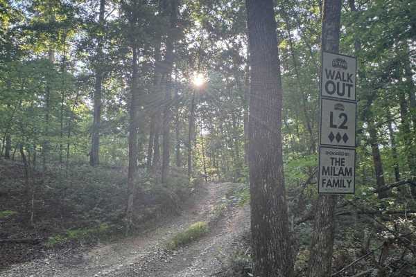
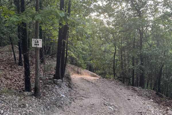
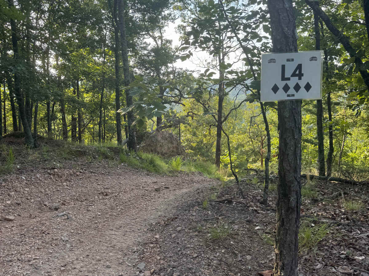
L4 is a two-way connector trail that plays an important role in linking the L-section to the H-section and its nearby overlooks. Though the Park rates this trail as a 4-Diamond on a 5-Diamond trail rating scale, it’s considered on the easier end of that category. The trail surface consists of very loose rock with scattered small boulders, and it winds through a shaded section of the Park. Drivers will encounter two narrow boulder obstacles that demand careful tire placement, adding a bit of technical interest to an otherwise moderate route. L4’s strategic location makes it a key transition trail for those exploring deeper into the 400-Side of the Park. A Park Day-Use Trail Pass is required to access this system of trails. Cell service is spotty in places, and trail conditions can change quickly, especially after heavy rain or during winter months.

Photos of L4

Difficulty

Very rocky, rutted and off-camber trail with erosion, loose rocks, sand, washes and obstacles up to 3 feet tall, including ledges and short, steep grades.

Technical Rating

6

L4 Trail can be accessed by the following ride types:

  • 60 Inch
  • High Clearance
  • Full Width

L4 Map

The onX Offroad Difference

onX Offroad combines trail photos, descriptions, difficulty ratings, width restrictions, seasonality, and more in a user-friendly interface. Available on all devices, with offline access and full compatibility with CarPlay and Android Auto. Discover what you're missing today!

Open Trail Map