Trail Overview
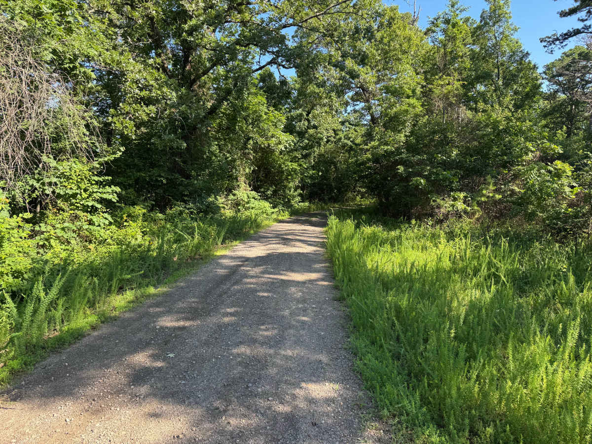
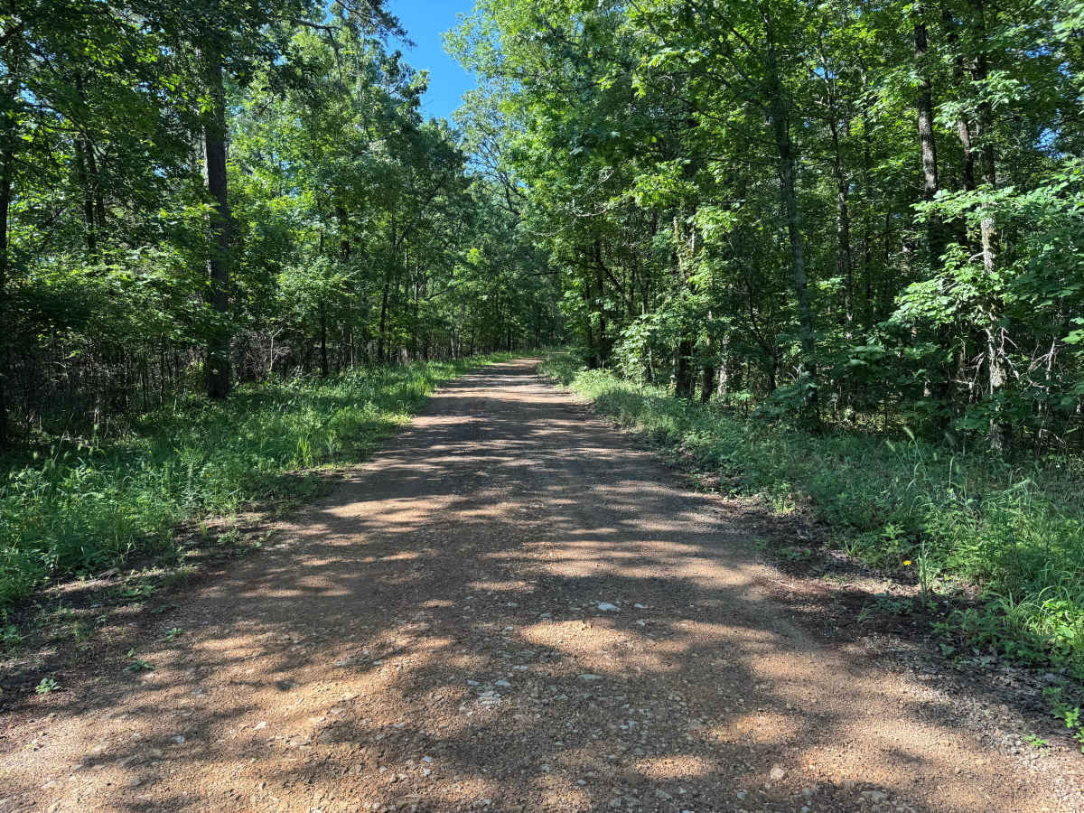
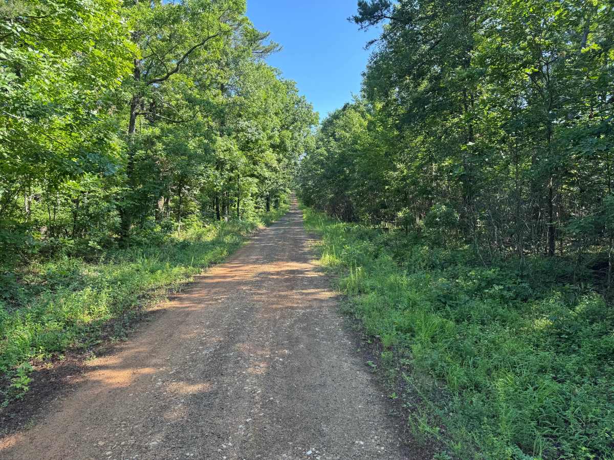
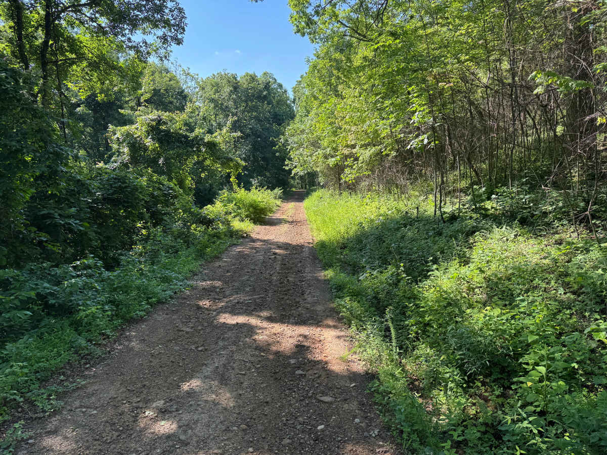
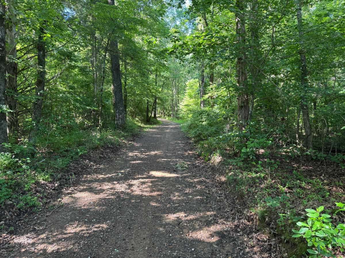
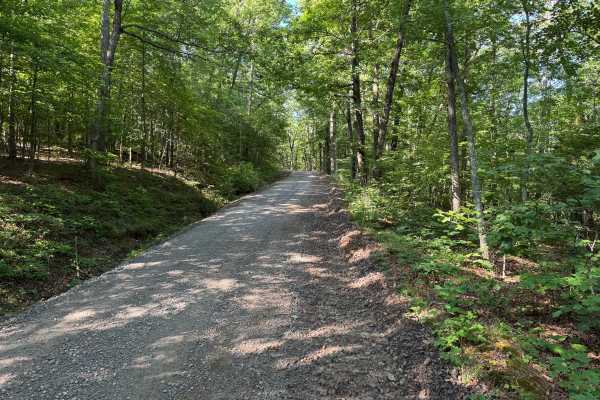
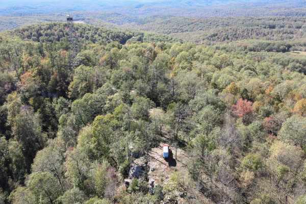
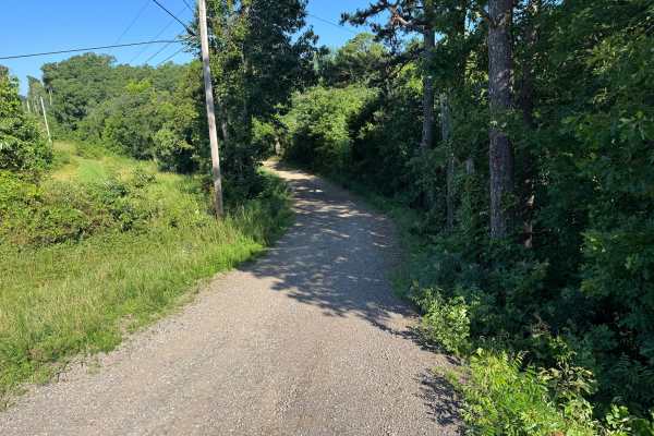
This mostly maintained gravel route offers a relaxing drive through the heart of the Ozark National Forest, winding over gentle hills beneath a dense canopy of hardwoods and pines. The road alternates between long straightaways and gradual curves, with sunlight filtering through the trees and creating a peaceful atmosphere. Along the route, you'll notice the area's distinctive green-stained rock outcroppings, a unique geological feature that adds character to the landscape. Near the end of the route, the forest briefly opens to a wide clearing with expansive sky views, making it an excellent place to pull over for a break, enjoy a snack, or connect to satellite internet services such as Starlink before continuing. The route eventually reaches farmland where you will need to turn around and retrace your path.
Difficulty
There are no significant obstacles, though expect occasional whoops, shallow dips, minor water erosion, and scattered rocks protruding less than 8 inches above the surface that may create a slightly rougher ride. As with any forest road, be prepared for possible downed trees or wildlife crossings, and please respect the boundaries of the private properties located near the end of the route.
History
The Ozark National Forest was established in 1908 and today forms part of the Ozark-St. Francis National Forests, protecting more than one million acres across northern Arkansas. Many of the Forest Service roads traveled today began as logging, fire access, or resource management roads before becoming part of the modern recreation network. Forest management continues to play an important role in maintaining healthy ecosystems through timber management, prescribed fire, wildlife habitat restoration, and watershed protection. The rugged Boston Mountains and surrounding Ozark Highlands remain one of the oldest and most geologically significant mountain regions in North America, offering visitors a unique combination of natural beauty and rich forest history.