Trail Overview
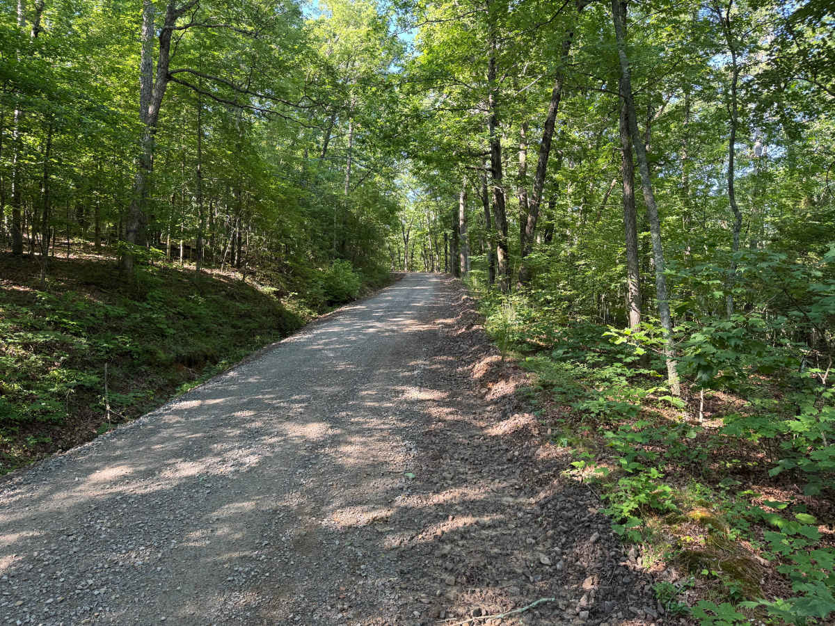
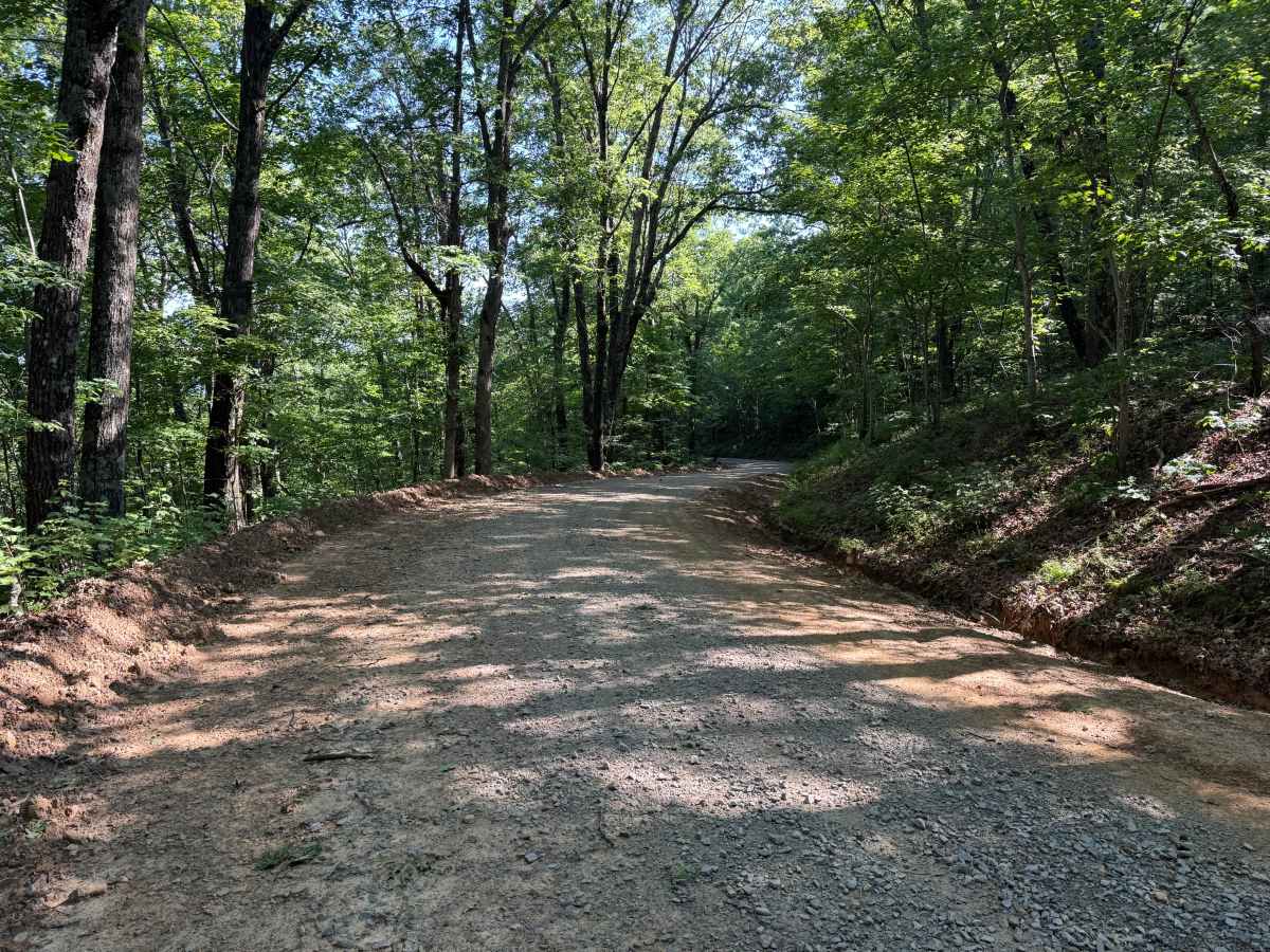
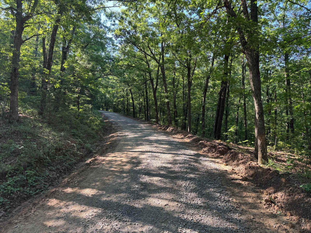
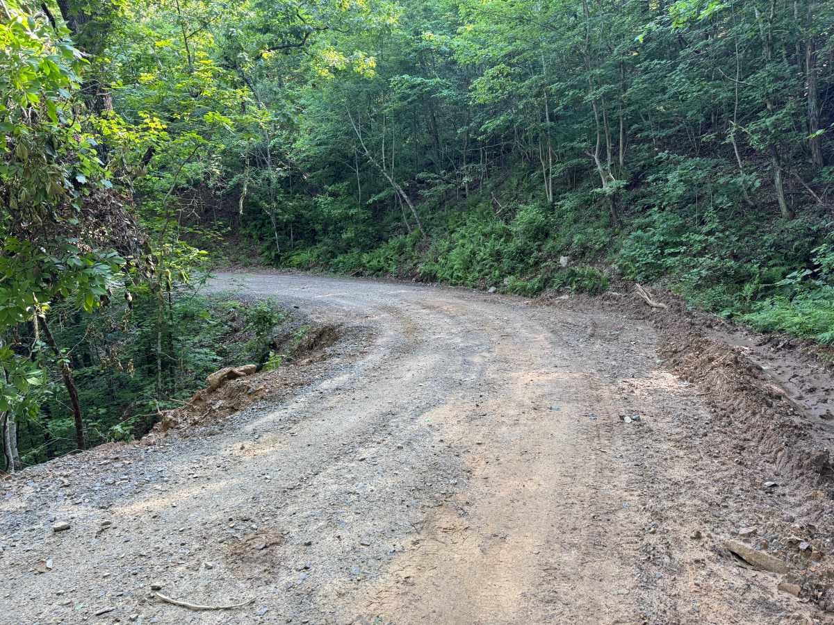
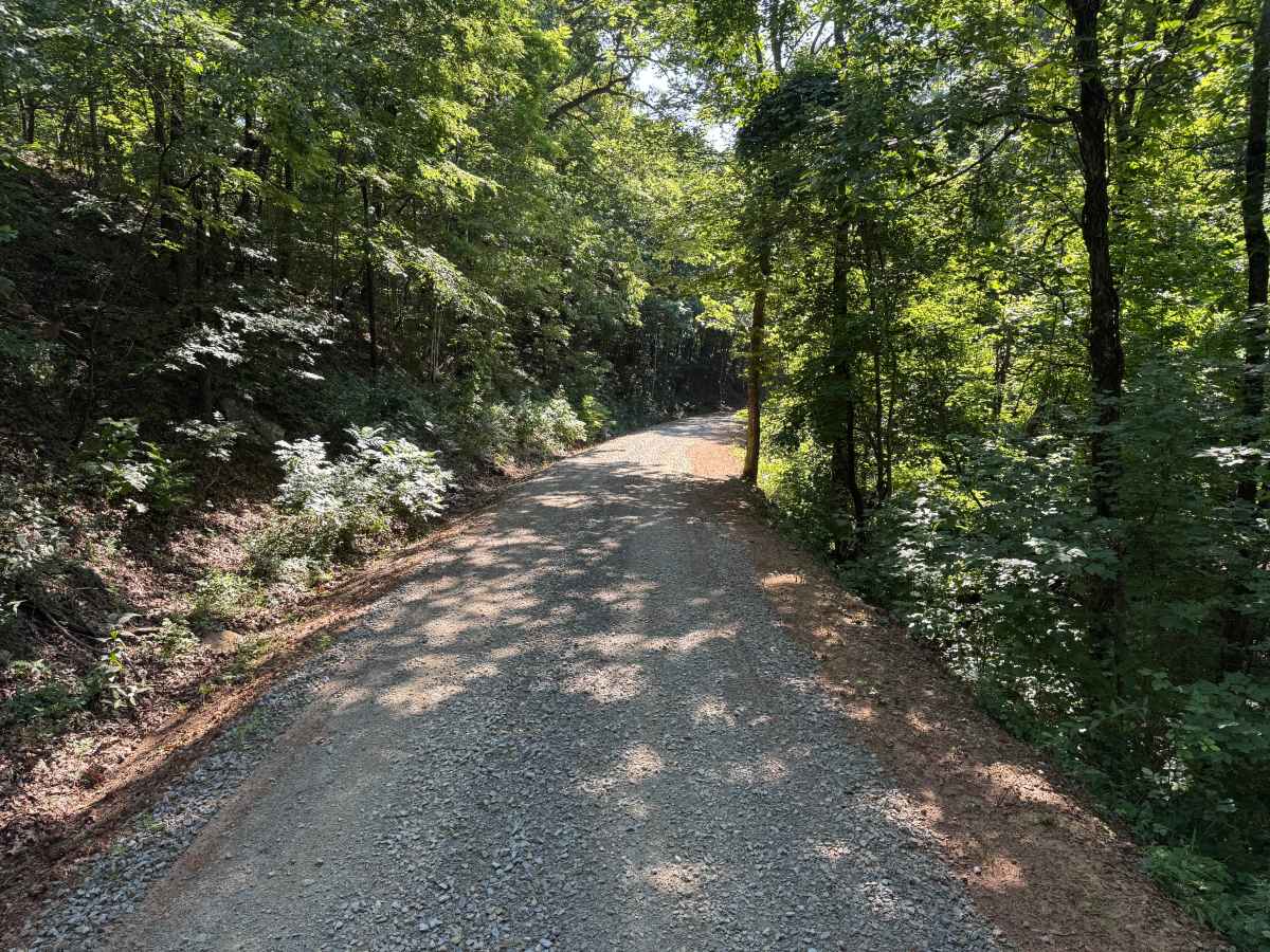
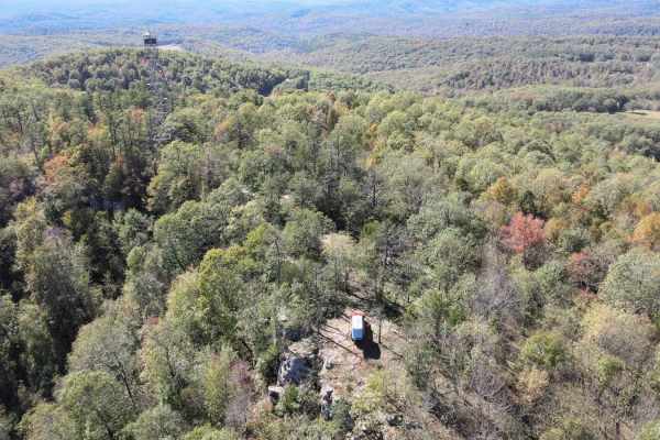
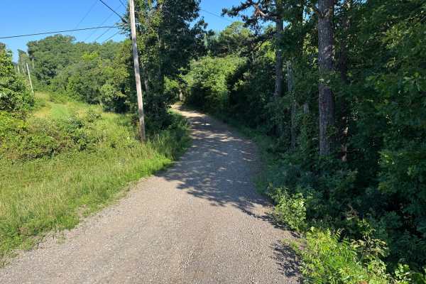
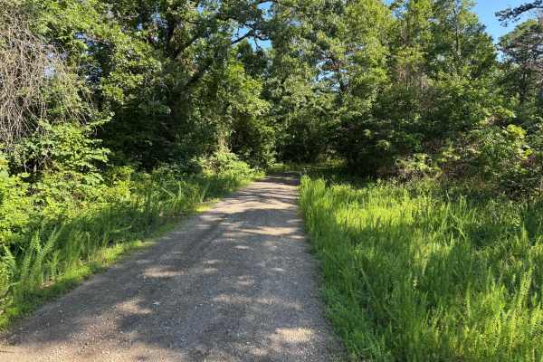
This route follows a well-maintained gravel road that winds around the mountainside beneath a dense canopy of mature hardwoods and pines. The broad roadway provides ample room for two vehicles to pass through most sections, making it a comfortable drive while still offering the peaceful feeling of being deep within the Ozark National Forest. Along the way, you'll encounter sweeping curves, gradual elevation changes, and occasional views of the area's distinctive green rock outcroppings exposed along the roadside. Sunlight filters through the trees, creating constantly changing patches of light across the gravel surface while the surrounding forest remains lush and quiet. Although there are no significant obstacles, watch for occasional downed trees, wildlife crossing the road, and a few outside corners where erosion has begun to narrow the roadway. The route passes several private properties, so please remain on the designated road and respect property boundaries throughout your drive.
Difficulty
The gravel surface is generally smooth with no significant obstacles, though drivers should remain alert for erosion along some outside corners, loose gravel, occasional downed trees, and wildlife. The road is wide enough for two vehicles to pass through most sections, making it an excellent scenic drive rather than a technical off-road challenge. Heavy rain may create washouts or increase erosion, but in typical conditions this is a straightforward forest road.
History
The Ozark National Forest was established in 1908 and today forms part of the Ozark-St. Francis National Forests, protecting more than one million acres across northern Arkansas. Many of the Forest Service roads traveled today began as logging, fire access, or resource management roads before becoming part of the modern recreation network. Forest management continues to play an important role in maintaining healthy ecosystems through timber management, prescribed fire, wildlife habitat restoration, and watershed protection. The rugged Boston Mountains and surrounding Ozark Highlands remain one of the oldest and most geologically significant mountain regions in North America, offering visitors a unique combination of natural beauty and rich forest history.