Trail Overview
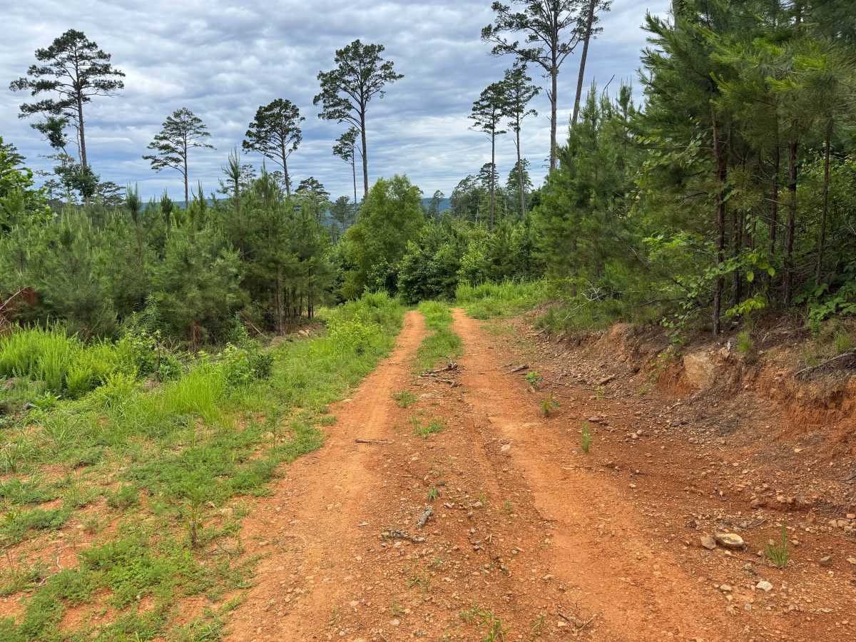
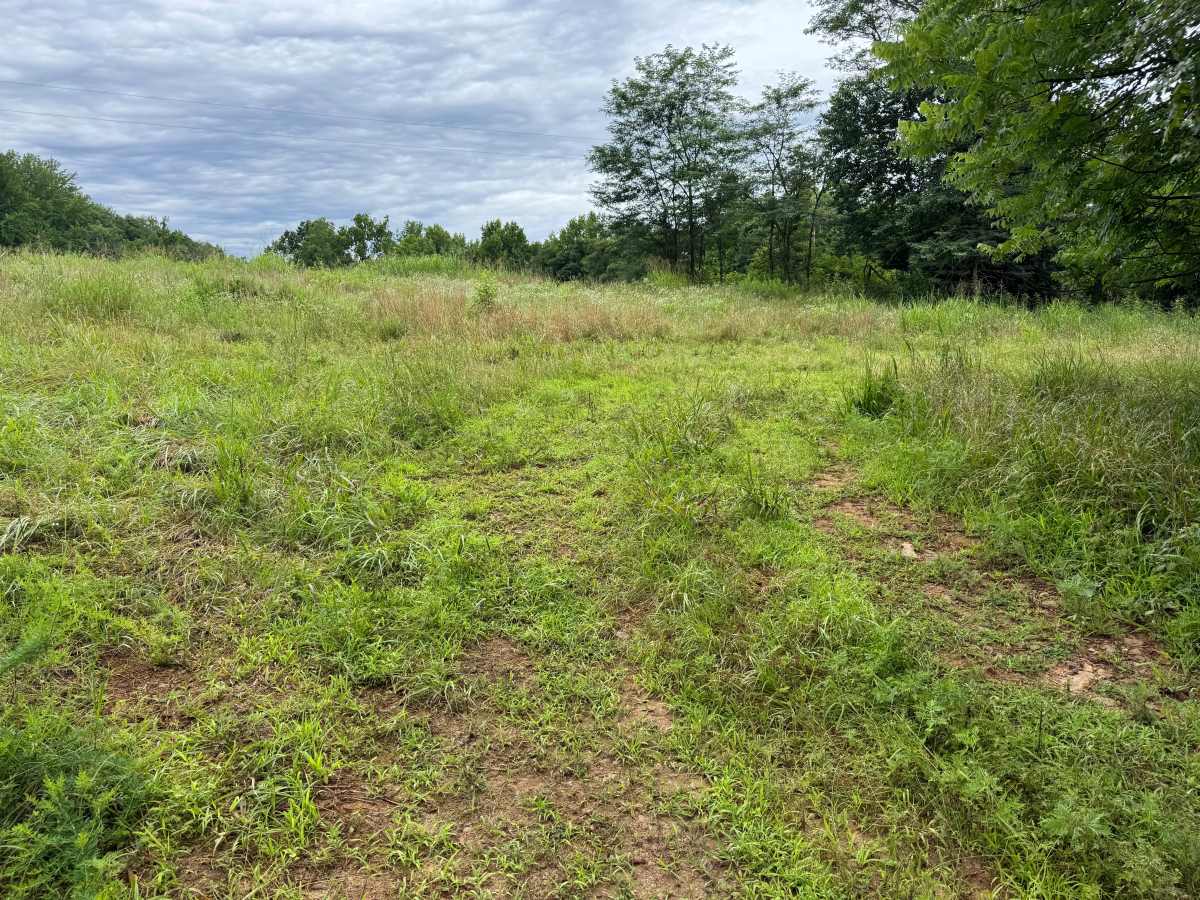
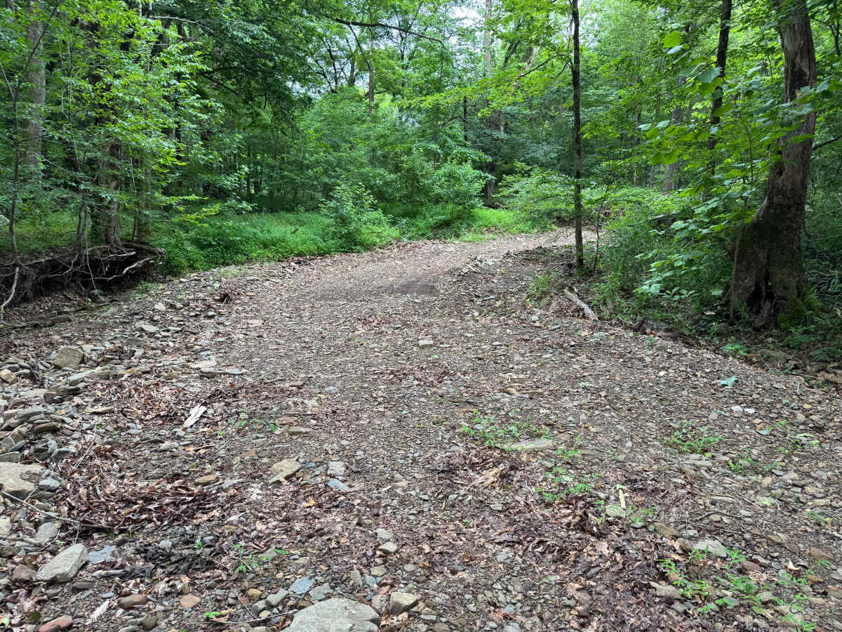
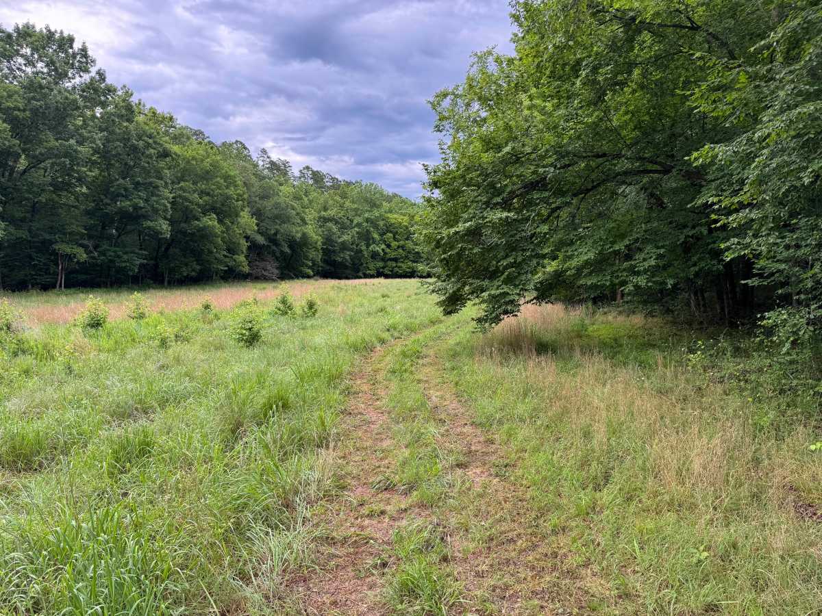
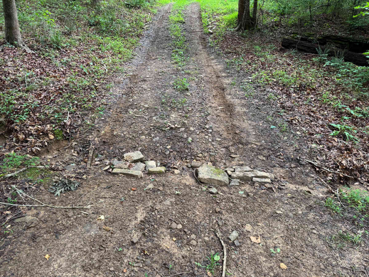
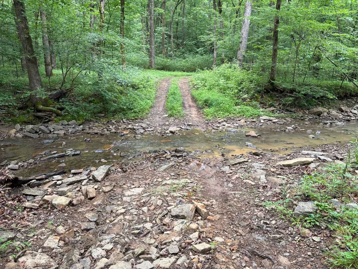
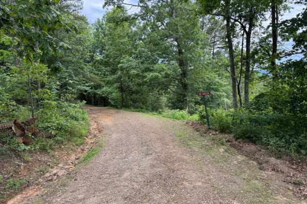
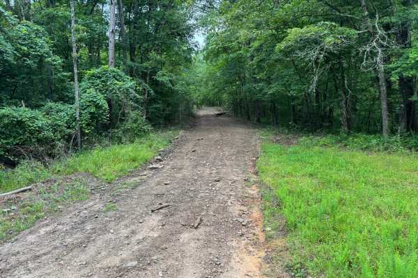
This narrow one-vehicle-wide route descends through a quiet hardwood forest toward Bull Creek before ending at a grassy clearing where drivers must turn around. The trail begins beneath a dense tree canopy before opening into scenic meadows with tall grasses, scattered young pines, and distant views of the surrounding ridges. Along the route, you will encounter two rock-bottom creek crossings, both of which can become more challenging after periods of heavy rain or elevated water levels. The road surface consists of dirt, gravel, and exposed rock with several water-eroded dips, ruts, and whoops. The most notable obstacle is a washed-out dip where rocks have been stacked to help smooth the crossing, though careful tire placement is still recommended. Mud can also develop in low-lying sections following wet weather. Deer are frequently seen moving through the open fields, and wildlife may be active throughout the forest. This route offers a peaceful drive with a mix of wooded creek bottoms, open meadows, and scenic overlooks before returning the way you came.
Difficulty
The two rock-bottom creek crossings, water-eroded dips, ruts, and the washed-out section with stacked rocks require drivers to pay attention to tire placement, but there are no major technical obstacles. Difficulty can increase after heavy rain due to higher creek levels, mud, and erosion.
History
The Ozark National Forest was established in 1908 and today forms part of the Ozark-St. Francis National Forests, protecting more than one million acres across northern Arkansas. Many of the Forest Service roads traveled today began as logging, fire access, or resource management roads before becoming part of the modern recreation network. Forest management continues to play an important role in maintaining healthy ecosystems through timber management, prescribed fire, wildlife habitat restoration, and watershed protection. The rugged Boston Mountains and surrounding Ozark Highlands remain one of the oldest and most geologically significant mountain regions in North America, offering visitors a unique combination of natural beauty and rich forest history.