Trail Overview
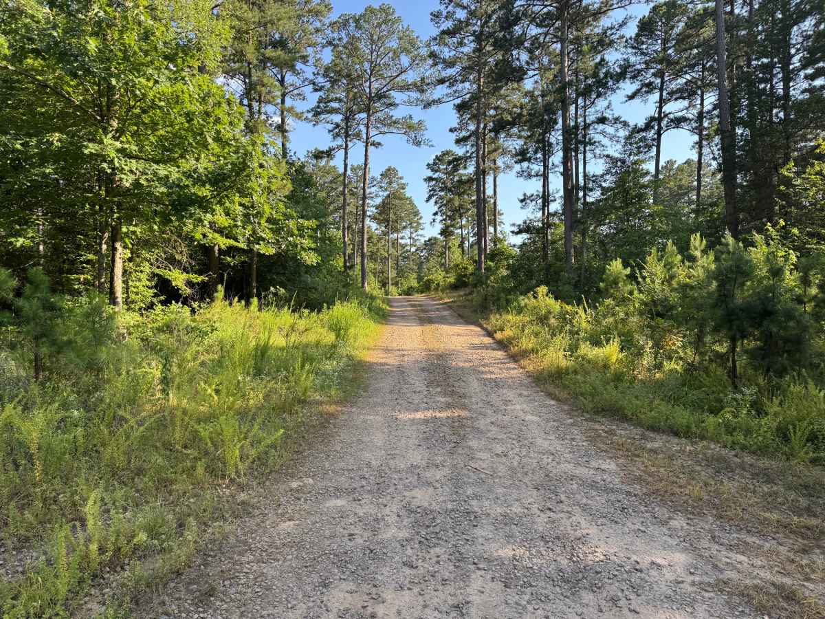
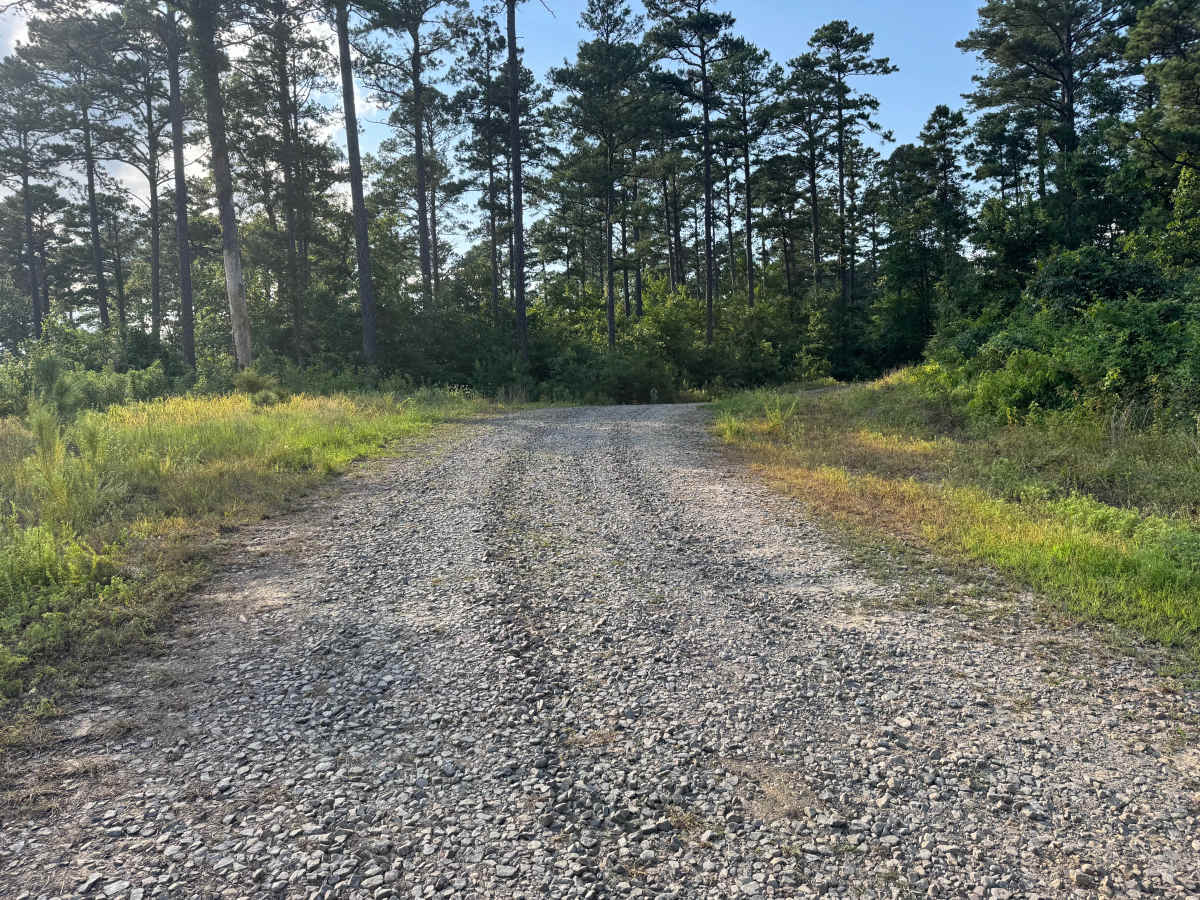
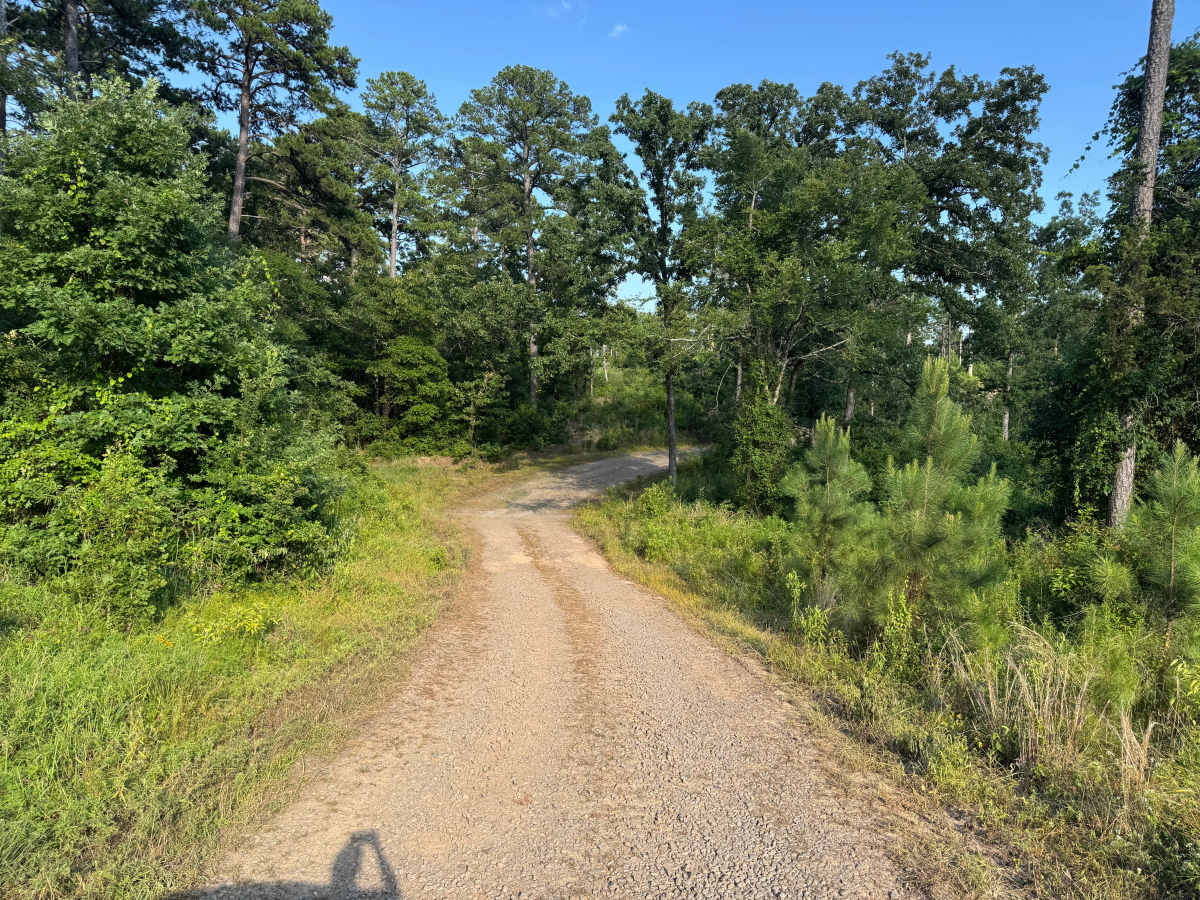
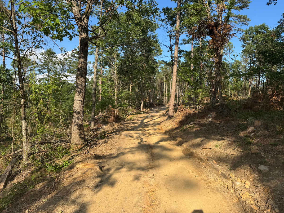
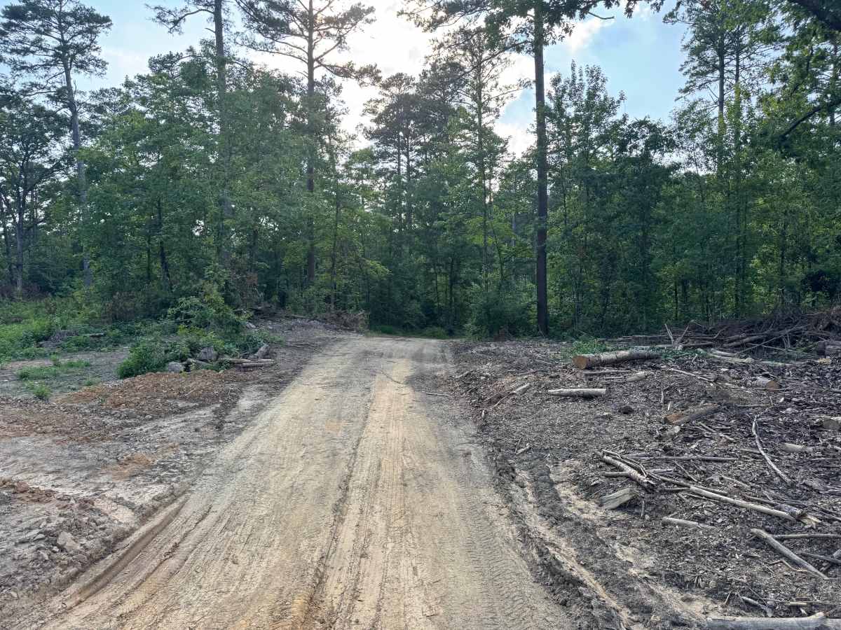
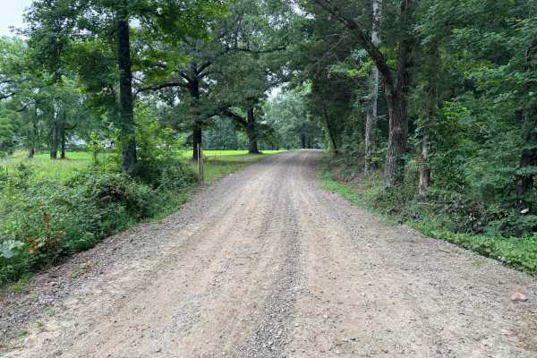
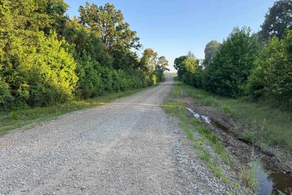
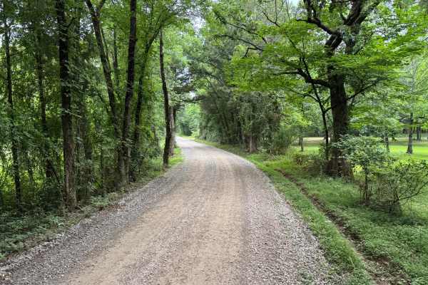
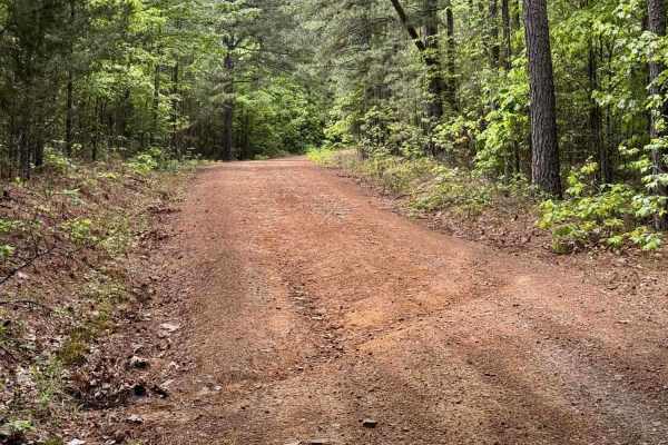
This is an out-and-back route that begins on a smooth, well-maintained gravel road winding through a beautiful stand of tall pines and mixed hardwoods. As the route progresses, the forest opens into an active logging area where freshly cleared sections, stacks of cut timber, and logging equipment become visible. The road remains mostly one vehicle wide, with only a few locations suitable for passing another vehicle. The surface transitions from gravel to packed dirt with some shallow ruts created by heavy equipment, but there are no significant obstacles requiring technical driving. The primary hazard on this route is active logging operations. Watch carefully for logging trucks, heavy machinery entering or leaving the roadway, and workers in the area. Yield to all logging traffic and expect changing road conditions as forestry work continues.
Difficulty
There are no significant climbs, rock ledges, or water crossings. The primary concern is not the terrain itself but active logging operations. Logging trucks, heavy equipment, and changing road conditions require drivers to remain alert, yield to commercial traffic, and be prepared for occasional loose gravel or freshly graded sections. The narrow, single-vehicle-wide road also limits passing opportunities, making caution around blind corners important.
History
The Ozark National Forest was established in 1908 and today forms part of the Ozark-St. Francis National Forests, protecting more than one million acres across northern Arkansas. Many of the Forest Service roads traveled today began as logging, fire access, or resource management roads before becoming part of the modern recreation network. Forest management continues to play an important role in maintaining healthy ecosystems through timber management, prescribed fire, wildlife habitat restoration, and watershed protection. The rugged Boston Mountains and surrounding Ozark Highlands remain one of the oldest and most geologically significant mountain regions in North America, offering visitors a unique combination of natural beauty and rich forest history.

 Offroad