Trail Overview
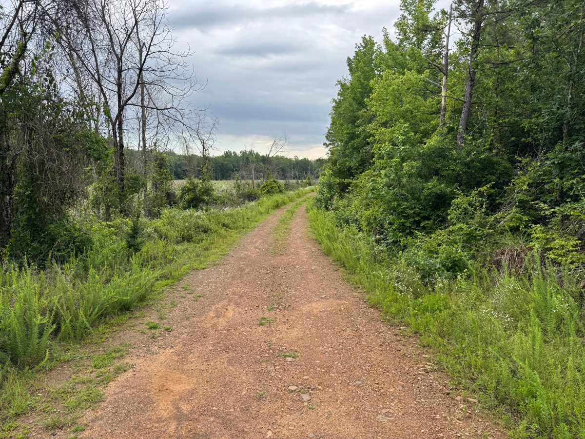
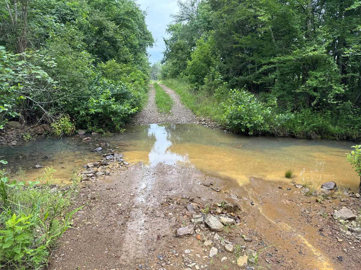
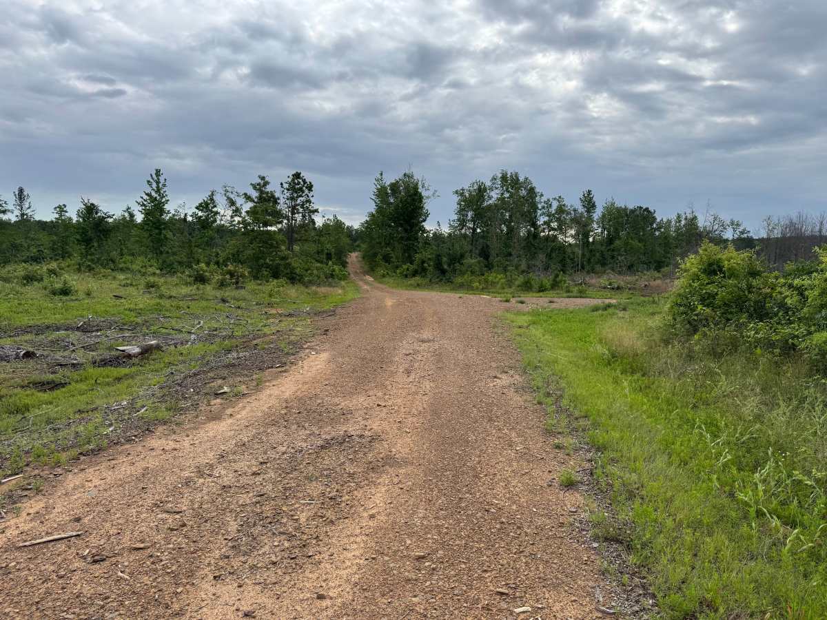
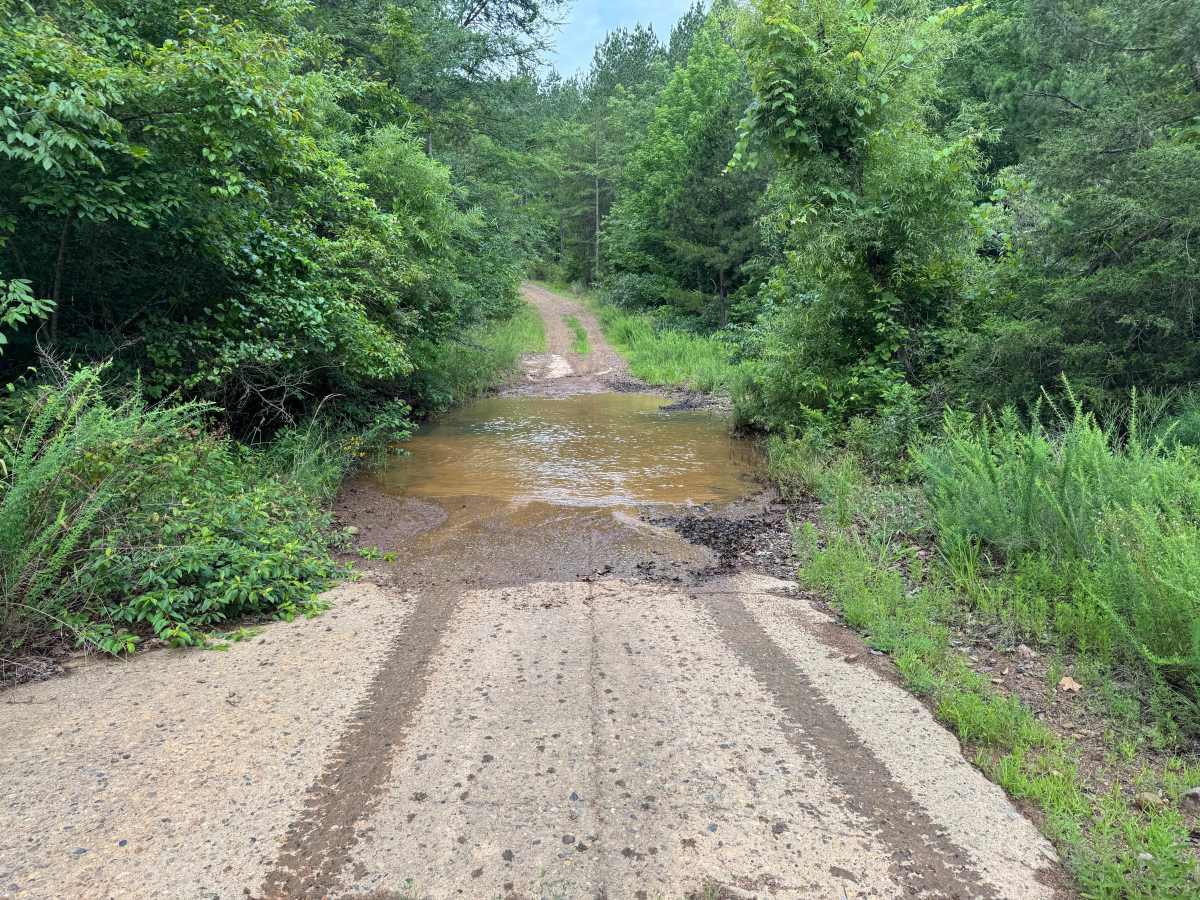
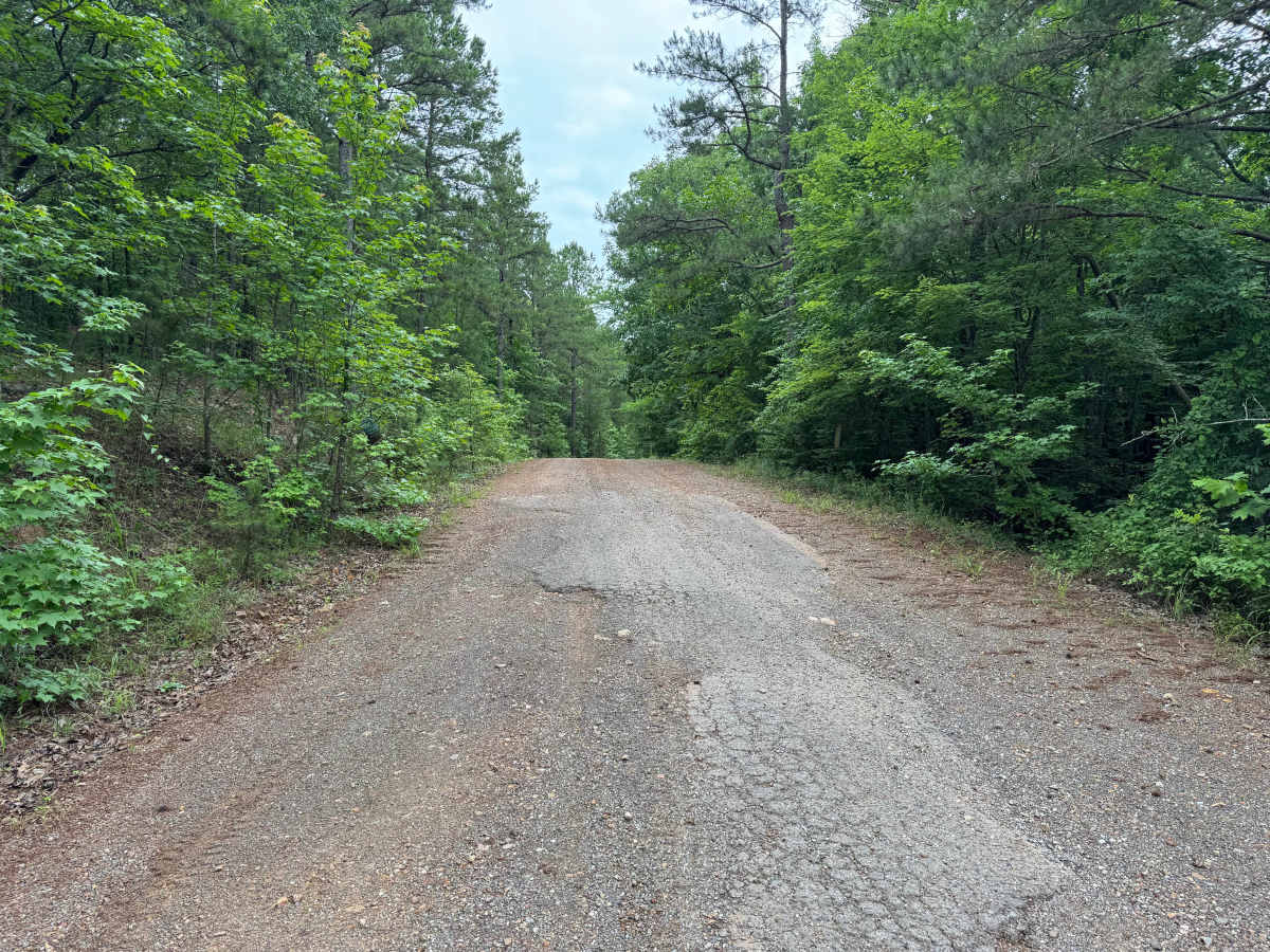
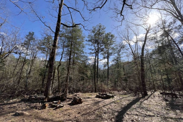
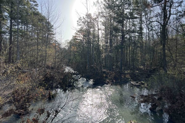
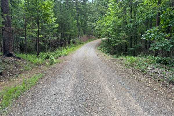
This former logging road provides a remote drive through regenerating timber, creek bottoms, and active wildlife habitat. The route follows a mixture of gravel and dirt surfaces while passing through areas that show evidence of previous logging activity. Drivers can expect a narrow road, multiple water crossings, and changing conditions depending on recent weather. The road is primarily one vehicle wide with only occasional pull-offs where vehicles can safely pass. Visibility is generally good on straighter sections but can be limited around curves and near creek crossings. Several creek crossings are encountered throughout the route. Some crossings utilize concrete low-water bridges, while others require driving directly through shallow rock-bottom creek beds. Water levels can change quickly following rainfall, making conditions significantly different from one visit to the next. Several mud holes are present along the route; none were particularly deep or difficult, but heavy rains or renewed logging activity could cause them to deepen and widen over time. The road surface consists of gravel, dirt, and scattered rock, with occasional rough spots near crossings and low areas. While the route remains suitable for most stock 4WD vehicles, drivers should assess water crossings carefully before proceeding. The combination of creek crossings, mud, and narrow roadway creates a more adventurous experience than many nearby forest roads while still remaining accessible to most drivers.
Difficulty
No major rock obstacles, steep climbs, or technical challenges exist under normal conditions. The primary factors influencing difficulty are water depth at creek crossings, muddy sections following rain, and the narrow width of the road. Conditions can change significantly after storms.
History
The Ouachita National Forest was established in 1907 and is recognized as the oldest national forest in the southern United States. Many roads found throughout the forest today originated as logging, timber management, fire access, or resource extraction routes before becoming part of the modern Forest Service road network. Forest management remains an important part of the landscape, and travelers may encounter evidence of prescribed burns, timber thinning, and habitat restoration efforts. The Ouachita Mountains themselves are among the oldest mountain ranges in North America and are notable for their unique east-west orientation.