Trail Overview
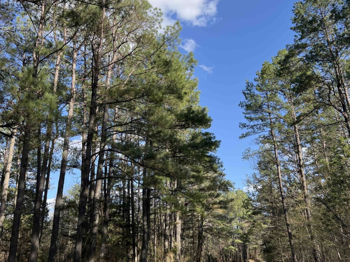
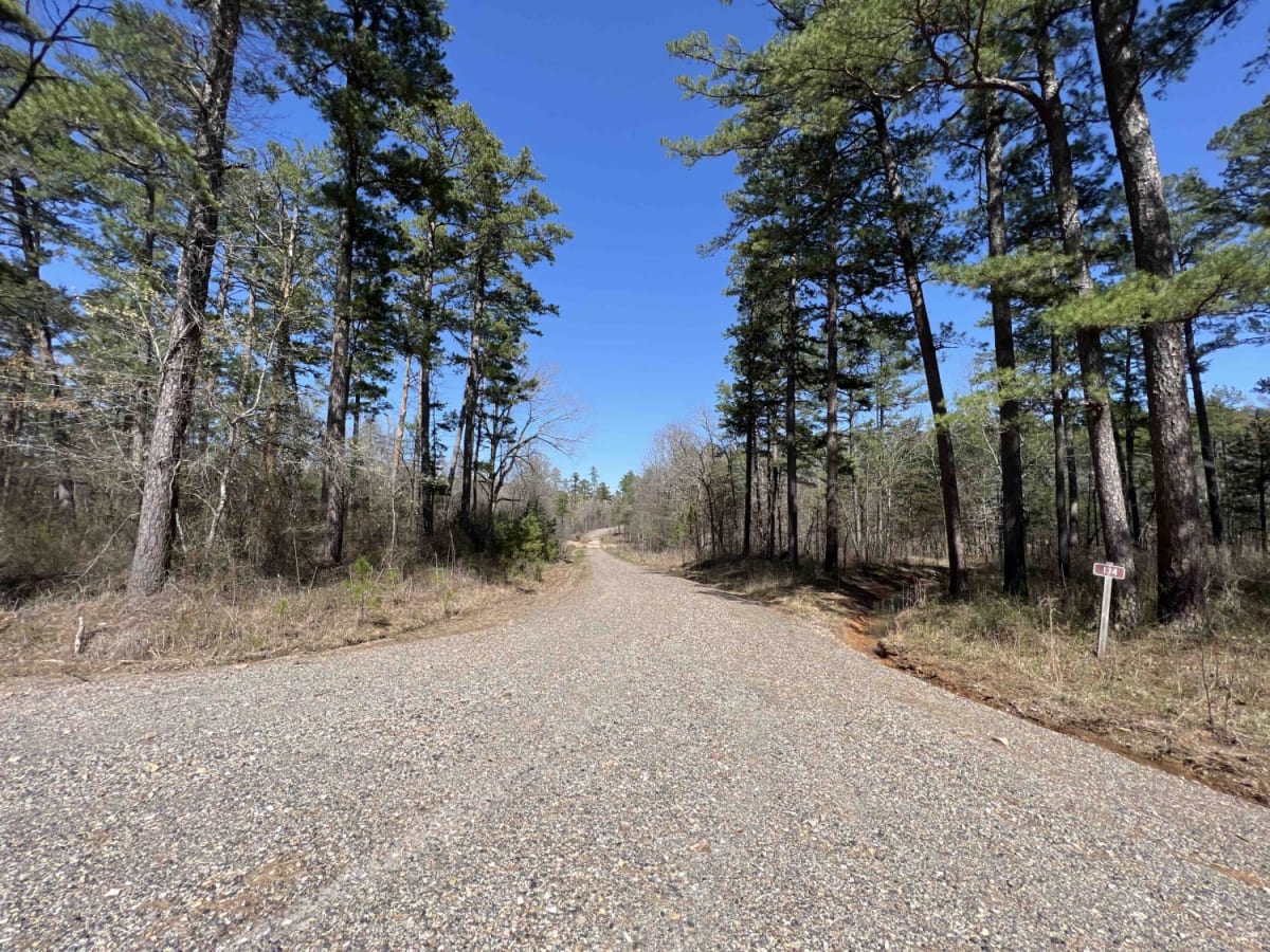
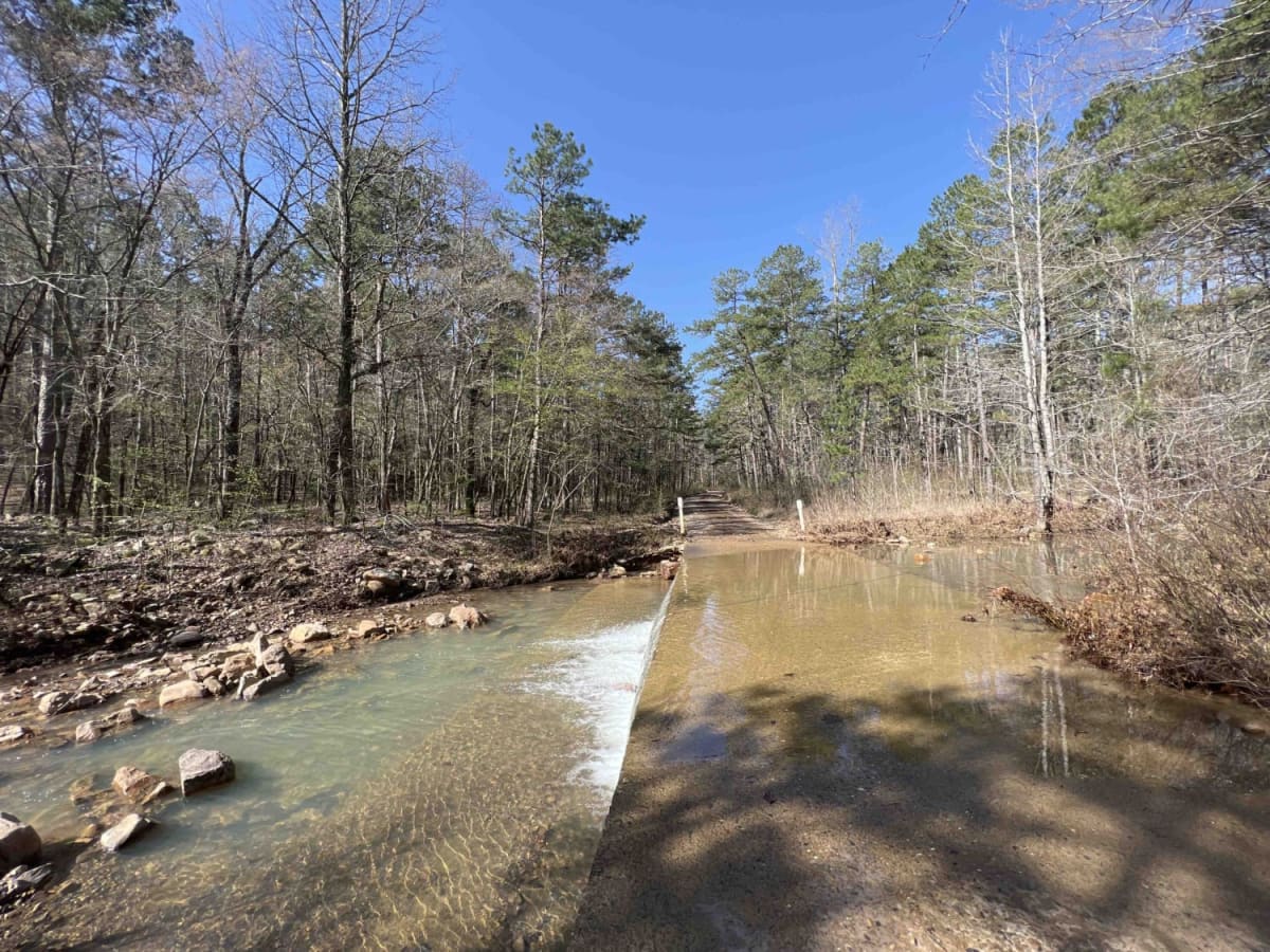
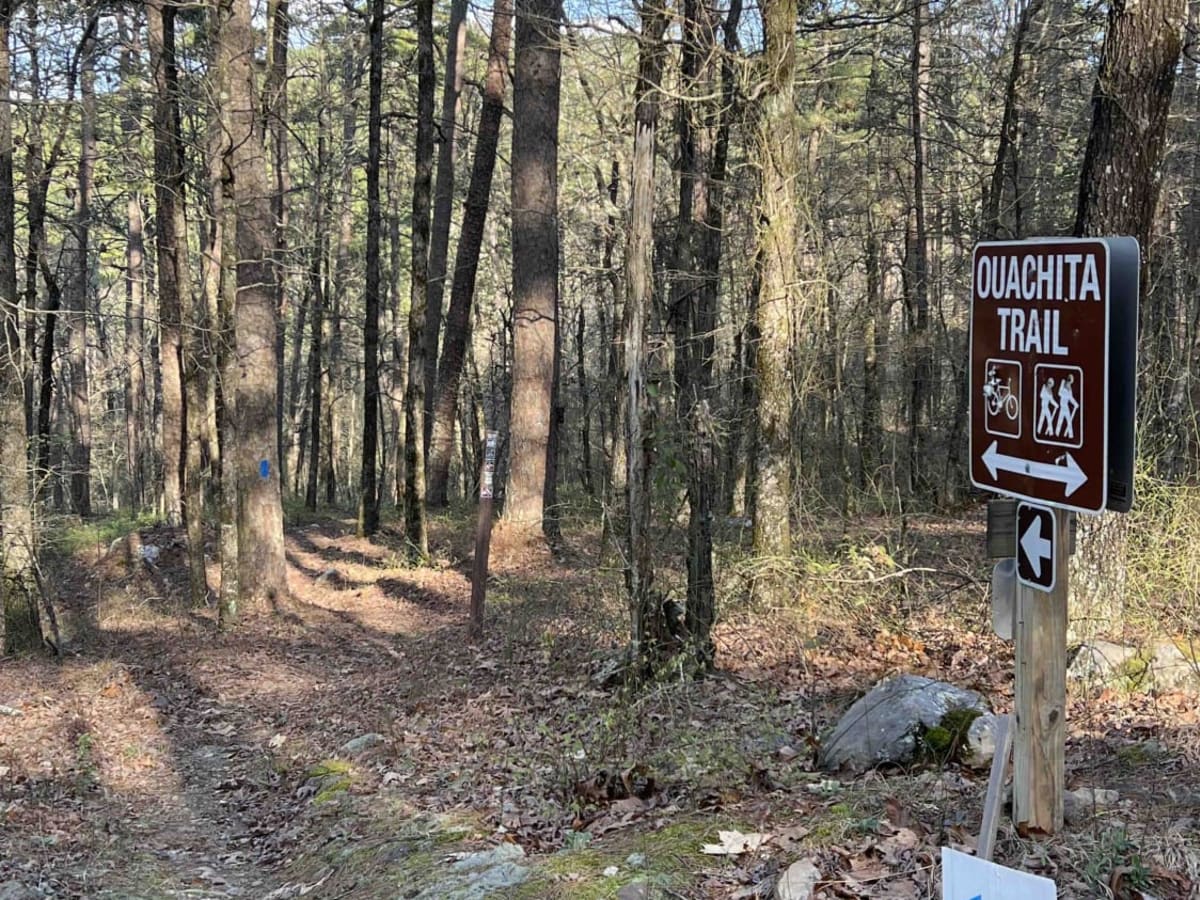
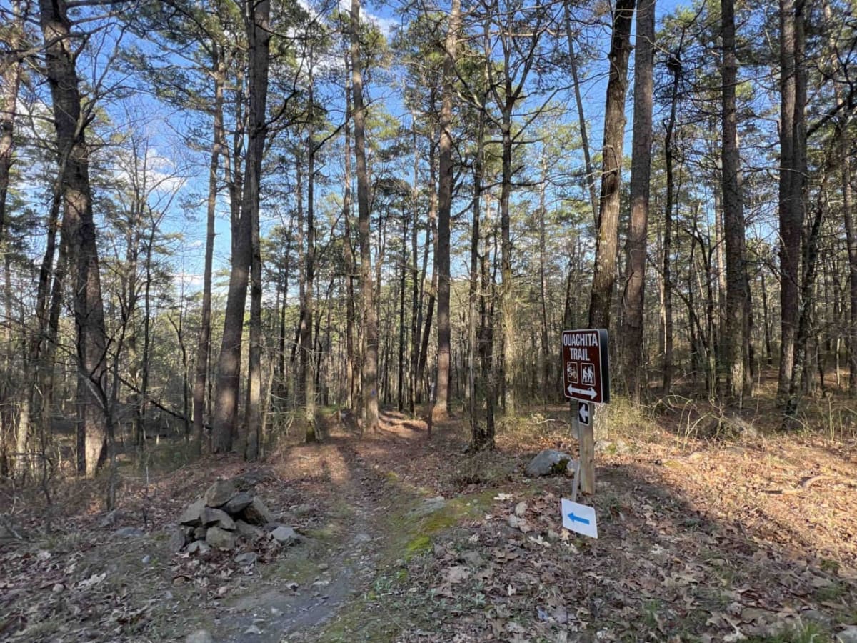
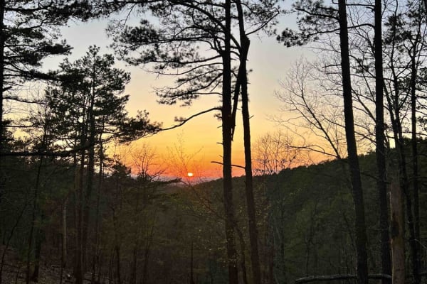
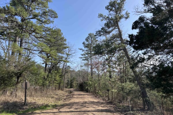
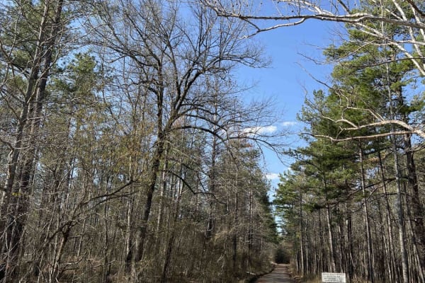
Forester 33 is one of the gateway roads to the Ouachita Recreational Trail which is located at the south end of this trail. It's an easy gravel road with several campsites along the route. All campsites are dispersed with no water or restrooms. Since the ORT is along this route these sites had campers in them so this might be a pretty busy area for camping. There were also mountain bikers who were having a race so there was heavy mountain biking along this route. There are shallow creeks that could overflow onto the road after heavy rainfall. Be mindful of the wildlife and plant species and do some research before heading into the ONF. During the summer months, you will find cotton mouth snakes near the creeks and or any water source. I have spotted skunks, deer, turkeys, squirrels, and lots of birds. There are also black bears, mountain lions, bobcats, and wild boars. There is cell service along this route in certain areas.
Difficulty
Expect water crossings that can be up to a foot deep, a single-lane road, gravel, and washouts.
History
History of the Ouachita National Forest-- https://www.fs.usda.gov/Internet/FSE_DOCUMENTS/stelprdb5143491.pdf