Keith M.
Jun 26, 2026
Open
Muddy/Wet
Really nice ride. No areas were a problem. Creek crossing were good solid bottoms water moving but not deep. Some water flowing at the falls.
Jon Seals
Jun 12, 2026
2022 Toyota Tundra TRD Pro
Open
Muddy/Wet
Was pretty muddy, the creek crossing towards the end was about a foot and half deep and flowing. There was also a tree down blocking about half of the track, but was able to squeeze by.
Chris Wagstaff
May 16, 2026
2023 Toyota Tacoma
Open
We took this from the north, south until pine ridge road. If you plan on taking a stock 4x4 through here its going to be interesting. I made it in mine without touching anything anywhere. Lift and tires would be nice.
Nathan Swindle
May 13, 2026
Open
NormalDusty
Tree had been clear and the rest of the trail was good. Good camp spots along the way with good views and water access
Sam Mayberger
May 07, 2026
2008 Toyota FJ Cruiser
Obstructed
Downed Tree
Was there this last weekend (5/7/26) and it had great camp spots but also had a downed tree that needed a chainsaw to remove. We backtracked and met back up after the tree.
Tree was at 35.73675, -93.2716
nick mounce
Mar 22, 2026
Open
NormalDusty
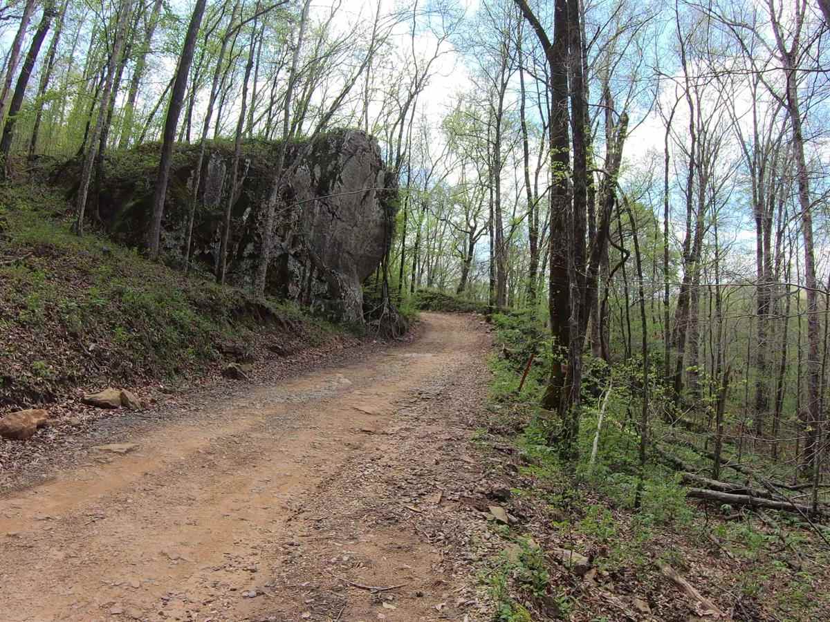
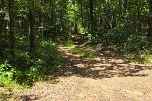
Beautiful trail some washS out parts and off camber but most of those areas have different lines you can do to avoid them if you want to
tj cope
Mar 13, 2026
Open
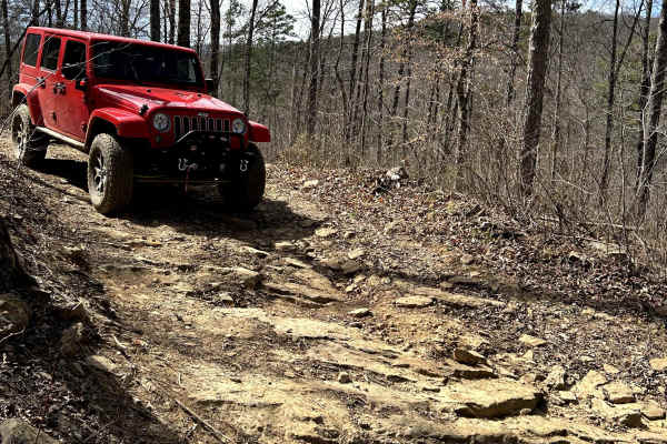
Getting increasingly narrow due to washouts and downed trees. Went two days after a good rain and mud holes were around a foot n half deep in most spots. Beautiful trail, highly recommend but will definitely need a high clearance vehicle to navigate section that runs parallel to the river.
Danny Doyle
Feb 07, 2026
Open
Ran the trail south to north, the stream was maybe 10 inches deep. Some washed out spots on the edge, looked similar to a sinkhole, could easily swallow a 32" tire.ade the trip easily in VW and 31" tire.
Brandon Charles
Nov 30, 2025
2018 Jeep Wrangler
Open
NormalMuddy/Wet
It’s been a couple of days since it’s rained, so this was strategic for this trip. The conditions were perfect. Wet enough to keep dust down and have some puddles. So much fun!
Even made time to skip some rocks in the river.
John Hankins
Nov 25, 2025
2020 Jeep Gladiator
Open
Muddy/Wet
Trail was easy and passable for a stock jeep without any problems
Ryan Fortuna
Nov 25, 2025
2013 Porsche Cayenne
Open
Muddy/Wet
Wet but not muddy. Rivers seemed to be low even after a full day of rain. Would highly recommend. Lower tire pressures for comfort. A few rocky sections.
Cameron Weaver
Nov 15, 2025
Open
DustyNormal
Brandon T
Nov 02, 2025
2020 Jeep Wrangler
Open
Muddy/Wet
KA ozarkbronco
Oct 04, 2025
1990 Ford Bronco
Open
Normal
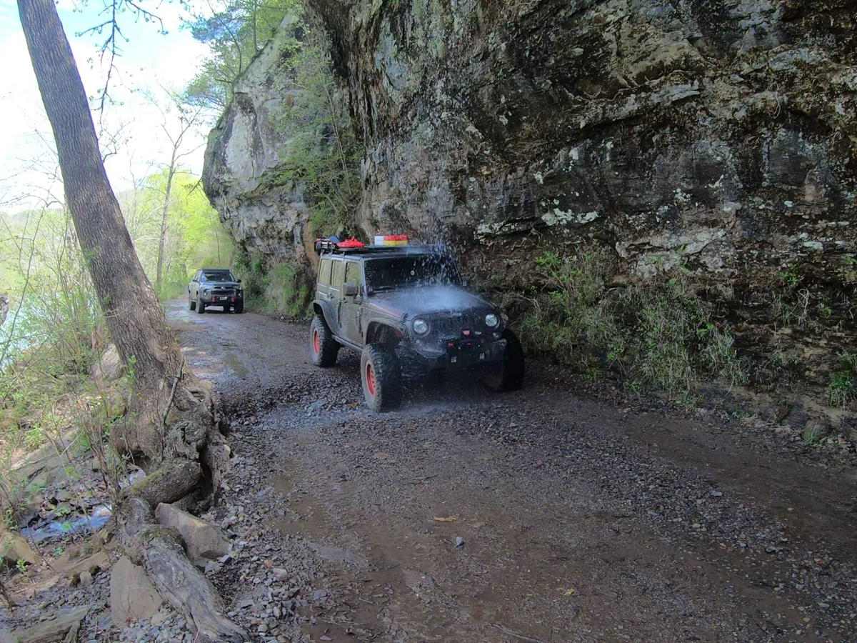
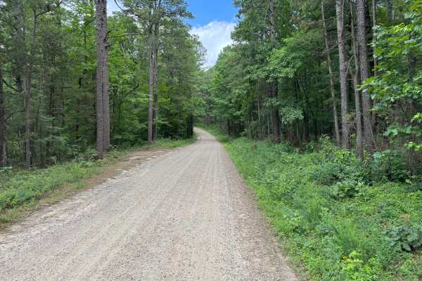
Great trail it connects from HWY 123 to HWY 16 , coming in from 123 it will be a smooth gravel road, shortly after passing car wash falls it will become much rougher
Brad Helton
Sep 27, 2025
2019 Subaru Ascent
Open
Muddy/Wet
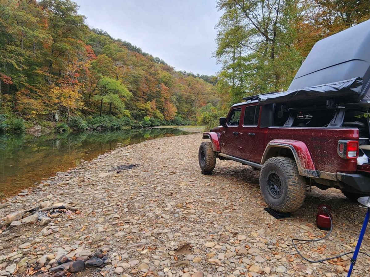
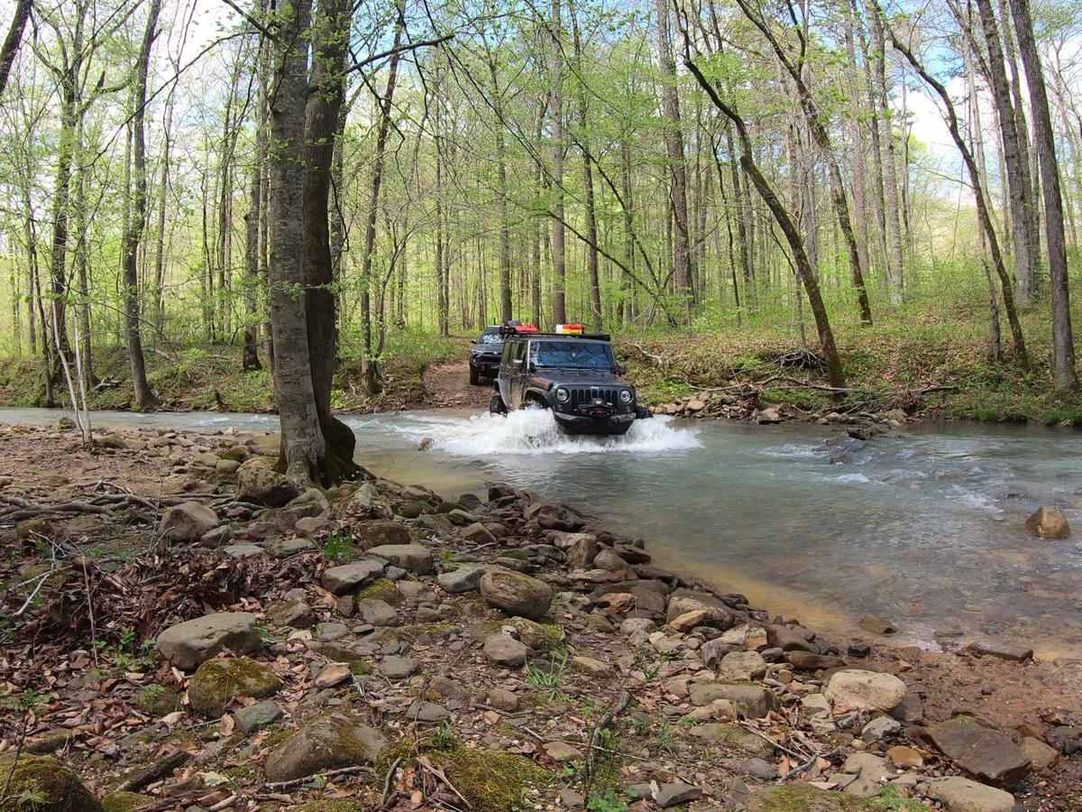
This trail has two halfs. The easy gravel road half and the offroading half. The divider is the water crossing of Hurricane Creek. We ran the trail North to South, staring with the true offroading part. This was fun. Plenty of challenges bht none that could not be negotiated. There were a few assumed deep mud pits but each had bypasses and did not require you to go through. Also, several dispersed camping site along the Big Piney whoch this trail runs along. All ending with the crossing of Hurricane Creek. The creek was around 18-20 deep when we crossed. Deep enough for me to question whether I should be doing this. All good though. The south end, where the trail gets it's name from, was nothing more than a trickle. Note, restoration construction had recently taken place leading up from the south entrance. The work makes the trail like an easy gravel road any vehicle could drive to get to Carwash Falls.