Trail Overview
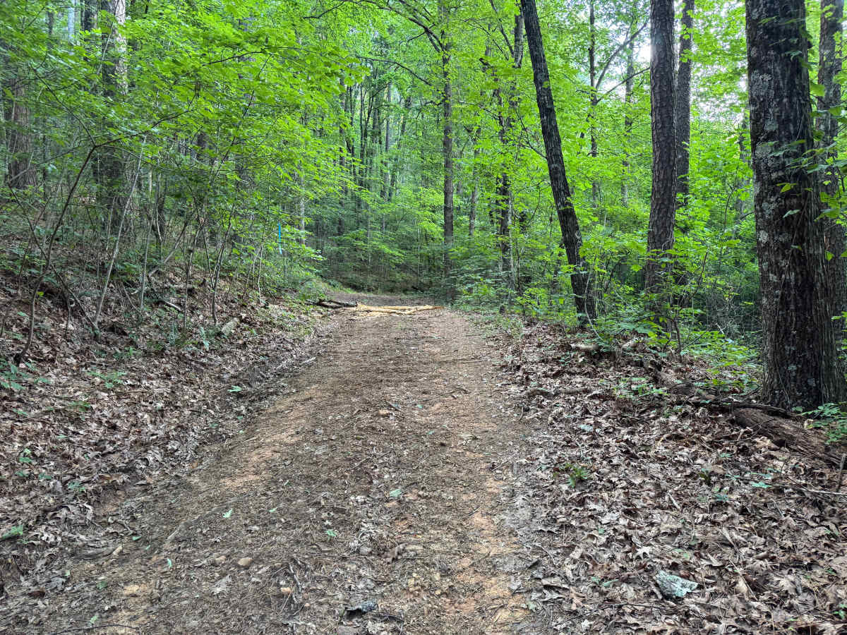
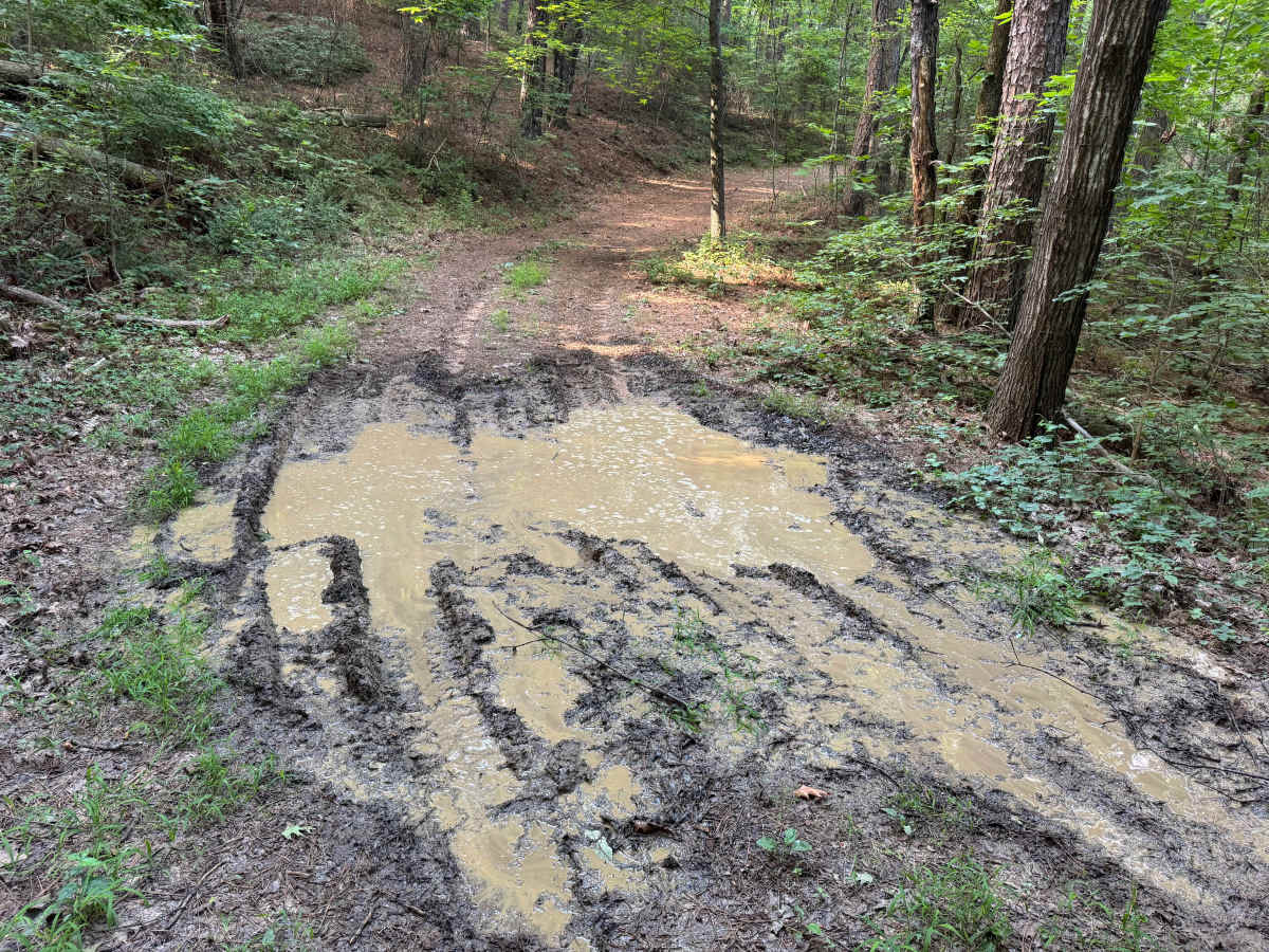
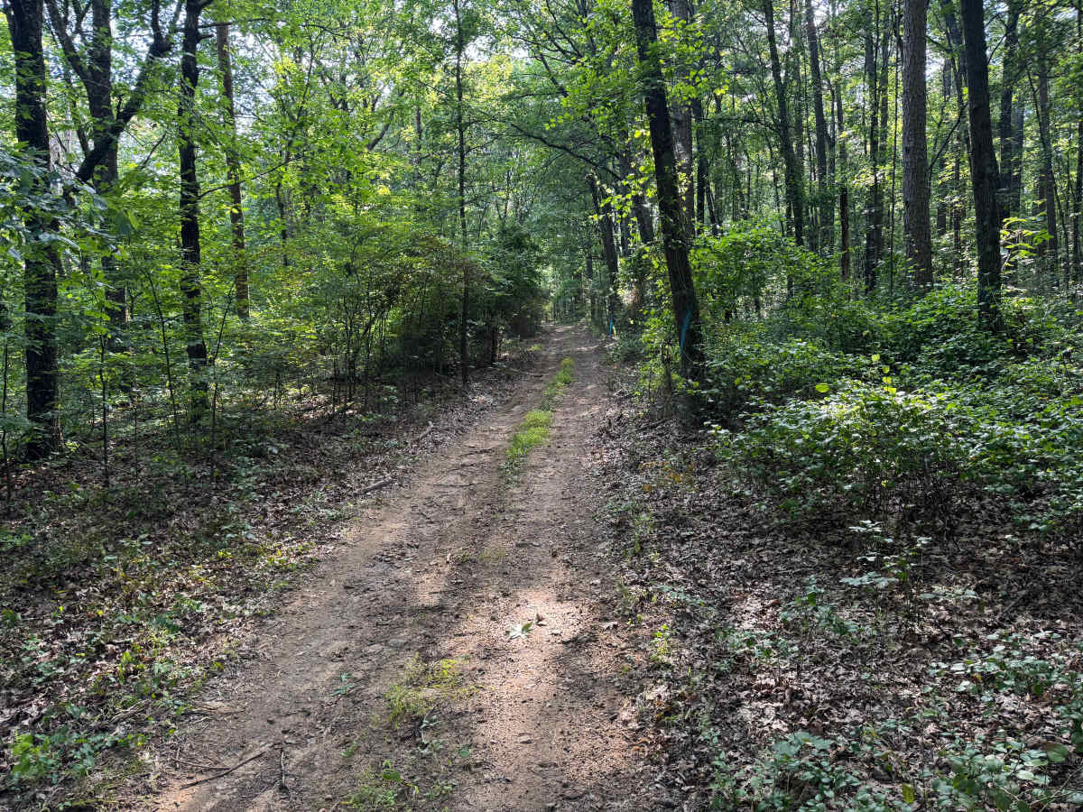
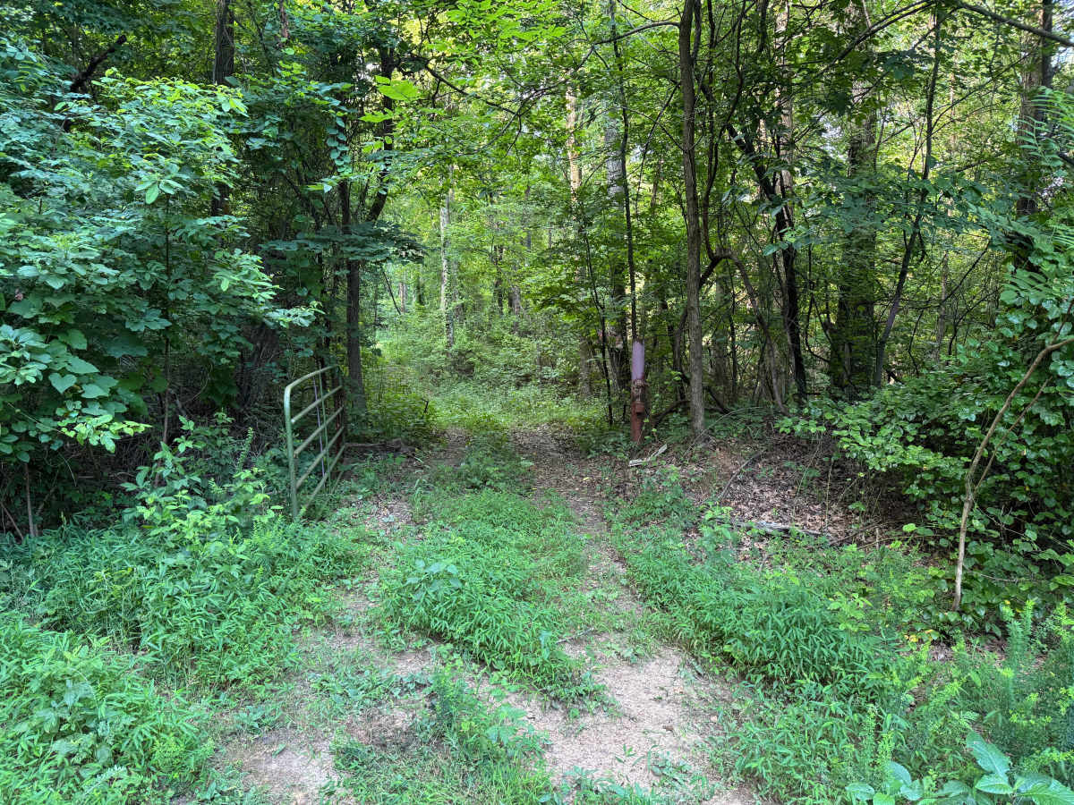
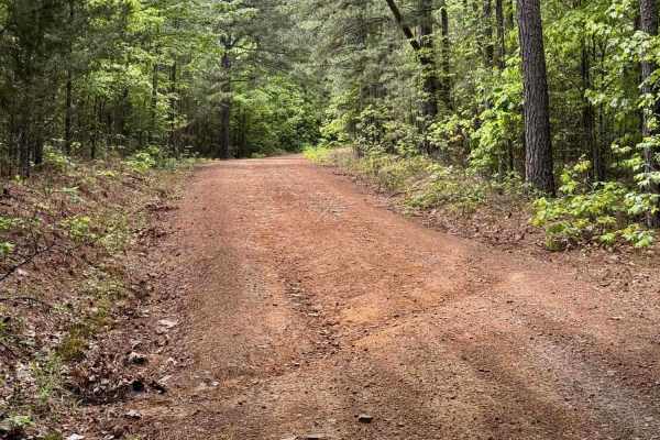
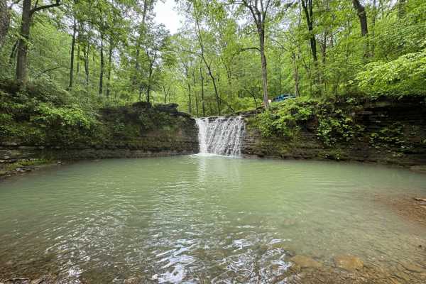
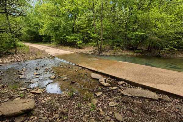
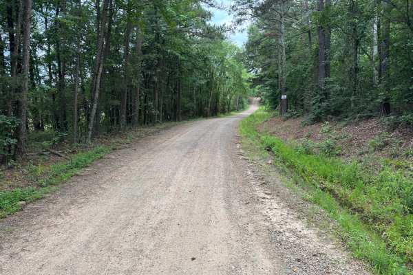
This out-and-back route winds through a quiet forest of towering pines and mature hardwoods, creating a scenic drive beneath a thick green canopy. The trail is primarily dirt with a few gentle elevation changes and several muddy sections that can develop soft bottoms, making four-wheel drive highly recommended, especially after recent rain. As shown in the photos, the mud holes can become deep and rutted, while the remainder of the trail remains relatively smooth with only the occasional downed tree creating a potential obstacle. One highlight along the route is a pull-off near an impressive rock formation that is worth stopping to explore. In several areas, thick brush and low-hanging branches have begun to reclaim the trail, making pinstriping or light paint scratches likely for wider vehicles. Keep an eye out for wildlife crossing the trail, particularly during the early morning and evening hours, and enjoy the peaceful drive through this secluded section of forest.
Difficulty
This trail is generally easy but is best suited for high-clearance 4WD vehicles due to several mud holes with soft bottoms that can become challenging after rain. The remainder of the route is mostly dirt with gentle grades and few obstacles. Expect some overgrown sections that may cause light pinstriping, along with the possibility of downed trees and wildlife on the trail. Under dry conditions, experienced drivers should find this to be a straightforward forest trail.
History
The Ozark National Forest was established in 1908 and today forms part of the Ozark-St. Francis National Forests, protecting more than one million acres across northern Arkansas. Many of the Forest Service roads traveled today began as logging, fire access, or resource management roads before becoming part of the modern recreation network. Forest management continues to play an important role in maintaining healthy ecosystems through timber management, prescribed fire, wildlife habitat restoration, and watershed protection. The rugged Boston Mountains and surrounding Ozark Highlands remain one of the oldest and most geologically significant mountain regions in North America, offering visitors a unique combination of natural beauty and rich forest history.


 Offroad