Angling Pinnacle

Total Miles2
Technical Rating
1Easy
Best TimeSpring, Summer, Fall, Winter
Trail TypeFull-Width Road
Accessible By
Open Trail Map

Trail Overview

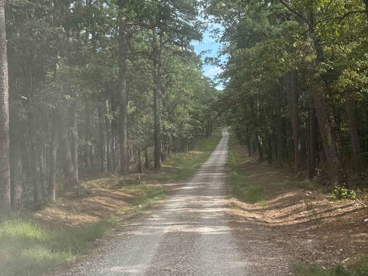
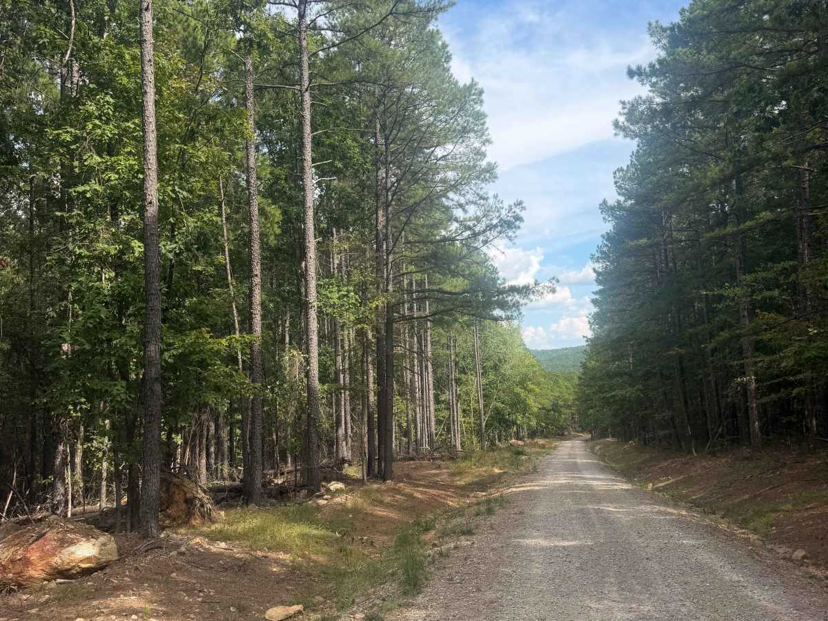
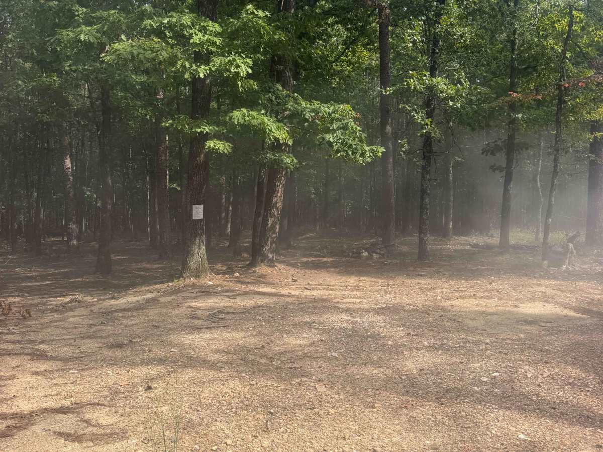
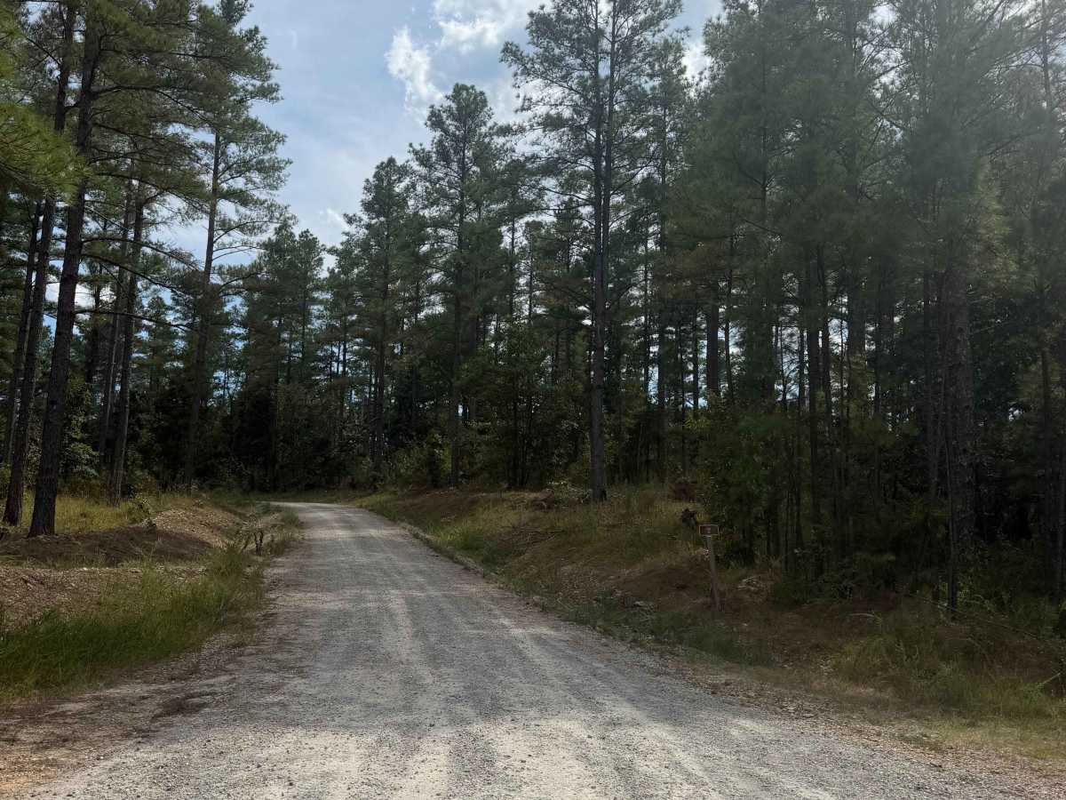
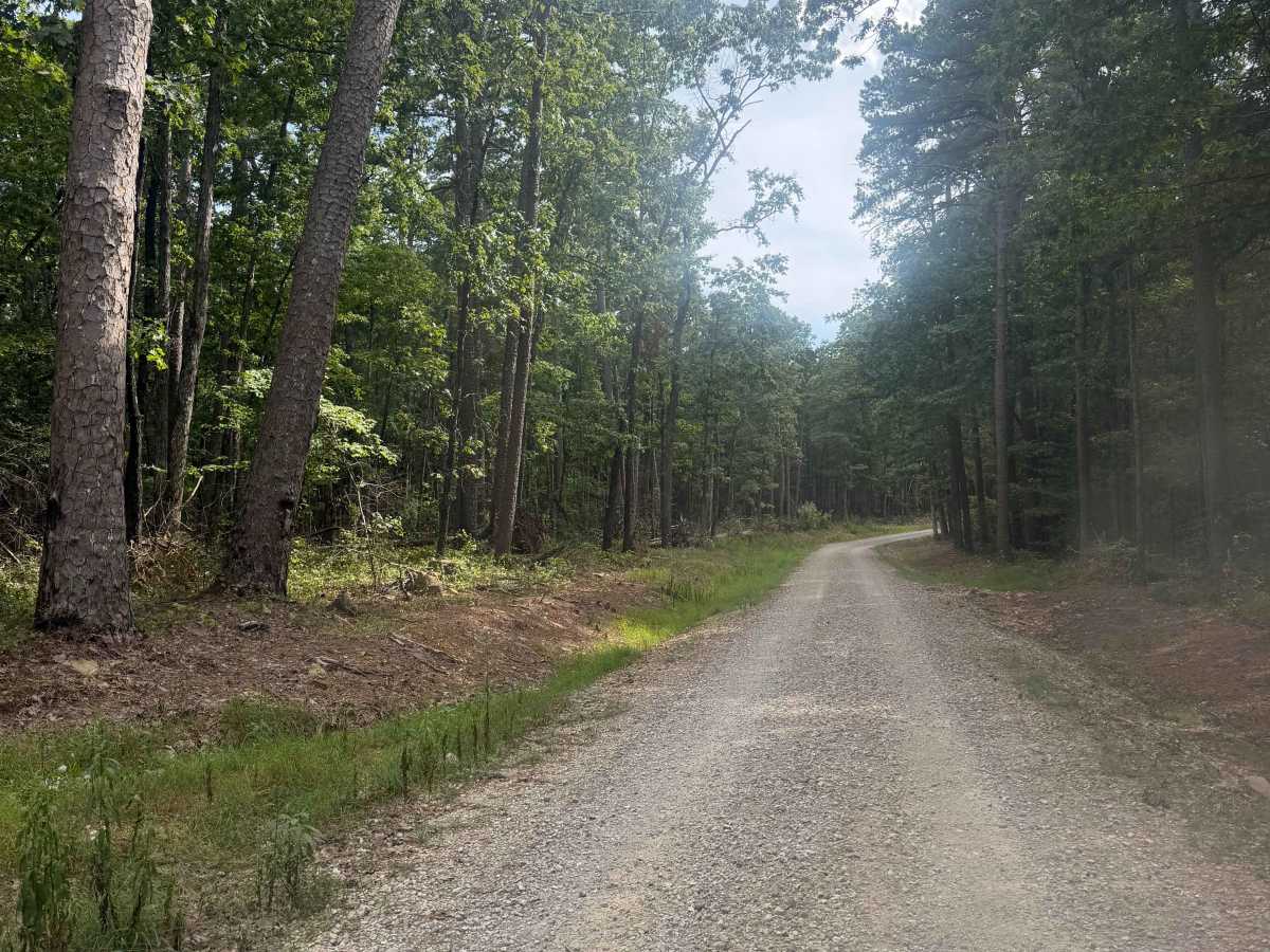
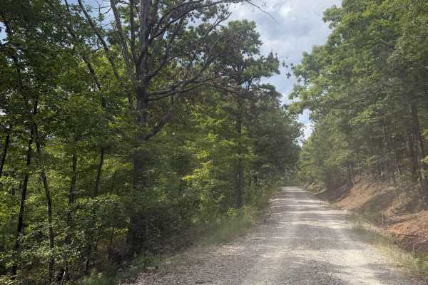
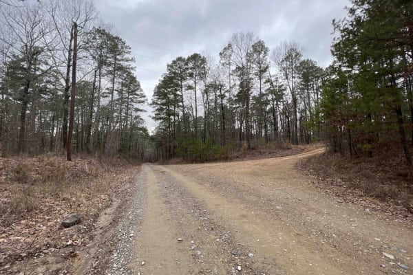
Angling Pinnacle Road is an easy, well-maintained connector between Alum Fork Road and East Horsley Branch. The maintained gravel road winds through a scenic mix of rolling hills, dense hardwood forest, and small stretches of open countryside. The route is generally wide enough for two vehicles to pass comfortably, with only a few brief single-lane sections that provide plenty of room to yield to oncoming traffic. There are no significant obstacles, making it suitable for most stock high-clearance vehicles, and a campsite is located roughly halfway along the trail, making it a great place to stop and enjoy the quiet surroundings.

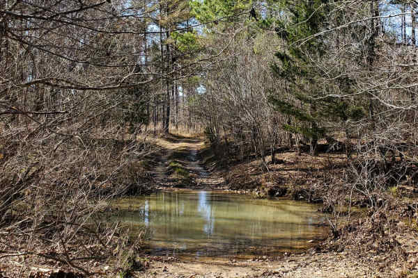
Photos of Angling Pinnacle

Difficulty

This trail is wide, open, and well-maintained, with no major obstacles or difficult sections. Most standard vehicles should be able to travel this road easily under normal weather conditions.

Technical Rating

1

Angling Pinnacle Trail can be accessed by the following ride types:

  • High Clearance
  • Full Width

Angling Pinnacle Map

The onX Offroad Difference

onX Offroad combines trail photos, descriptions, difficulty ratings, width restrictions, seasonality, and more in a user-friendly interface. Available on all devices, with offline access and full compatibility with CarPlay and Android Auto. Discover what you're missing today!

Open Trail Map