Trail Overview
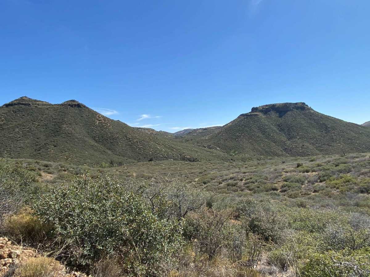
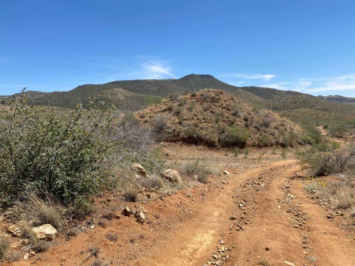
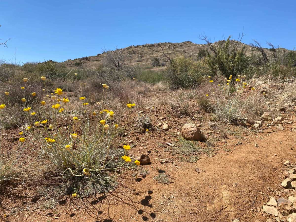
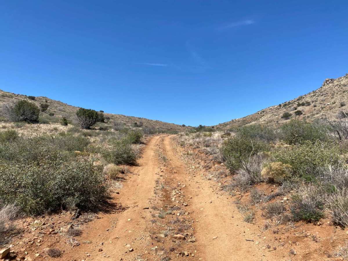
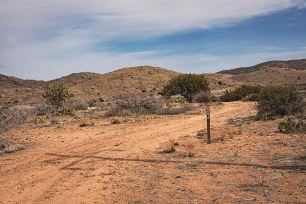
Windmill Wash is an excellent scenic bypass for offroaders looking to escape the busier sections of Bloody Basin Road while enjoying the rugged desert foothills of the northwestern Tonto National Forest. This 6.4-mile single-lane trail circles around the prominent 5,125-foot Mesa Butte, offering drivers a chance to test their vehicles against varying terrain and multiple wash crossings along Bishop Creek. Ranging in elevation from 4,224 feet to 4,722 feet, the route provides over 1,000 feet of cumulative elevation gain, showcasing the beautiful transition from low-altitude Sonoran Desert cacti to high-altitude vegetation. It is a lightly-traveled path suitable for high-clearance four-wheel-drive vehicles and SxSs looking for a peaceful yet engaging day in the dirt.
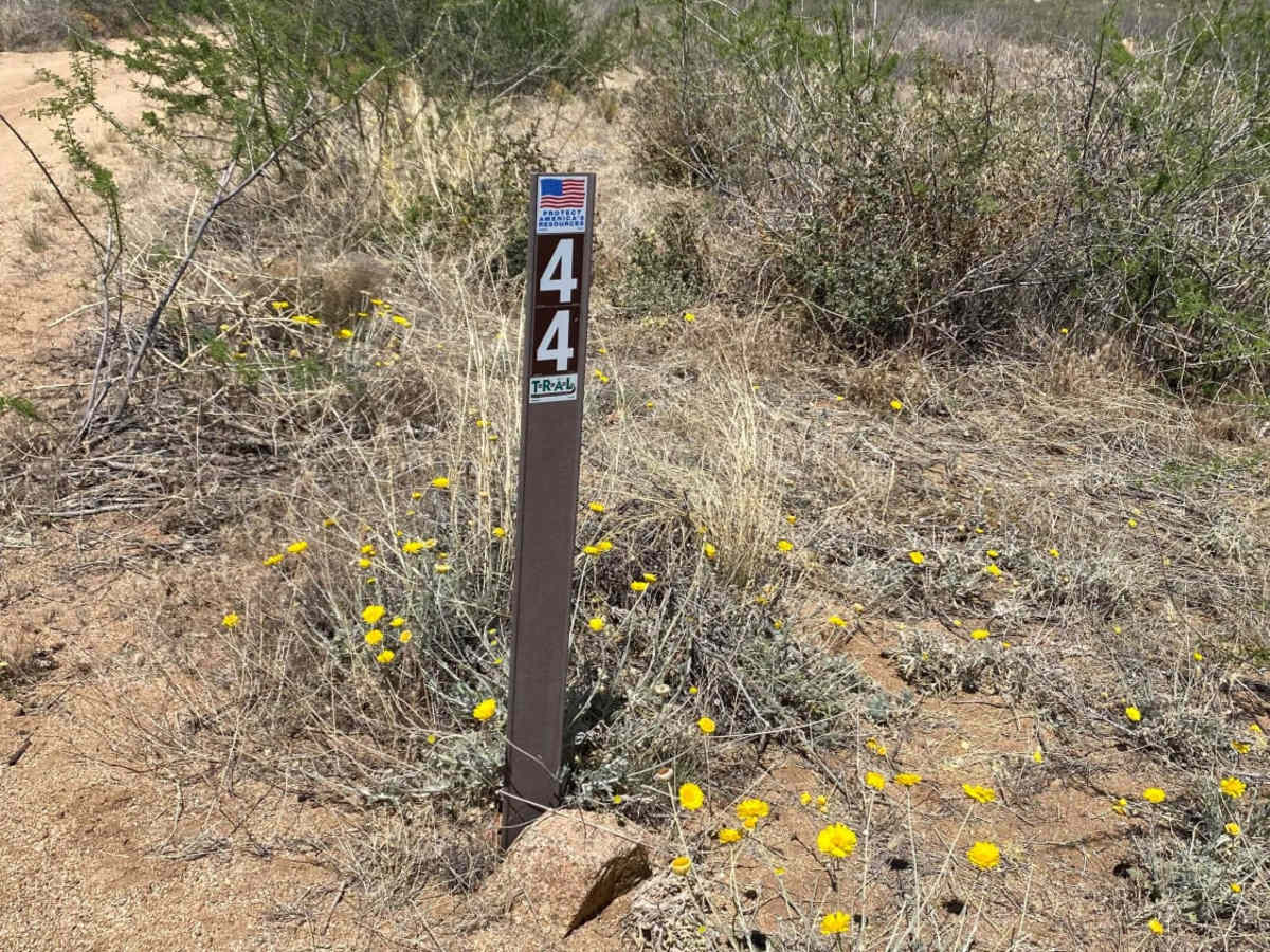
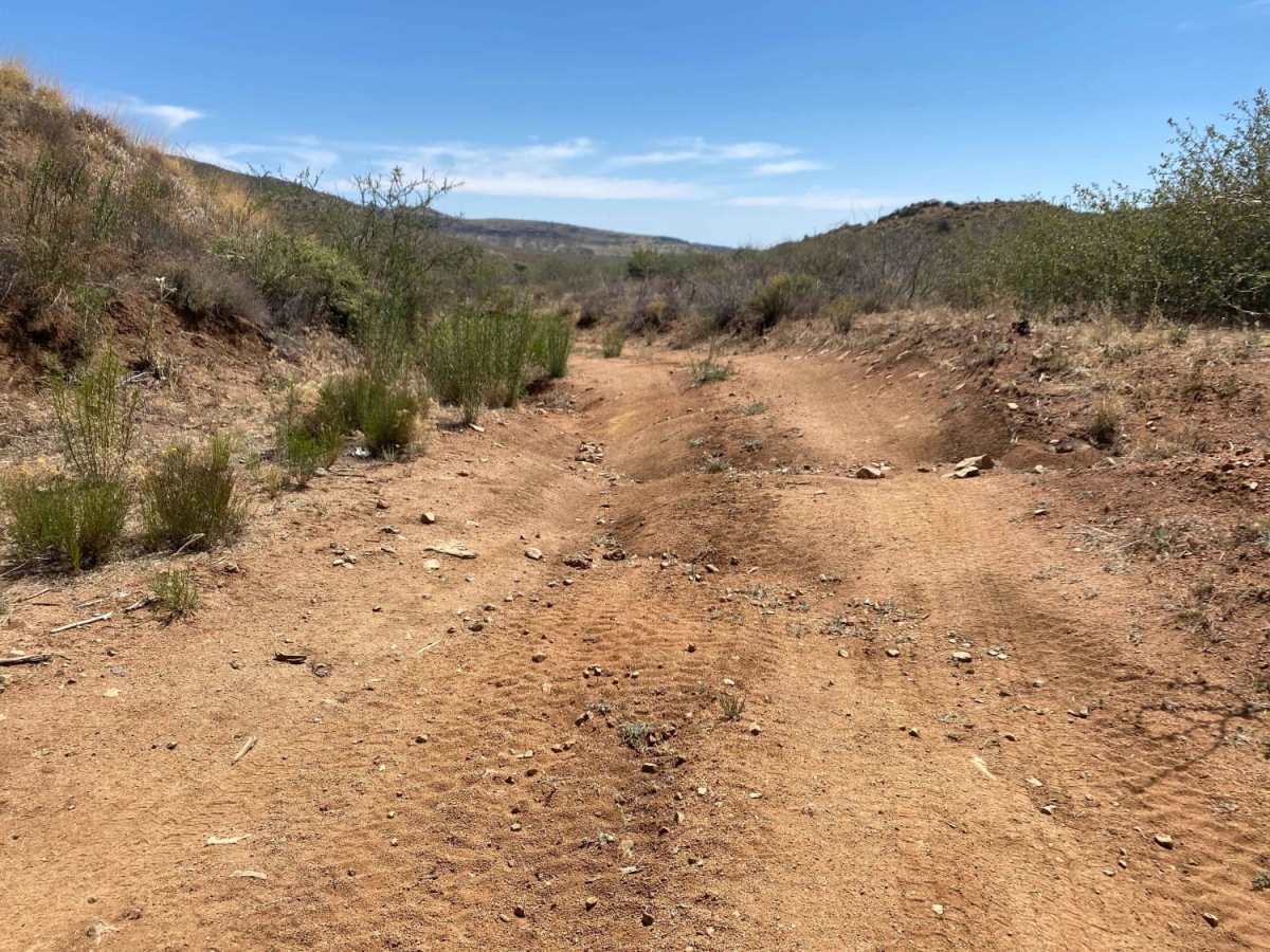
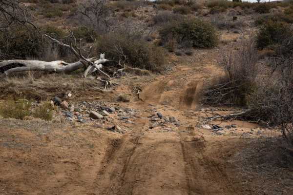
While much of the trail is technically straightforward, drivers will encounter a level 3 technical rating in several spots due to trail erosion and natural obstacles. Notable challenges include a sandy wash crossing at mile 3 with moderate rocks to navigate, followed by a larger, rougher rock section at mile 4 that requires precise tire placement and high ground clearance. After navigating these technical areas, a rare patch of shade trees appears around mile 5, running parallel to the Bishop Creek wash and offering a perfect spot to pull over, cool down, and have lunch. The trail connects from Bloody Basin Road to Wood Camp Road (FR 44), making it easy to access and integrate into a longer day of exploring the expansive Arizona highlands.
History
Windmill Wash lies within the Tonto National Forest. Sonoran Desert cacti and flat lands slowly give way to the highlands of the Mogollon Rim. This variety in vegetation and range in altitude -- from 1,300 to 7,900 feet -- offers outstanding recreational opportunities throughout the year, whether it's lake beaches or cool pine forests. www.fs.usda.gov/main/tonto/home

 Offroad