Trail Overview
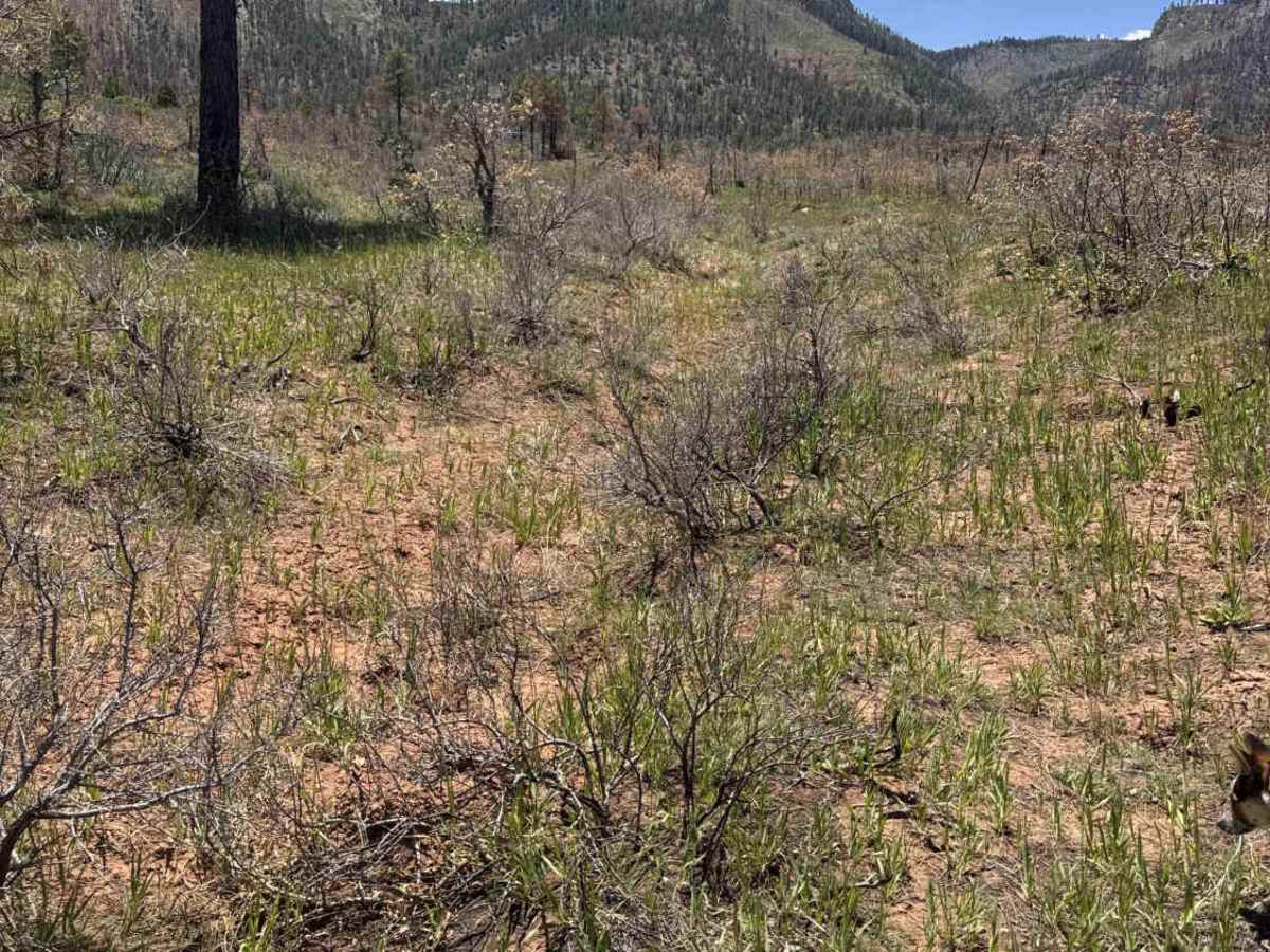
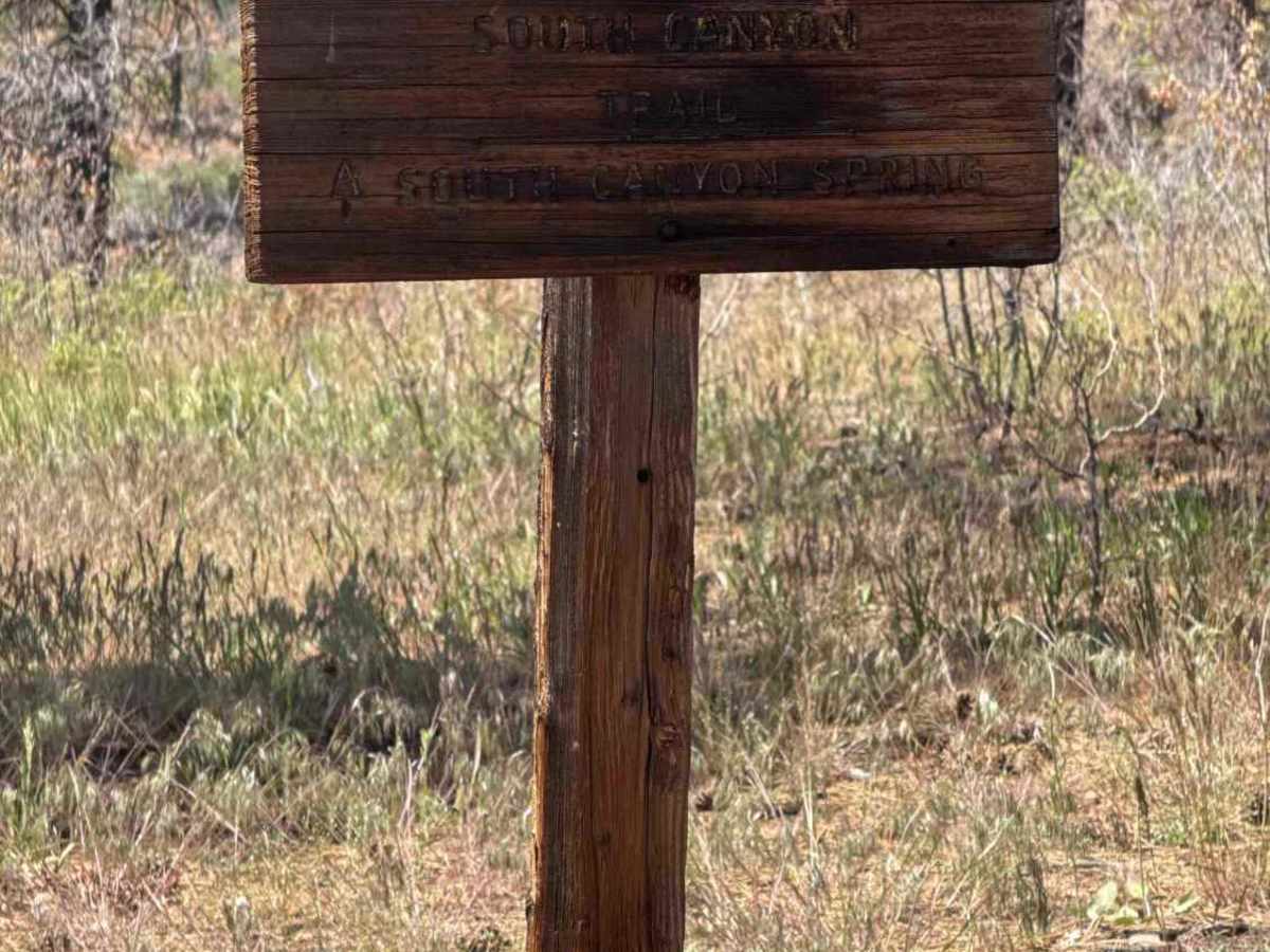
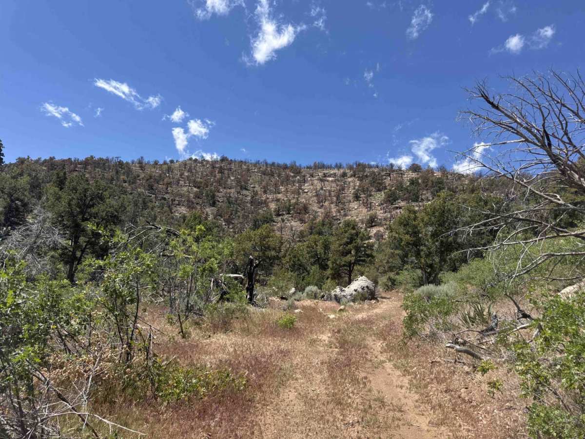
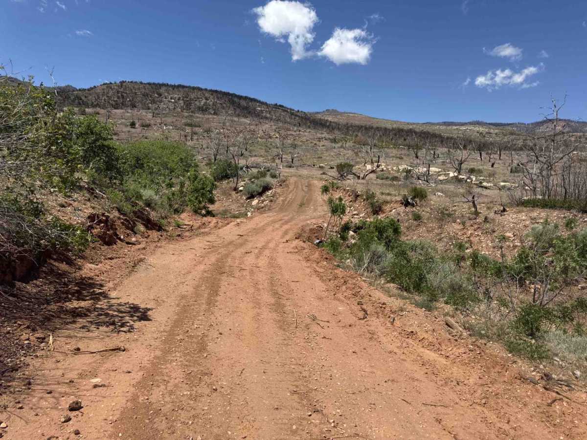
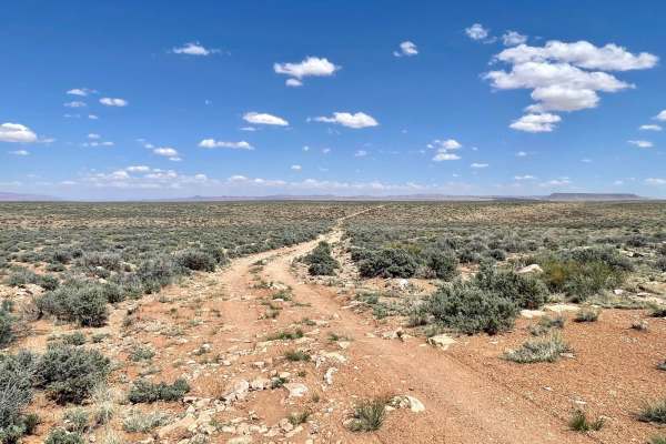
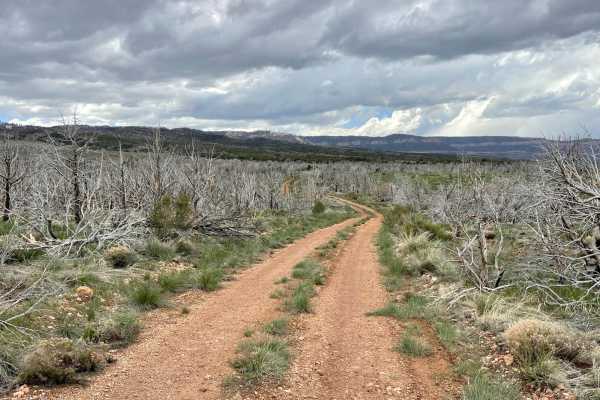
This road appears as a loop on both the Forest map and OnX, and technically it is. However, as you'll see in the last photo, the final section is extremely overgrown. I couldn't find a clear track to follow, although the remnants of the old road are still visible. At some point in recent years, it appears the area underwent a prescribed burn, but it didn't completely clear the smaller brush that has since overtaken the roadway. Beyond the South Canyon sign, this is no longer a viable route. Attempting to continue will leave your vehicle with far more than a few pinstripes.
As an end-to-end trail, however, it's absolutely worth the drive. The route descends into the canyon, with portions following a narrow shelf road. Much of the trail is only wide enough for a single vehicle, so be prepared for limited passing opportunities.
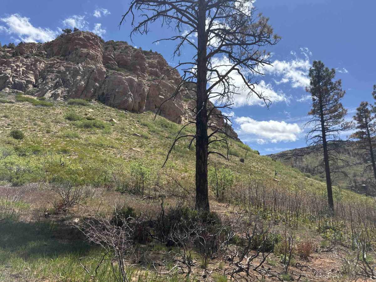
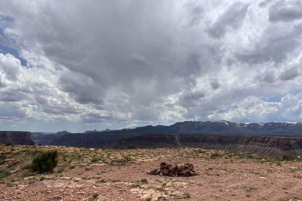
The scenery is spectacular throughout the drive. You'll be treated to steep canyon walls, dense forests, rolling meadows, and—depending on recent rainfall—a flowing creek. This is not a trail you want to tackle if rain is in the forecast. There are numerous water crossings, and the visible erosion shows that these crossings can become deep and potentially hazardous after storms. You'll also encounter several wildlife tanks scattered throughout the area.
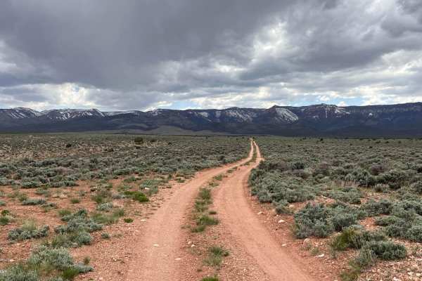
Dispersed camping is permitted, and there are plenty of excellent campsites offering beautiful views of the surrounding mountains.
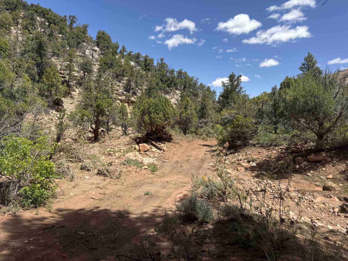
The trail surface is primarily gravel, with short but steep climbs and descents that have been shaped by water runoff. Expect ruts, off-camber ascents and descents, sandy sections, and several good-sized boulders that require careful tire placement. Overall, it's a scenic and rewarding trail with enough obstacles to keep the drive interesting.