Wellton, AZ to Muggins Mountain Trails access route

Total Miles18.4
Technical Rating
1Easy
Best TimeSpring, Summer, Fall, Winter
Trail TypeFull-Width Road
Accessible By
Open Trail Map

Trail Overview

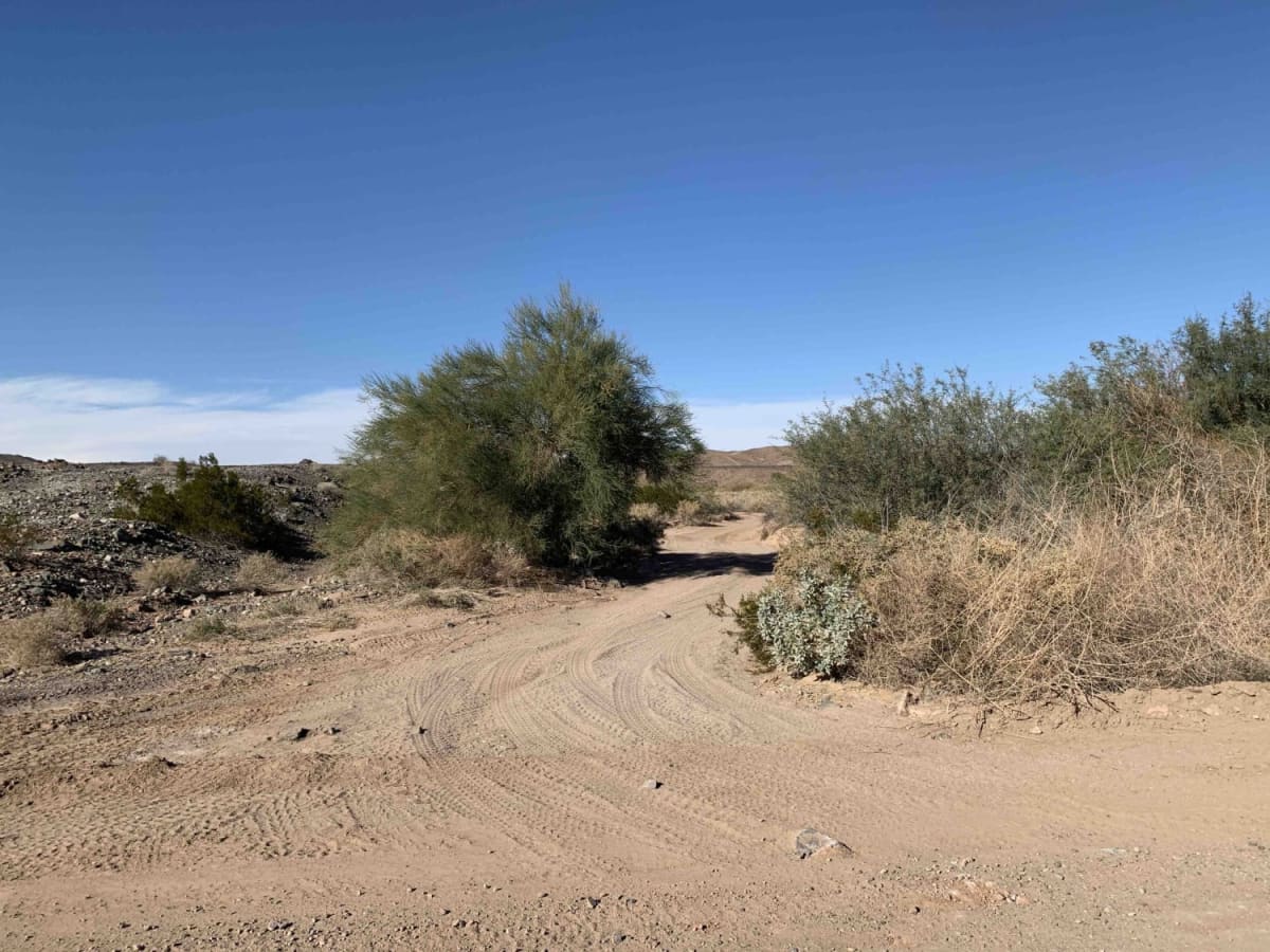
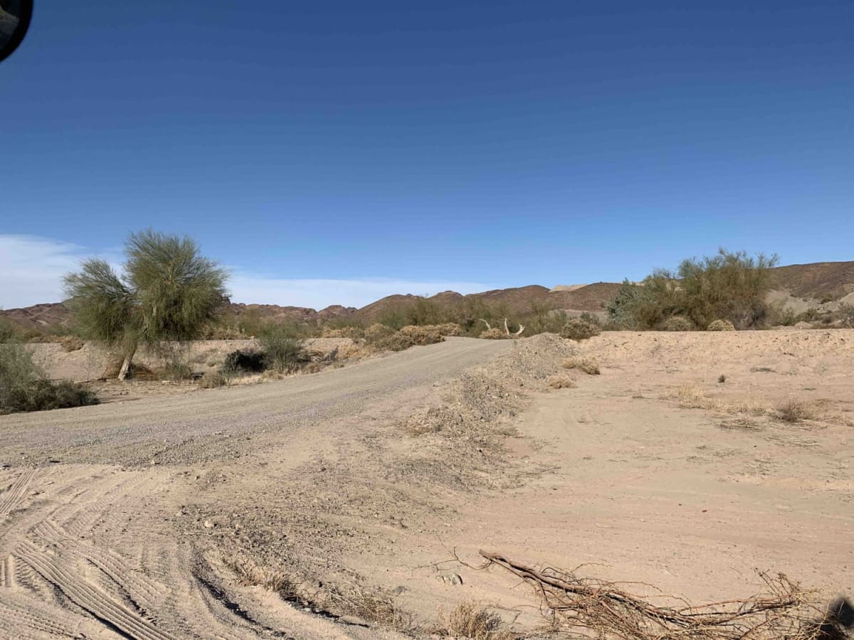
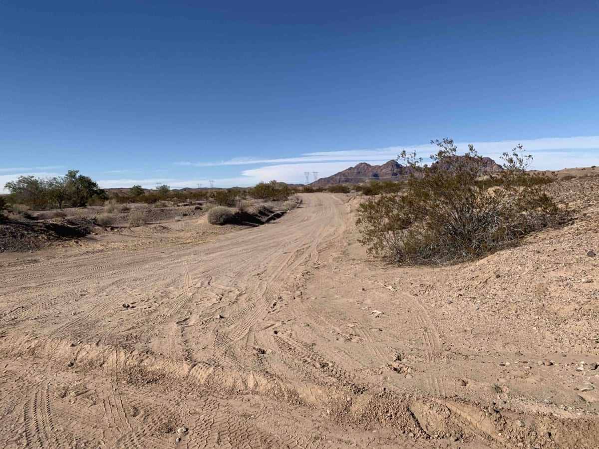
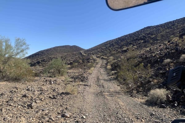
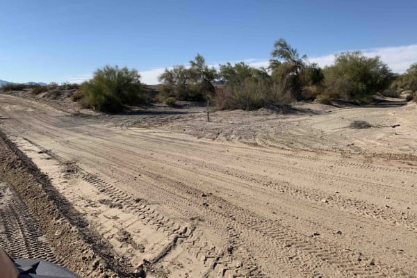
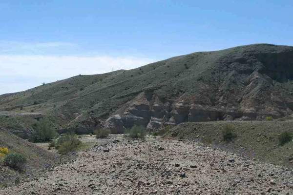
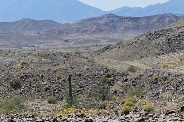
This 18.4-mile scenic connector provides a reliable, flat gravel route from Wellton, Arizona, to the trailheads of the Muggins Mountain Wilderness. Serving as the primary access to the Muggins Mountain West, Mid West, and East trails, the route follows canal roads and agricultural fields, avoiding the dead ends and seasonal flooding common on surrounding unmapped farm roads. Elevation along the route ranges from 200 to 283 feet. The wide, well-maintained gravel surfaces are suitable for standard two-wheel-drive passenger vehicles, allowing speeds up to 55 mph. Starting near Wellton off Interstate 8, the route heads north before ending near free dispersed camping spots at the base of the mountains.

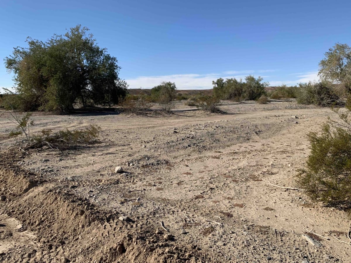
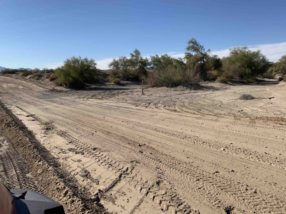
Photos of Wellton, AZ to Muggins Mountain Trails access route

Difficulty

This route traverses smooth, level gravel farm-to-market roads with plenty of room to pass, doing speeds of 55 mph.

Technical Rating

1

Wellton, AZ to Muggins Mountain Trails access route Trail can be accessed by the following ride types:

  • Single Track
  • 50 Inch
  • 60 Inch
  • High Clearance
  • Full Width

Wellton, AZ to Muggins Mountain Trails access route Map

The onX Offroad Difference

onX Offroad combines trail photos, descriptions, difficulty ratings, width restrictions, seasonality, and more in a user-friendly interface. Available on all devices, with offline access and full compatibility with CarPlay and Android Auto. Discover what you're missing today!

Open Trail Map