Trail Overview
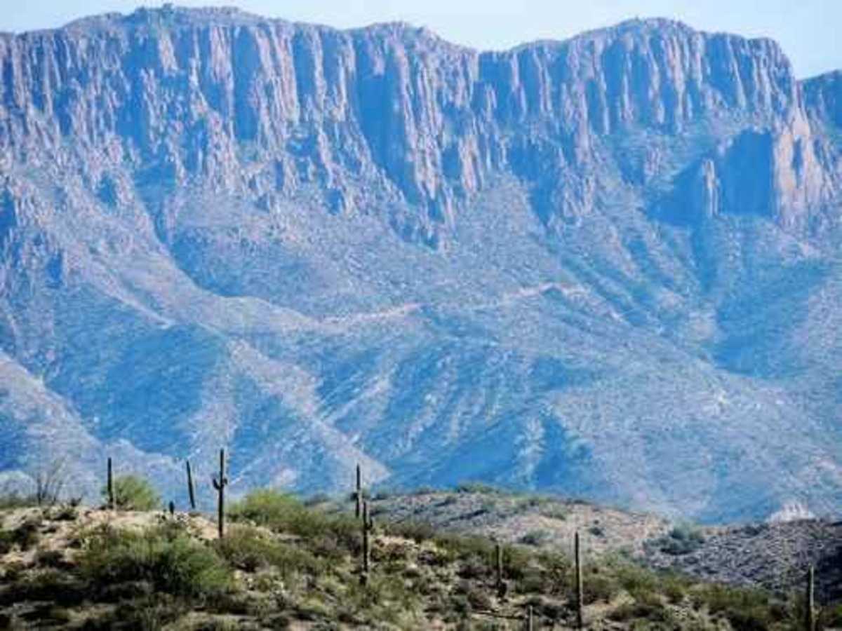
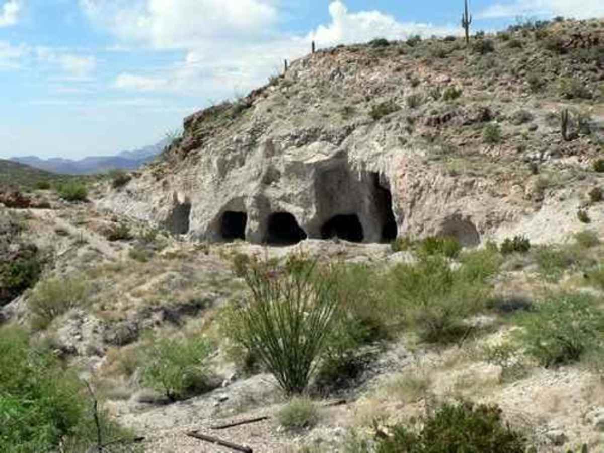
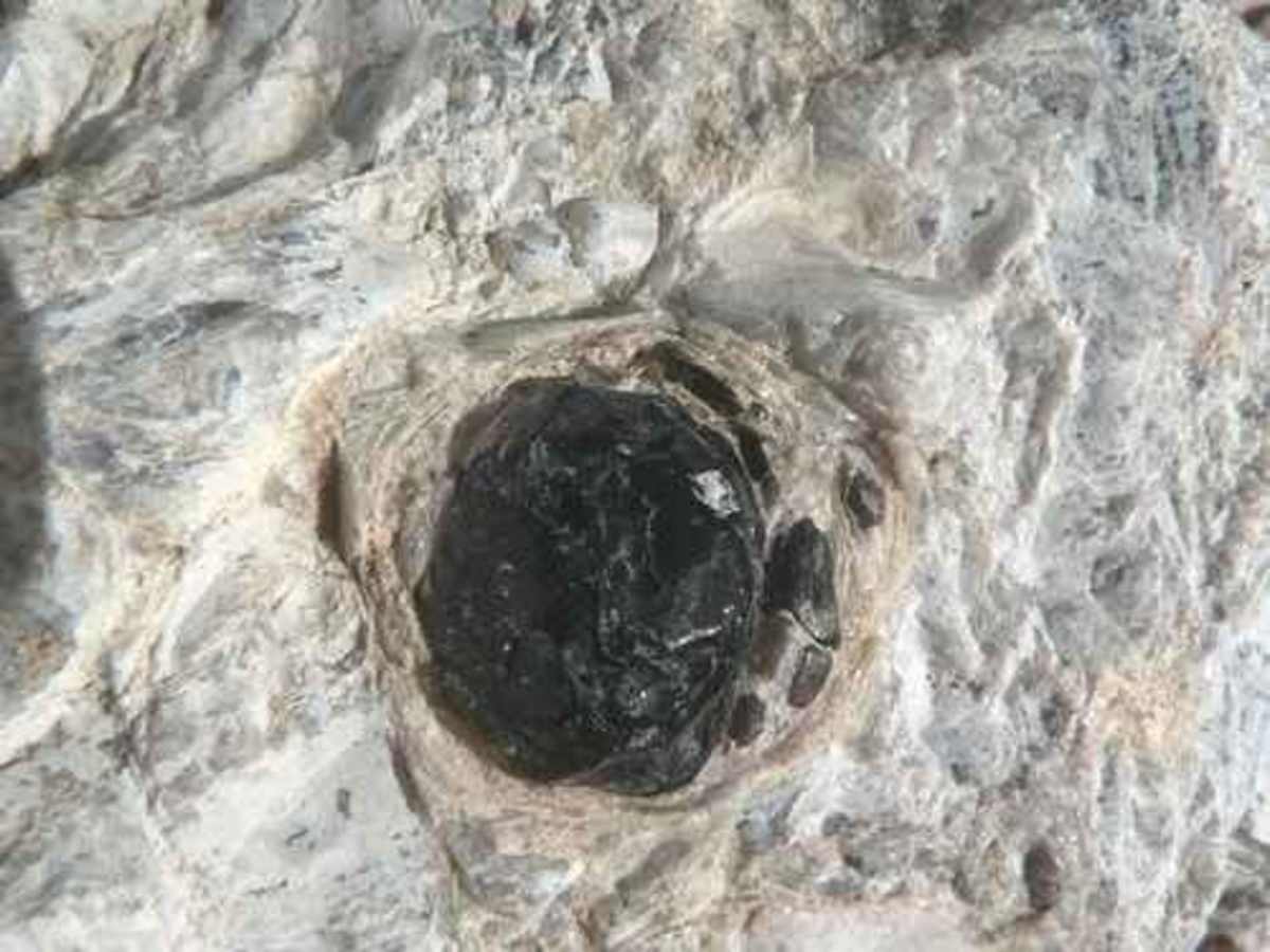
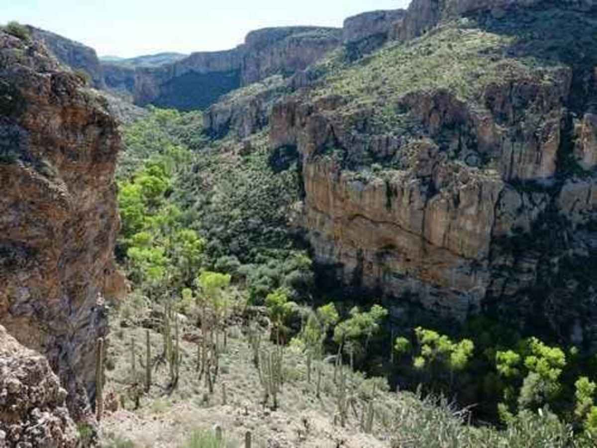
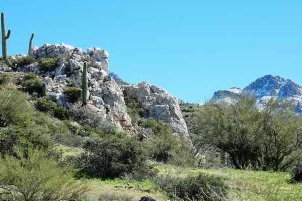
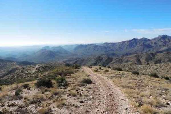
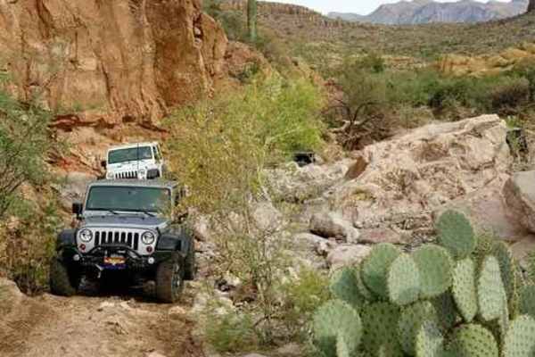
Begin at the east end of the airport and follow the trail to the Wagon Tracks. Head south across Queen Creek. The creek can have a natural flow of water after heavy rain, but it is usually only the outflow from the Superior wastewater treatment plant. Do not worry--no odor. Look east of Superior to see a high, steep cliff. This is "Apache Leap." Not far from the crossing, you will come to a gate and a bunch of rocks. This blocked road is a 0.6-mile hiking path to a spot where perlite was mined from the Perlite Caves. Apache Tears (obsidian nodules) are formed in nature. As obsidian (volcanic glass) flows become fractured and hydrated over eons of time, the original glass is altered to a white, flaky, mineral called perlite. Perlite has a variety of uses, including soil amendment and insulation. If the conversion of an obsidian mass is only partial, there can be residual nodules of obsidian encased in perlite. Although obsidian nodules can be found in many Western U.S. localities, the term Apache Tears should be attached only to those glassy obsidian nodules found near Apache Leap in Superior, Arizona. Apache tears can be chipped out of the perlite faces of abandoned quarries, but it is much easier to find them in the mining waste. Take a small implement to dig in the loose material. There are several abandoned quarries in the area, but the one called the "Perlite Caves" is the most interesting.
History
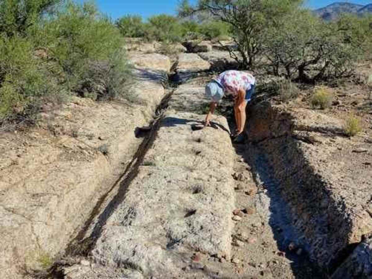
According to the Tom Kollenborn Chronicles, the tracks are the result of the ore wagons hauling silver ore from the Silver King Mine to the Pinal Mill on Queen Creek just west of this location during the late 1870s and early 1880s. The ore wagon road crossed a large deposit of welded volcanic tuff. This type of rock was not too resistant to the metal rims of the old wagon wheels carrying heavy loads of silver ore. The wagon wheels etched two deep ruts across this large deposit of welded volcanic tuff (ash). Each member of a mule team stepped in the same location as the mule ahead, thus the mule tracks also are visible today. The origins of the "Apache Leap" legend can be traced to U.S. soldiers stationed near present-day Superior in 1871. Although no official record exists of a skirmish between troops and Indians at what is now called Apache Leap, the legend may be based on fact. The legend relates that "Apache" warriors were trapped on the large rock ledge by cavalry troops from Camp Pinal. Rather than surrender, however, about 75 of the warriors leaped off the cliff to their deaths. It was because of this incident that the cliff became known as "Apache Leap." Relatives of those who died gathered a short distance from the base of the cliff and mourned their loved ones. Legend says their sadness was so great that their tears were embedded into black obsidian stones. When held to the light, they are said to reveal the translucent tear of the Apache.