Trail Overview
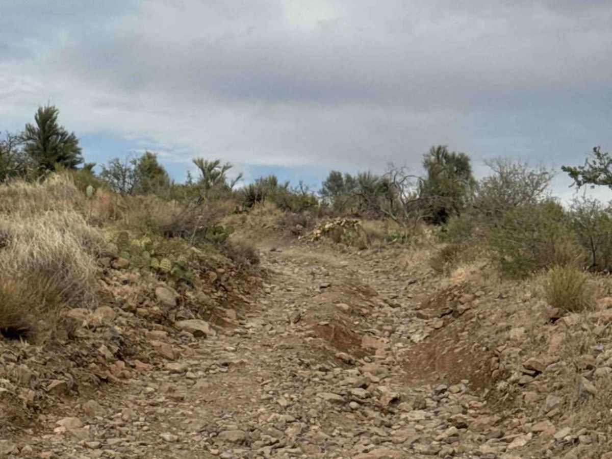
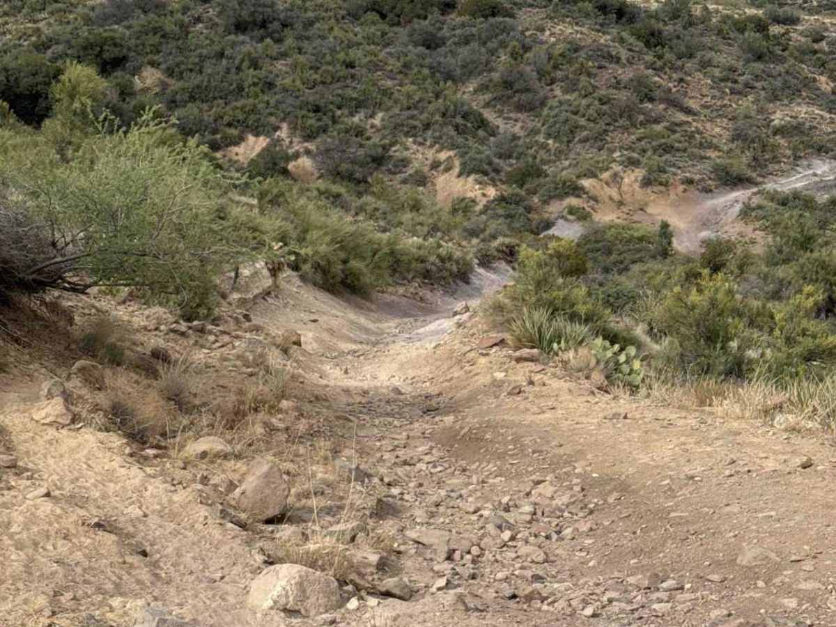
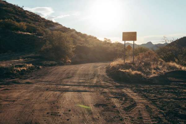
This trail begins off Mina Road and starts as a shelf road for the first 0.5 mile, consisting of loose gravel and rocks up to 6 inches in diameter. The route then turns right and descends a steep hill to the south before making a hard left down another steep, sandy hill. A high-clearance 4WD vehicle is recommended.
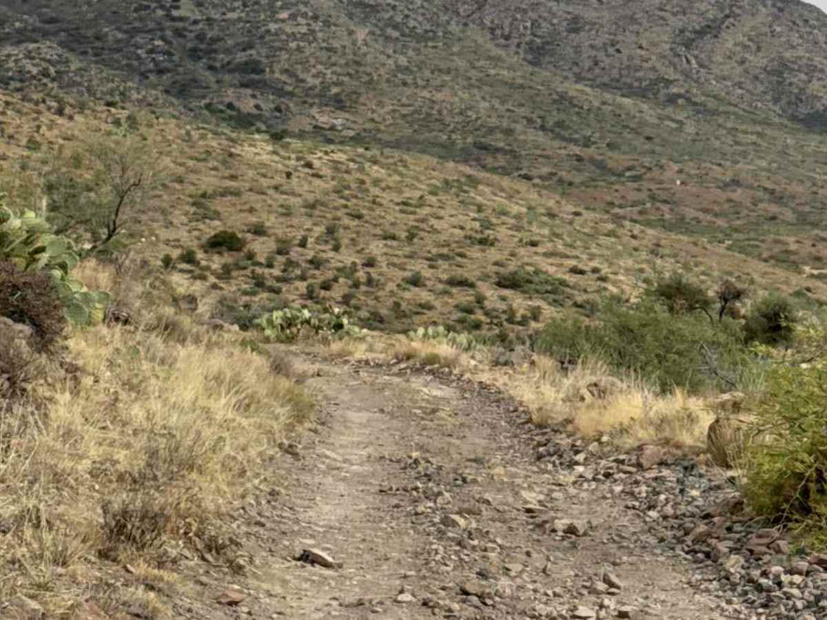
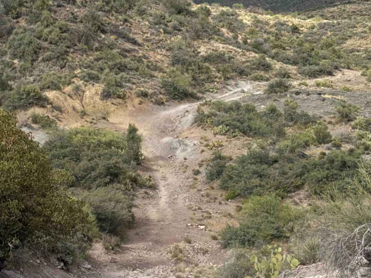
This sandy descent contains a V-notch obstacle. Stay centered and ride the two higher sides of the notch as you work your way down. At the bottom, you'll climb a sandy, rocky hill back up the opposite side. The trail narrows briefly, and at the top of the hill, you'll turn left into a mild rock garden. While not technical, careful tire placement is recommended.
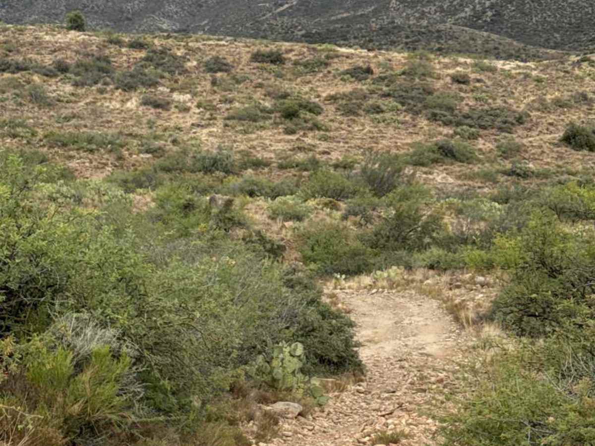
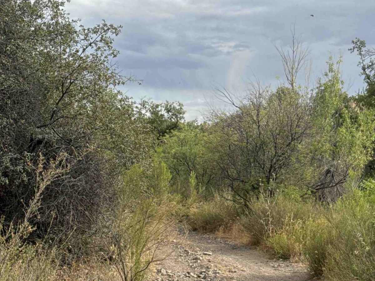
The trail continues with another steep descent into a wash, where it makes a hard right turn and becomes narrow with overgrown vegetation before crossing to the opposite side. It winds through several more turns before ending at an open fence.
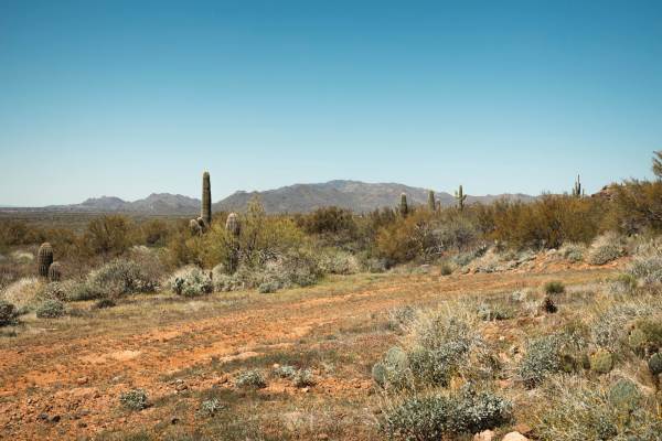
Obstacles along this route are enjoyable but not extreme by any definition. Be mindful of wheel placement, soft sandy terrain, and loose rocks ranging from 6 to 12 inches in diameter. The trail is surrounded by natural grasses, prickly pear cactus, and desert creosote, with beautiful mountain views in every direction. It is an excellent choice for an early sunset drive.
A State Trust Land Permit is required. This trail is not recommended during or immediately after bad weather due to the sandy washes and erosion-prone hillsides.
Difficulty
Rock garden, shelf road area, V-notch, sandy section, steep hill down and up, loose gravel, and 4WD high clearance required.


 Offroad