Trail Overview
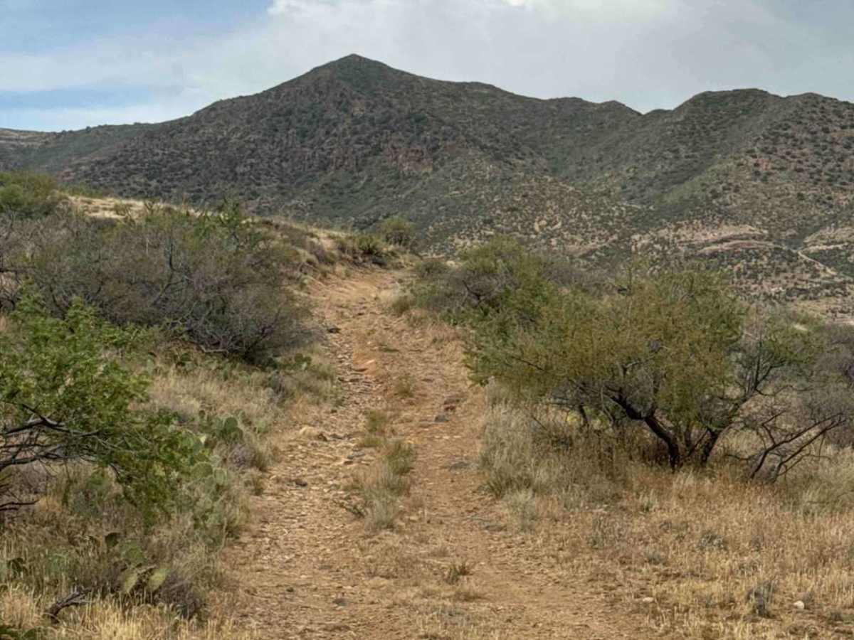
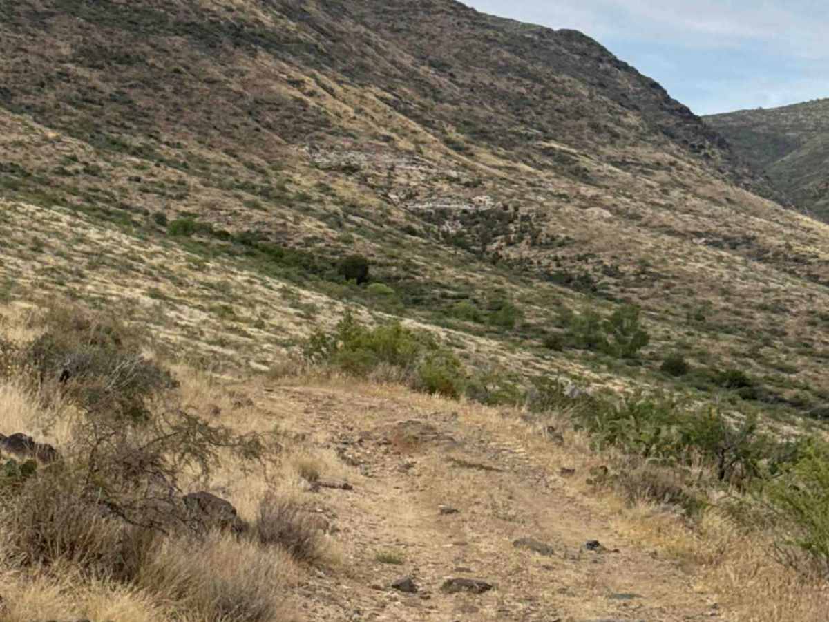
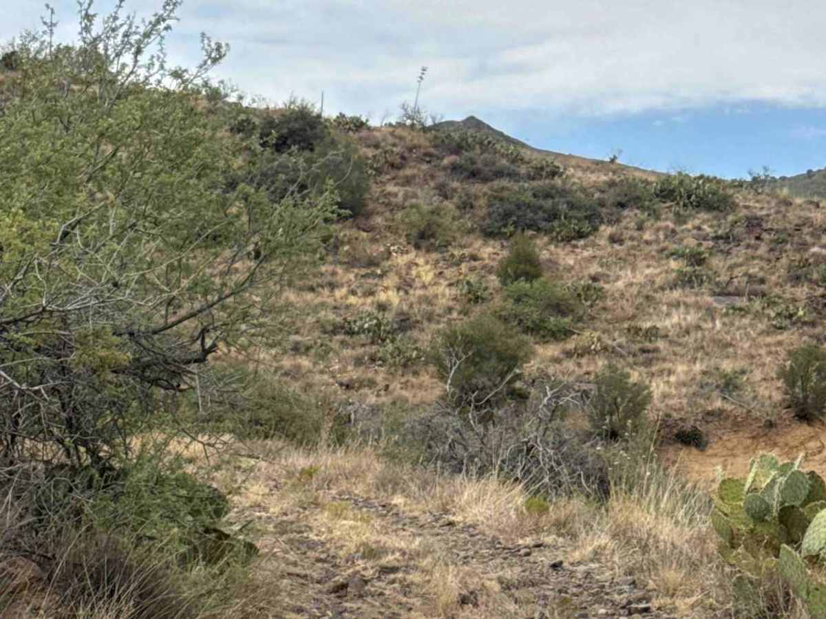
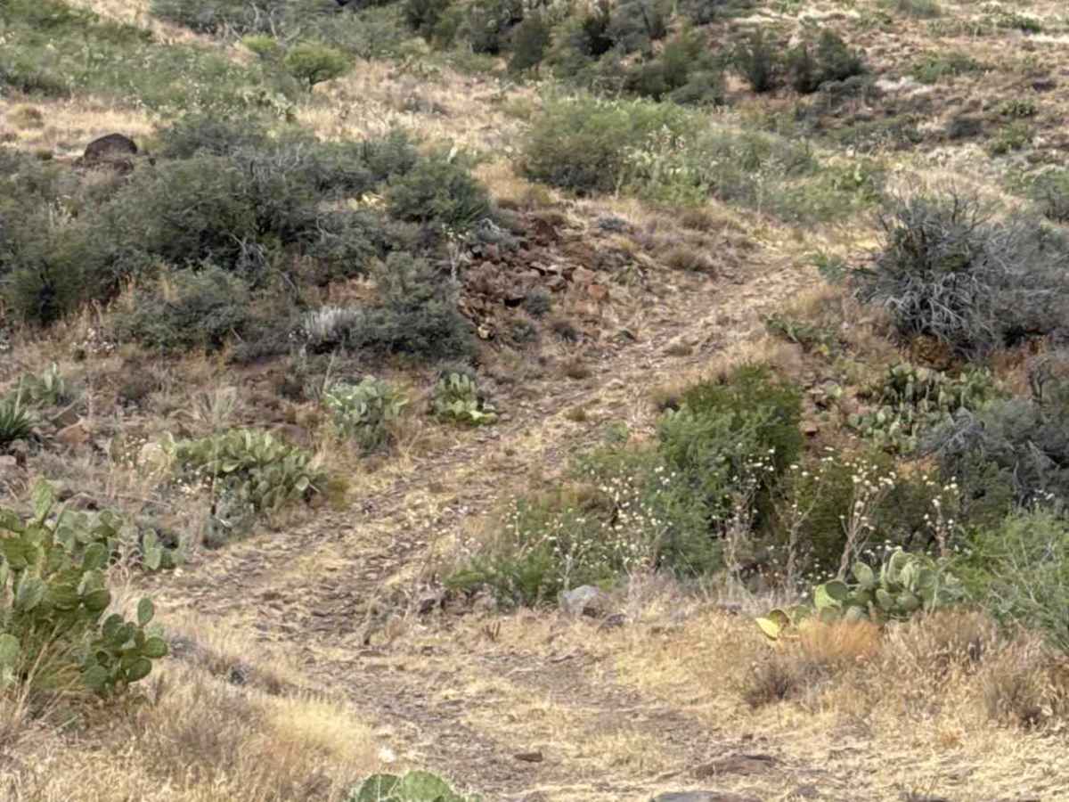
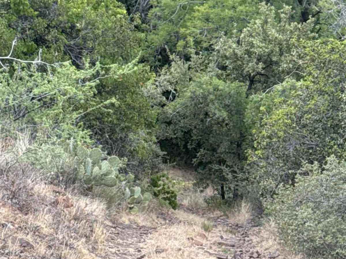
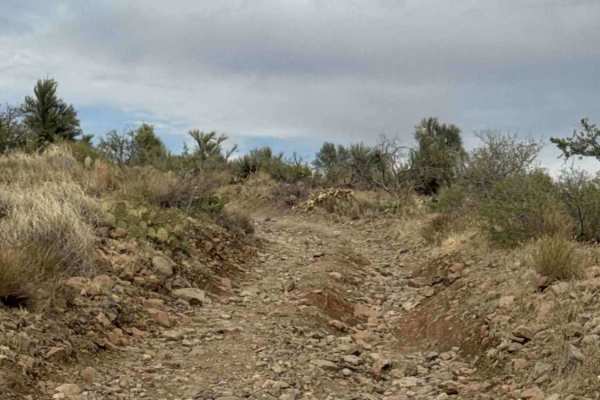
BLM 36046 begins at the end of Trail 36043 Connector and follows a natural full-width two-track through mountainous terrain. Expect scattered loose gravel and embedded rocks up to 12 inches in diameter, with grasses growing along the center of the trail. The route winds from hillside to hillside, where washouts are common on transition curves. Keep wide turns along the hillside sections and watch for erosion. The trail gradually descends toward a spring, where the increased moisture supports dense, overgrown trees that stand out from the surrounding desert vegetation.
At the base of the hill, make a sharp right turn and continue along the heavily treed corridor to Trail 36048. There are no specific obstacles; however, drivers should pick careful lines around larger rocks, know their line on the steep climbs, and remain alert for washouts on transitions. Overall, this is an easy full-width trail offering a pleasant drive through scenic mountain terrain.
Difficulty
Large gravel rocks, 6-12” loose gravel, wash outs on transitions, shelf road sections, and overgrown trees at the spring at the end of the trail. Be prepared to trim some trees to get through.