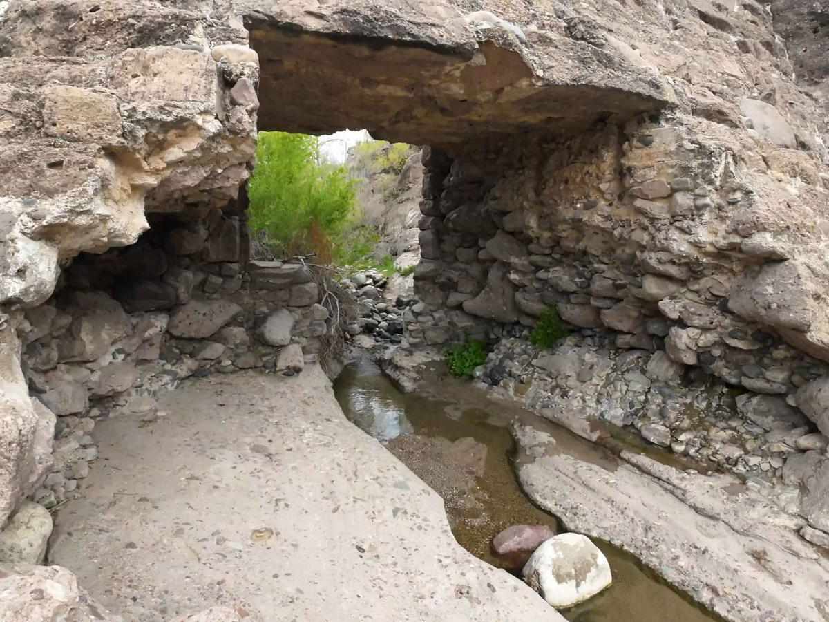
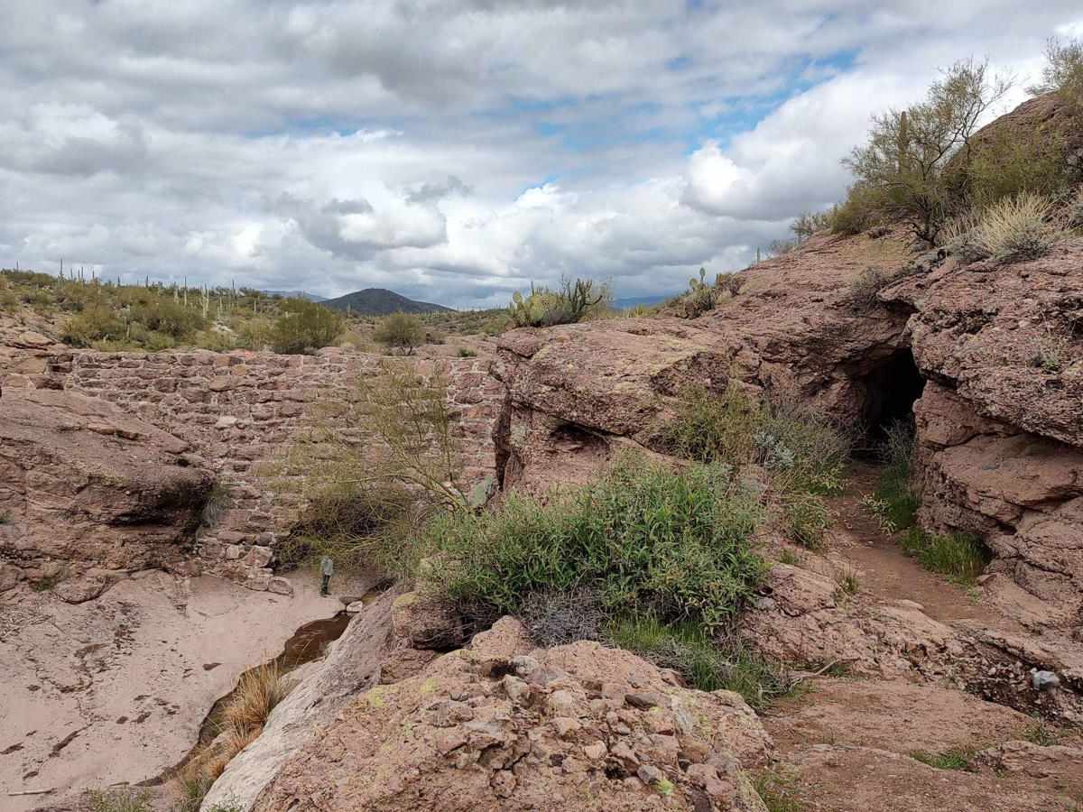
Upstream Access to China Dam

Total Miles 0.8
Technical Rating
3 Easy
Best Time Spring, Summer, Fall, Winter
Trail Type Full-Width Road
Accessible By
Open Trail Map

Trail Overview

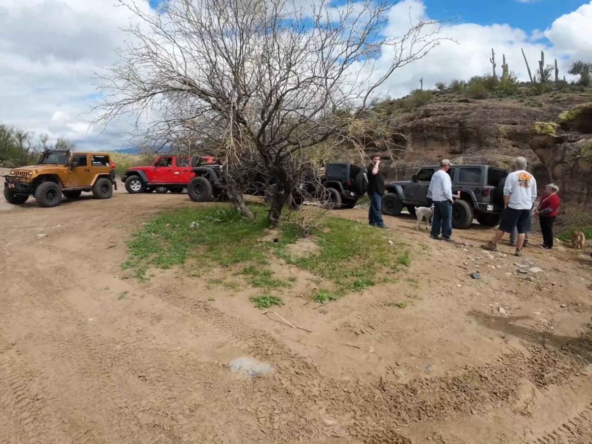
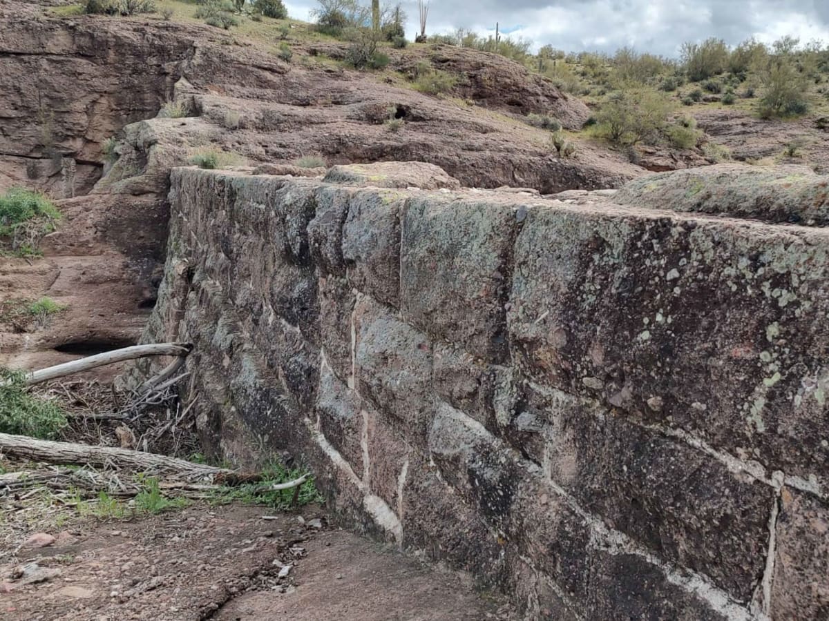
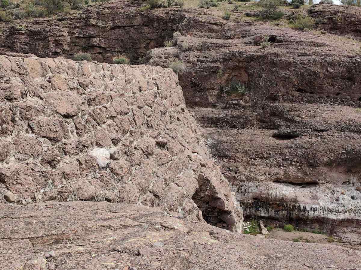
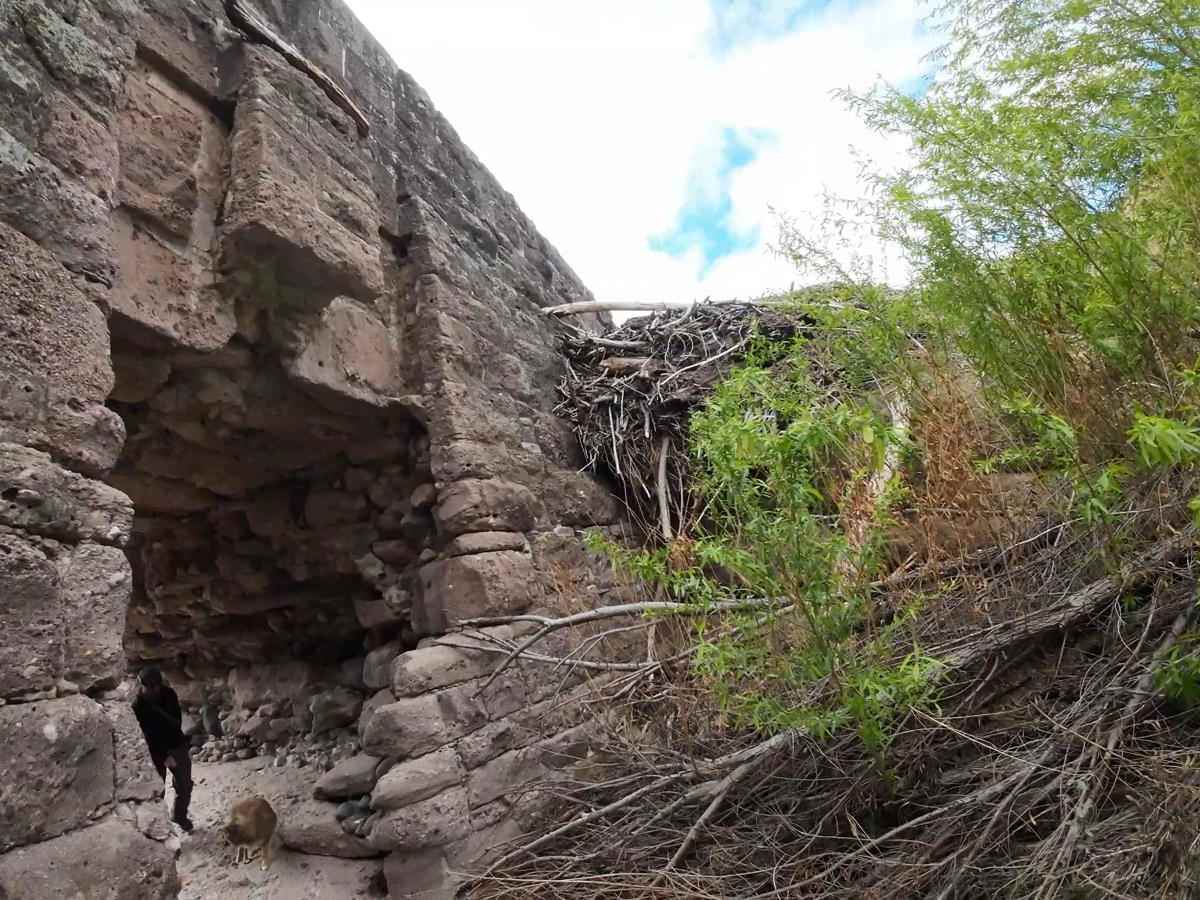
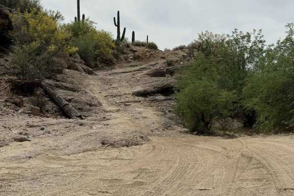
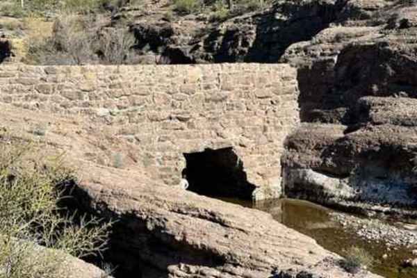
At these coordinates (33.97503 N, -112.30643 W) on Cow Creek Road, there is a Y in the road. If you take a right here, the trail will continue to the creek and eventually, Tule Homestead. If you take a left here, you can continue down into the creek to a small staging area upstream from the China Dam for a nice side trip. From this staging area, you will have access to the area around the dam for pictures, some brief hiking, and some exploration. Please take care to know your limitations hiking in this area. Also, take care during the monsoon season if you plan on visiting this area. The trail is easy except for the final descent into the creek. It is steep but not difficult. The staging area is small but you could likely fit 7-10 small vehicles here. Please be respectful to other visitors. Follow Tread Lightly principles;take only pictures and leave only footprints.

Photos of Upstream Access to China Dam

Difficulty

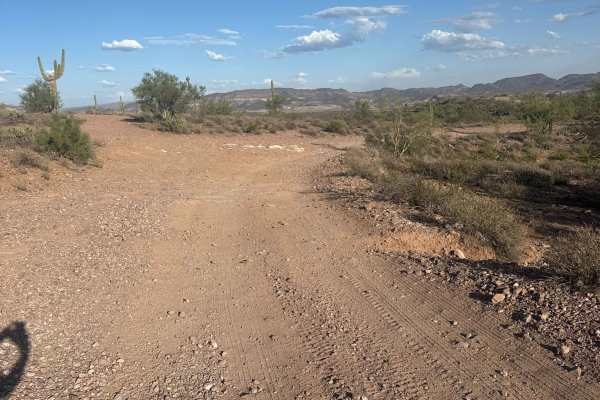
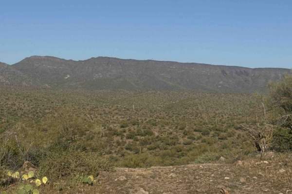
This route is bumpy and dirt but it is easy. The only difficult section is the last decent into the creek, which is easy on the way to the creek but will be a little steep on the climb out. It will likely require 4 low for safety and added vehicle control. The staging area is sandy but should be easily passable. Drivers should exercise common sense and judgement about approaching the creek in high water level times of the year, including monsoon season.

Technical Rating

3

Status Reports

Add Status Report
Jim W
Dec 27, 2025
Open
The trail was pleasant, though a little crowded when I arrived. I counted eight vehicles, three bikes, and two hikers. There must have been around 20 people or more nearby, and the whole time I spotted about 30 vehicles on the trail.
Ron S
Aug 17, 2025
Open
This is a great trail for someone new to off-roading (like us), with an awesome destination. The trail is wide and in great condition. There are only a few rocky areas, one rocky hill, and a few step ups... but none of them are too challenging. The most challenging is the rocky hill at the end going down to the river. We did this route in our 2025 Wrangler JL; stock with 31" A/T Tires. Total time each way 35 minutes (from the turn-off on Cow Creek Rd). The Old China Dam destination is a really cool place to hike around and take some pictures. There are a few shade trees there which makes it a great place to enjoy lunch or just a bit of relaxing.
CTS T
Dec 29, 2024
Open
Eagle closure

Upstream Access to China Dam Trail can be accessed by the following ride types:

  • Single Track
  • 50 Inch
  • 60 Inch
  • High Clearance
  • Full Width

Upstream Access to China Dam Map

The onX Offroad Difference

onX Offroad combines trail photos, descriptions, difficulty ratings, width restrictions, seasonality, and more in a user-friendly interface. Available on all devices, with offline access and full compatibility with CarPlay and Android Auto. Discover what you're missing today!

Open Trail Map