Upper Providencia

Total Miles9.2
Technical Rating
3Easy
Best TimeSpring, Winter, Fall
Trail TypeFull-Width Road
Accessible By
Open Trail Map

Trail Overview

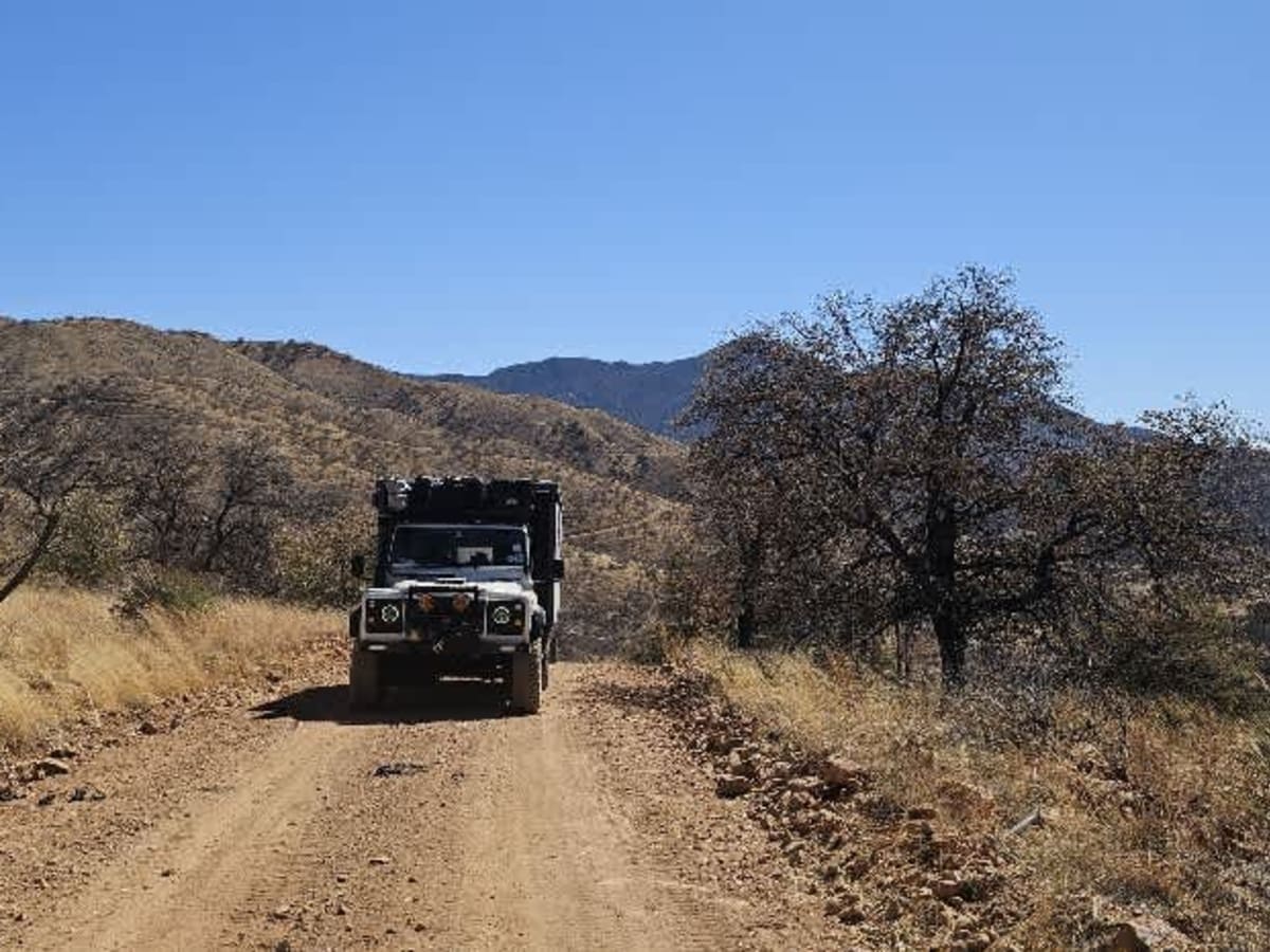
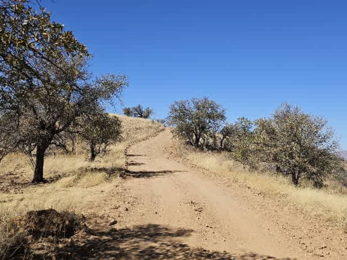
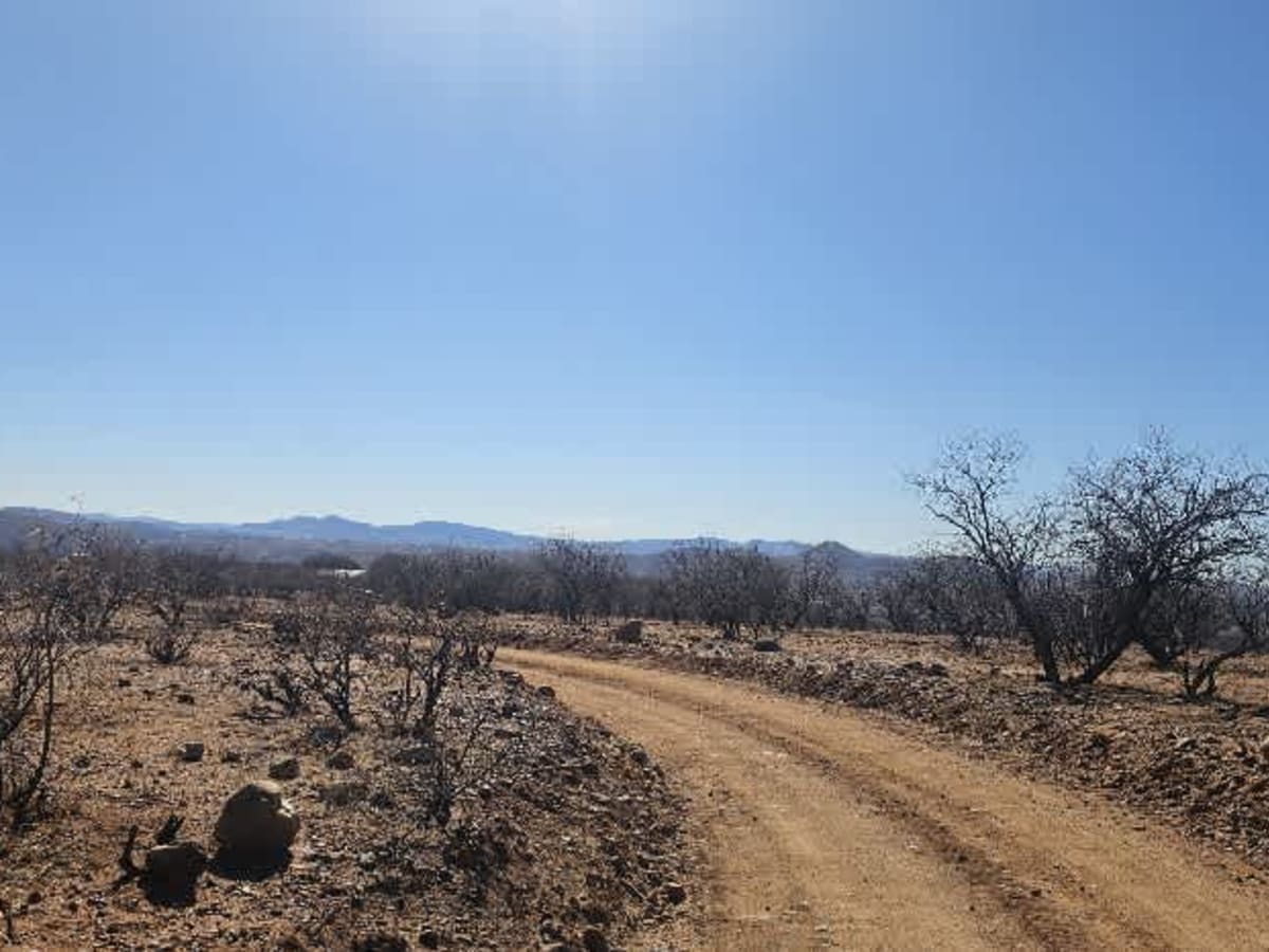
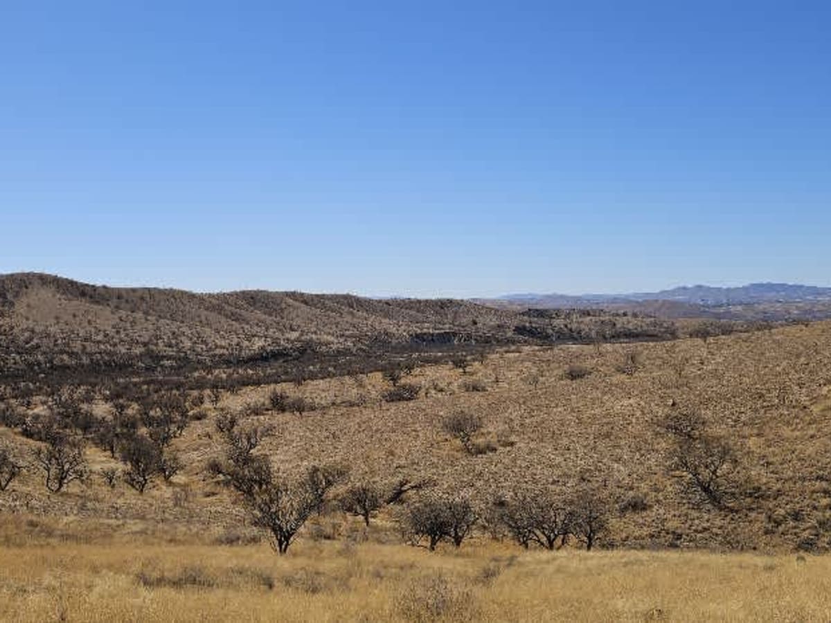
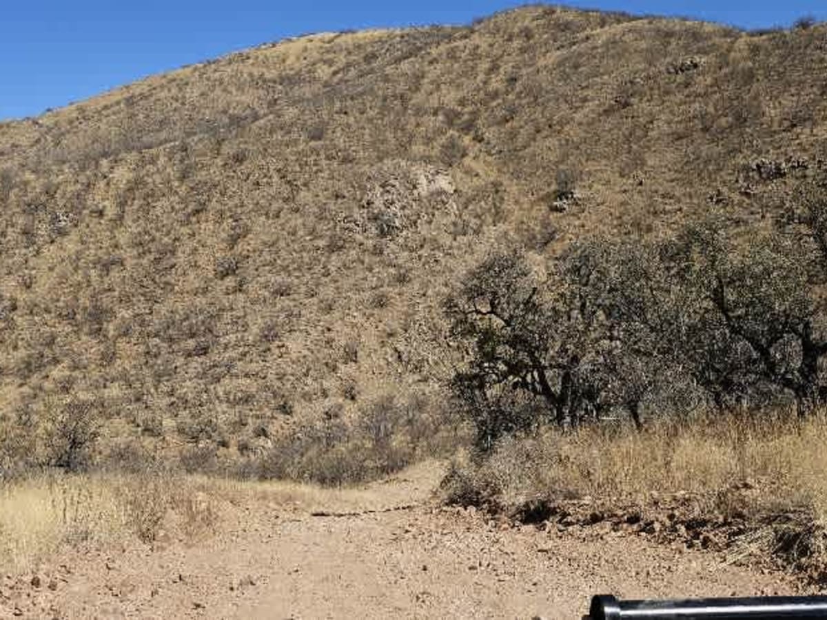
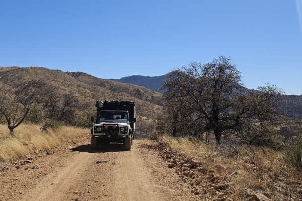
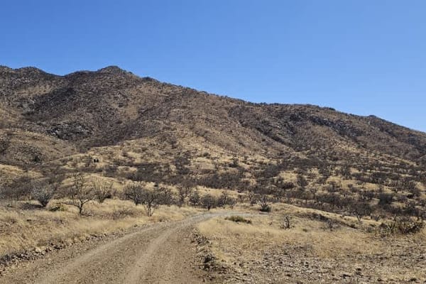
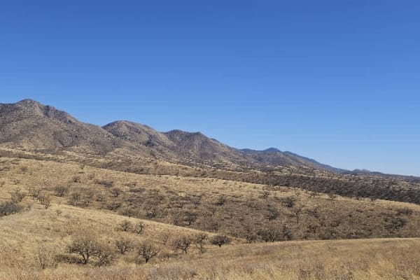
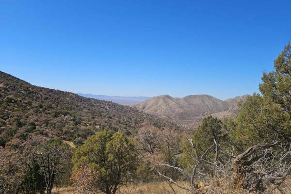
At the start of this trail is a large campsite with fire rings in an area passed often by border patrol. At first, the trail is well-maintained and flat, but that changes as you climb into more mountainous areas. The trail leads to a steep climb that ideally requires a low range, immediately followed by a steep descent with large and loose rocks and off-camber ditches caused by spinning wheels and erosion. After the initial excitement, the trail becomes more gentle but remains dusty, rocky, winding, and narrow in sections. Pinstriping is possible, but the views are awesome, and we came across Coues' white-tailed deer. There are no facilities for trash, water, or ablutions, and there is very little traffic with very little dispersed camping.

Photos of Upper Providencia

Difficulty

Most of the trail is winding, dusty, and rocky, with occasional steep inclines and declines.

Technical Rating

3

Status Reports

Add Status Report
Brian Gabel
Nov 18, 2025
Open
Very steep and loose rocky road makes it impassable with trailer.
Joe Mason
Apr 24, 2025
Open
Fun road, the photo is an adit from a side road to the Buena Vista mine (very rutted and steep but good turnaround at end, 7/10)

Upper Providencia Trail can be accessed by the following ride types:

  • 50 Inch
  • 60 Inch
  • High Clearance
  • Full Width

Upper Providencia Map

The onX Offroad Difference

onX Offroad combines trail photos, descriptions, difficulty ratings, width restrictions, seasonality, and more in a user-friendly interface. Available on all devices, with offline access and full compatibility with CarPlay and Android Auto. Discover what you're missing today!

Open Trail Map