Trail Overview
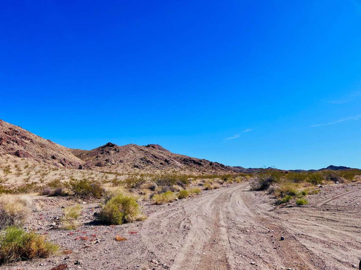
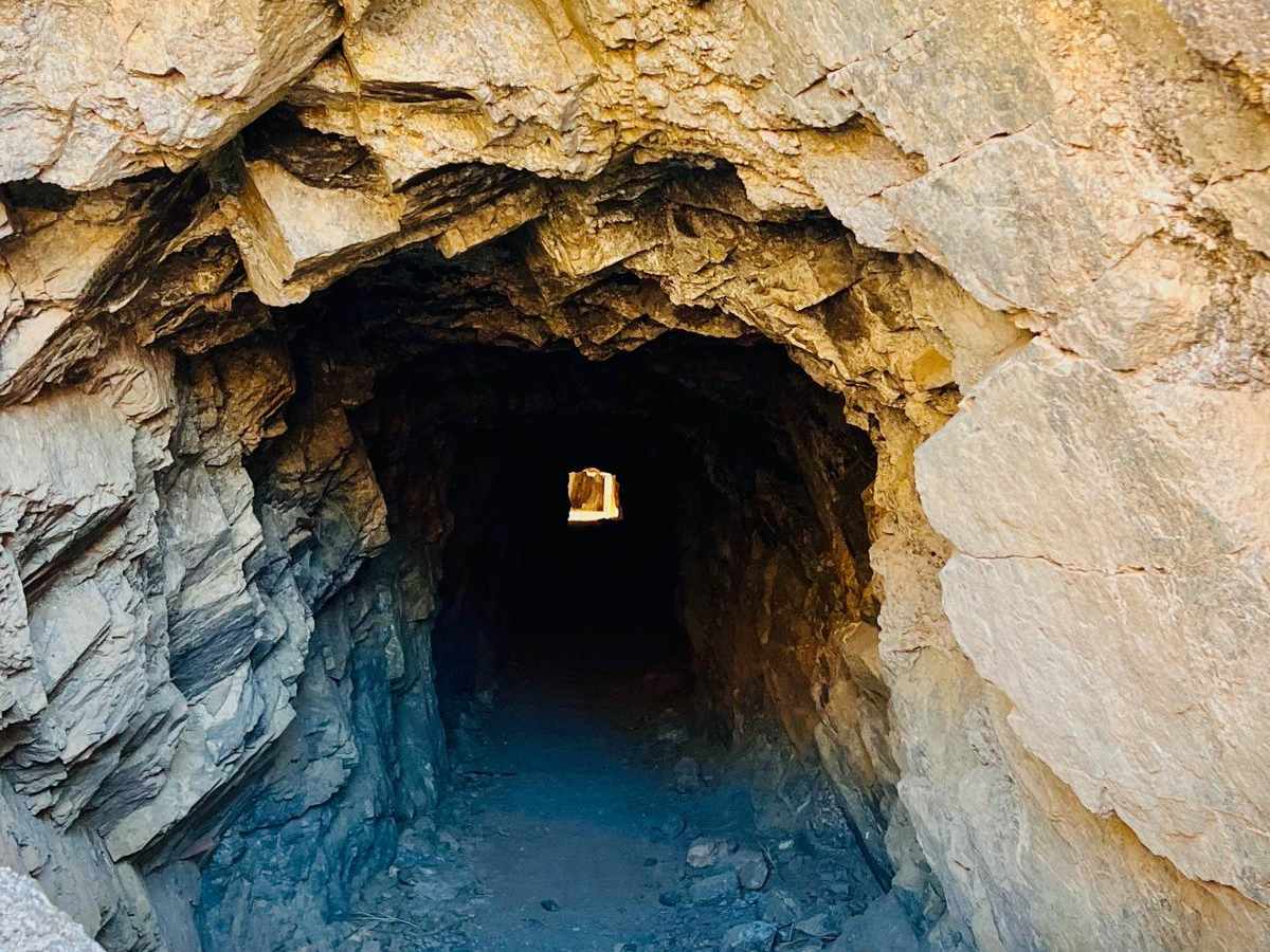
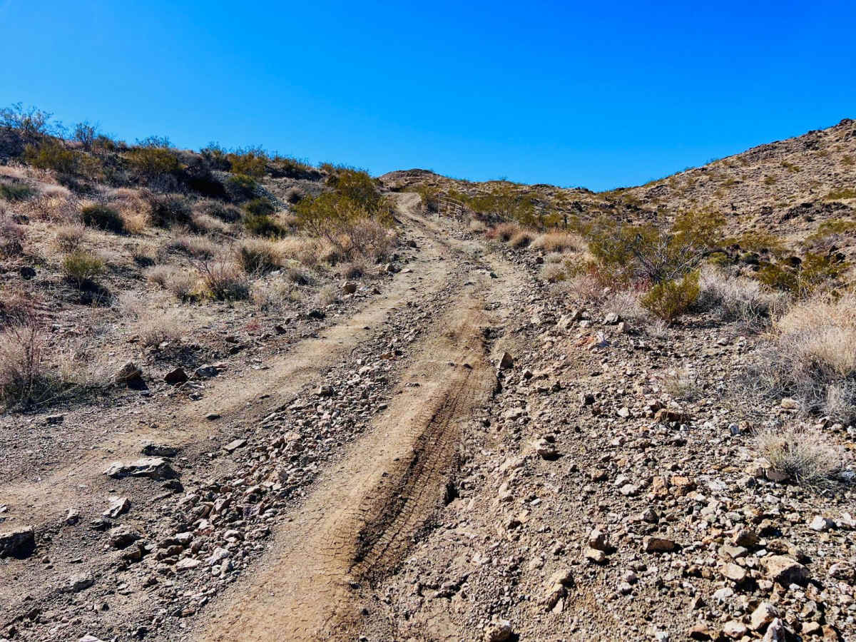
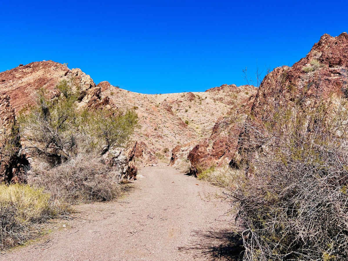
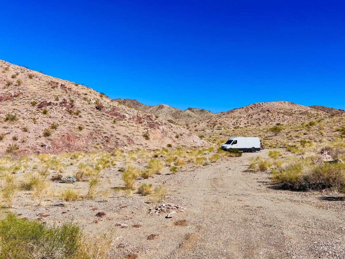
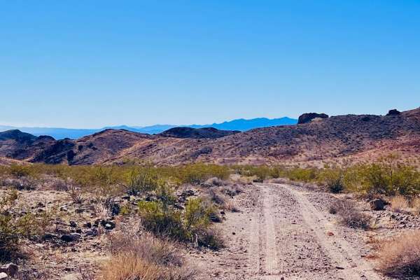
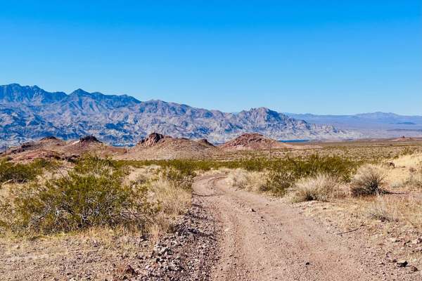
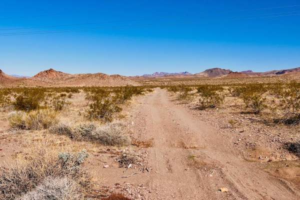
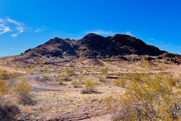
This trail can be accessed off of Katherine Mine Trail, which is a wide-open, easy, graded trail. The Tyro Mine trail narrows immediately and turns into a mild sandy wash. There is a little mini-slot canyon to the left, a quarter of a mile in. Multiple dispersed campsites at the beginning of this trail are easily accessible by vans or smaller motorhomes. As the trail continues into the mountains, the surface type changes from sand to rocky. The trail is doable by a standard high-clearance 4x4 vehicle. Keep your eye out for extreme offshoots to other mines, and stay on this trail if not looking for anything challenging. Exploration is allowed in the area. The trail will drop into a small wash before climbing some switchbacks up to Tyro Mine. Here, you'll find a large parking area, a fire pit in the center, and a sign with access to one of the main holes. It appears there are more areas to explore on foot. Around the curve from the Tyro Mine entrance at the top of the hill is cell service and a view of the lake. The trail then heads up a steep hill climb. There are stunning views at the top, and it descends into another valley. At this point, the trail turns into a sandy wash and weaves through the bushes until it meets Princess Mine Trail Road. This trail can be driven from either end and picked up from the Princess Mine trail as well. This area can also get extremely hot in the summer months. Bring extra water and supplies if traveling during the summer.
Difficulty
The trail is narrow and has long sandy washes. At Tyro Mine, there are steep, loose hill climbs and rocky descents.
History
During 1915 and 1916, the Tyro shaft was sunk to a depth of 500 feet, and some drifting was done on the 200-foot level. Some ore was produced from small pockets near the surface. During 1933-1934, W. E. Whalley and C. F. Weeks, lessees, built a road from the mine to the Katherine highway and began production from surface cuts on the vein. These owners failed to make a go of it and closed the mine.