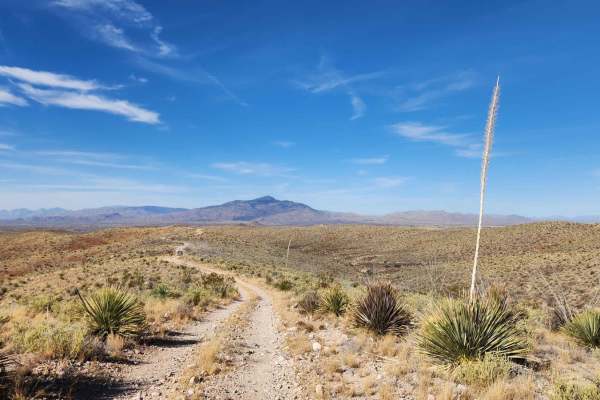
Total Wreck Mine

Total Miles 14.9
Technical Rating
6 Moderate
Best Time Winter, Fall, Spring, Summer
Trail Type Full-Width Road
Accessible By
Open Trail Map

Trail Overview

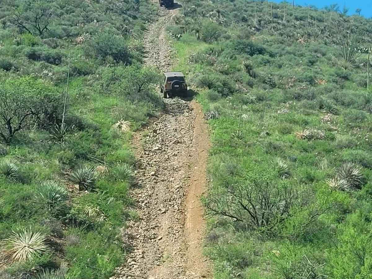
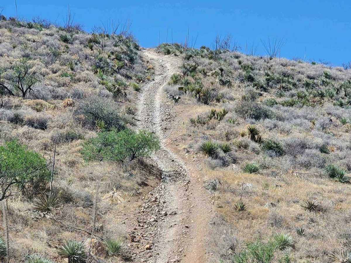
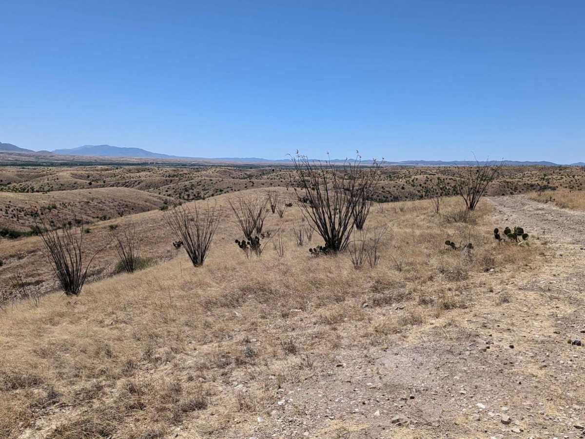
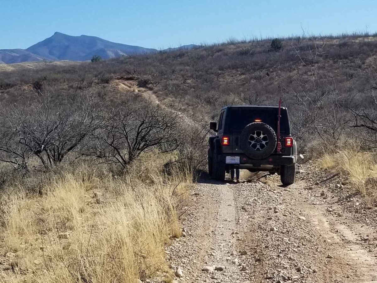
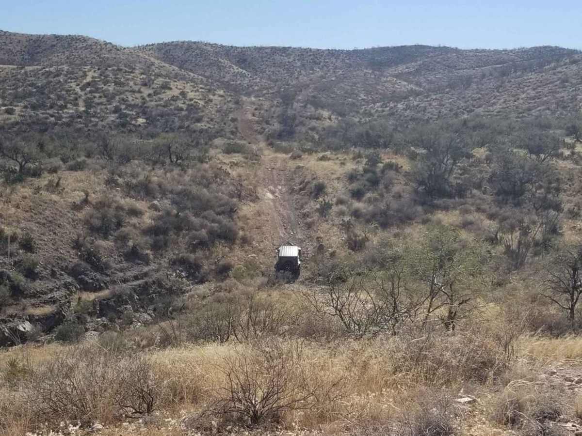
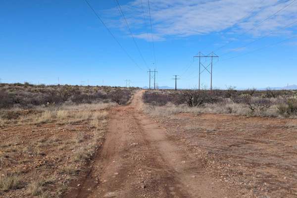
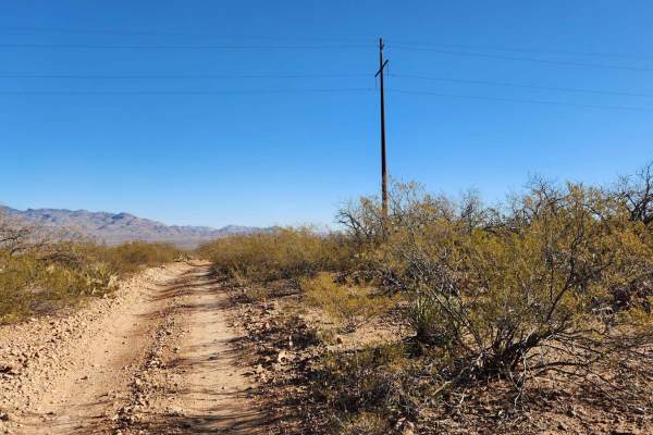
The Total Wreck Mine Trail is perfect for off-road enthusiasts seeking an exhilarating adventure. The trail features challenging terrain with rocky, rutted, off-camber areas, and steep inclines that will test your skills and your vehicle's capabilities. You can start the trail from the Power Line Trail to the north or begin at East Yucca Farm Road or East Empire Ranch Road, which is typically considered riding backward. Be sure to check the weather conditions before heading out, as rain or snow could affect the road. Traveling on back roads can be risky, so always be mindful of weather and road conditions. Carry plenty of water, never travel alone, and inform someone of your plans. State Trust Permits are required for this area. Since cell service is unreliable, it's a good idea to download your map before your trip. The time to complete the trail and its difficulty depend on various factors, including the type of vehicle used and the riders' capabilities.

Photos of Total Wreck Mine

Difficulty

This trail includes multiple wash crossings that may have water, depending on recent rainfall. It also features several steep and rocky hill climbs, where having at least a rear locker will be beneficial. It is highly recommended to have a spare tire, as well as being prepared to encounter several large to medium ruts.

History

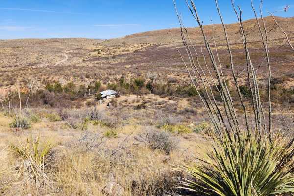
The Total Wreck Mine has a rich historical significance in the mining industry. It was initially discovered in 1879 by a cowboy named John Dilden, who also is credited with naming the Empire Mountains, and his boss, Walter L. Vail, owner of the Empire Ranch and the namesake (along with his brother Edward) for the town of Vail. In 1883, with the mine in full swing, there were about 50 homes, four saloons, three hotels, a bank, and a brewery. Around 1884 or 1885, the mining operation lessened and eventually stopped. In 1890, with just a small population remaining, the post office closed, and most of the residents slowly moved away in search of work elsewhere in Arizona's thriving mining districts.

Technical Rating

6

Status Reports

Add Status Report
David White
Aug 02, 2025
Open
loved this ride in our teryx 4s. was challenging. some very steep climbs. lots of fun.
Randy G
Feb 02, 2025
Open
31.89647, -110.59067 I have added the exact coordinates for the mines. Most obstacles have secondary routes.
Rossepickles pickles
Dec 20, 2024
Open
Large and loose rocks, erosion of the embedded rocks make for fun obstacles. More trail erosion in the rougher spots to include hill climbs and descents. Overall very fun!
Randy Robichaud
Nov 20, 2024
Open
A beautiful Run for a beautiful day. has some challenges if you want it or you can do the bypasses. either way great trail.
Jason Ransdell
Oct 27, 2024
Open
Lots of up-and-down roads. My tires are on their last leg so it was a little more slippy than I would like. I never did locate the mine. I took the Powerline Rd to The Total Wreck trail. You are completely exposed to the sun and there is not much of a breeze until you get a bit further into the trail. I would do this one again after some Monsoon or winter precipitation… the scenery would be spectacular. This would would be a lot fun in side-by-side or Polaris. Saw some birds and chipmunks. I exited on to the ranch loop at my first opportunity. My tires were in bad shape to start this run and were much worse afterwards. The Ranch loop is mostly sand and takes thru some lush areas. The cottonwood trees in this area were immense. The views of the Rincons and Santa Rita’s are good.
Ron Root
Jul 13, 2024
Open
it's a pretty easy Trail there's a couple spots with some washed out sections and a few loose dry climbs but nothing major. I would rate it a level four at best. perhaps it seems worse to people who never been on much worse trails

Total Wreck Mine Trail can be accessed by the following ride types:

  • Single Track
  • 50 Inch
  • 60 Inch
  • High Clearance
  • Full Width

Total Wreck Mine Map

The onX Offroad Difference

onX Offroad combines trail photos, descriptions, difficulty ratings, width restrictions, seasonality, and more in a user-friendly interface. Available on all devices, with offline access and full compatibility with CarPlay and Android Auto. Discover what you're missing today!

Open Trail Map