Trail Overview
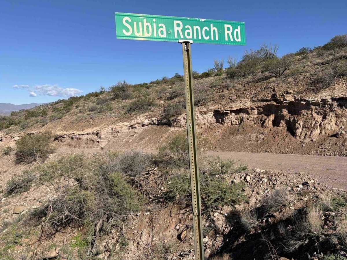
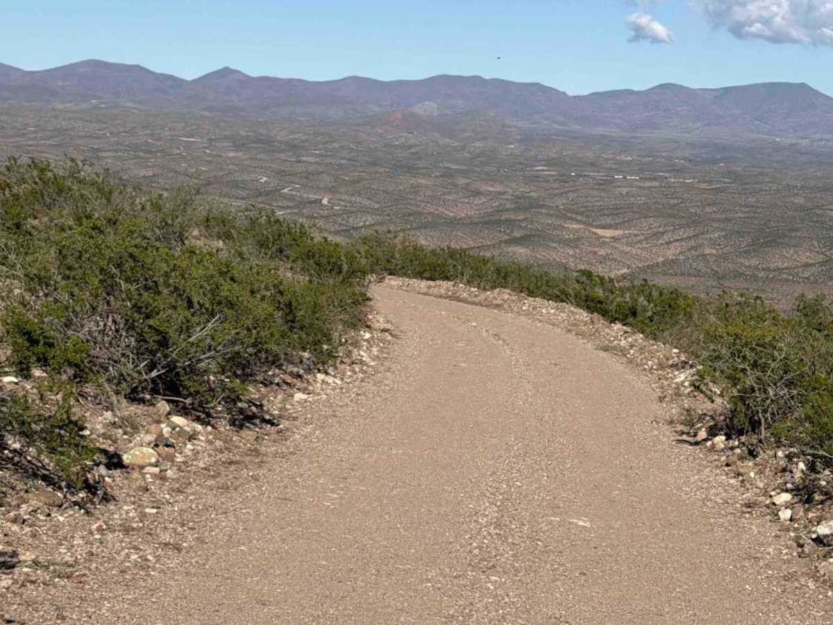
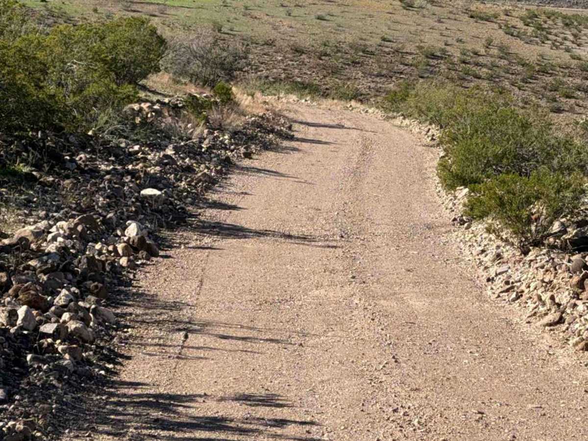
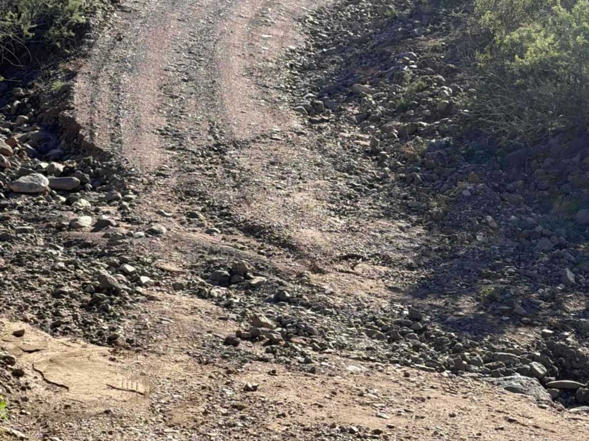
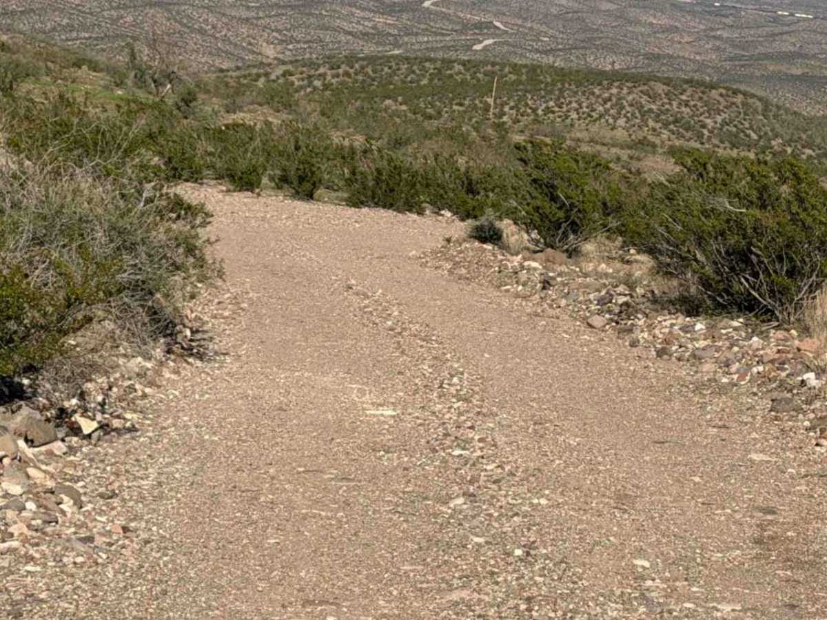
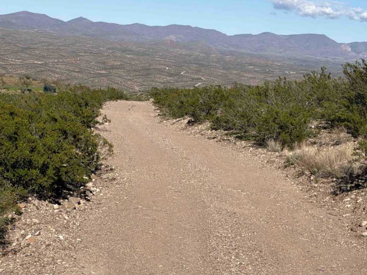
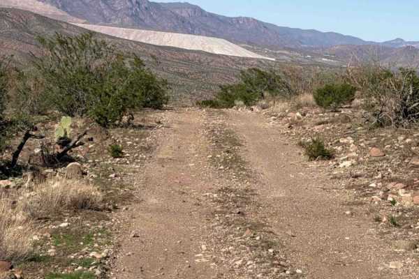
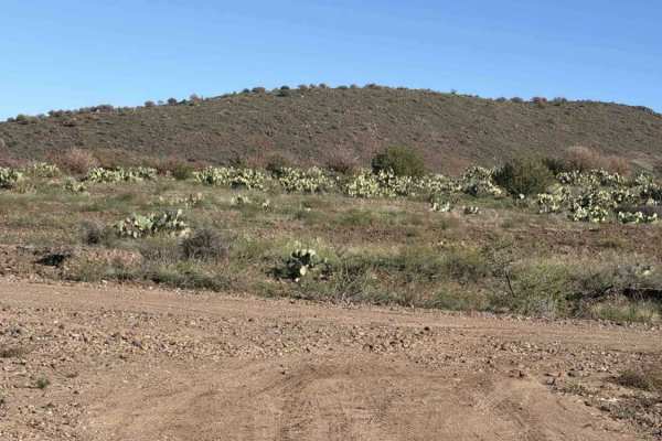
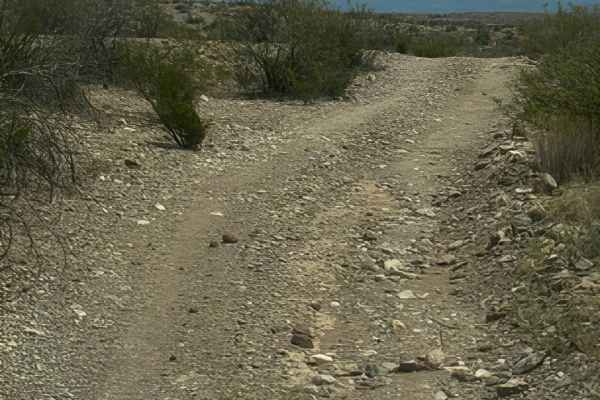
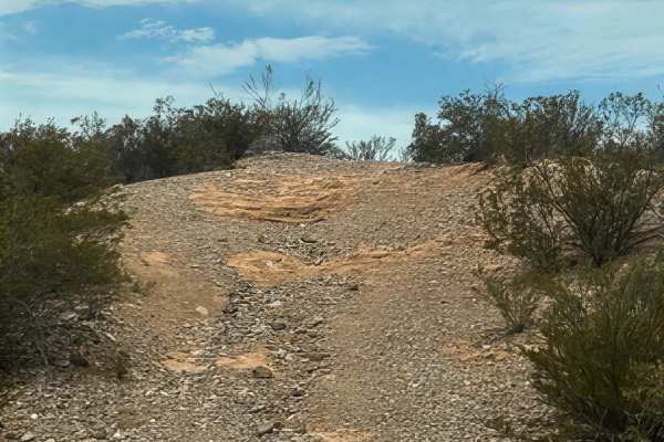
Subia Ranch Road is a smooth, wide, out-and-back gravel road on the west side of the Black Hills Backcountry Byway. The trail has a rock berm surrounded by desert creosote and prickly pear. Subia Ranch Road descends a gentle hill into a creek-wash crossing, not recommended in wet conditions. The trail continues to wind through mountainous terrain with ledge sections; remains wide and smooth; offers views of the Morenci mine and the valley below; eventually crosses a gate and a tank; keep the gate closed. The trail does come to an end at Morenci Mine private property—no obstacles found and nothing technical.
History
Subia Ranch represents the ranching heritage of southeastern Arizona, where generations of ranchers worked the rugged Gila River valley and surrounding high desert. The area’s history is tied to cattle ranching, mining, and the early settlement of the Guthrie region. Its remote location reflects the hardworking ranching lifestyle that helped shape this part of Arizona.